Booth Wood
Wood, Forest in Yorkshire
England
Booth Wood

Booth Wood is a picturesque woodland located in the county of Yorkshire, England. Nestled in the heart of the Yorkshire Dales, it covers an area of approximately 100 acres, making it a sizeable and significant natural attraction in the region. The woodland is characterized by its dense canopy of trees, primarily consisting of oak, beech, and birch, which provide a rich and vibrant habitat for various flora and fauna.
Booth Wood is renowned for its scenic beauty, with its rolling hills, meandering streams, and carpet of bluebells in the spring. It is a popular destination for nature lovers, hikers, and photographers, who are drawn to its tranquil atmosphere and stunning vistas. The woodland is crisscrossed by a network of well-maintained footpaths, allowing visitors to explore its diverse terrain and discover hidden gems along the way.
One of the notable features of Booth Wood is its abundant wildlife. The woodland is home to a wide range of species, including deer, squirrels, badgers, and a variety of birdlife. It provides a vital sanctuary for these creatures, offering a safe haven amidst the surrounding farmland and moorland.
In addition to its natural beauty, Booth Wood also holds historical significance. It is believed to have been part of an ancient hunting ground in medieval times and has remnants of old stone walls and boundary markers that add to its charm and heritage.
Overall, Booth Wood is a captivating destination that offers a perfect blend of natural splendor, wildlife diversity, and historical intrigue. Whether it's a leisurely stroll, a family picnic, or an exploration of the local flora and fauna, this woodland provides a captivating experience for visitors of all ages.
If you have any feedback on the listing, please let us know in the comments section below.
Booth Wood Images
Images are sourced within 2km of 53.479775/-1.5267057 or Grid Reference SK3198. Thanks to Geograph Open Source API. All images are credited.


Booth Wood is located at Grid Ref: SK3198 (Lat: 53.479775, Lng: -1.5267057)
Division: West Riding
Unitary Authority: Barnsley
Police Authority: South Yorkshire
What 3 Words
///opposite.available.stencil. Near Wortley, South Yorkshire
Nearby Locations
Related Wikis
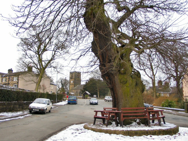
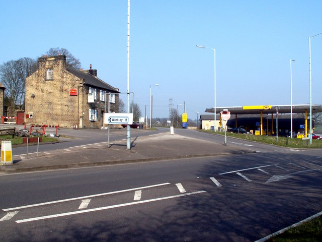
Wortley, South Yorkshire
Wortley is a village and civil parish in the Metropolitan Borough of Barnsley, South Yorkshire, England. At the 2001 census it had a population of 579...

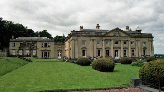
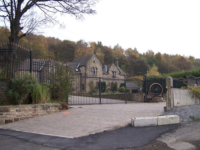
Wortley Hall
Wortley Hall is a former stately home in the small South Yorkshire village of Wortley, located south of Barnsley, England. For more than six decades the...
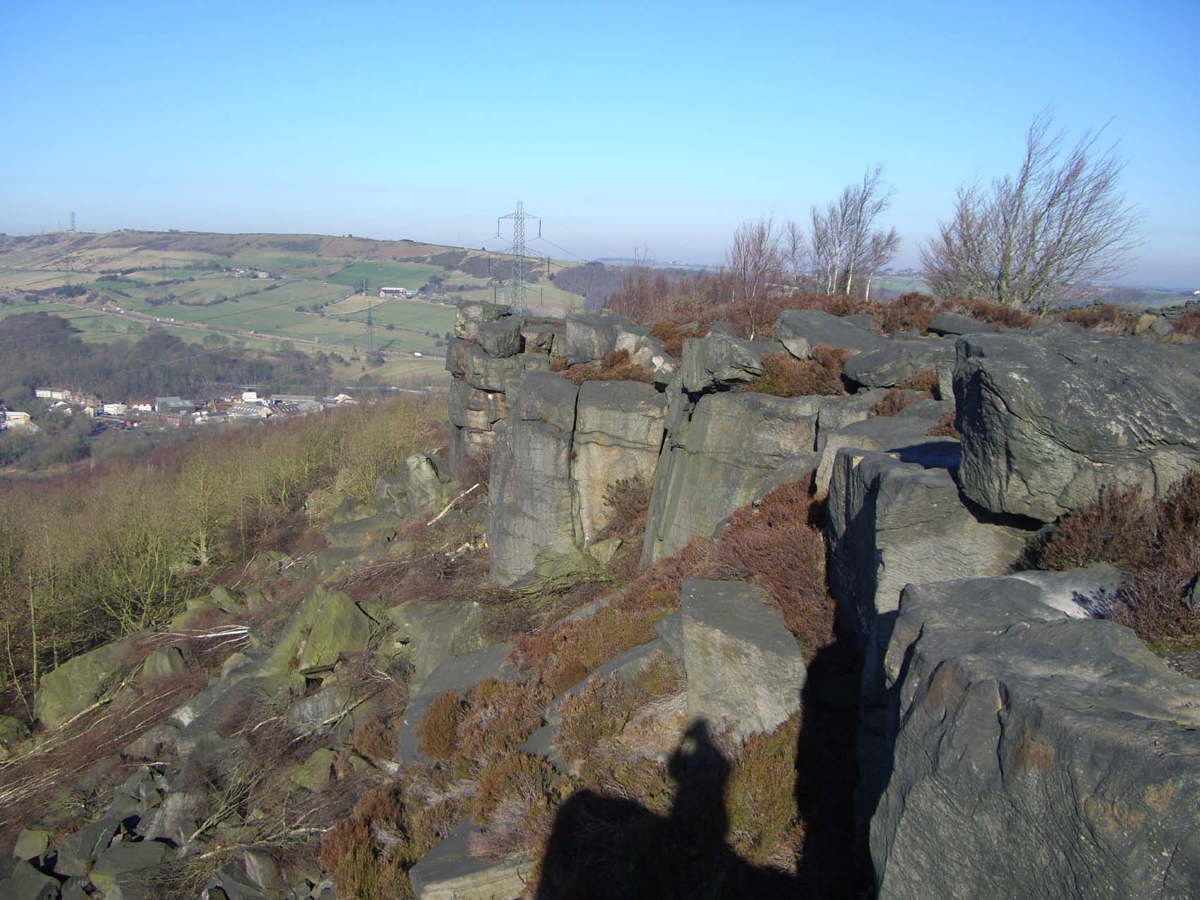
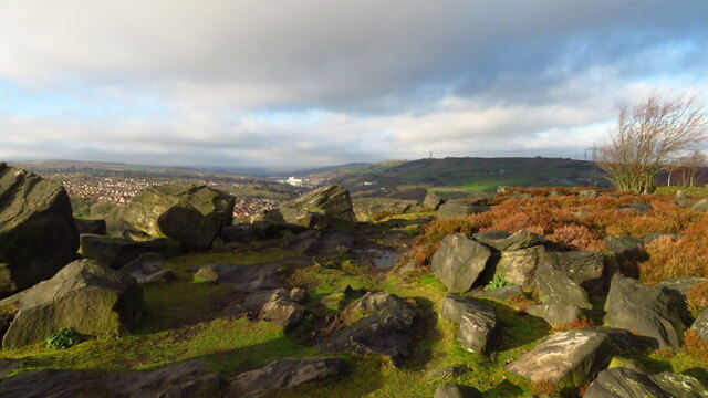
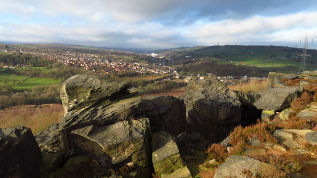
Wharncliffe Crags
Wharncliffe Crags is a gritstone escarpment or edge situated approximately 6 miles (10 km) north-west of the city of Sheffield in South Yorkshire, England...
Wortley railway station
Wortley railway station was a railway station on the Sheffield, Ashton-under-Lyne and Manchester Railway lying between Deepcar and Penistone. It was built...
Deepcar railway station
Deepcar railway station, originally "Deep Car", is a disused railway station near Deepcar, South Yorkshire, England. The station, situated on the line...

Little Don River
The Little Don River also known as the Porter, is a tributary of the River Don in South Yorkshire, England. Arising on the Langsett Moors in the northern...
High Green
High Green is the northernmost suburb of Sheffield, England, located about 8 miles from the city centre. It is found to the north of Chapeltown and is...
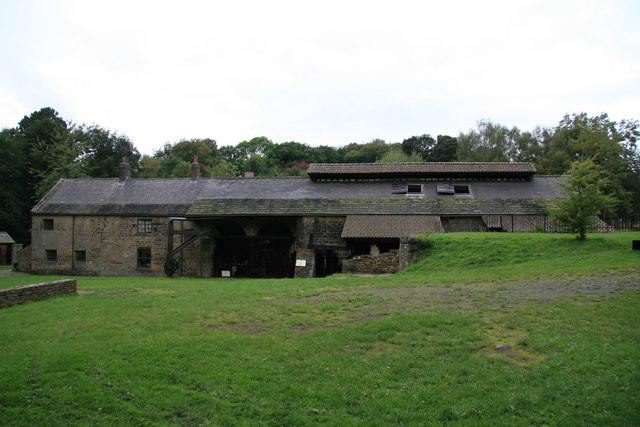
Wortley Top Forge
Wortley Top Forge is an historic former finery forge and ironworks originally dating back to the seventeenth century, although evidence suggests iron working...
Nearby Amenities
Located within 500m of 53.479775,-1.5267057Have you been to Booth Wood?
Leave your review of Booth Wood below (or comments, questions and feedback).