Hague's Wood
Wood, Forest in Yorkshire
England
Hague's Wood

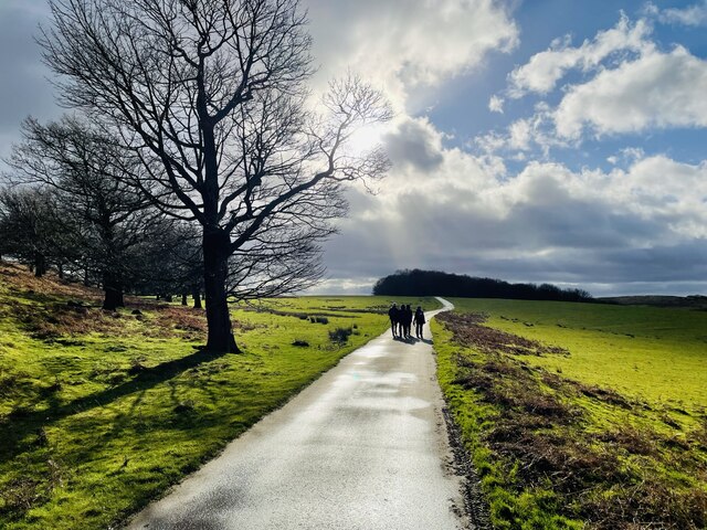
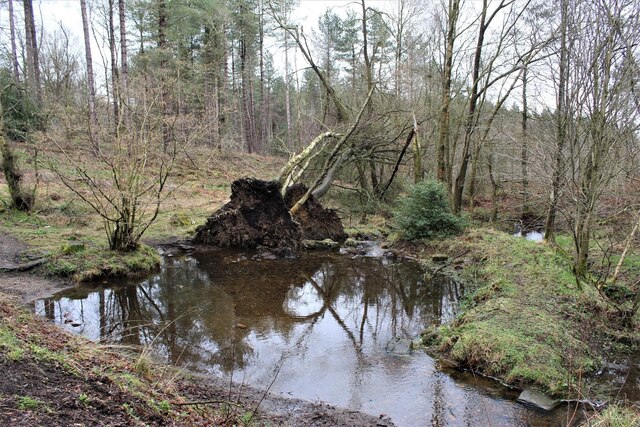
Hague's Wood, located in Yorkshire, is a picturesque forest that spans over a vast area. This woodland is renowned for its natural beauty and abundant wildlife, making it a popular destination for nature enthusiasts and hikers alike. The wood is characterized by its dense canopy of trees, predominantly consisting of oak, beech, and ash trees.
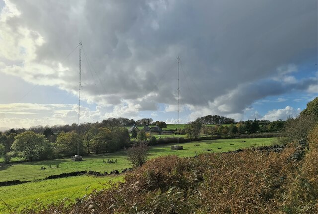
The diverse ecosystem in Hague's Wood supports a wide variety of flora and fauna. The forest floor is carpeted with an assortment of wildflowers, ferns, and mosses, creating a vibrant and colorful landscape. In addition, the wood provides a habitat for numerous bird species, such as woodpeckers, owls, and warblers, making it a haven for birdwatchers.
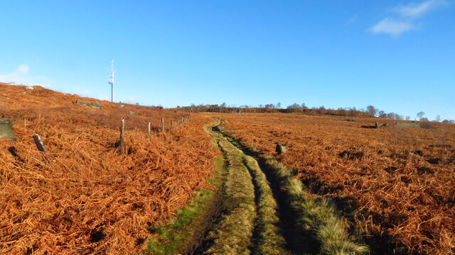
Traversing through Hague's Wood, visitors can find a network of well-maintained trails that meander through the forest, offering breathtaking views and opportunities to spot wildlife. These paths cater to all levels of hikers, from leisurely strollers to more experienced adventurers. The wood is also equipped with picnic areas and benches, providing visitors with the perfect spot to relax and enjoy the tranquility of the surroundings.
Hague's Wood is not only a haven for nature lovers but also holds historical significance. The wood has remnants of ancient settlements, including stone circles and burial mounds, which provide insights into the area's past. Additionally, the forest has been managed sustainably for centuries, with careful consideration given to conservation and preservation.
Overall, Hague's Wood in Yorkshire offers a serene and captivating experience for those seeking to immerse themselves in the beauty of nature while exploring the rich history of the area.
If you have any feedback on the listing, please let us know in the comments section below.
Hague's Wood Images
Images are sourced within 2km of 53.447611/-1.5282676 or Grid Reference SK3194. Thanks to Geograph Open Source API. All images are credited.


Hague's Wood is located at Grid Ref: SK3194 (Lat: 53.447611, Lng: -1.5282676)
Division: West Riding
Unitary Authority: Barnsley
Police Authority: South Yorkshire
What 3 Words
///influencing.bridge.runs. Near Oughtibridge, South Yorkshire
Nearby Locations
Related Wikis

Oughty Bridge railway station
Oughty Bridge railway station was a railway station on the Sheffield, Ashton-under-Lyne and Manchester Railway built to serve the village of Oughtibridge...
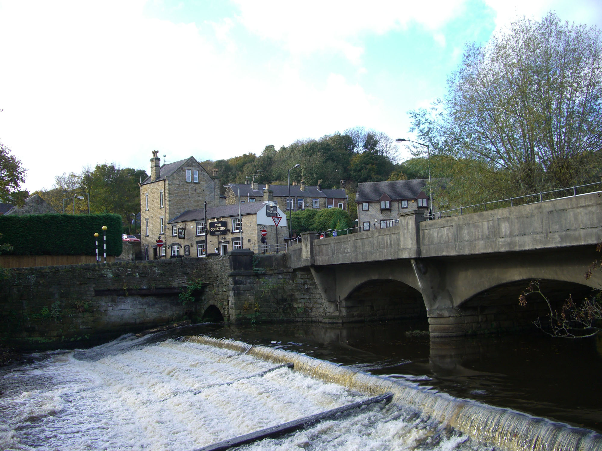
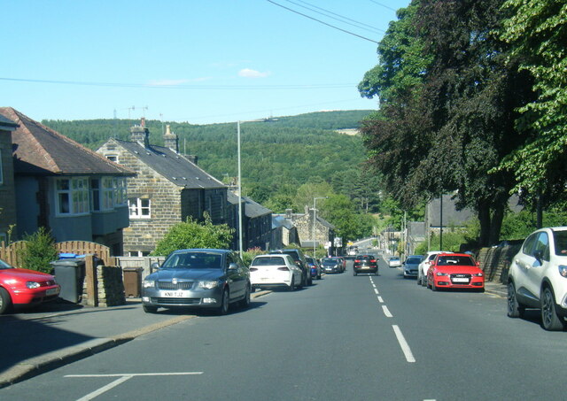
Oughtibridge
Oughtibridge ( OOT-i-brij) is a residential village in the north of Sheffield within the bounds of Bradfield civil parish. The village stands about 5 miles...

Wharncliffe Side
Wharncliffe Side is a village in South Yorkshire, England, northwest of Sheffield and within the city borough. Wharcliffe Side is located on the west bank...
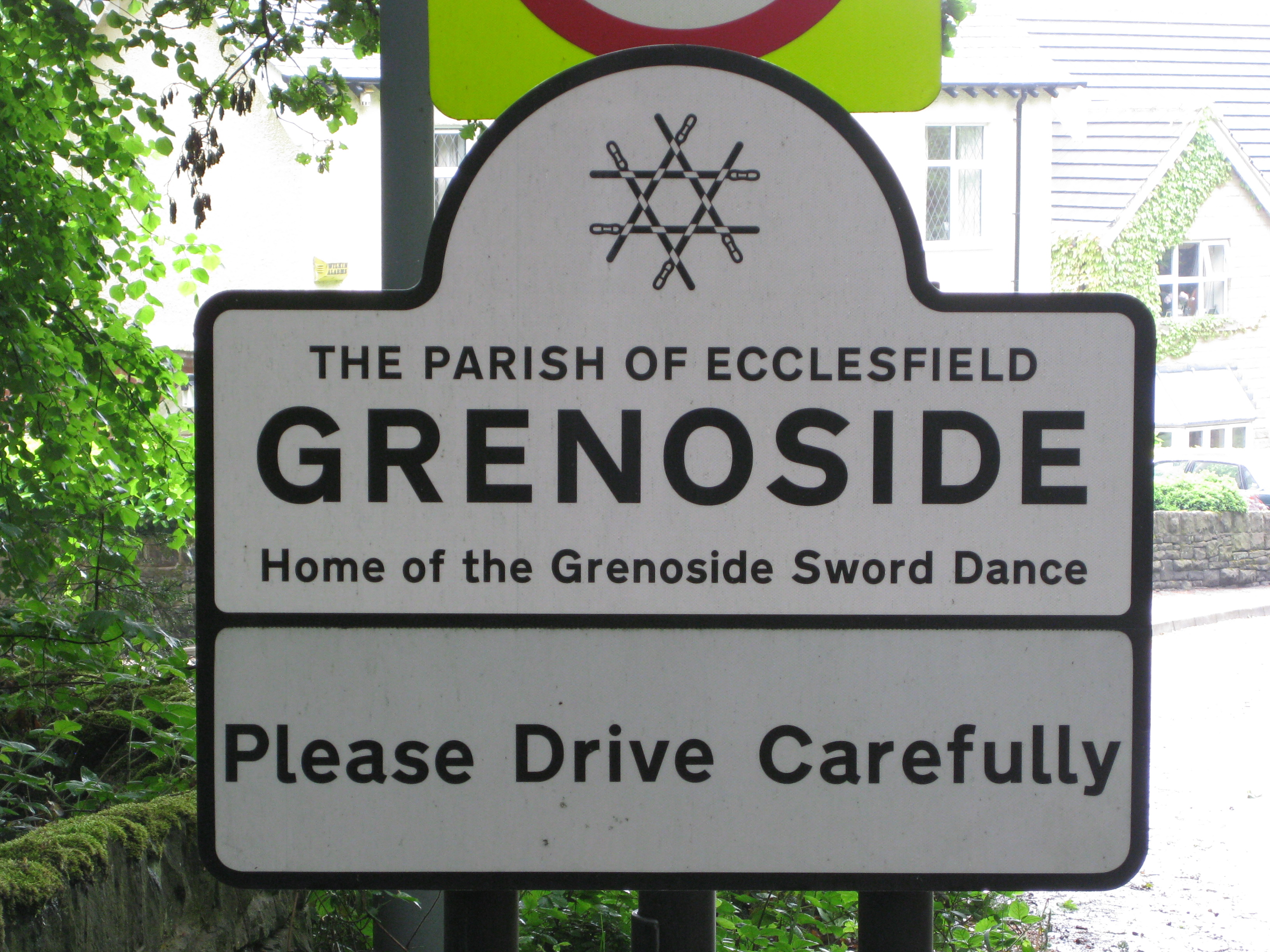
Grenoside
Grenoside is a suburb of Sheffield, South Yorkshire, England. The suburb falls within the West Ecclesfield ward of the city. == History == The name Grenoside...
Nearby Amenities
Located within 500m of 53.447611,-1.5282676Have you been to Hague's Wood?
Leave your review of Hague's Wood below (or comments, questions and feedback).