Nuttals Coppice

Wood, Forest in Derbyshire Amber Valley

England

Nuttals Coppice

Wigwell Mill Wigwell Mill or Wigwell Grange Mill is documented from the 17th century but may be much older. It ceased to be a corn mill towards the end of the 19th century and, since then, the buildings on the site have been much altered, so that not much of the originals now remains.
Wigwell Mill Credit: Ian Calderwood

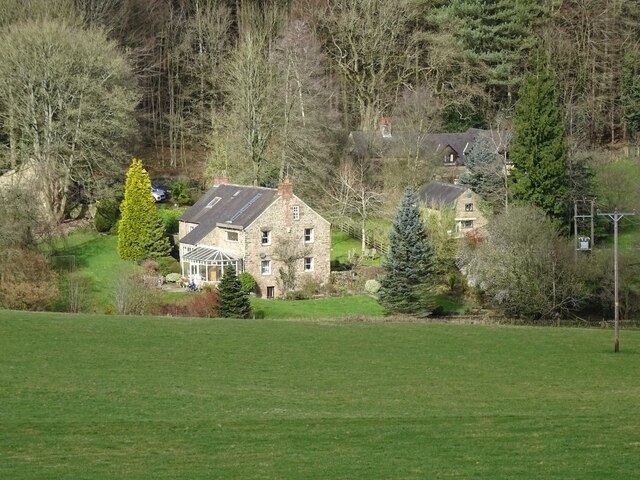
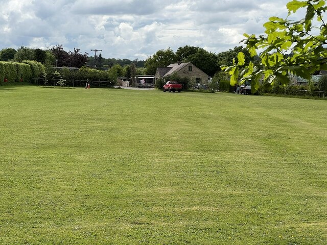
Nuttals Coppice is a picturesque woodland located in Derbyshire, England. Covering an area of approximately 100 acres, it is a popular destination for nature enthusiasts and those seeking tranquility amidst beautiful surroundings. The coppice is situated near the town of Glossop, nestled within the stunning Peak District National Park.

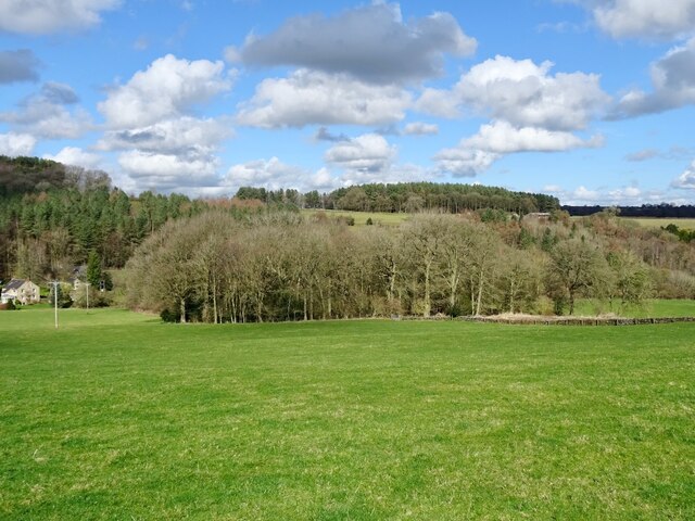
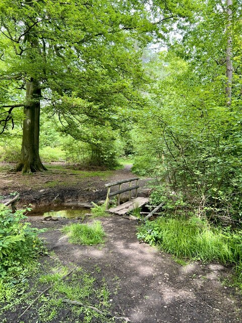
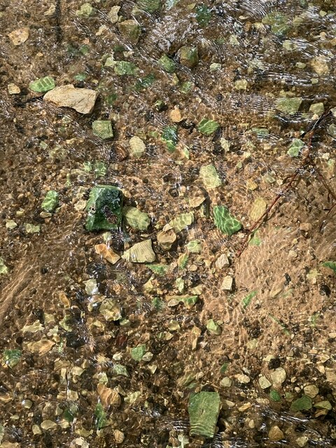
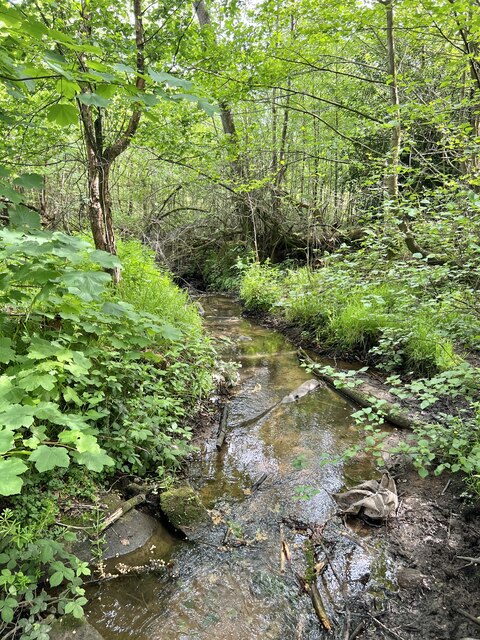
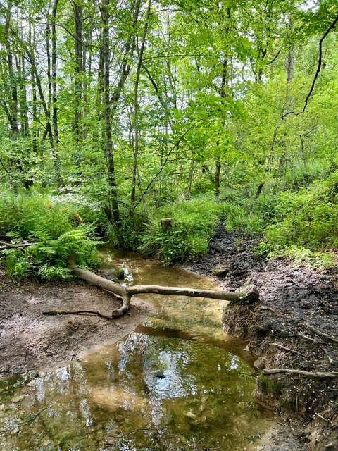
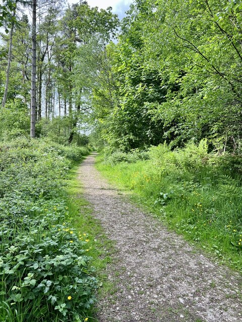
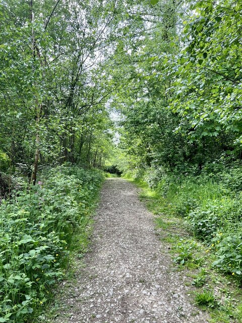
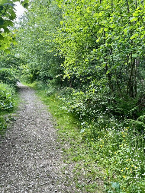
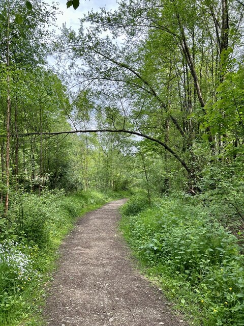
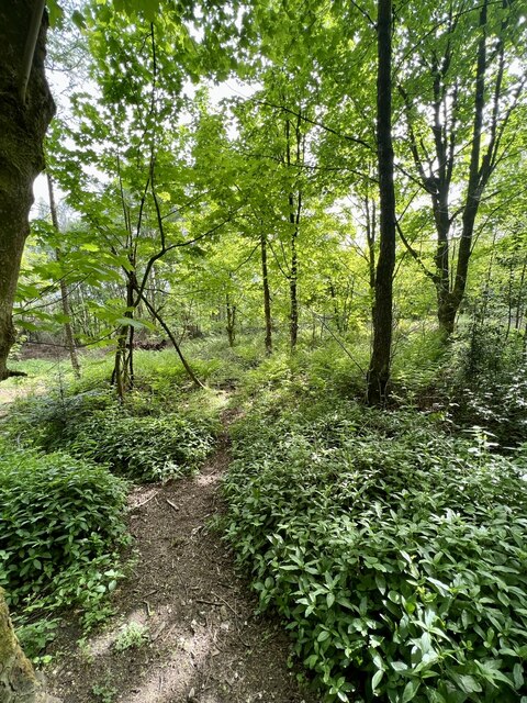
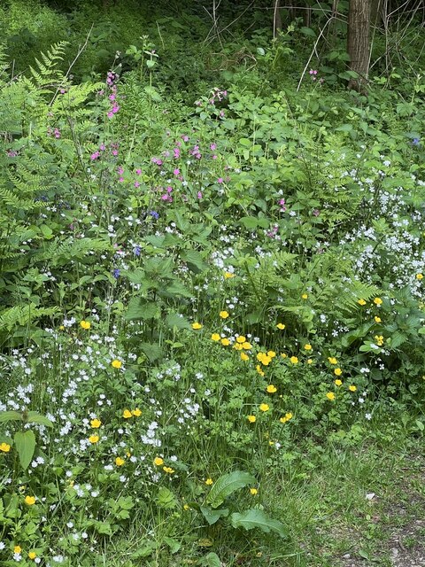
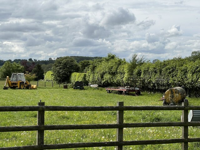
The woodland is characterized by its dense canopy of towering trees, predominantly consisting of native oak and beech species. The forest floor is adorned with a rich tapestry of wildflowers, ferns, and mosses, creating a vibrant and diverse ecosystem. Nuttals Coppice is also home to a variety of wildlife, including deer, badgers, and a plethora of bird species, making it a haven for nature lovers and birdwatchers.

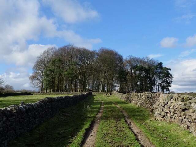
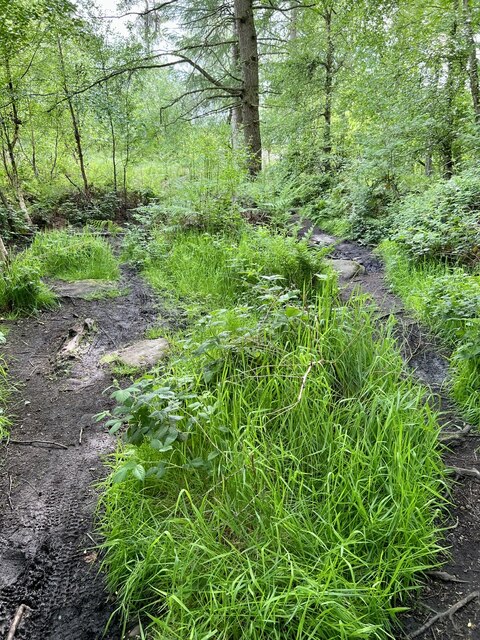
There are several well-maintained walking trails that wind through the coppice, allowing visitors to explore the woodland at their own pace. These paths offer breathtaking views of the surrounding countryside and provide opportunities for visitors to immerse themselves in the peaceful ambiance of the forest.

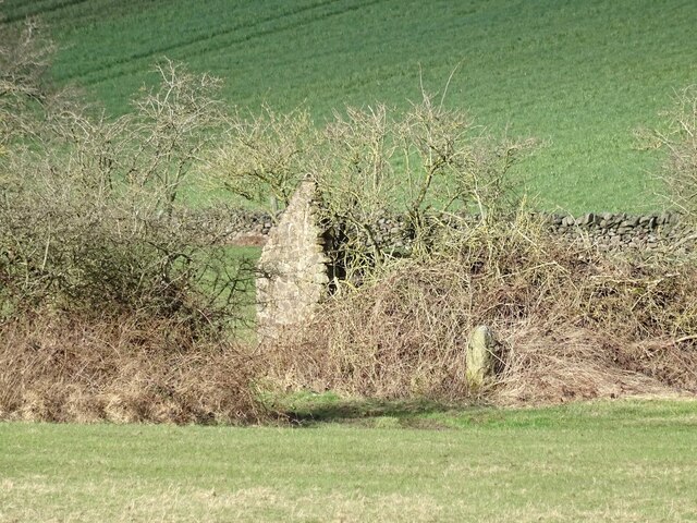
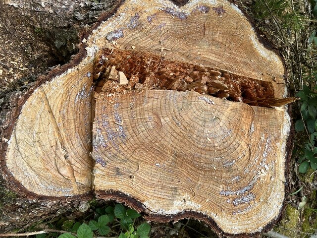
Nuttals Coppice is renowned for its historical significance, with evidence of human activity dating back centuries. The woodland was once a valuable resource for local communities, providing timber for construction and firewood. Today, it serves as an important educational and recreational resource, attracting visitors from near and far.

The coppice is easily accessible, with ample parking facilities available nearby. It is open to the public year-round and offers a welcome retreat from the hustle and bustle of everyday life, inviting visitors to reconnect with nature and enjoy the beauty of Derbyshire's woodlands.

If you have any feedback on the listing, please let us know in the comments section below.

Nuttals Coppice Images

Images are sourced within 2km of 53.074949/-1.5346022 or Grid Reference SK3153. Thanks to Geograph Open Source API. All images are credited.

Wigwell Mill Wigwell Mill or Wigwell Grange Mill is documented from the 17th century but may be much older. It ceased to be a corn mill towards the end of the 19th century and, since then, the buildings on the site have been much altered, so that not much of the originals now remains.
Wigwell Mill
Wigwell Mill or Wigwell Grange Mill is documented from the 17th century but may be much older. It ceased to be a corn mill towards the end of the 19th century and, since then, the buildings on the site have been much altered, so that not much of the originals now remains.
Mill Coppice A stand of trees at Wigwell Mill, the former buildings of which are in the background, on the left.
Mill Coppice
A stand of trees at Wigwell Mill, the former buildings of which are in the background, on the left.
Woodstock Plantation
Ruined farm building A small ruin on Wirksworth Moor, marked as an unlabelled rectangle on old maps.
Ruined farm building
A small ruin on Wirksworth Moor, marked as an unlabelled rectangle on old maps.
Woodland Footpath A small footbridge over the stream in Peat Pits Wood.
Woodland Footpath
A small footbridge over the stream in Peat Pits Wood.
Coloured stones There appear to be green algae on some of the stones in the stream.
Coloured stones
There appear to be green algae on some of the stones in the stream.
Downstream Looking downstream on Peat Pits Brook.
Downstream
Looking downstream on Peat Pits Brook.
Upstream Looking upstream on Peat Pits Brook.
Upstream
Looking upstream on Peat Pits Brook.
Peat Pits Woodland Looking Northwest on the track in Peat Pits Wood.
Peat Pits Woodland
Looking Northwest on the track in Peat Pits Wood.
Peat Pits Woodland 2 Looking southeast on the woodland path.
Peat Pits Woodland 2
Looking southeast on the woodland path.
Peat Pits Woodland 3 Going deeper into Peat Pits Woodland in an eastern direction.
Peat Pits Woodland 3
Going deeper into Peat Pits Woodland in an eastern direction.
Tree stump A recently felled Larch tree stump.
Tree stump
A recently felled Larch tree stump.
Spindly Tree A very thin and spindly tree dropping over the path.
Spindly Tree
A very thin and spindly tree dropping over the path.
Woodland Clearing Trees have been felled several years ago, with bracken and other woodland plant growing amongst  the scrub trees.
Woodland Clearing
Trees have been felled several years ago, with bracken and other woodland plant growing amongst the scrub trees.
Woodland Flowers A collection of wild flowers, blue bells, buttercups, ladysmock and pink campion.
Woodland Flowers
A collection of wild flowers, blue bells, buttercups, ladysmock and pink campion.
Wet Footpath A very damp section of footpath, with people trying to find the driest way through.
Wet Footpath
A very damp section of footpath, with people trying to find the driest way through.
Bear Pit Campsite A nice looking campsite, but as its name suggests, rather bare.
Bear Pit Campsite
A nice looking campsite, but as its name suggests, rather bare.
Farm Implements An array of older farming implements.
Farm Implements
An array of older farming implements.
Show me another place!

Nuttals Coppice is located at Grid Ref: SK3153 (Lat: 53.074949, Lng: -1.5346022)

Administrative County: Derbyshire

District: Amber Valley

Police Authority: Derbyshire

What 3 Words

///amps.auctioned.loyal. Near Wirksworth, Derbyshire

Related Wikis

Alderwasley

Alderwasley ( AL-ərz-LEE) is a village and civil parish in the Amber Valley district of Derbyshire, England. The population of the civil parish as of the...

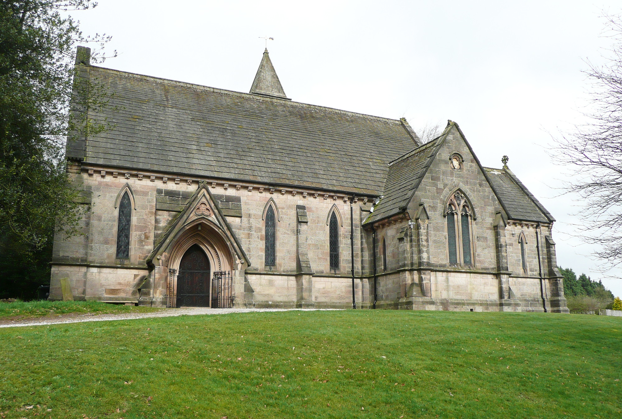
All Saints' Church, Alderwasley

All Saints’ Church, Alderwasley, is a Grade II listed parish church in the Church of England: 55  in Alderwasley, Derbyshire. == History == The church...

Alderwasley Hall School

Alderwasley Hall School is a private residential special school. The school is for children and young people aged 5 to 20 with High-Functioning ASD (Autism...

Breamfield

Breamfield is a hamlet in Derbyshire, England. It is located 1 mile south-east of Wirksworth.

Alport Height

Alport Height is a hill near Wirksworth in Derbyshire. It is a popular picnic site, since it has extensive views to the South, and is the first hill over...

Shining Cliff Woods, Derbyshire

Shining Cliff Woods are on the west bank of the River Derwent near to Ambergate in Derbyshire, England. In medieval times "Schymynde-cliffe" was one of...

Whatstandwell railway station

Whatstandwell railway station is a railway station owned by Network Rail and managed by East Midlands Railway. It serves the villages of Whatstandwell...

Derwent Valley line

The Derwent Valley line is a railway line from Derby to Matlock in Derbyshire. The line follows the Midland Main Line as far as Ambergate Junction, which...

Nearby Amenities

Located within 500m of 53.074949,-1.5346022
Barrier: stile
Lat/Long: 53.0715438/-1.5332118
Barrier: stile
Lat/Long: 53.0722792/-1.534063
Barrier: stile
Stile: squeezer
Lat/Long: 53.0718505/-1.5393537
Post Box
Operator: Royal Mail
Ref: DE56 327
Lat/Long: 53.0783883/-1.5298293
Barrier: stile
Ele: 204.0000000
Lat/Long: 53.0792841/-1.5329835
Barrier: stile
Ele: 209.0000000
Steps: 0
Stile: stepover
Lat/Long: 53.0791297/-1.5344433
Barrier: stile
Ele: 209.0000000
Steps: 0
Stile: stepover
Lat/Long: 53.0791231/-1.5344759
Ele: 210.0000000
Lat/Long: 53.0789536/-1.5350539
Ele: 207.0000000
Lat/Long: 53.0781272/-1.5363975
Ele: 204.0000000
Lat/Long: 53.0782114/-1.5359583
Barrier: stile
Ele: 208.0000000
Steps: 1
Stile: stepover
Lat/Long: 53.0781695/-1.5364438
Ele: 208.0000000
Lat/Long: 53.0781562/-1.5364223
Ele: 207.0000000
Lat/Long: 53.0781393/-1.5364063
Ele: 210.0000000
Lat/Long: 53.0788495/-1.5370124
Ele: 197.0000000
Lat/Long: 53.0771488/-1.5334828
Ele: 196.0000000
Lat/Long: 53.0770238/-1.5333573
Barrier: stile
Ele: 201.0000000
Stile: squeezer
Lat/Long: 53.0775974/-1.5344987
Barrier: stile
Stile: squeezer
Lat/Long: 53.0750815/-1.5305913
Ele: 198
Lat/Long: 53.0744026/-1.5278154
Ele: 200.0000000
Lat/Long: 53.0742318/-1.5275728
Barrier: stile
Ele: 199.0000000
Stile: squeezer
Lat/Long: 53.074594/-1.5286386
Barrier: stile
Ele: 199.0000000
Stile: squeezer
Lat/Long: 53.0743593/-1.5277716
Barrier: stile
Source: gps;survey
Lat/Long: 53.0759922/-1.5276535
Barrier: stile
Source: survey;gps
Stile: squeezer
Lat/Long: 53.0709447/-1.5330004
Barrier: stile
Steps: 0
Stile: stepover
Lat/Long: 53.0709155/-1.5330076
The data included in this document is from www.openstreetmap.org. The data is made available under ODbL.

Have you been to Nuttals Coppice?

Leave your review of Nuttals Coppice below (or comments, questions and feedback).