Roundring Plantation
Wood, Forest in Derbyshire Amber Valley
England
Roundring Plantation
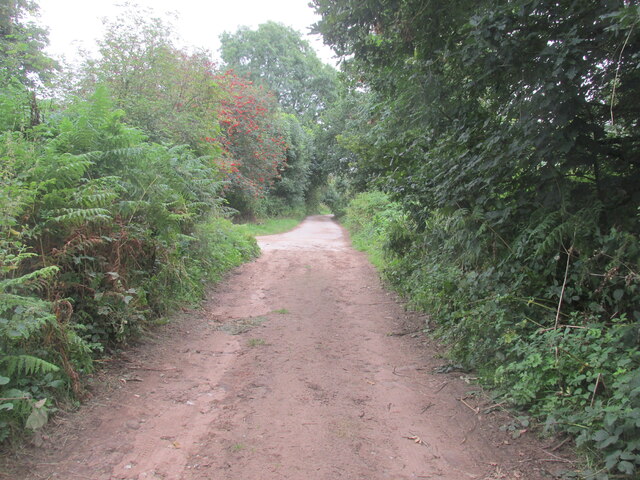
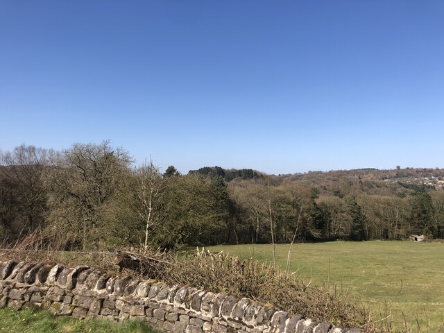
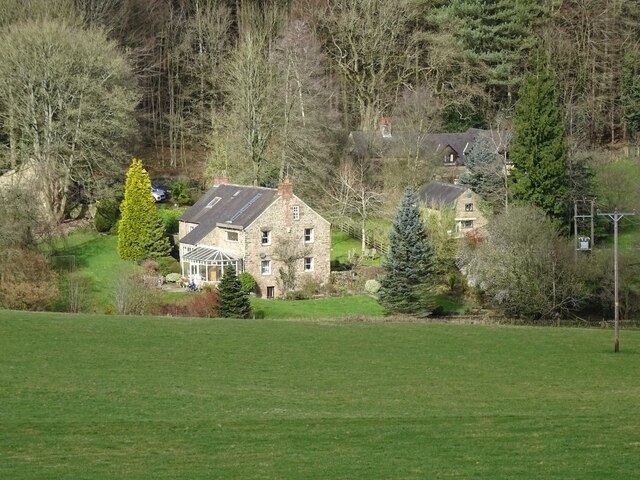
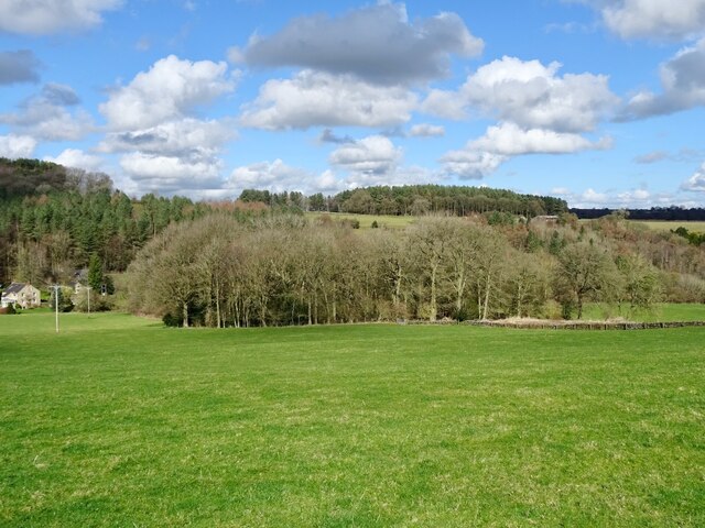
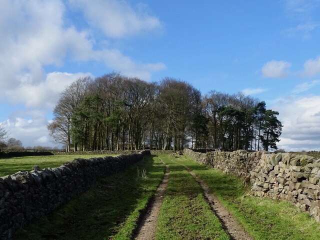
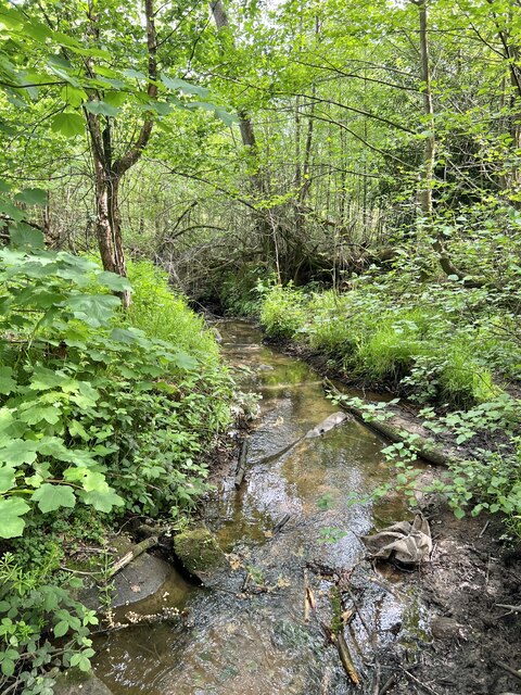
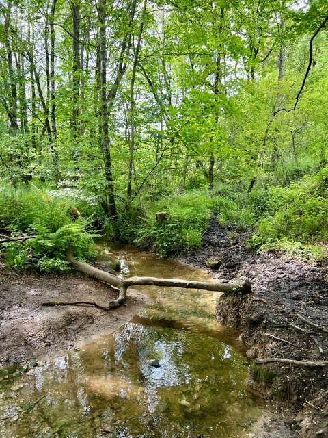
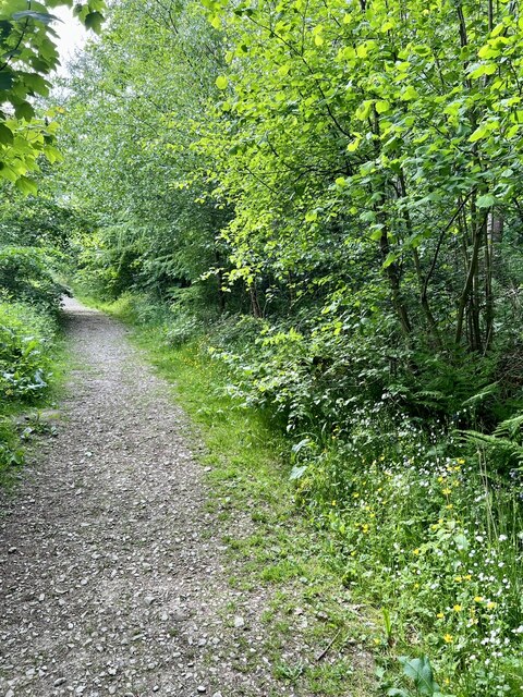
Roundring Plantation is a picturesque woodland located in Derbyshire, England. Situated in the heart of the county, it covers an area of approximately 50 acres and is renowned for its natural beauty and diverse ecosystem. The plantation is named after a circular ring of trees that encircles the central clearing, creating a unique and enchanting atmosphere.
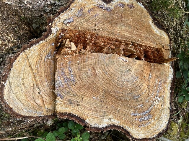
The woodland is predominantly composed of native deciduous trees, including oak, beech, and birch, which create a dense canopy overhead. This lush vegetation provides a habitat for a wide range of wildlife, from birds and small mammals to insects and fungi. Nature enthusiasts flock to Roundring Plantation to observe and appreciate the rich biodiversity that thrives within its boundaries.
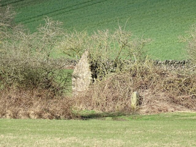
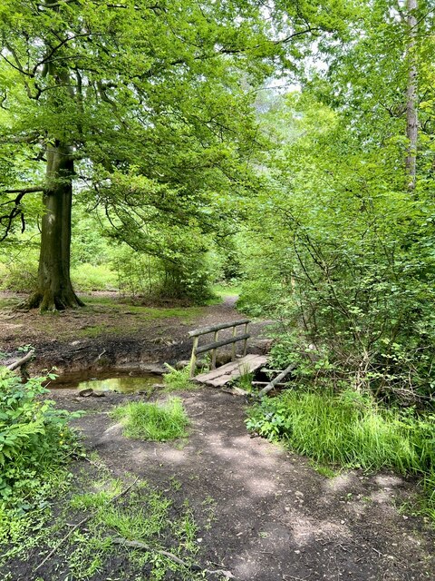
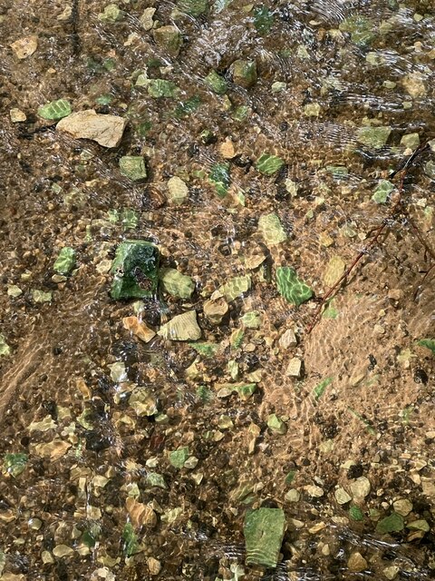
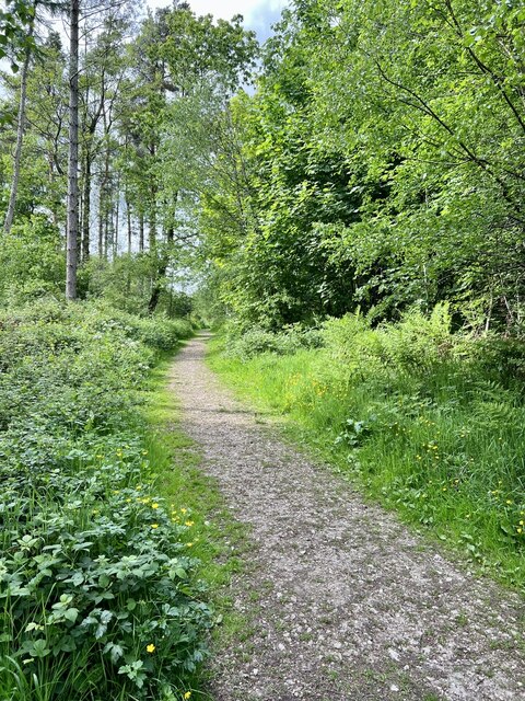
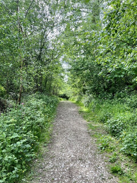
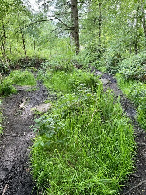
Tranquil walking trails wind through the plantation, allowing visitors to explore the woodland at their own pace. These paths lead to a variety of scenic spots, such as a babbling brook, a serene pond, and a charming picnic area, where visitors can relax and enjoy the peaceful surroundings. The plantation is also home to a number of rare and protected plant species, making it a site of significant ecological importance.
Roundring Plantation offers a tranquil escape from the hustle and bustle of everyday life, providing visitors with the opportunity to reconnect with nature. Its accessibility and well-maintained facilities make it a popular destination for families, nature lovers, and outdoor enthusiasts alike. Whether one seeks a peaceful walk in the woods or an educational experience about the local flora and fauna, Roundring Plantation is a must-visit destination in Derbyshire.
If you have any feedback on the listing, please let us know in the comments section below.
Roundring Plantation Images
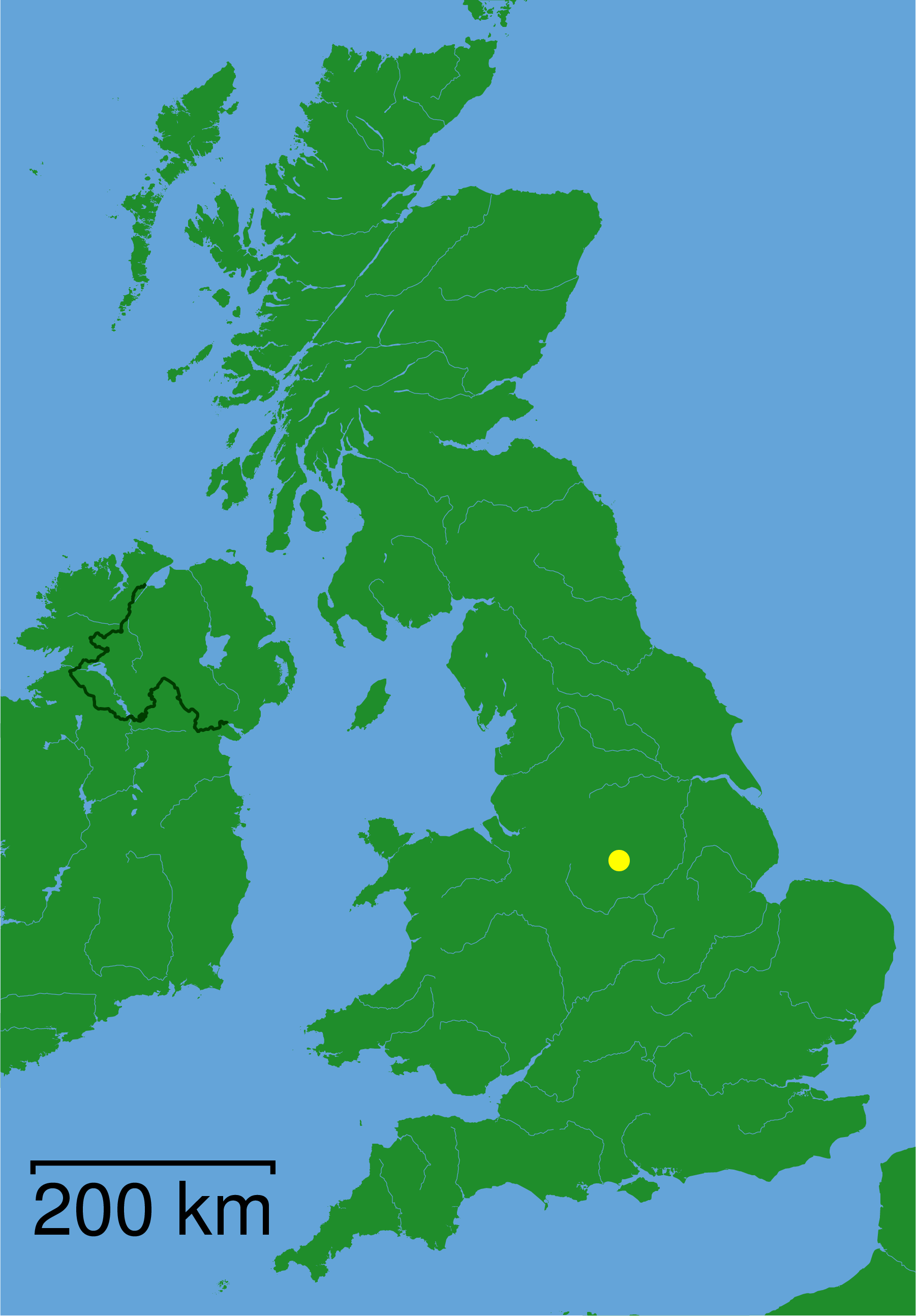
Images are sourced within 2km of 53.080851/-1.5380617 or Grid Reference SK3153. Thanks to Geograph Open Source API. All images are credited.


Roundring Plantation is located at Grid Ref: SK3153 (Lat: 53.080851, Lng: -1.5380617)
Administrative County: Derbyshire
District: Amber Valley
Police Authority: Derbyshire
What 3 Words
///ringers.rubble.pity. Near Wirksworth, Derbyshire
Nearby Locations
Related Wikis
Alderwasley
Alderwasley ( AL-ərz-LEE) is a village and civil parish in the Amber Valley district of Derbyshire, England. The population of the civil parish as of the...

Breamfield
Breamfield is a hamlet in Derbyshire, England. It is located 1 mile south-east of Wirksworth.
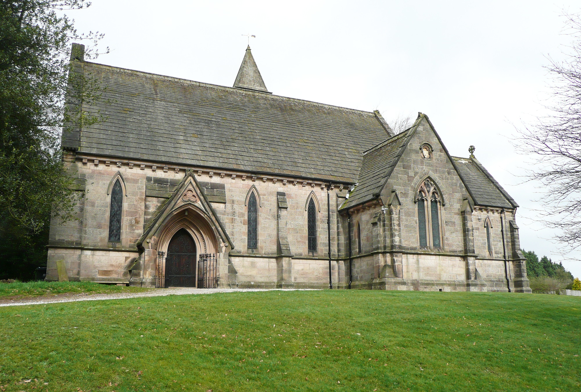
All Saints' Church, Alderwasley
All Saints’ Church, Alderwasley, is a Grade II listed parish church in the Church of England: 55 in Alderwasley, Derbyshire. == History == The church...

Alderwasley Hall School
Alderwasley Hall School is a private residential special school. The school is for children and young people aged 5 to 20 with High-Functioning ASD (Autism...

Leawood Pump House
The Leawood Pump House (also known as High Peak Pump House) was built near Cromford, Derbyshire, England in 1849 to supply water to the Cromford Canal...

Wirksworth railway station
Wirksworth Railway Station is a heritage railway station that serves the town of Wirksworth in Derbyshire. It was the former terminus of the Midland Railway...
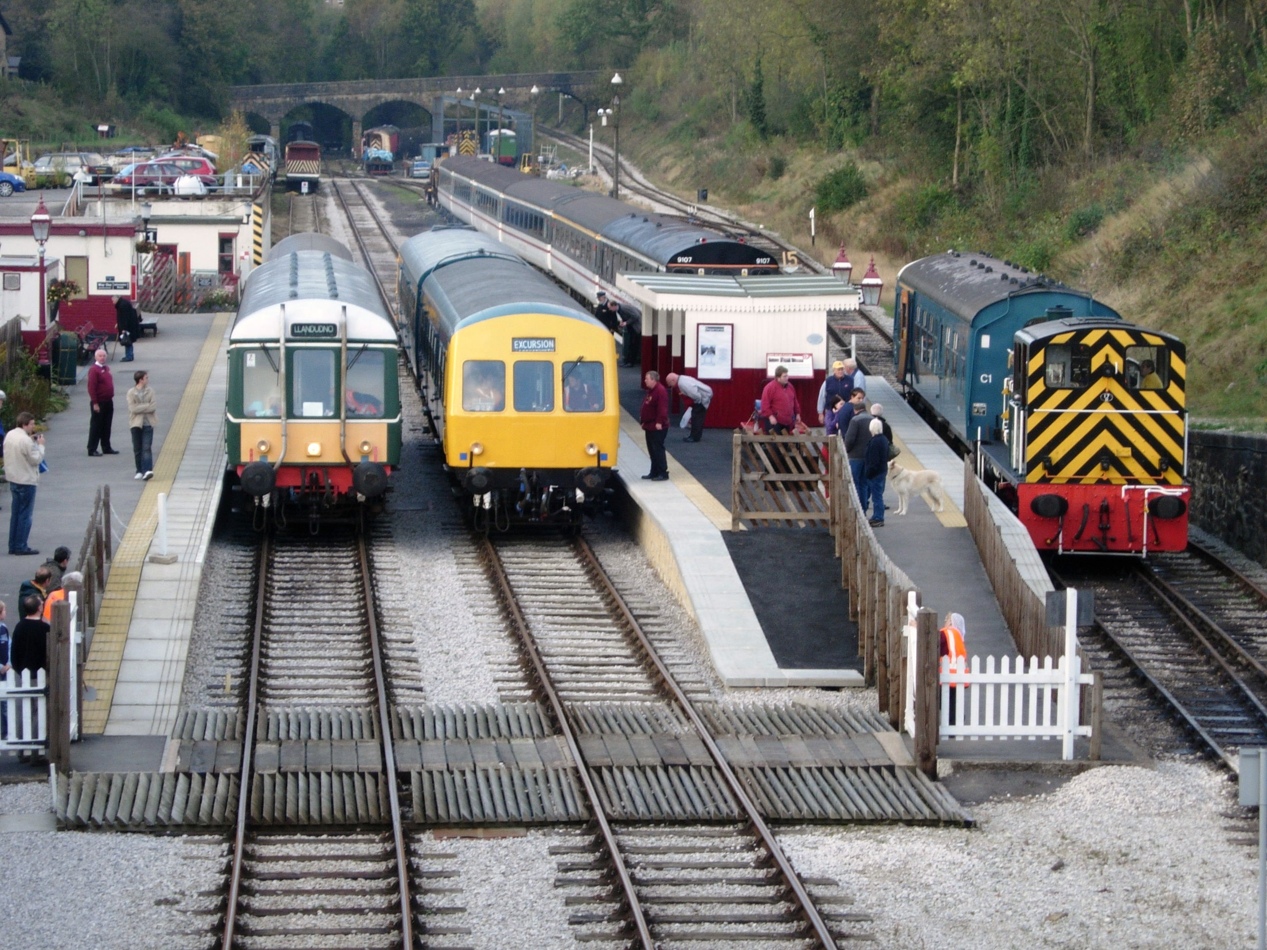
Ecclesbourne Valley Railway
The Ecclesbourne Valley Railway is a 9-mile (14.5 km) long heritage railway in Derbyshire. The headquarters of the railway centre on Wirksworth station...
High Peak Junction
High Peak Junction, near Cromford, Derbyshire, England, is the name now used to describe the site where the former Cromford and High Peak Railway (C&HPR...
Nearby Amenities
Located within 500m of 53.080851,-1.5380617Have you been to Roundring Plantation?
Leave your review of Roundring Plantation below (or comments, questions and feedback).