Longcarr Wood
Wood, Forest in Derbyshire Amber Valley
England
Longcarr Wood
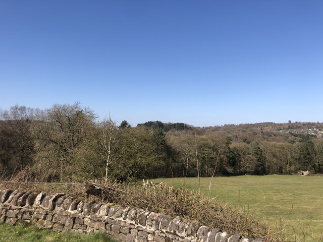
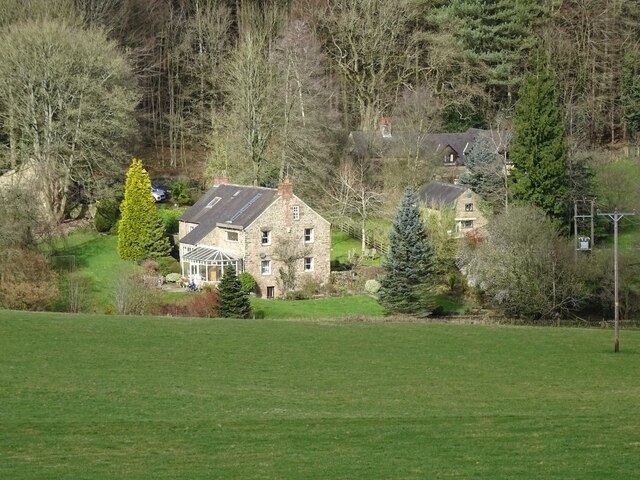
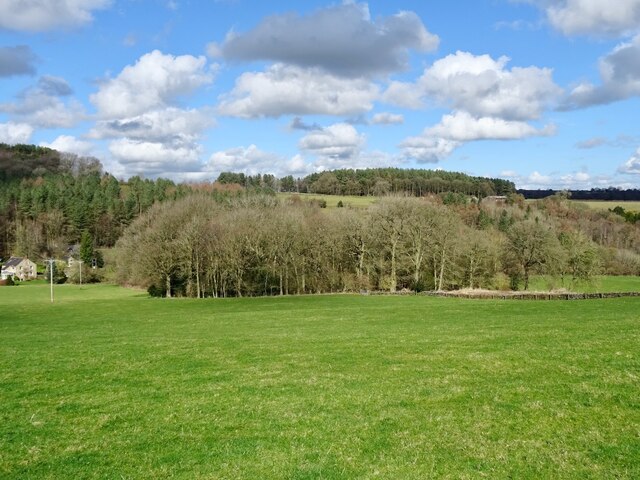
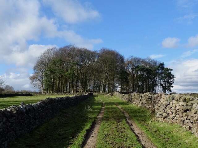
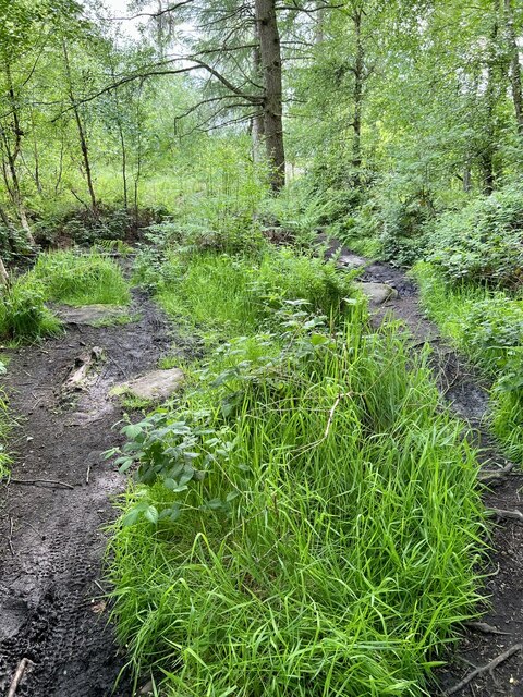
Longcarr Wood is a picturesque woodland located in Derbyshire, England. Nestled within the Peak District National Park, it covers an area of approximately 100 acres and is known for its diverse range of flora and fauna. The wood is situated near the village of Longcarr, just a few miles away from the town of Buxton.
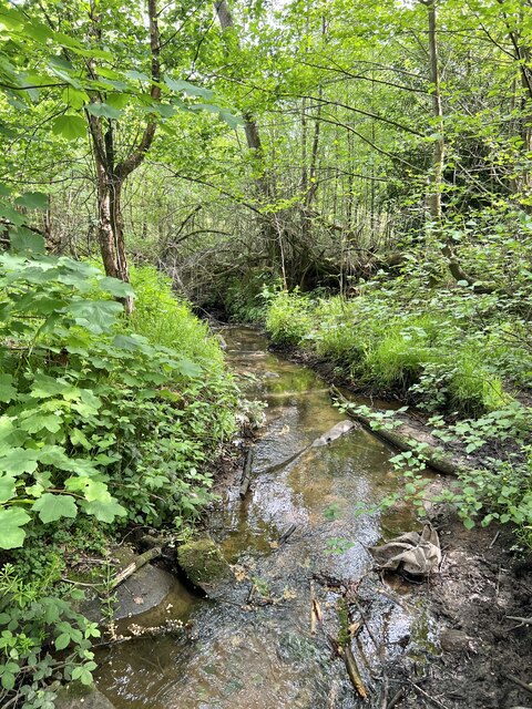
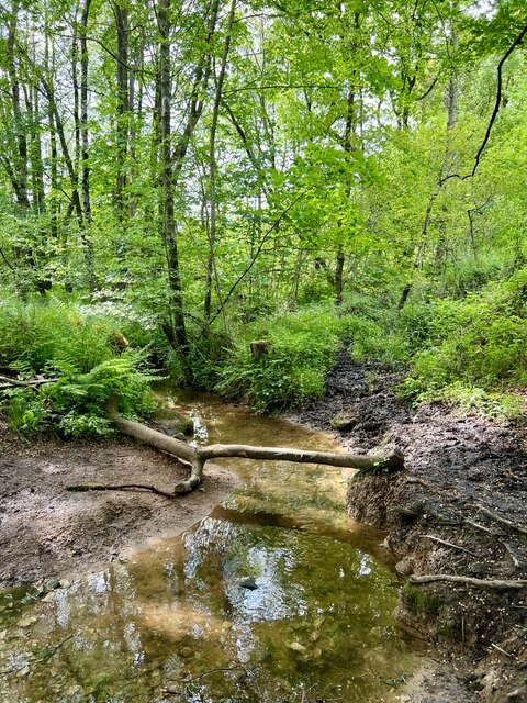
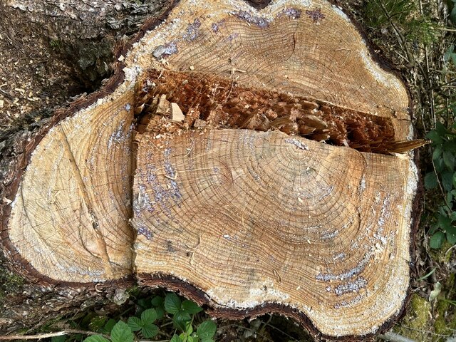
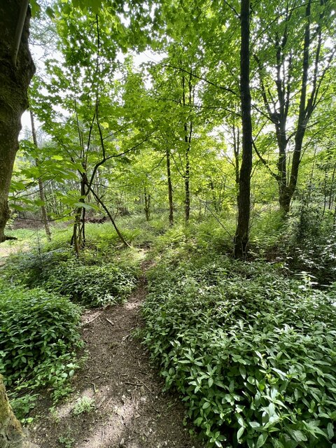
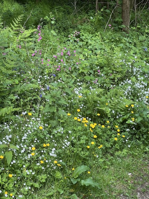
Longcarr Wood is predominantly composed of deciduous trees, such as oak, beech, and birch, which create a vibrant and ever-changing canopy throughout the seasons. The wood is also home to a variety of wildlife, including deer, foxes, badgers, and a wide array of bird species. Nature enthusiasts often visit Longcarr Wood to observe and photograph these creatures in their natural habitat.
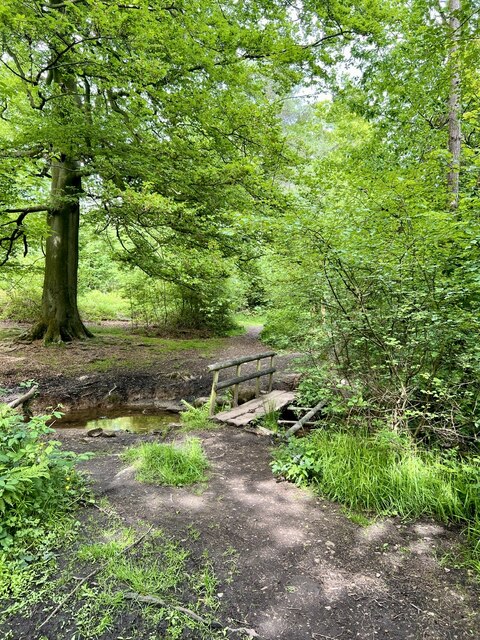
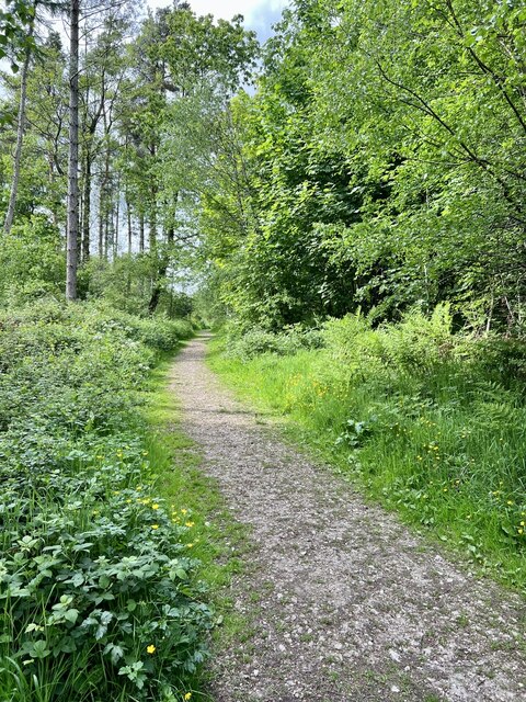
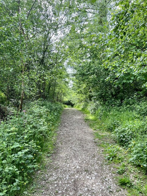
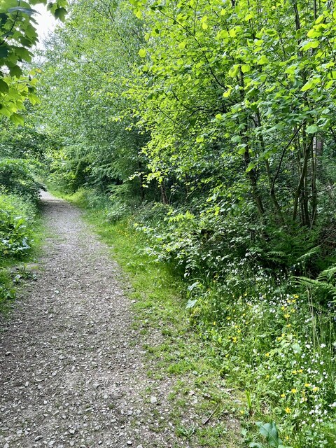
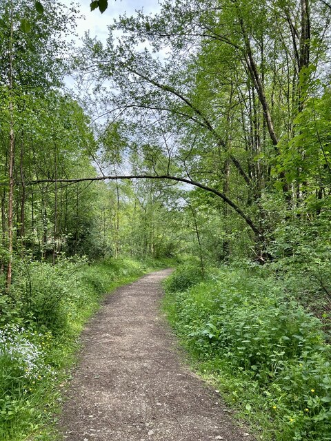
The wood features a network of well-maintained footpaths, allowing visitors to explore its beauty at their own pace. These paths lead to several viewpoints that offer stunning vistas of the surrounding countryside. In addition, there are picnic areas and benches scattered throughout the wood, providing opportunities for visitors to relax and enjoy the tranquil atmosphere.
Longcarr Wood has a rich history, with evidence of human activity dating back centuries. The wood has been managed sustainably, with selective logging and tree planting programs in place to ensure its long-term health. It is also part of a larger conservation effort to protect and preserve the natural beauty of the Peak District National Park.
Overall, Longcarr Wood is a haven for nature lovers and those seeking a peaceful retreat. Its beauty, biodiversity, and accessibility make it a popular destination for locals and tourists alike, who are drawn to its serene atmosphere and stunning natural scenery.
If you have any feedback on the listing, please let us know in the comments section below.
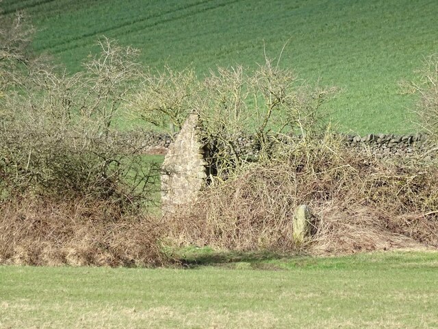
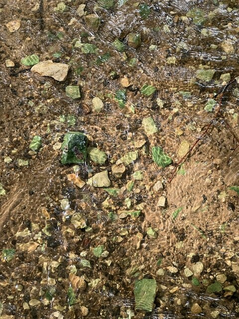
Longcarr Wood Images
Images are sourced within 2km of 53.077345/-1.5381589 or Grid Reference SK3153. Thanks to Geograph Open Source API. All images are credited.
Longcarr Wood is located at Grid Ref: SK3153 (Lat: 53.077345, Lng: -1.5381589)
Administrative County: Derbyshire
District: Amber Valley
Police Authority: Derbyshire
What 3 Words
///neatly.hers.kinder. Near Wirksworth, Derbyshire
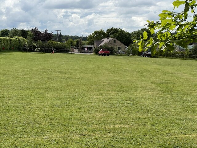
Nearby Locations
Related Wikis
Alderwasley
Alderwasley ( AL-ərz-LEE) is a village and civil parish in the Amber Valley district of Derbyshire, England. The population of the civil parish as of the...

Breamfield
Breamfield is a hamlet in Derbyshire, England. It is located 1 mile south-east of Wirksworth.
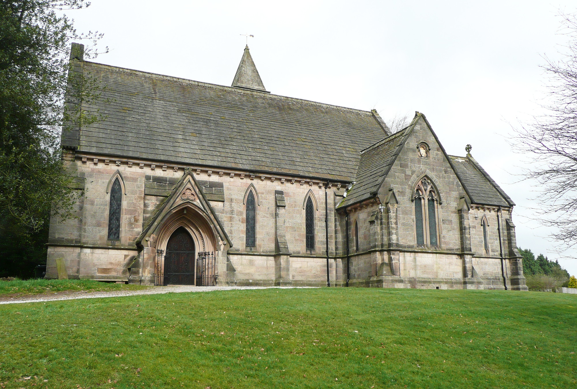
All Saints' Church, Alderwasley
All Saints’ Church, Alderwasley, is a Grade II listed parish church in the Church of England: 55 in Alderwasley, Derbyshire. == History == The church...

Alderwasley Hall School
Alderwasley Hall School is a private residential special school. The school is for children and young people aged 5 to 20 with High-Functioning ASD (Autism...

Alport Height
Alport Height is a hill near Wirksworth in Derbyshire. It is a popular picnic site, since it has extensive views to the South, and is the first hill over...

Wirksworth railway station
Wirksworth Railway Station is a heritage railway station that serves the town of Wirksworth in Derbyshire. It was the former terminus of the Midland Railway...
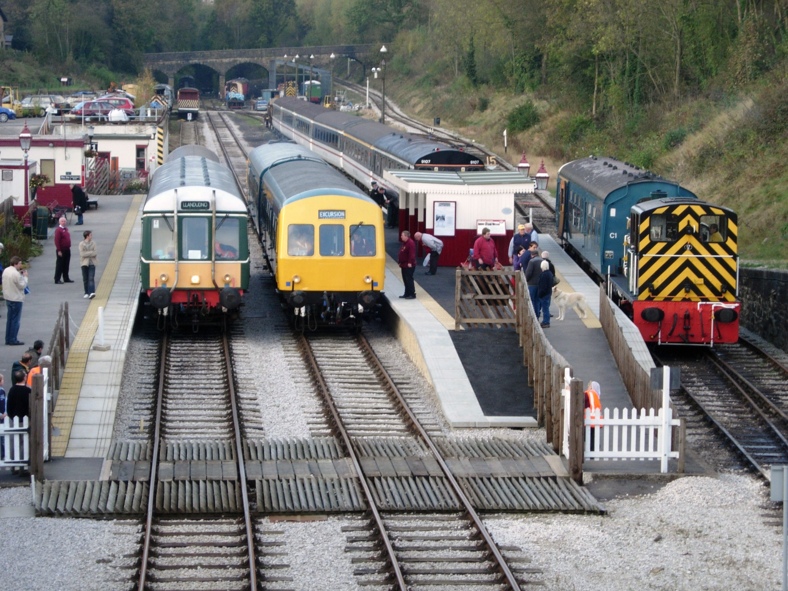
Ecclesbourne Valley Railway
The Ecclesbourne Valley Railway is a 9-mile (14.5 km) long heritage railway in Derbyshire. The headquarters of the railway centre on Wirksworth station...

Anthony Gell School
Anthony Gell School is a coeducational secondary school and sixth form located in Wirksworth in the English county of Derbyshire.It began as a Free Grammar...
Nearby Amenities
Located within 500m of 53.077345,-1.5381589Have you been to Longcarr Wood?
Leave your review of Longcarr Wood below (or comments, questions and feedback).