Kitts Merries Copse

Wood, Forest in Hampshire Test Valley

England

Kitts Merries Copse

Glebe Garage, Sheffield English
Glebe Garage, Sheffield English Credit: Roger Cornfoot

Kitts Merries Copse is a picturesque woodland located in Hampshire, England. Spanning over several acres, this enchanting forest offers a tranquil escape from the hustle and bustle of everyday life.

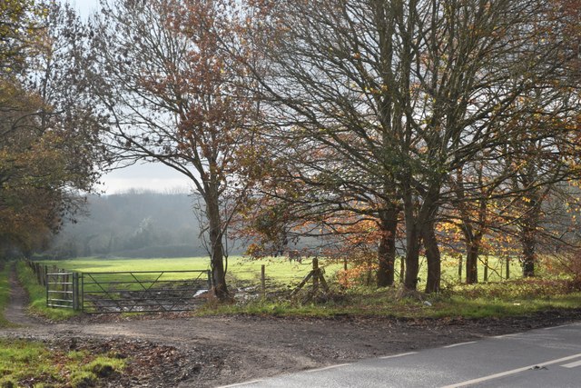
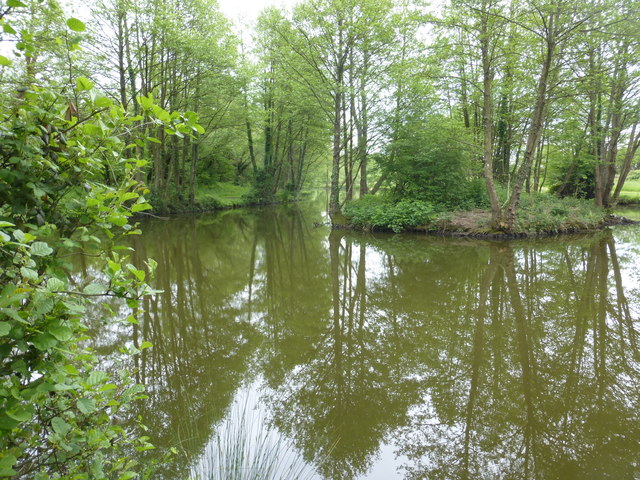
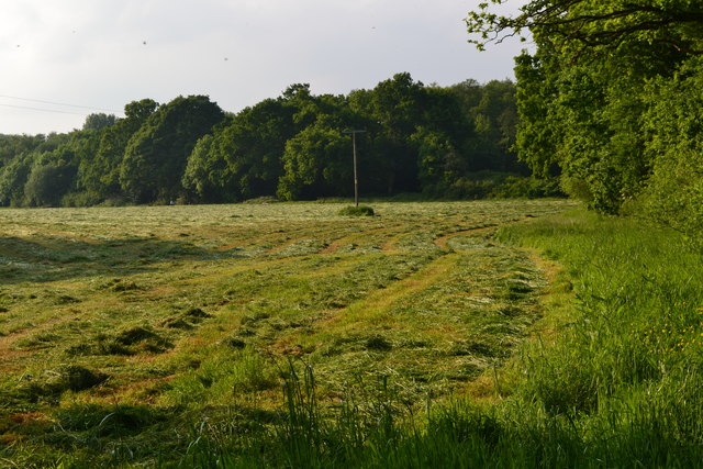
The copse is characterized by a diverse range of tree species, including oak, beech, and ash. The towering trees create a dense canopy, allowing only dappled sunlight to filter through to the forest floor. This creates a magical atmosphere, especially during the golden hours of sunrise and sunset.

The woodland is home to a plethora of wildlife, making it a haven for nature enthusiasts. Visitors may spot a variety of bird species, such as robins, woodpeckers, and owls, as well as small mammals like squirrels and rabbits. The copse also boasts a rich diversity of flora, with wildflowers, ferns, and mosses carpeting the forest floor.

For those seeking outdoor activities, Kitts Merries Copse offers several walking trails that wind their way through the forest. These paths cater to all levels of fitness, from leisurely strolls to more challenging hikes. Along the way, hikers can admire the natural beauty of the woodland, with its ancient trees and vibrant wildlife.

Overall, Kitts Merries Copse is a hidden gem in Hampshire, offering a serene and idyllic setting for nature lovers and outdoor enthusiasts alike. Whether one is looking for a peaceful retreat or an opportunity to explore the wonders of the natural world, this enchanting forest is sure to captivate all who visit.

If you have any feedback on the listing, please let us know in the comments section below.

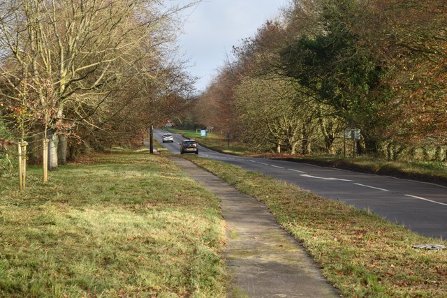
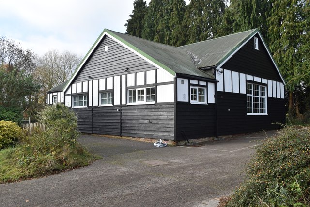
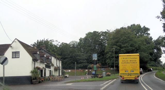
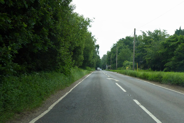
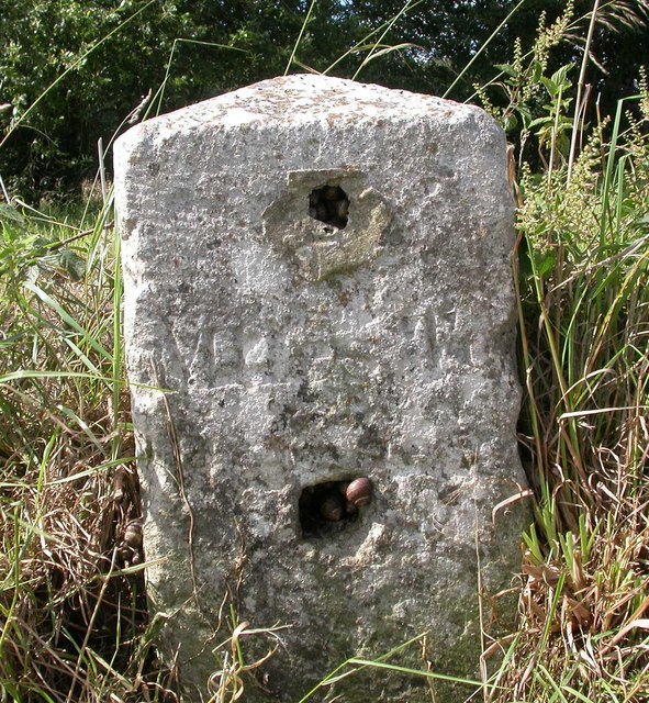
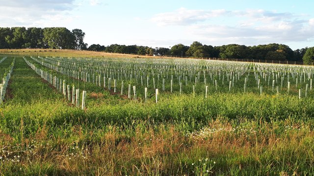
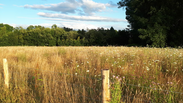
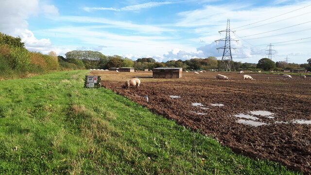
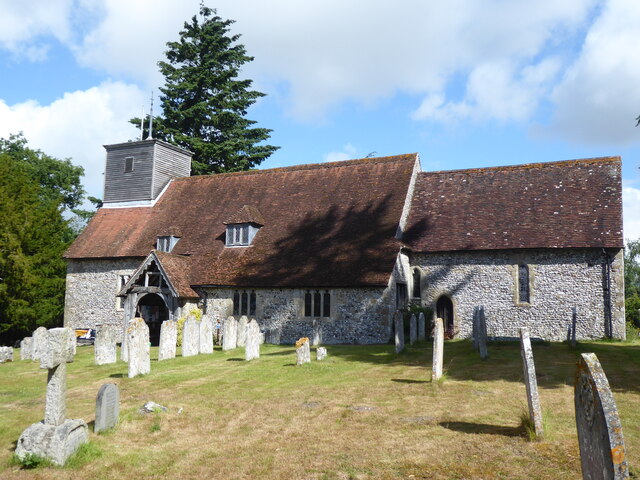
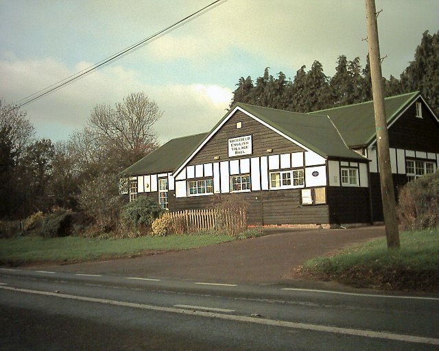
Kitts Merries Copse Images

Images are sourced within 2km of 50.99398/-1.5563649 or Grid Reference SU3121. Thanks to Geograph Open Source API. All images are credited.

Glebe Garage, Sheffield English
Old Milestone by the A27, east of Glebe Farm, Sherfield English parish Stone post (plate lost) by the A27, in parish of SHERFIELD ENGLISH (TEST VALLEY District), East of Glebe Farm, junction with Branches Lane, on the verge, on North side of road. Romsey tombstone marker, erected by the Whiteparish, Romsey & Southampton turnpike trust in the 19th century.

Part inscription reads:-
MILES TO
ROMSEY
Original Inscription once read:-
(Salisbury)
(11)
(Romsey)
(4)

Milestone Society National ID: HA_ROSA04.
Old Milestone by the A27, east of Glebe Farm, Sherfield English parish
Stone post (plate lost) by the A27, in parish of SHERFIELD ENGLISH (TEST VALLEY District), East of Glebe Farm, junction with Branches Lane, on the verge, on North side of road. Romsey tombstone marker, erected by the Whiteparish, Romsey & Southampton turnpike trust in the 19th century. Part inscription reads:- MILES TO ROMSEY Original Inscription once read:- (Salisbury) (11) (Romsey) (4) Milestone Society National ID: HA_ROSA04.
Overflowing ditch in Wellow Drove
Gilbert's Nursery and Tea Room
Beside the A27 at Sherfield English
Sherfield English Village Hall
Patch of sunlight on a misty day at Sherfield English This is the field just across the A27 from <a href="https://www.geograph.org.uk/photo/7662780">SU2922 : Sherfield English Village Hall</a>.
Patch of sunlight on a misty day at Sherfield English
This is the field just across the A27 from SU2922 : Sherfield English Village Hall.
Pond near Sherfield English One of a number if small ponds in this area.
Pond near Sherfield English
One of a number if small ponds in this area.
Hatchet inn Sherfield English
Freshly mown field at Wellow Wood
Yellow and blue tractor detail
A27 towards Salisbury Some way past the sign announcing Sherfield English, so far a diffuse settlement.
A27 towards Salisbury
Some way past the sign announcing Sherfield English, so far a diffuse settlement.
Old Milestone by the A27, east of Glebe Farm, Sherfield English parish Stone post (plate lost) by the A27, in parish of SHERFIELD ENGLISH (TEST VALLEY District), East of Glebe Farm, junction with Branches Lane, on the verge, on North side of road. Romsey tombstone marker, erected by the Whiteparish, Romsey & Southampton turnpike trust in the 19th century. 

Part inscription reads:-
MILES TO
ROMSEY
Original Inscription once read:-
(Salisbury)
(11)
(Romsey)
(4)

Milestone Society National ID: HA_ROSA04.
Old Milestone by the A27, east of Glebe Farm, Sherfield English parish
Stone post (plate lost) by the A27, in parish of SHERFIELD ENGLISH (TEST VALLEY District), East of Glebe Farm, junction with Branches Lane, on the verge, on North side of road. Romsey tombstone marker, erected by the Whiteparish, Romsey & Southampton turnpike trust in the 19th century. Part inscription reads:- MILES TO ROMSEY Original Inscription once read:- (Salisbury) (11) (Romsey) (4) Milestone Society National ID: HA_ROSA04.
New planting between Foxes Lane and Wellow Church Hard to tell what is in the protective tubes as yet: possibly vines? Seen through a new deer fence.
New planting between Foxes Lane and Wellow Church
Hard to tell what is in the protective tubes as yet: possibly vines? Seen through a new deer fence.
Field view from newly-fenced footpath Previously a footpath across an open field, this has recently been fenced in.  For the other side of the path, see <a href="https://www.geograph.org.uk/photo/6542801">SU2920 : New planting between Foxes Lane and Wellow Church</a>.
Field view from newly-fenced footpath
Previously a footpath across an open field, this has recently been fenced in. For the other side of the path, see SU2920 : New planting between Foxes Lane and Wellow Church.
Pigs in field beside Hackleys Lane
East Wellow, St Margaret
Sherfield English Village Hall Situated on the A27 between Romsey & Whiteparish
Sherfield English Village Hall
Situated on the A27 between Romsey & Whiteparish
Show me another place!

Kitts Merries Copse is located at Grid Ref: SU3121 (Lat: 50.99398, Lng: -1.5563649)

Administrative County: Hampshire

District: Test Valley

Police Authority: Hampshire

What 3 Words

///discussed.doll.marmalade. Near West Wellow, Hampshire

Related Wikis

Shootash

Shootash was, before WWI, originally an area consisting of a few farmsteads, woodland and common land which subsequently developed during the 20th century...

Embley, Hampshire

Embley is a small village in the Test Valley district of Hampshire, England in the United Kingdom. Its nearest town is Romsey, which lies approximately...

Embley (school)

Embley School (formerly Hampshire Collegiate School) is an independent day and boarding school for both girls and boys aged 2 to 18 located in Embley Park...

Embley Park

Embley Park, in Wellow (near Romsey, Hampshire), was the family home of Florence Nightingale from 1825 until her death in 1910. It is also where Florence...

Dunwood Camp

Dunwood Camp is the site of an Iron Age hillfort located in Hampshire. It occupies the summit of a sandy hill. It has a single Rampart (fortification)...

Sherfield English

Sherfield English is a small village and civil parish in the Test Valley borough of Hampshire, England. It is located on the A27 road, around 4 miles...

Roke Manor Research

Roke Manor Research Limited is a British company based at Roke Manor near Romsey, Hampshire, which conducts research and development in the fields of communications...

Wellow, Hampshire

Wellow is a village and civil parish in Hampshire, England that falls within the Test Valley district. The village lies just outside the New Forest, across...

Nearby Amenities

Located within 500m of 50.99398,-1.5563649
Shootash Copse
Natural: wood
Place: locality
Lat/Long: 50.9945913/-1.5514957
Access: private
Ele: 79
Man Made: survey_point
Natural: peak
Lat/Long: 50.996258/-1.5538359
Power: pole
Lat/Long: 50.9961758/-1.5544948
Power: pole
Lat/Long: 50.9959248/-1.5552615
Power: pole
Lat/Long: 50.995585/-1.5562069
Power: pole
Lat/Long: 50.996272/-1.5534641
Power: pole
Lat/Long: 50.9973214/-1.5535895
Power: pole
Lat/Long: 50.9977964/-1.5542237
Power: pole
Lat/Long: 50.9982383/-1.5548812
Power: pole
Lat/Long: 50.994731/-1.5576697
Power: pole
Lat/Long: 50.9952285/-1.5571904
Power: pole
Lat/Long: 50.9942322/-1.5581781
The data included in this document is from www.openstreetmap.org. The data is made available under ODbL.

Have you been to Kitts Merries Copse?

Leave your review of Kitts Merries Copse below (or comments, questions and feedback).