Cleves Copse
Wood, Forest in Wiltshire
England
Cleves Copse
The requested URL returned error: 429 Too Many Requests
If you have any feedback on the listing, please let us know in the comments section below.
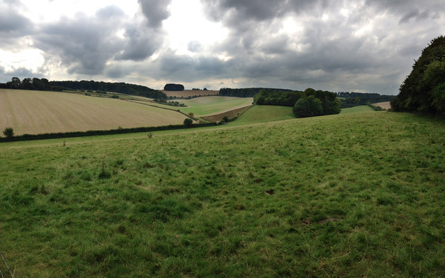
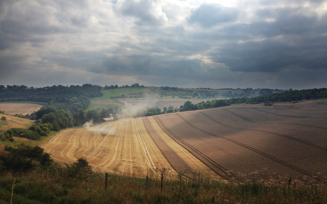
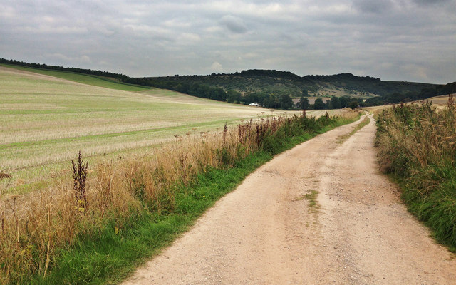
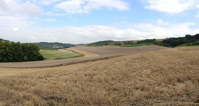
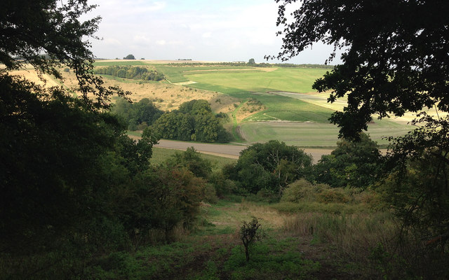
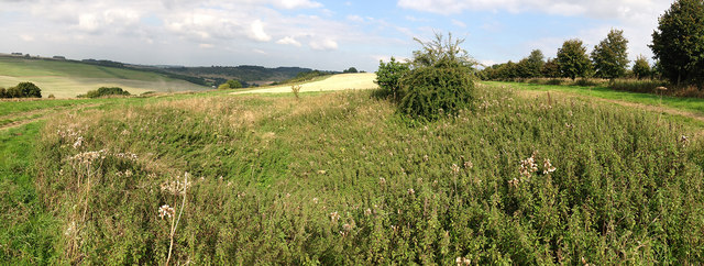
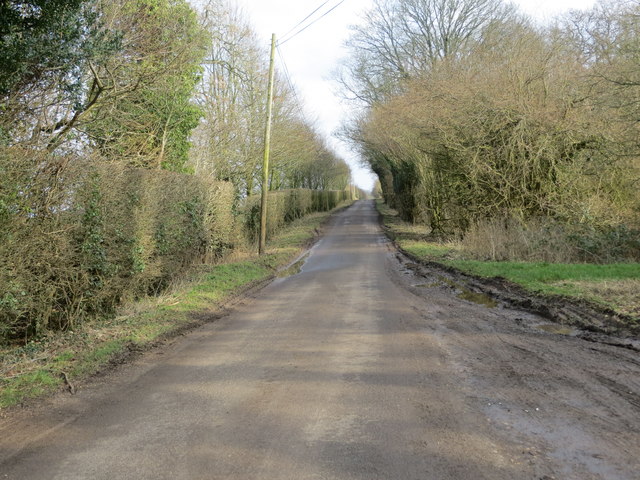
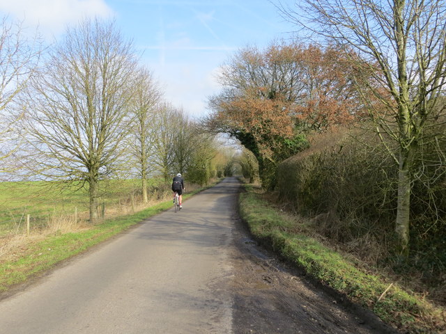
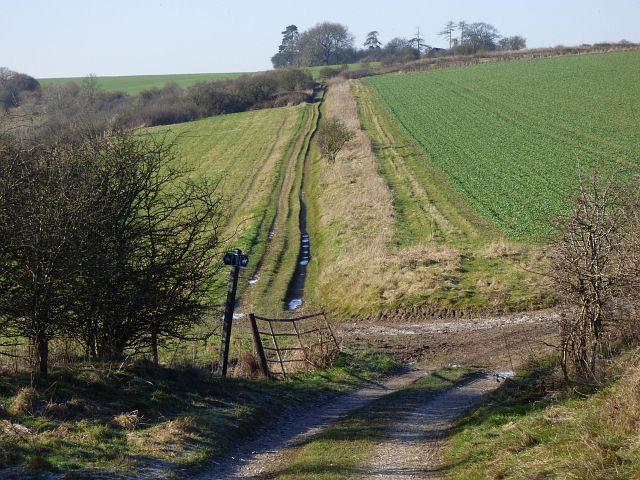
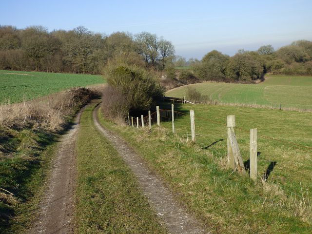
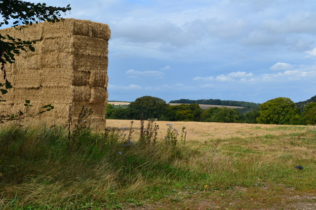
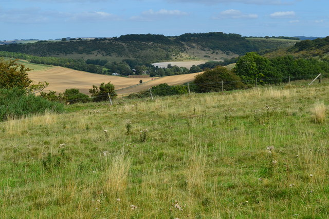
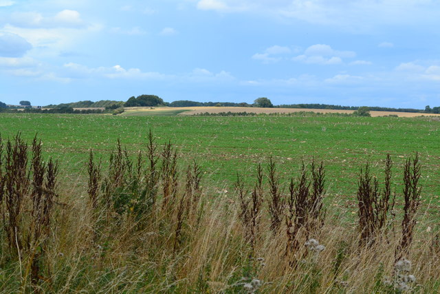
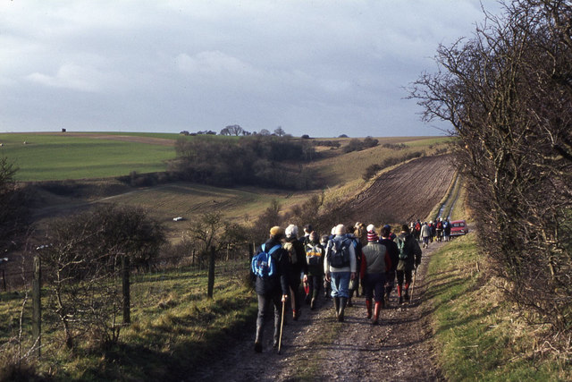
Cleves Copse Images
Images are sourced within 2km of 51.299888/-1.5533956 or Grid Reference SU3155. Thanks to Geograph Open Source API. All images are credited.


Cleves Copse is located at Grid Ref: SU3155 (Lat: 51.299888, Lng: -1.5533956)
Unitary Authority: Wiltshire
Police Authority: Wiltshire
What 3 Words
///flipping.animates.doors. Near Ludgershall, Wiltshire
Nearby Locations
Related Wikis

Hippenscombe
Hippenscombe is a hamlet within the civil parish of Tidcombe and Fosbury, Wiltshire, in the southwest of England. Marked only on large-scale maps, it lies...
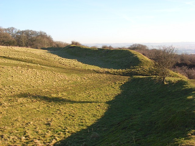
Fosbury Camp
Fosbury Camp, is the site of an Iron Age bivallate hillfort located in Wiltshire. The site is oval in shape, and approximately 26 acres in areaThe site...

Conholt
Conholt was a small village in east Wiltshire, England, close to the Hampshire border and about 6 miles (10 km) northeast of Andover. It is now the site...

Bevisbury
Bevisbury is the site of a former Iron Age plateau fort in Hampshire, England. The fort lies on a chalk ridge and is of a single bank and ditch construction...
Nearby Amenities
Located within 500m of 51.299888,-1.5533956Have you been to Cleves Copse?
Leave your review of Cleves Copse below (or comments, questions and feedback).