Brick Kiln Wood

Wood, Forest in Yorkshire Harrogate

England

Brick Kiln Wood

A field, Greenwich Farm, Brearton
A field, Greenwich Farm, Brearton Credit: habiloid

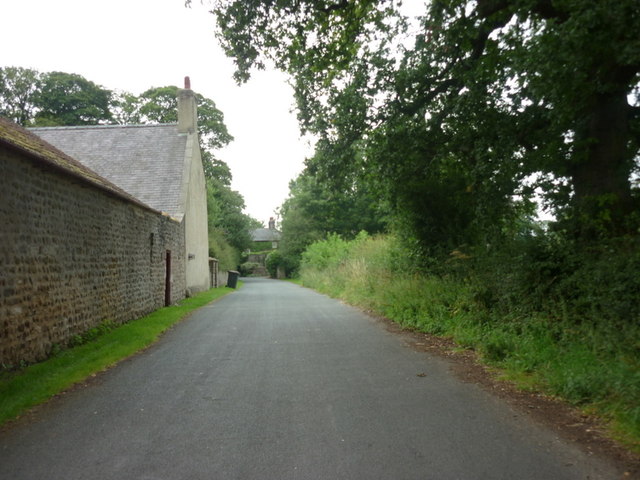
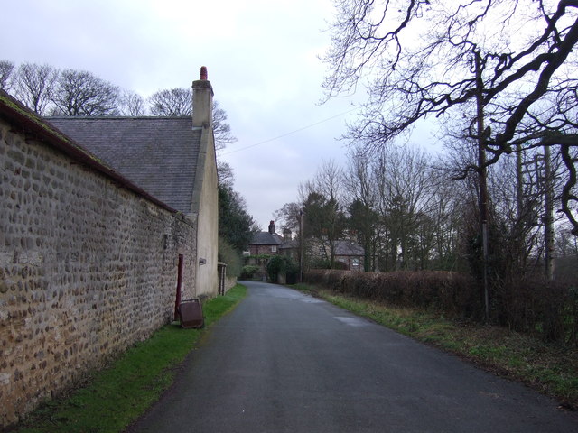
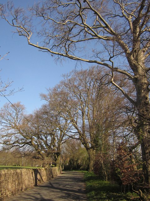
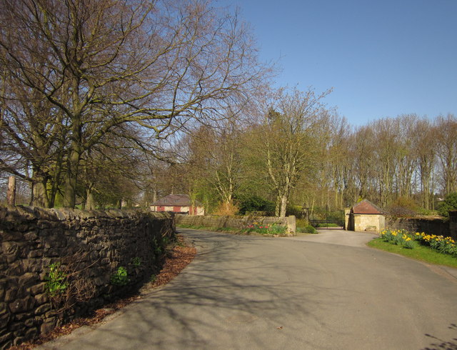
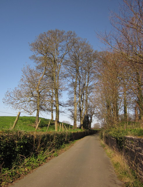
Brick Kiln Wood is a picturesque forest located in Yorkshire, England. Covering an area of approximately 100 acres, this woodland is characterized by its dense and lush vegetation, providing a tranquil and serene atmosphere for nature enthusiasts and visitors alike.

The wood is primarily composed of a variety of deciduous trees such as oak, birch, and beech, which create a vibrant canopy throughout the forest. These trees provide a habitat for a diverse range of wildlife, including squirrels, foxes, and various bird species, making it a popular destination for birdwatchers and wildlife photographers.

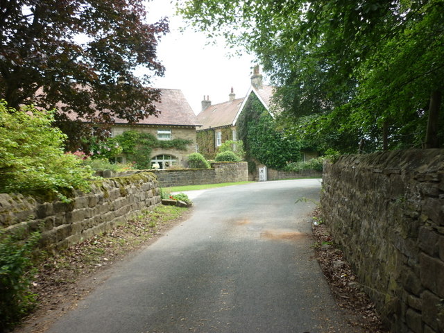
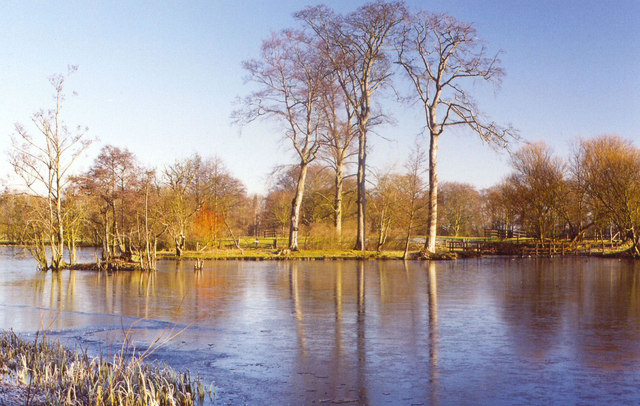
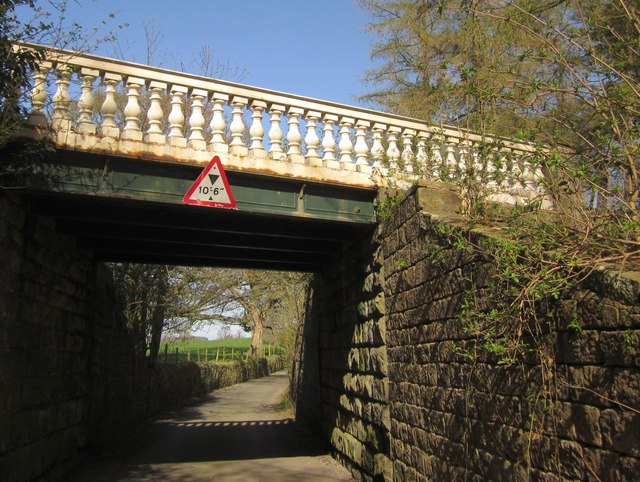
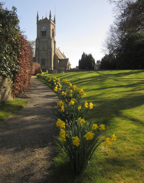
The forest is crisscrossed by a network of well-maintained footpaths, allowing visitors to explore the wood at their own pace. These trails lead to various points of interest within the forest, including a scenic pond and a small stream that meanders through the woodland. The presence of these water features adds to the overall charm of the wood, creating a soothing ambiance.

Brick Kiln Wood is particularly beautiful during the autumn season when the foliage transforms into a kaleidoscope of vibrant colors. This natural spectacle draws in many visitors who come to witness the breathtaking scenery and capture stunning photographs.

The wood is managed by the local authorities, who ensure its preservation and upkeep. They have also installed informative signage throughout the forest, providing visitors with interesting facts about the flora and fauna found in the area.

Overall, Brick Kiln Wood is a haven for nature lovers, offering a peaceful retreat from the bustling city life. Its natural beauty, diverse wildlife, and well-maintained trails make it a must-visit destination for those seeking solace in the heart of Yorkshire.

If you have any feedback on the listing, please let us know in the comments section below.

Brick Kiln Wood Images

Images are sourced within 2km of 54.02716/-1.5287894 or Grid Reference SE3059. Thanks to Geograph Open Source API. All images are credited.

A field, Greenwich Farm, Brearton
High Moor Lane seen from the road leading out of Brearton
Woolwich Cottages, High Moor Lane, Brearton
The road leading into Brearton
Brearton, Greenwich Farm The benchmark is cut into a right hand cornerstone of the roadside outbuilding on the south west face.
Brearton, Greenwich Farm
The benchmark is cut into a right hand cornerstone of the roadside outbuilding on the south west face.
Brearton, Greenwich Farm There is a benchmark cut into a right hand cornerstone of the roadside outbuilding on the south west face.
Brearton, Greenwich Farm
There is a benchmark cut into a right hand cornerstone of the roadside outbuilding on the south west face.
Grange Farm on Highmoor Lane
Highmoor Lane at Woolwich Cottages
Town Street, Nidd, North Yorkshire
Home Farm, Town Street, Nidd
Lake at Nidd Hall
Lake at Nidd Hall
Parish church of St Paul & St Margaret, Nidd
Town Street, Nidd
Town Street, Nidd
Bridge, Nidd Hall The ornamental bridge also features at <a title="https://www.geograph.org.uk/search.php?i=30160879" href="https://www.geograph.org.uk/search.php?i=30160879">Link</a> . It's crossing the road that links the part of the village of Nidd on the B6165 with the church and the hall itself.
Bridge, Nidd Hall
The ornamental bridge also features at Link . It's crossing the road that links the part of the village of Nidd on the B6165 with the church and the hall itself.
Path to the church, Nidd Daffodils beside the path to the Victorian church (described at <span class="nowrap"><a title="http://www.britishlistedbuildings.co.uk/en-331558-church-of-st-paul-and-st-margaret-nidd" rel="nofollow ugc noopener" href="http://www.britishlistedbuildings.co.uk/en-331558-church-of-st-paul-and-st-margaret-nidd">Link</a><img style="margin-left:2px;" alt="External link" title="External link - shift click to open in new window" src="https://s1.geograph.org.uk/img/external.png" width="10" height="10"/></span> ), also shown at <a title="https://www.geograph.org.uk/gridref/SE3060?centi=SE301608" href="https://www.geograph.org.uk/gridref/SE3060?centi=SE301608">Link</a> .
Path to the church, Nidd
Daffodils beside the path to the Victorian church (described at LinkExternal link ), also shown at Link .
Town Street, Nidd A little further along <a href="https://www.geograph.org.uk/photo/2920281">SE3059 : Town Street, Nidd</a>, and taken more or less on the northing gridline referred to. Beeches line this stretch of the lane.
Town Street, Nidd
A little further along SE3059 : Town Street, Nidd, and taken more or less on the northing gridline referred to. Beeches line this stretch of the lane.
By Home Farm, Nidd Town Street (see <a href="https://www.geograph.org.uk/photo/2920298">SE3060 : Town Street, Nidd</a>) passes Home Farm and Nidd Park House off to the right, about a third of the way between the two parts of Nidd.
By Home Farm, Nidd
Town Street (see SE3060 : Town Street, Nidd) passes Home Farm and Nidd Park House off to the right, about a third of the way between the two parts of Nidd.
Town Street, Nidd A little north of <a href="https://www.geograph.org.uk/photo/2889138">SE3060 : Bridge, Nidd Hall</a>, the lane passes a small clump of trees that form part of the landscaped grounds of Nidd Hall, which is off to the right.
Town Street, Nidd
A little north of SE3060 : Bridge, Nidd Hall, the lane passes a small clump of trees that form part of the landscaped grounds of Nidd Hall, which is off to the right.
Show me another place!

Brick Kiln Wood is located at Grid Ref: SE3059 (Lat: 54.02716, Lng: -1.5287894)

Division: West Riding

Administrative County: North Yorkshire

District: Harrogate

Police Authority: North Yorkshire

What 3 Words

///sketch.maddening.inflation. Near Harrogate, North Yorkshire

Related Wikis

Nidd

Nidd is a small village and civil parish in the Harrogate district of North Yorkshire, England. The population of the village taken at the 2011 census...

Oak Beck

Oak Beck is a watercourse that flows eastwards across the northern part of Harrogate in North Yorkshire, England. The beck flows through a broad V-shaped...

Nidderdale Greenway

The Nidderdale Greenway is a 4-mile (6.4 km) path that runs between Harrogate and Ripley in North Yorkshire, England. It uses a former railway line that...

Nidd Bridge railway station

Nidd Bridge railway station served the village of Nidd, North Yorkshire, England from 1848 to 1964 on the Leeds-Northallerton Railway. == History == The...

Scotton, Harrogate

Scotton is a small village and civil parish in the Harrogate district of North Yorkshire, England with a population of 524 in the 2001 census, increasing...

Harrogate Gasworks Railway

Harrogate Gasworks Railway was an industrial railway in the town of Harrogate, North Yorkshire, England. It was built to the gauge of 2 ft and ran between...

Nidd Hall

Nidd Hall was a 19th-century country house, now a hotel, in the village of Nidd, North Yorkshire, England. It is a Grade II listed building. It is constructed...

Red Cat Cottage

The Red Cat Cottage (formerly Red Cat Inn), a Grade II listed building, is now a residence that sits at the top of Bachelor Gardens in Bilton, a district...

Nearby Amenities

Located within 500m of 54.02716,-1.5287894
The data included in this document is from www.openstreetmap.org. The data is made available under ODbL.

Have you been to Brick Kiln Wood?

Leave your review of Brick Kiln Wood below (or comments, questions and feedback).