Coronation Wood
Wood, Forest in Yorkshire Harrogate
England
Coronation Wood

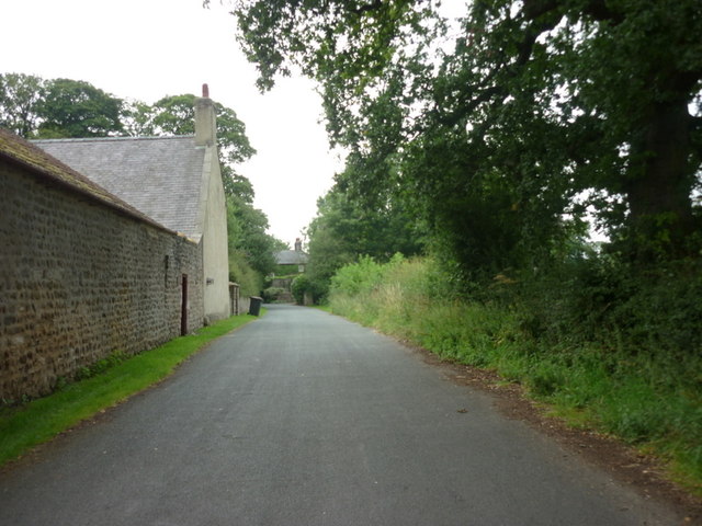
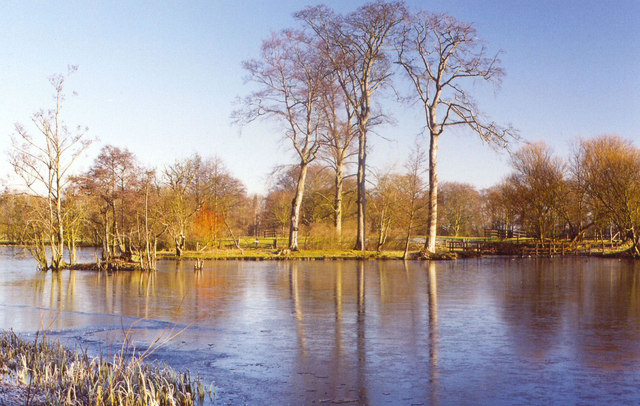
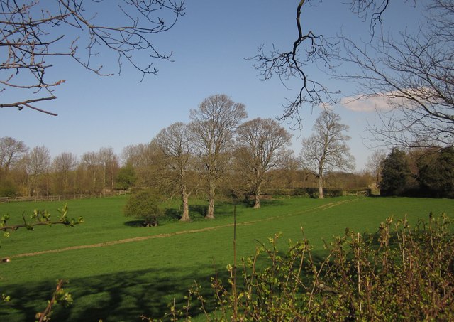
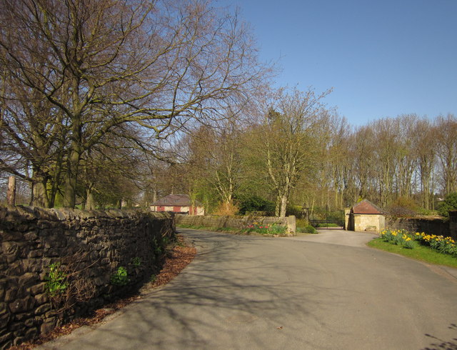
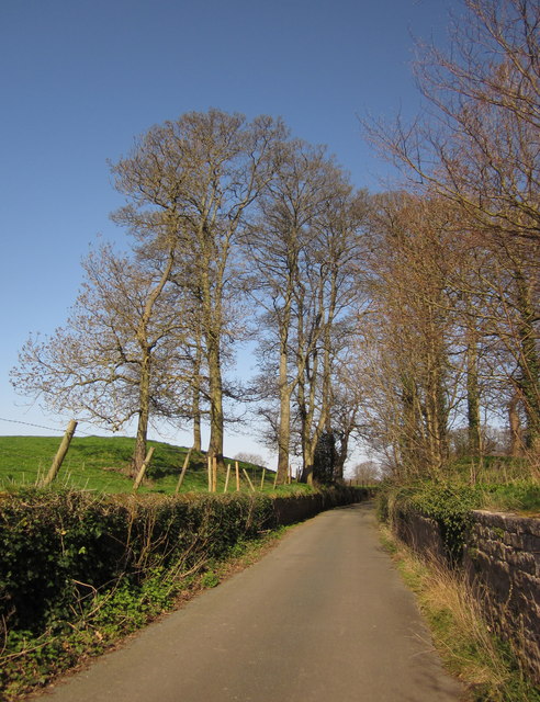
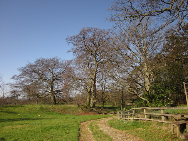
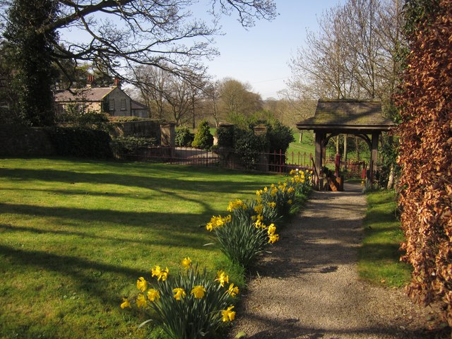
Coronation Wood, located in Yorkshire, England, is a picturesque woodland area renowned for its natural beauty and historical significance. Covering an expansive area, the wood is situated on the outskirts of a small village, surrounded by rolling hills and idyllic countryside.
The wood boasts a diverse range of tree species, including oak, birch, and beech, creating a rich and vibrant ecosystem. Visitors can stroll along well-maintained paths that wind through the forest, immersing themselves in the tranquility of nature. The dense canopy provides shade during the summer months, while the vibrant autumn colors make it a popular destination for foliage enthusiasts.
Aside from its natural allure, Coronation Wood holds historical significance. It was designated as a memorial woodland to commemorate the coronation of Queen Elizabeth II in 1953. Planted with the help of local volunteers, the wood stands as a testament to the community's pride and dedication.
The woodland is not only a haven for nature enthusiasts but also a habitat for various wildlife species. Birds such as woodpeckers and song thrushes can be spotted, while small mammals like squirrels and rabbits dart through the undergrowth.
Coronation Wood is a cherished natural gem in Yorkshire, offering visitors the opportunity to escape the hustle and bustle of everyday life and reconnect with nature. Whether it's a leisurely walk, birdwatching, or simply enjoying the peaceful ambiance, this woodland retreat is a must-visit for anyone seeking solace in the beauty of the outdoors.
If you have any feedback on the listing, please let us know in the comments section below.
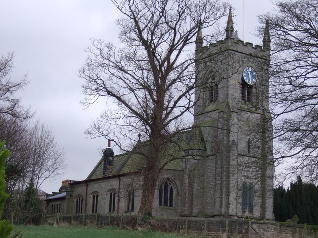
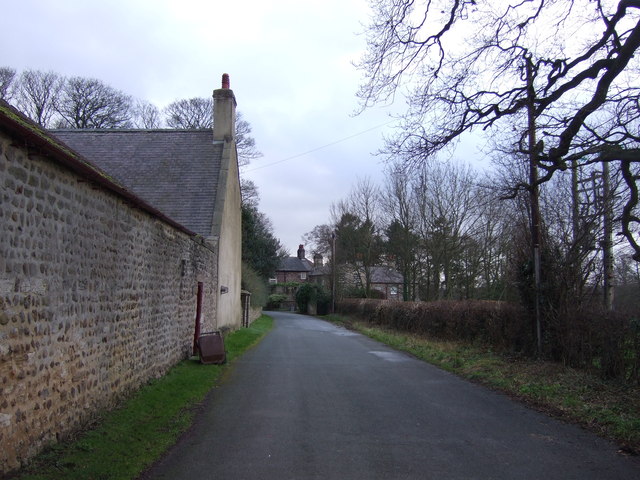
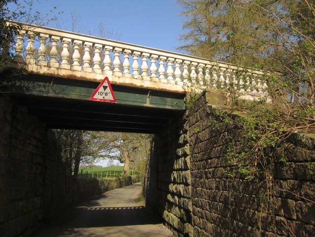
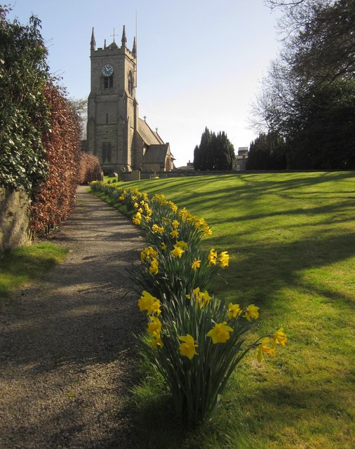
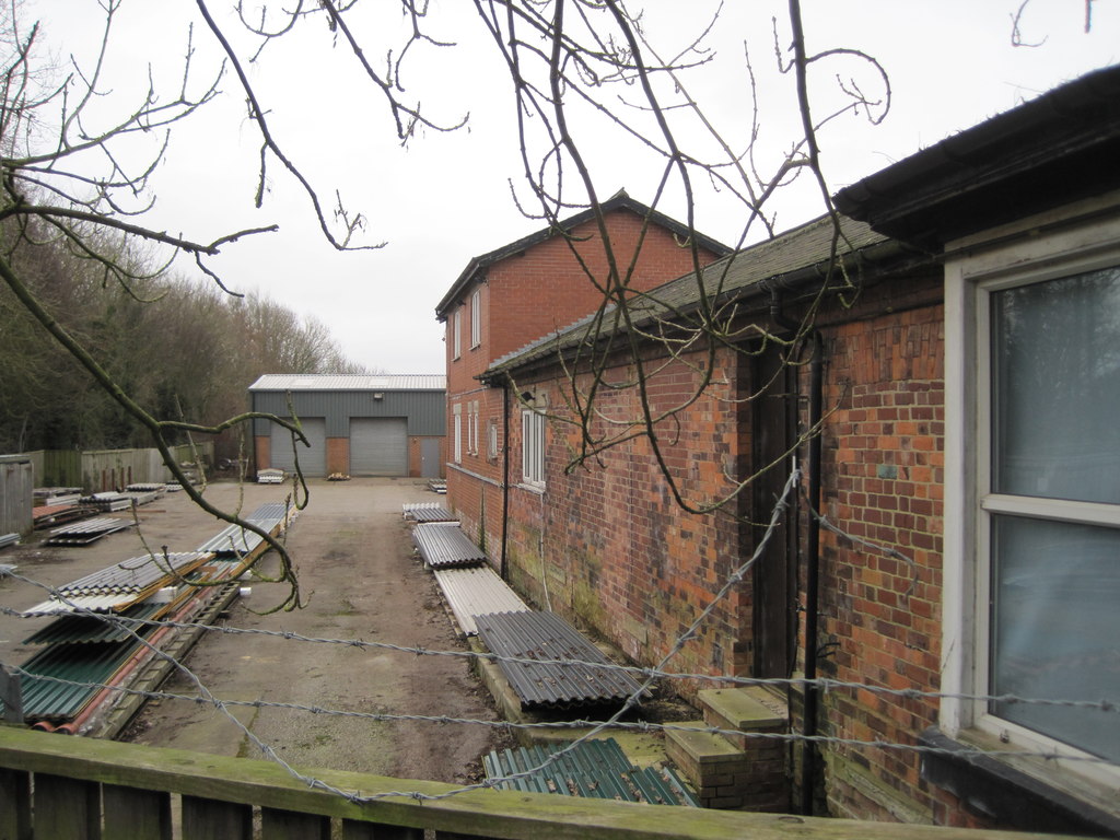
Coronation Wood Images
Images are sourced within 2km of 54.027692/-1.5433924 or Grid Reference SE3059. Thanks to Geograph Open Source API. All images are credited.

Coronation Wood is located at Grid Ref: SE3059 (Lat: 54.027692, Lng: -1.5433924)
Division: West Riding
Administrative County: North Yorkshire
District: Harrogate
Police Authority: North Yorkshire
What 3 Words
///operation.farmland.motor. Near Harrogate, North Yorkshire
Nearby Locations
Related Wikis

Nidderdale Greenway
The Nidderdale Greenway is a 4-mile (6.4 km) path that runs between Harrogate and Ripley in North Yorkshire, England. It uses a former railway line that...
Nidd Bridge railway station
Nidd Bridge railway station served the village of Nidd, North Yorkshire, England from 1848 to 1964 on the Leeds-Northallerton Railway. == History == The...

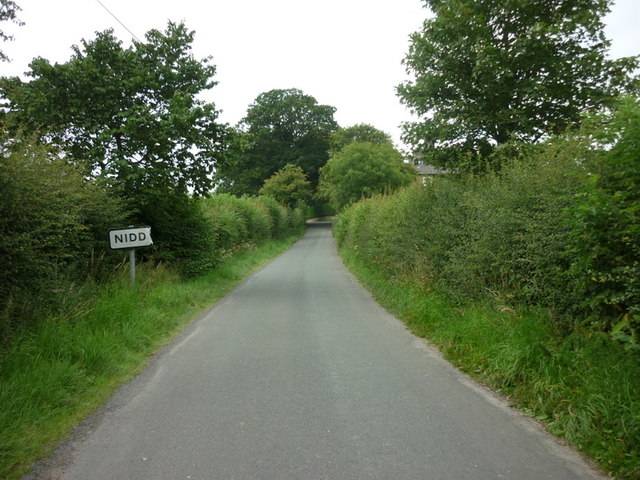
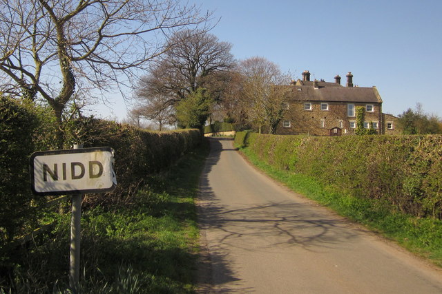
Nidd
Nidd is a small village and civil parish in the Harrogate district of North Yorkshire, England. The population of the village taken at the 2011 census...

Oak Beck
Oak Beck is a watercourse that flows eastwards across the northern part of Harrogate in North Yorkshire, England. The beck flows through a broad V-shaped...

Killinghall
Killinghall is a village and civil parish in the Harrogate district of North Yorkshire, England. The civil parish population taken at the 2011 census was...

Harrogate Gasworks Railway
Harrogate Gasworks Railway was an industrial railway in the town of Harrogate, North Yorkshire, England. It was built to the gauge of 2 ft and ran between...
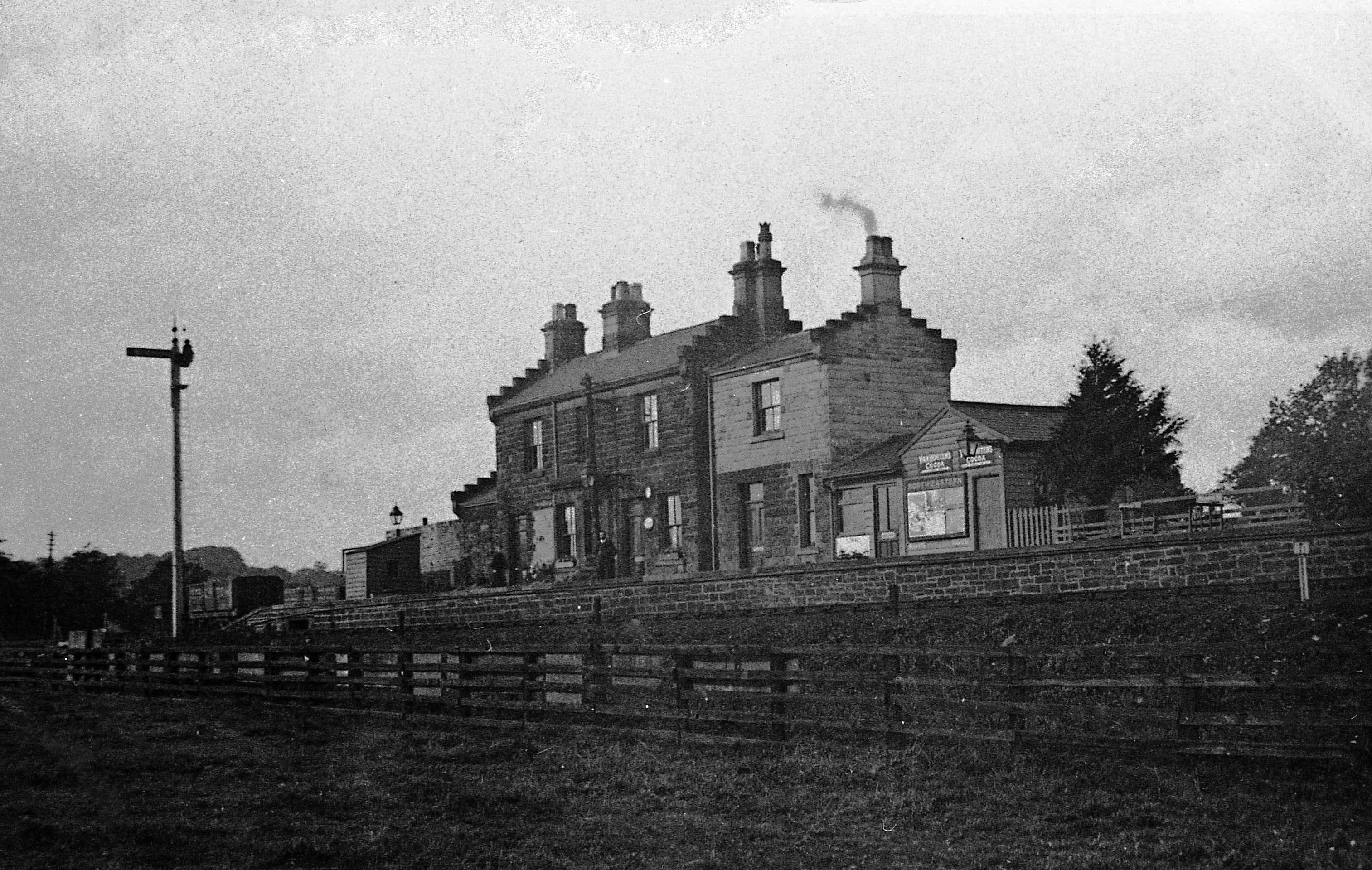
Ripley Valley railway station
Ripley Valley railway station served the villages of Killinghall and Ripley, North Yorkshire, England from 1862 to 1951 on the Nidd Valley Railway. �...

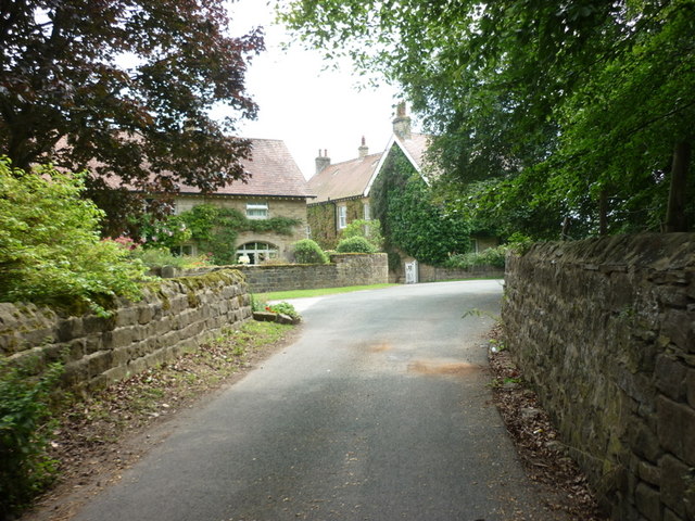
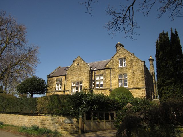
Nidd Hall
Nidd Hall was a 19th-century country house, now a hotel, in the village of Nidd, North Yorkshire, England. It is a Grade II listed building. It is constructed...
Nearby Amenities
Located within 500m of 54.027692,-1.5433924Have you been to Coronation Wood?
Leave your review of Coronation Wood below (or comments, questions and feedback).