Bole Hill Plantation

Wood, Forest in Yorkshire

England

Bole Hill Plantation

The Round House, Ringinglow People correctly  assume that this curious building was a toll house on the Sheffield-Buxton turnpike road that came into being in the middle of the eighteenth century. However, before that it was a farm and by 1785 it had become an inn under the instructions of Lord John Murray of Banner Cross who drove the turnpike project and was a significant landowner in the local region.
The Round House, Ringinglow Credit: Neil Theasby

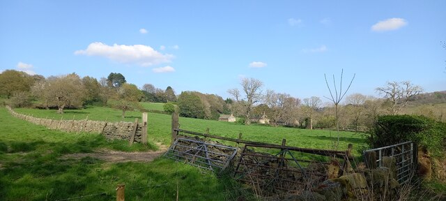
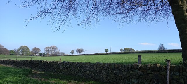
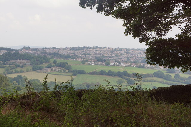
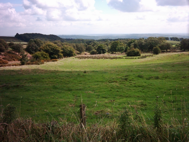
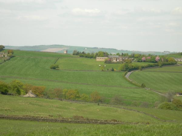
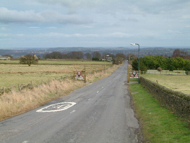
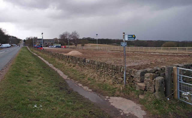
Bole Hill Plantation is a picturesque woodland area located in Yorkshire, England. Spanning over a vast expanse, the plantation is renowned for its stunning natural beauty, making it a popular destination for nature enthusiasts and visitors seeking tranquility amidst the lush greenery.

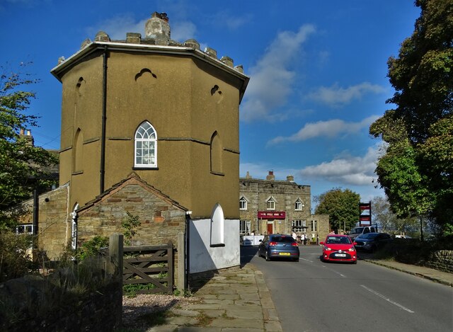
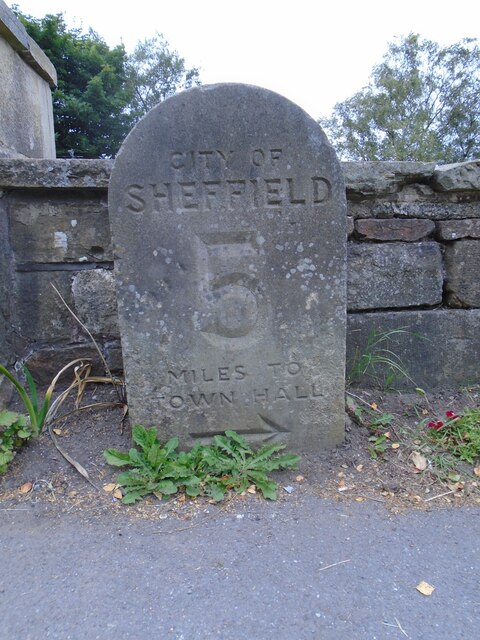
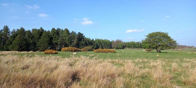
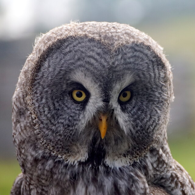
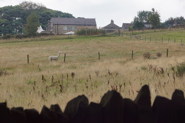
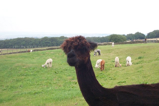
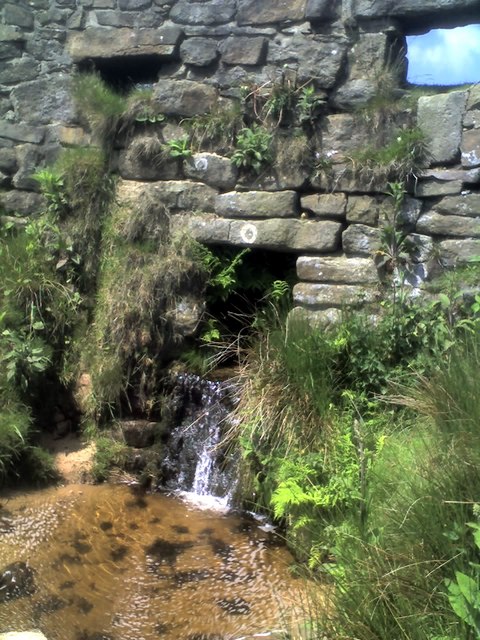
Situated on the outskirts of Sheffield, Bole Hill Plantation is characterized by its dense forest and a variety of tree species, including oak, beech, and birch. The woodland is incredibly diverse, boasting a rich ecosystem that supports a wide array of flora and fauna. Visitors can expect to encounter various bird species, such as woodpeckers and songbirds, as well as small mammals like squirrels and foxes.

The plantation offers several well-maintained trails that wind through the woodland, providing visitors with the opportunity to explore the area's natural wonders. These paths are suitable for walkers of all abilities and offer breathtaking views of the surrounding countryside. Additionally, Bole Hill Plantation is equipped with picnic areas and benches, allowing visitors to relax and enjoy a picnic amidst the serene environment.

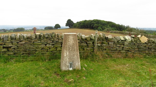
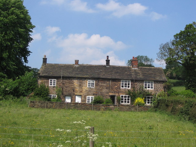
History enthusiasts will find interest in the fact that Bole Hill Plantation holds historical significance. It was once used as a hunting ground for the aristocracy in the 19th century, and remnants of this era can still be seen today, including old stone walls and deer stands.

Overall, Bole Hill Plantation is a captivating woodland retreat that offers a peaceful escape from the bustling city life. Its natural beauty, diverse wildlife, and historical charm make it a must-visit destination for anyone seeking to immerse themselves in the enchanting Yorkshire countryside.

If you have any feedback on the listing, please let us know in the comments section below.

Bole Hill Plantation Images

Images are sourced within 2km of 53.346116/-1.5432824 or Grid Reference SK3083. Thanks to Geograph Open Source API. All images are credited.

The Round House, Ringinglow People correctly  assume that this curious building was a toll house on the Sheffield-Buxton turnpike road that came into being in the middle of the eighteenth century. However, before that it was a farm and by 1785 it had become an inn under the instructions of Lord John Murray of Banner Cross who drove the turnpike project and was a significant landowner in the local region.
The Round House, Ringinglow
People correctly assume that this curious building was a toll house on the Sheffield-Buxton turnpike road that came into being in the middle of the eighteenth century. However, before that it was a farm and by 1785 it had become an inn under the instructions of Lord John Murray of Banner Cross who drove the turnpike project and was a significant landowner in the local region.
Trig Point above Firs Farm near Ringinglow
Old milestone At Ringinglow near the entrance to the Norfolk Arms PH car-park on the north side of the road is the 5 miles from Sheffield stone on the route of the Sheffield to Chapel-en-Le Frith of 1758.
Clearly a replacement as it is unlike the other stones on this route.  Sheffield Town Hall was built in the 1890s so perhaps this stone dates from the late 19C or early 20C.
Old milestone
At Ringinglow near the entrance to the Norfolk Arms PH car-park on the north side of the road is the 5 miles from Sheffield stone on the route of the Sheffield to Chapel-en-Le Frith of 1758. Clearly a replacement as it is unlike the other stones on this route. Sheffield Town Hall was built in the 1890s so perhaps this stone dates from the late 19C or early 20C.
Carr Houses, Fulwood
Fields beside Hangram Lane
Fields at Long Line, Dore
Captive Harvest Mouse at Mayfield Alpacas, Ringinglow
Captive Great Grey Owl, Mayfield Alpacas, Ringinglow
View to Fulwood from Ringinglow
Mayfield Alpacas, Ringinglow
Ringinglow Road Ringinglow Road passing the Norfolk Arms
Ringinglow Road
Ringinglow Road passing the Norfolk Arms
Limb Valley and Copperas House. A popular spot, Copperas House is a ruin in the trees in the middle of the picture.
Limb Valley and Copperas House.
A popular spot, Copperas House is a ruin in the trees in the middle of the picture.
View over lodge moor Looking over to the old hospital
View over lodge moor
Looking over to the old hospital
Long Line. The road with the unusual name of Long Line disappearing into the distance.
Long Line.
The road with the unusual name of Long Line disappearing into the distance.
An Alpaca A resident of Mayfield Alpacas <span class="nowrap"><a title="http://www.mayfieldalpacas.com" rel="nofollow ugc noopener" href="http://www.mayfieldalpacas.com">Link</a><img style="margin-left:2px;" alt="External link" title="External link - shift click to open in new window" src="https://s1.geograph.org.uk/img/external.png" width="10" height="10"/></span>  poses for the camera wielded by my young son Daniel, aged 6.
An Alpaca
A resident of Mayfield Alpacas LinkExternal link poses for the camera wielded by my young son Daniel, aged 6.
Cottages in Mayfield Valley These are typical of local stone cottages
Cottages in Mayfield Valley
These are typical of local stone cottages
The Bridge on Houndkirk Moor A small bridge on Houndkirk Moor with the river following through it on a warm summer's afternoon
The Bridge on Houndkirk Moor
A small bridge on Houndkirk Moor with the river following through it on a warm summer's afternoon
Footpath off Ringinglow Road
Show me another place!

Bole Hill Plantation is located at Grid Ref: SK3083 (Lat: 53.346116, Lng: -1.5432824)

Division: West Riding

Unitary Authority: Sheffield

Police Authority: South Yorkshire

What 3 Words

///aspect.locker.bliss. Near Dronfield, Derbyshire

Related Wikis

Whirlow Brook Park

Whirlow Brook Park is a landscaped garden of 39 acres in Whirlow, Sheffield, which are open to the public, containing Whirlow Brook Hall. It stretches...

Whirlow Hall Farm

Whirlow Hall Farm is a working farm situated on Broad Elms Lane at Whirlow in the City of Sheffield, England. Since 1979 it has been the site of the Whirlow...

Whinfell Quarry Garden

Whinfell Quarry Garden is an early 20th century ornamental garden in Whirlow, Sheffield, built in an old quarry, containing rare trees and including a...

Silverdale School

Silverdale School is a coeducational secondary school and sixth form with academy status, in Sheffield, South Yorkshire, England. It is the founding school...

Nearby Amenities

Located within 500m of 53.346116,-1.5432824
Bench
Lat/Long: 53.3462383/-1.5424936
Barrier: stile
Lat/Long: 53.347063/-1.542347
Barrier: stile
Foot: designated
Lat/Long: 53.3493579/-1.5440056
Barrier: stile
Foot: designated
Lat/Long: 53.3504724/-1.5443498
Barrier: stile
Foot: designated
Lat/Long: 53.3466718/-1.5425089
Barrier: stile
Lat/Long: 53.3452444/-1.5489273
Information: guidepost
Operator: Peak & Northern Footpaths Society
Ref: 475
Source: survey;gps
Tourism: information
Lat/Long: 53.3450607/-1.5413953
Information: guidepost
Operator: Peak & Northern Footpaths Society
Ref: 476
Source: survey;gps
Tourism: information
Lat/Long: 53.3453362/-1.5421382
Information: guidepost
Operator: Peak & Northern Footpaths Society
Ref: 477
Source: survey;gps
Tourism: information
Lat/Long: 53.3472544/-1.5503431
Barrier: stile
Dog Gate: yes
Lat/Long: 53.3465473/-1.5375571
Leisure: picnic_table
Lat/Long: 53.3450543/-1.5413015
Bench
Backrest: no
Source: survey;gps
Lat/Long: 53.3460441/-1.5444937
Bench
Backrest: no
Source: survey;gps
Lat/Long: 53.3455979/-1.5433306
Bench
Backrest: no
Source: survey;gps
Lat/Long: 53.3452411/-1.5418277
Barrier: stile
Lat/Long: 53.3478435/-1.5421834
Information: guidepost
Operator: Peak & Northern Footpaths Society
Ref: 485
Source: survey;gps
Tourism: information
Lat/Long: 53.3450965/-1.548117
Information: guidepost
Operator: Peak & Northern Footpaths Society
Ref: 480
Source: survey;gps
Tourism: information
Lat/Long: 53.3444361/-1.5462852
Waterway: weir
Lat/Long: 53.3430786/-1.5383819
Barrier: stile
Foot: designated
Lat/Long: 53.3472456/-1.5434058
Entrance: yes
Lat/Long: 53.3466514/-1.5375143
Communication Mobile Phone: yes
Man Made: mast
Tower Type: communication
Lat/Long: 53.3468405/-1.538282
Bench
Backrest: yes
Lat/Long: 53.3420076/-1.5404106
The data included in this document is from www.openstreetmap.org. The data is made available under ODbL.

Have you been to Bole Hill Plantation?

Leave your review of Bole Hill Plantation below (or comments, questions and feedback).