Knightley's Coppice
Wood, Forest in Warwickshire Stratford-on-Avon
England
Knightley's Coppice

Knightley's Coppice is a picturesque woodland located in the heart of Warwickshire, England. Covering an area of approximately 100 acres, it is a haven for nature enthusiasts and those seeking tranquility in the great outdoors.
The coppice is characterized by a mix of broadleaf trees, including oak, ash, and beech, which provide a beautiful canopy of foliage throughout the year. The forest floor is adorned with a diverse array of wildflowers, such as bluebells and primroses, creating a vibrant and colorful landscape.
The woodland is home to a variety of wildlife, making it a popular spot for birdwatchers and animal lovers. Visitors can expect to spot species such as woodpeckers, owls, and deer, as well as a multitude of smaller creatures like squirrels and rabbits.
Knightley's Coppice offers a network of well-maintained trails and paths, allowing visitors to explore the woodland at their own pace. The paths wind through the forest, leading to secluded clearings and viewpoints that offer breathtaking vistas of the surrounding countryside.
Aside from its natural beauty, the coppice also has a rich historical significance. It is believed that the woodland has been present for centuries, with evidence of human activity dating back to medieval times. The area was once used for charcoal production and timber harvesting, and remnants of these practices can still be seen today.
Overall, Knightley's Coppice is a hidden gem in Warwickshire, offering a peaceful retreat for nature lovers and a glimpse into the region's rich natural and historical heritage.
If you have any feedback on the listing, please let us know in the comments section below.
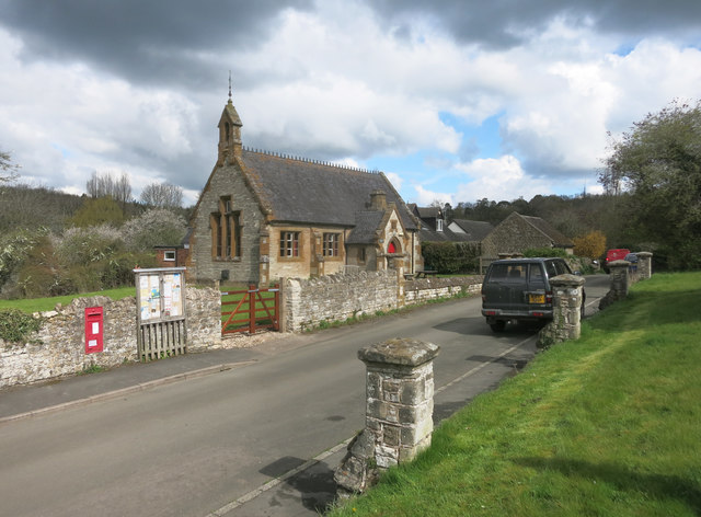
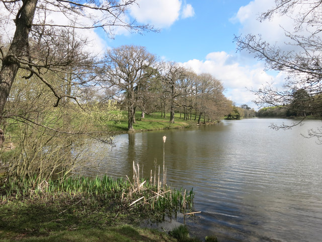
Knightley's Coppice Images
Images are sourced within 2km of 52.164972/-1.5554939 or Grid Reference SP3051. Thanks to Geograph Open Source API. All images are credited.


Knightley's Coppice is located at Grid Ref: SP3051 (Lat: 52.164972, Lng: -1.5554939)
Administrative County: Warwickshire
District: Stratford-on-Avon
Police Authority: Warwickshire
What 3 Words
///distilled.bossy.ideal. Near Kineton, Warwickshire
Nearby Locations
Related Wikis

Compton Verney Art Gallery
Compton Verney Art Gallery is an art gallery at Compton Verney, England. It is housed in Compton Verney House, a restored Grade I listed 18th-century mansion...
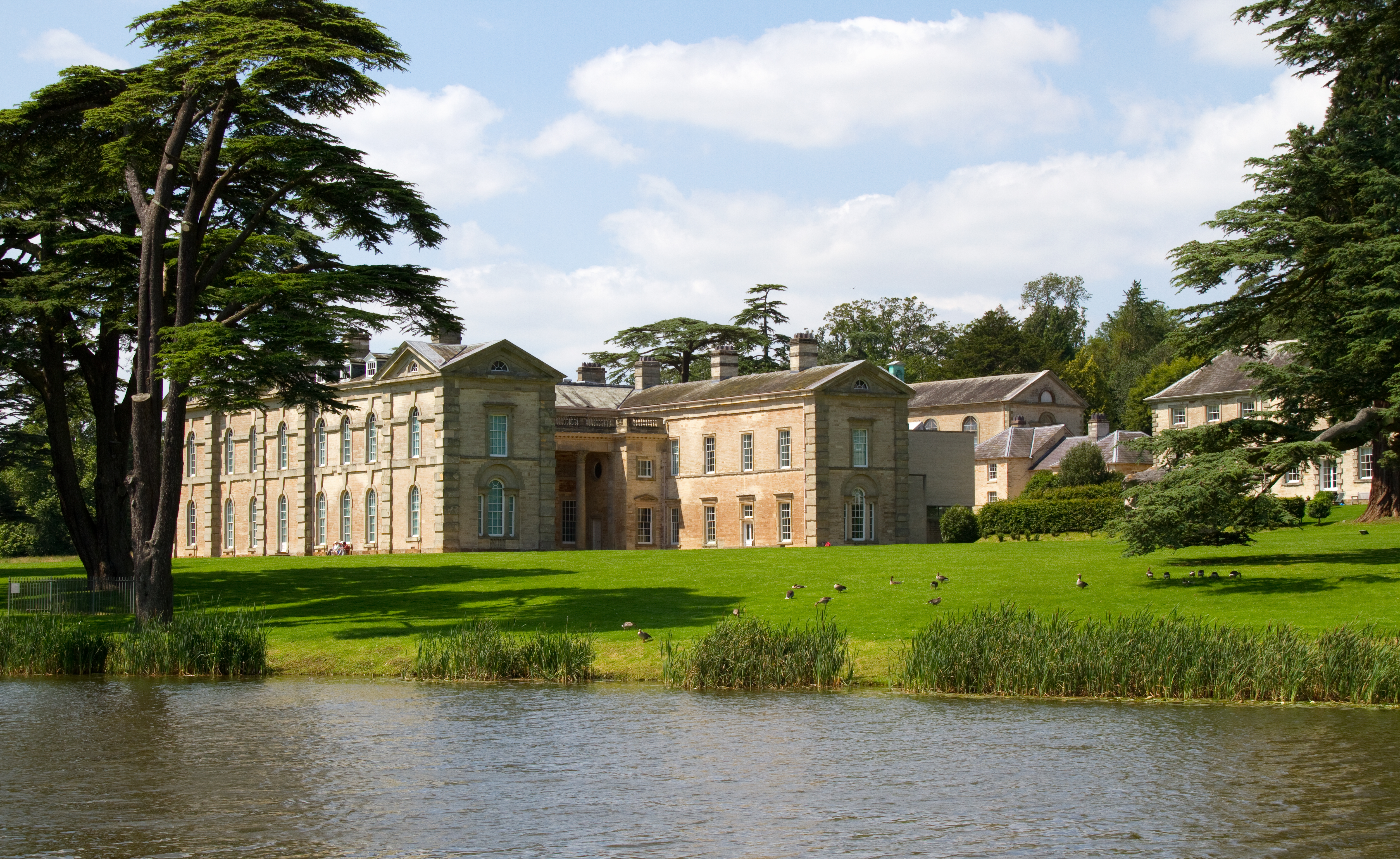
Compton Verney House
Compton Verney House (grid reference SP312529) is an 18th-century country mansion at Compton Verney near Kineton in Warwickshire, England. It is located...

Compton Verney
Compton Verney is a parish and historic manor in the county of Warwickshire, England. The population taken at the 2011 census was 119. The surviving manor...

Bath House, Warwickshire
The Bath House was built in 1748 for Sir Charles Mordaunt of the nearby Walton Hall mansion, near Stratford-upon-Avon in Warwickshire, England. It is listed...

Combrook
Combrook (also spelt Combroke and - more rarely - Combrooke) is a small village of about 65 houses in rural Warwickshire, located near the junction of...

Walton Hall, Warwickshire
Walton Hall is a 16th-century country mansion at Walton, near Wellesbourne, Warwickshire, once owned by Lord Field and the entertainer Danny La Rue, now...
Butlers Marston
Butlers Marston is a village and civil parish on the River Dene in south-eastern Warwickshire, England. The village is part of Stratford-on-Avon district...
Walton, Warwickshire
Walton or Walton d'Eiville is a small hamlet just south of Wellesbourne in the civil parish of Wellesbourne and Walton, in the Stratford-on-Avon District...
Nearby Amenities
Located within 500m of 52.164972,-1.5554939Have you been to Knightley's Coppice?
Leave your review of Knightley's Coppice below (or comments, questions and feedback).