Glasshouse Spinney

Wood, Forest in Warwickshire Warwick

England

Glasshouse Spinney

The War Memorial at the entrance to Abbey Fields, Kenilworth
The War Memorial at the entrance to Abbey Fields, Kenilworth Credit: Roy Hughes

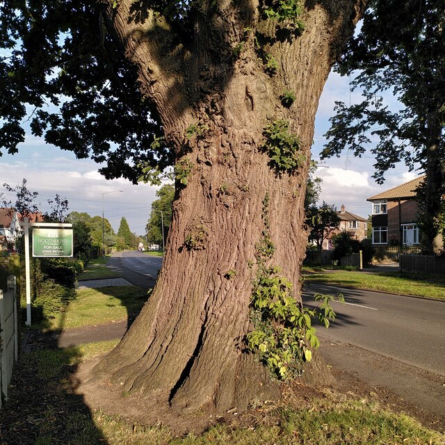
Glasshouse Spinney is a beautiful woodland located in Warwickshire, England. Covering an area of approximately 20 hectares, it is known for its dense and diverse forest vegetation.

The spinney is predominantly composed of broadleaf trees, including oak, beech, and ash. These towering trees create a dense canopy, providing ample shade and shelter for a variety of woodland flora and fauna. The forest floor is covered with a thick layer of leaf litter, creating a rich and fertile habitat for wildflowers, ferns, and fungi.

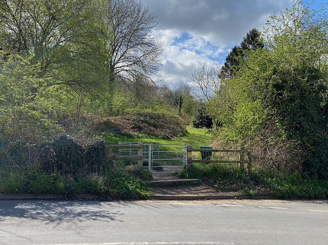
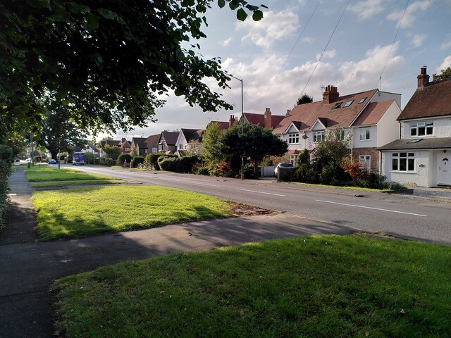
The woodland is crisscrossed by a network of well-maintained footpaths, allowing visitors to explore its natural wonders. These paths lead to secluded clearings, where visitors can relax and enjoy the tranquil surroundings. A small stream runs through the spinney, adding to its charm and providing a water source for many woodland creatures.

Glasshouse Spinney is home to a diverse range of wildlife. It is a haven for birdwatchers, with species such as woodpeckers, owls, and thrushes frequently spotted. Deer and squirrels can often be seen darting through the undergrowth, while foxes and badgers are known to inhabit the spinney. The woodland also supports a rich insect population, with butterflies, bees, and beetles adding color and vibrancy to the ecosystem.

Overall, Glasshouse Spinney is a hidden gem in Warwickshire, offering a peaceful retreat for nature lovers. Its dense forest, diverse wildlife, and well-maintained footpaths make it an ideal destination for walking, birdwatching, and simply immersing oneself in the beauty of nature.

If you have any feedback on the listing, please let us know in the comments section below.

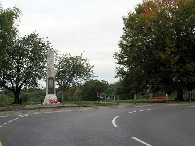
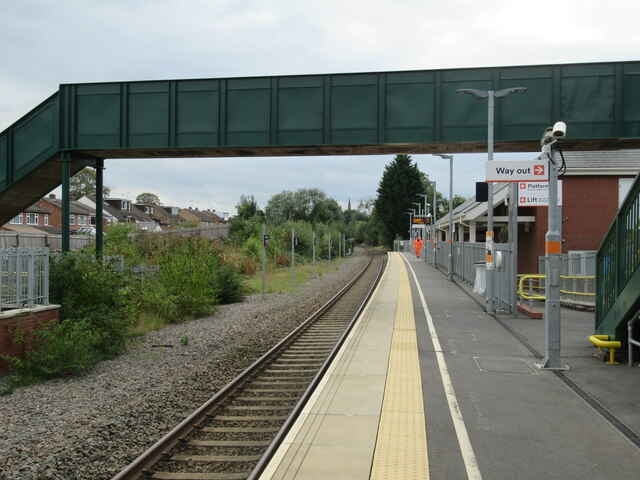
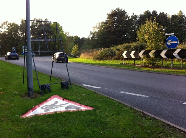
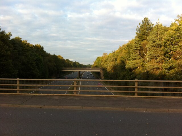
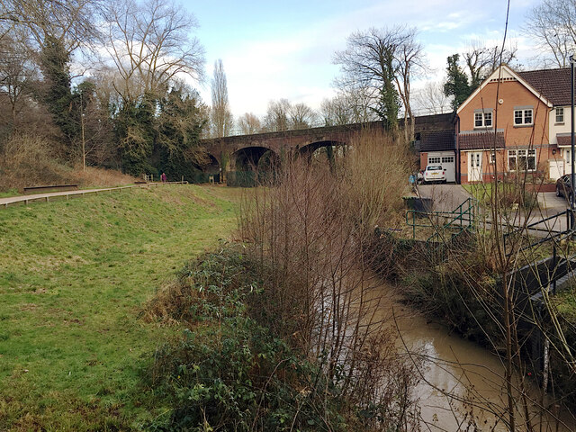
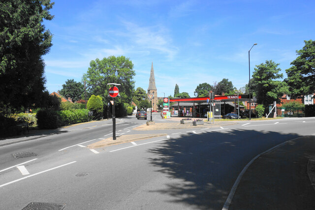
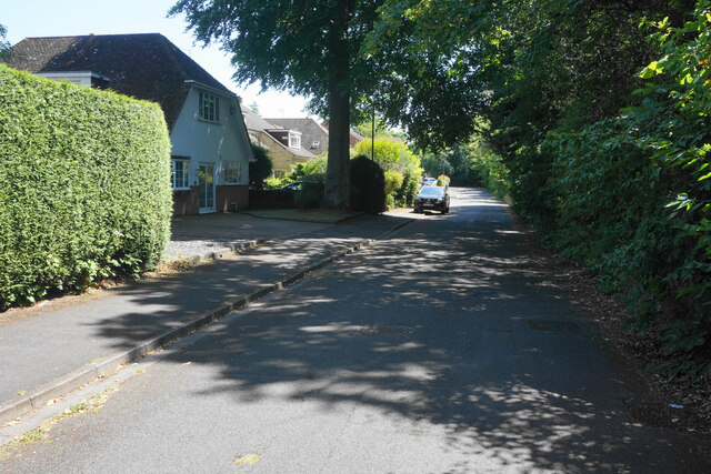
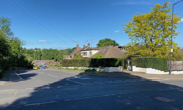
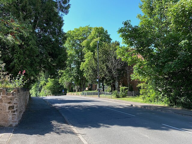
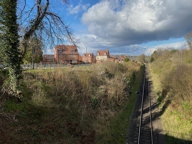
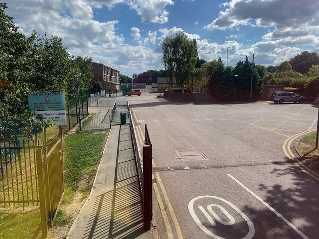
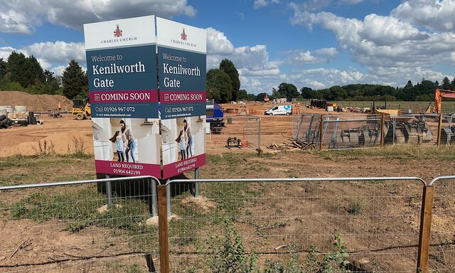
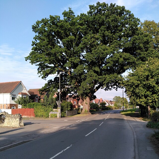
Glasshouse Spinney Images

Images are sourced within 2km of 52.341896/-1.5537376 or Grid Reference SP3071. Thanks to Geograph Open Source API. All images are credited.

The War Memorial at the entrance to Abbey Fields, Kenilworth
Kenilworth station
Kenilworth station
Roundabout at junction of A46 and A452, Kenilworth
Roundabout at junction of A46 and A452, Kenilworth We are looking to the north east, where the A46 Kenilworth Bypass cuts through Thickthorn Wood.
Roundabout at junction of A46 and A452, Kenilworth
We are looking to the north east, where the A46 Kenilworth Bypass cuts through Thickthorn Wood.
Fuel delivery, Warwick Road, Kenilworth A tanker is delivering fuel to the Shell garage on Warwick Road.
Fuel delivery, Warwick Road, Kenilworth
A tanker is delivering fuel to the Shell garage on Warwick Road.
Finham Brook between the Common and Woodville Meadow, Kenilworth The footpath continues by the railway, left. The handsome viaduct carries the Coventry-Leamington line over the brook. Note the flood gauge, lower right.
Finham Brook between the Common and Woodville Meadow, Kenilworth
The footpath continues by the railway, left. The handsome viaduct carries the Coventry-Leamington line over the brook. Note the flood gauge, lower right.
Gate to footpath by Knowle Hill, Kenilworth
Warwick Road, Kenilworth The old main road to Warwick before the new A46 changed the local configuration. It is bounded by fairly substantial residential properties.
Warwick Road, Kenilworth
The old main road to Warwick before the new A46 changed the local configuration. It is bounded by fairly substantial residential properties.
Entering a small gyratory system in Kenilworth This is where the original roads from Leamington and Warwick met at the bottom of the high street. St John's Church is in the background.
Entering a small gyratory system in Kenilworth
This is where the original roads from Leamington and Warwick met at the bottom of the high street. St John's Church is in the background.
Ferndale Drive A quiet residential cul-de-sac. The foliage on the right provides a screen against the busy A452 which is just the other side.
Ferndale Drive
A quiet residential cul-de-sac. The foliage on the right provides a screen against the busy A452 which is just the other side.
Top of Villiers Road, Kenilworth At its junction with Park Hill.
Top of Villiers Road, Kenilworth
At its junction with Park Hill.
Top of Park Hill, Kenilworth
Leamington-Coventry line north from Kenilworth Since it opened as a branch line in 1844 it has evolved to become a busy north-south link in long-distance routes for passengers and freight. Much of it is still single track. The view is from the Common Lane bridge.
Leamington-Coventry line north from Kenilworth
Since it opened as a branch line in 1844 it has evolved to become a busy north-south link in long-distance routes for passengers and freight. Much of it is still single track. The view is from the Common Lane bridge.
Way in to Kenilworth School, Leyes Lane As at many secondary school sites, buildings have proliferated. Here there is a sports centre. The school is home to an Air Training Corps and a county music centre.
Photo number 7566679.
Way in to Kenilworth School, Leyes Lane
As at many secondary school sites, buildings have proliferated. Here there is a sports centre. The school is home to an Air Training Corps and a county music centre. Photo number 7566679.
Kenilworth extends This looks like the land that was host to the Kenilworth Horse Fair <a href="https://www.geograph.org.uk/photo/5132792">SP2970 : Riding bareback in the paddock, Kenilworth Horse Fair</a>. It is being developed for housing, branded 'Kenilworth Gate' by Charles Church.
Photo number 7566687.
Kenilworth extends
This looks like the land that was host to the Kenilworth Horse Fair SP2970 : Riding bareback in the paddock, Kenilworth Horse Fair. It is being developed for housing, branded 'Kenilworth Gate' by Charles Church. Photo number 7566687.
Veteran oak, Rouncil Lane, Kenilworth  This fine pedunculate oak, Quercus robur, stands at the corner of Rouncil Lane and Mortimer Road in the suburbs of Kenilworth. The Woodland Trust classify it as a veteran tree, with a girth of 5.06m at the conventional measuring height of 1.5m <span class="nowrap"><a title="https://ati.woodlandtrust.org.uk/tree-search/tree?treeid=80463&from=3523&v=2358934&ml=map&z=18&nwLat=52.33412818038196&nwLng=-1.5781692122101498&seLat=52.332403940921914&seLng=-1.5759590719818783#/" rel="nofollow ugc noopener" href="https://ati.woodlandtrust.org.uk/tree-search/tree?treeid=80463&from=3523&v=2358934&ml=map&z=18&nwLat=52.33412818038196&nwLng=-1.5781692122101498&seLat=52.332403940921914&seLng=-1.5759590719818783#/">Link</a><img style="margin-left:2px;" alt="External link" title="External link - shift click to open in new window" src="https://s1.geograph.org.uk/img/external.png" width="10" height="10"/></span> .
Veteran oak, Rouncil Lane, Kenilworth
This fine pedunculate oak, Quercus robur, stands at the corner of Rouncil Lane and Mortimer Road in the suburbs of Kenilworth. The Woodland Trust classify it as a veteran tree, with a girth of 5.06m at the conventional measuring height of 1.5m LinkExternal link .
Trunk of a veteran oak, Rouncil Lane, Kenilworth  This is the trunk of the pedunculate oak at the corner of Rouncil Lane and Mortimer Road; see <a href="https://www.geograph.org.uk/photo/7579687">SP2870 : Veteran oak, Rouncil Lane, Kenilworth </a>.
Trunk of a veteran oak, Rouncil Lane, Kenilworth
This is the trunk of the pedunculate oak at the corner of Rouncil Lane and Mortimer Road; see SP2870 : Veteran oak, Rouncil Lane, Kenilworth .
Rouncil Lane, Kenilworth  This suburban stretch of lane with its wide verge on one side is of a type quite common in this area; Broad Lane and Green Lane in Coventry are other examples.
Rouncil Lane, Kenilworth
This suburban stretch of lane with its wide verge on one side is of a type quite common in this area; Broad Lane and Green Lane in Coventry are other examples.
Show me another place!

Glasshouse Spinney is located at Grid Ref: SP3071 (Lat: 52.341896, Lng: -1.5537376)

Administrative County: Warwickshire

District: Warwick

Police Authority: Warwickshire

What 3 Words

///youth.angel.kinks. Near Kenilworth, Warwickshire

Nearby Locations

Glasshouse Spinney

Related Wikis

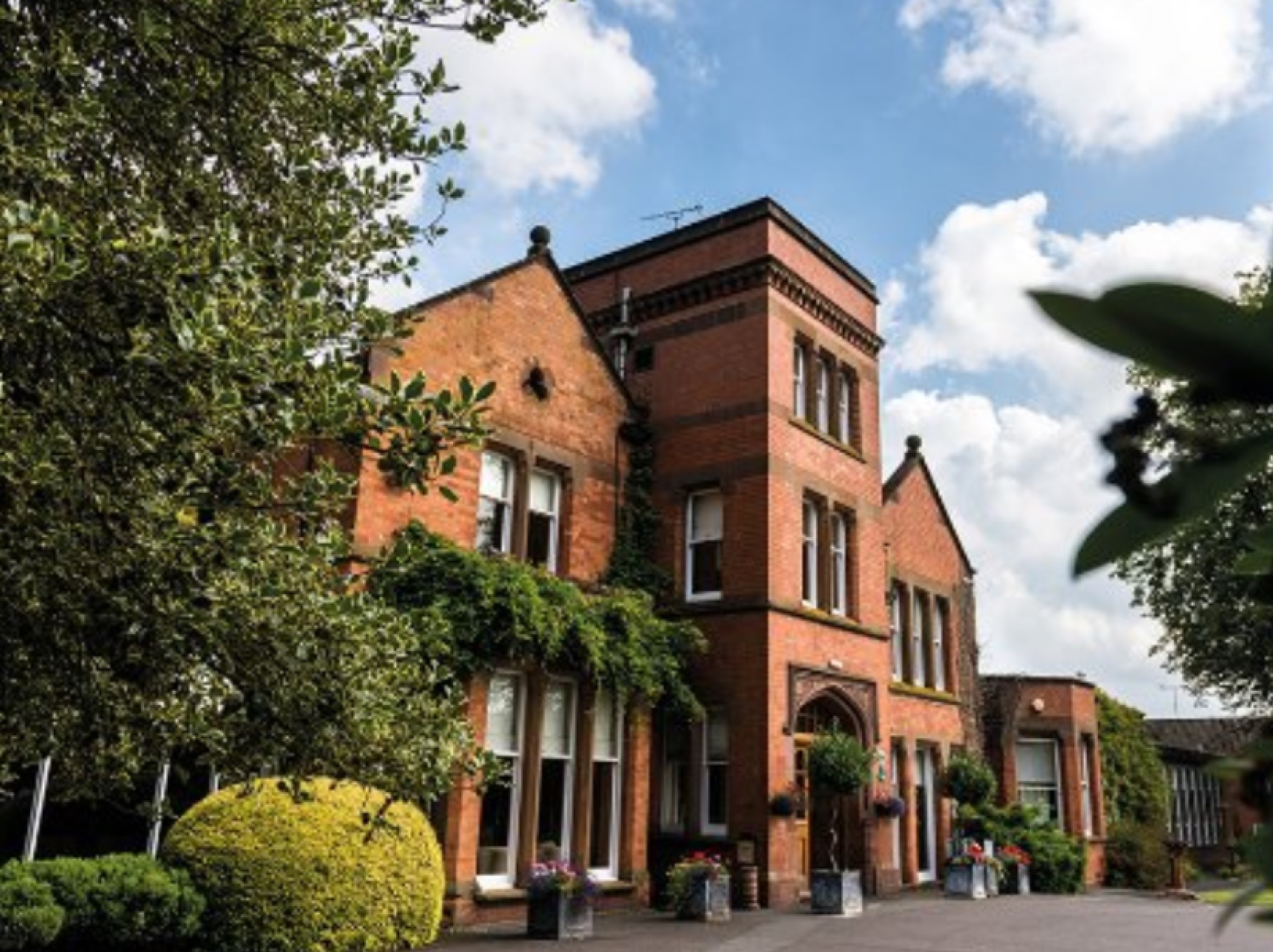
Woodside Hotel, Kenilworth

The Woodside Hotel is a building of historical significance in Kenilworth, Warwickshire, England. It was the residence of several notable people from about...

Kenilworth School and Sixth Form

Kenilworth School and Sixth Form, also known as Kenilworth School and Sports College, is a coeducational secondary school and sixth form based in Glasshouse...

Kenilworth

Kenilworth ( KEN-il-wərth) is a market town and civil parish in the Warwick District in Warwickshire, England, 6 miles (10 km) south-west of Coventry and...

Kenilworth railway station

Kenilworth railway station serves the town of Kenilworth, Warwickshire, England; it is a stop on the Coventry to Leamington Line. The original Kenilworth...

Nearby Amenities

Located within 500m of 52.341896,-1.5537376
Turning Circle
Lat/Long: 52.3421682/-1.5596551
Bus Stop
Mayfield Drive
Bus: yes
Covered: no
Naptan AtcoCode: 4200F031200
Naptan Bearing: N
Naptan CommonName: Mayfield Drive
Naptan Indicator: Adj
Naptan NaptanCode: wardamdm
Naptan Street: Dencer Drive
Naptan Verified: no
Passenger Information Display: no
Public Transport: platform
Source: naptan_import
Lat/Long: 52.3418352/-1.5550912
Bus Stop
Arlidge Crescent
Bus: yes
Covered: no
Naptan AtcoCode: 4200F129910
Naptan Bearing: N
Naptan CommonName: Arlidge Crescent
Naptan Crossing: Arlidge Crescent
Naptan Indicator: Opp
Naptan NaptanCode: warapgtm
Naptan Street: Dencer Drive
Naptan Verified: no
Passenger Information Display: no
Public Transport: platform
Source: naptan_import
Lat/Long: 52.3451731/-1.5557183
Turning Circle
Lat/Long: 52.3457122/-1.5568954
Turning Circle
Lat/Long: 52.3455156/-1.5575499
Post Box
Brand: Royal Mail
Brand Wikidata: Q638098
Brand Wikipedia: en:Royal Mail
Collection Times: Mo-Fr 16:00; Sa 08:15
Operator: Royal Mail
Operator Wikidata: Q638098
Post Box Type: pillar
Ref: CV8 466
Royal Cypher: EIIR
Royal Cypher Wikidata: Q33102113
Source: survey
Lat/Long: 52.342122/-1.555162
Parking
Access: yes
Fee: no
Parking: street_side
Lat/Long: 52.3407408/-1.5506842
Turning Circle
Lat/Long: 52.3436216/-1.5588424
Barrier: bollard
Lat/Long: 52.3439273/-1.5561641
Fire Hydrant
Emergency: fire_hydrant
Fire Hydrant Position: sidewalk
Fire Hydrant Type: underground
Lat/Long: 52.3400934/-1.5571055
Generator Method: photovoltaic
Generator Output Electricity: yes
Generator Source: solar
Generator Type: solar_photovoltaic_panel
Location: roof
Power: generator
Lat/Long: 52.3455337/-1.556561
Generator Method: photovoltaic
Generator Output Electricity: yes
Generator Source: solar
Generator Type: solar_photovoltaic_panel
Location: roof
Power: generator
Lat/Long: 52.3411635/-1.5561198
Generator Method: photovoltaic
Generator Output Electricity: yes
Generator Source: solar
Generator Type: solar_photovoltaic_panel
Location: roof
Power: generator
Lat/Long: 52.3408546/-1.5570371
Generator Method: photovoltaic
Generator Output Electricity: yes
Generator Source: solar
Generator Type: solar_photovoltaic_panel
Location: roof
Power: generator
Lat/Long: 52.3423745/-1.560021
Generator Method: photovoltaic
Generator Output Electricity: yes
Generator Source: solar
Generator Type: solar_photovoltaic_panel
Location: roof
Power: generator
Lat/Long: 52.3420516/-1.5591306
Generator Method: photovoltaic
Generator Output Electricity: yes
Generator Source: solar
Generator Type: solar_photovoltaic_panel
Location: roof
Power: generator
Lat/Long: 52.3412028/-1.5588677
Generator Method: photovoltaic
Generator Output Electricity: yes
Generator Source: solar
Generator Type: solar_photovoltaic_panel
Location: roof
Power: generator
Lat/Long: 52.3427202/-1.5595248
Generator Method: photovoltaic
Generator Output Electricity: yes
Generator Source: solar
Generator Type: solar_photovoltaic_panel
Location: roof
Power: generator
Lat/Long: 52.3420172/-1.5563867
Generator Method: photovoltaic
Generator Output Electricity: yes
Generator Source: solar
Generator Type: solar_photovoltaic_panel
Location: roof
Power: generator
Lat/Long: 52.3454714/-1.5569901
Direction: backward
Maxspeed: 20 mph
Traffic Sign: maxspeed
Lat/Long: 52.3460817/-1.5539684
Direction: backward
Maxspeed: 20 mph
Traffic Sign: maxspeed
Lat/Long: 52.3445731/-1.552783
Leisure: playground
Lat/Long: 52.3453853/-1.5510124
Colour: red and white
Marker: aerial
Material: plastic
Utility: gas
Lat/Long: 52.3414103/-1.5478632
Colour: red and white
Marker: aerial
Material: plastic
Utility: gas
Lat/Long: 52.3420288/-1.5474333
The data included in this document is from www.openstreetmap.org. The data is made available under ODbL.

Have you been to Glasshouse Spinney?

Leave your review of Glasshouse Spinney below (or comments, questions and feedback).