Agarton Copse
Wood, Forest in Hampshire New Forest
England
Agarton Copse
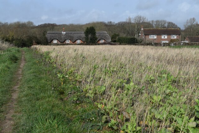
Agarton Copse is a picturesque woodland located in the county of Hampshire, England. Covering an area of approximately 100 acres, it is a significant natural asset within the region's landscape. The copse is situated on the outskirts of the small village of Agarton, which is known for its quaint charm and rural surroundings.
The woodland is primarily composed of a mix of deciduous and coniferous trees, creating a diverse and vibrant ecosystem. Within the copse, visitors can find a variety of tree species such as oak, beech, ash, and pine, which provide a habitat for numerous wildlife species. The forest floor is covered in a rich carpet of mosses, ferns, and wildflowers, adding to the copse's natural beauty.
Agarton Copse offers an idyllic setting for nature lovers and outdoor enthusiasts. With its network of well-maintained footpaths, the woodland is perfect for leisurely strolls, jogging, or dog walking. The tranquil atmosphere and the soothing sounds of nature make it a popular spot for those seeking relaxation and solitude.
The copse is also home to a diverse range of wildlife. Birdwatchers can spot various species, including woodpeckers, owls, and songbirds. Squirrels are a common sight, scampering among the trees, while badgers, foxes, and deer occasionally make an appearance.
Agarton Copse is easily accessible, with a small parking area available for visitors. It is managed by the local authorities, who ensure its conservation and preservation. The copse's natural beauty, combined with its accessibility and diverse wildlife, make it a cherished asset for the local community and a popular destination for nature enthusiasts.
If you have any feedback on the listing, please let us know in the comments section below.
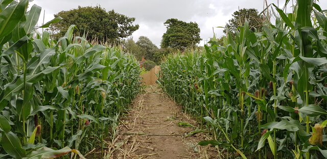
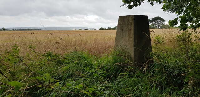
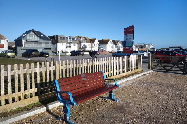
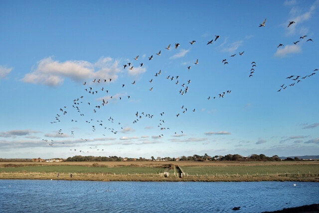
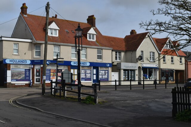
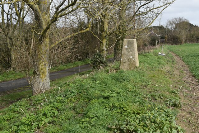
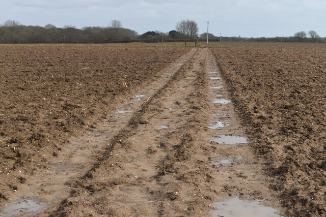
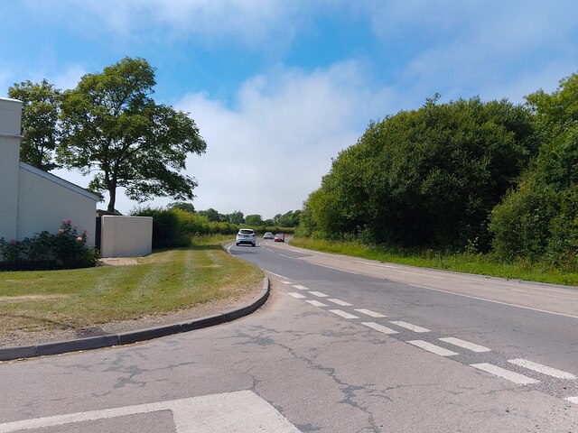
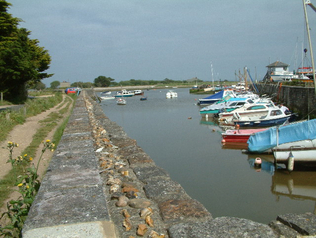
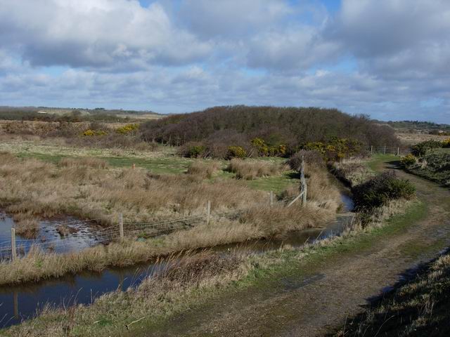
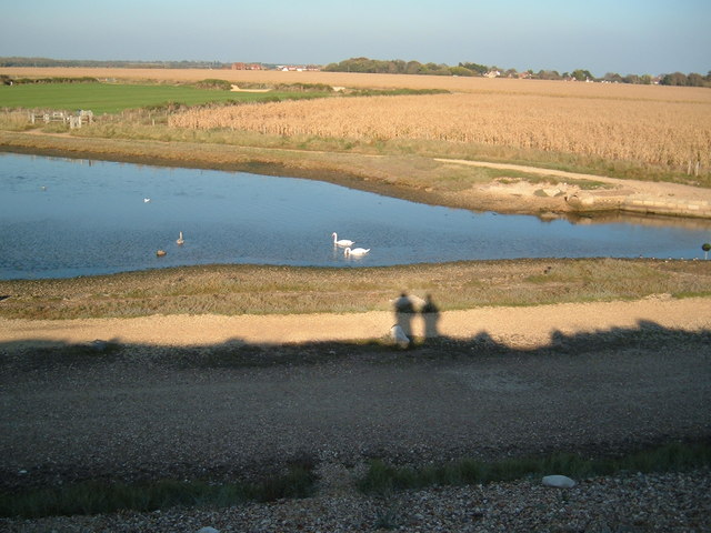
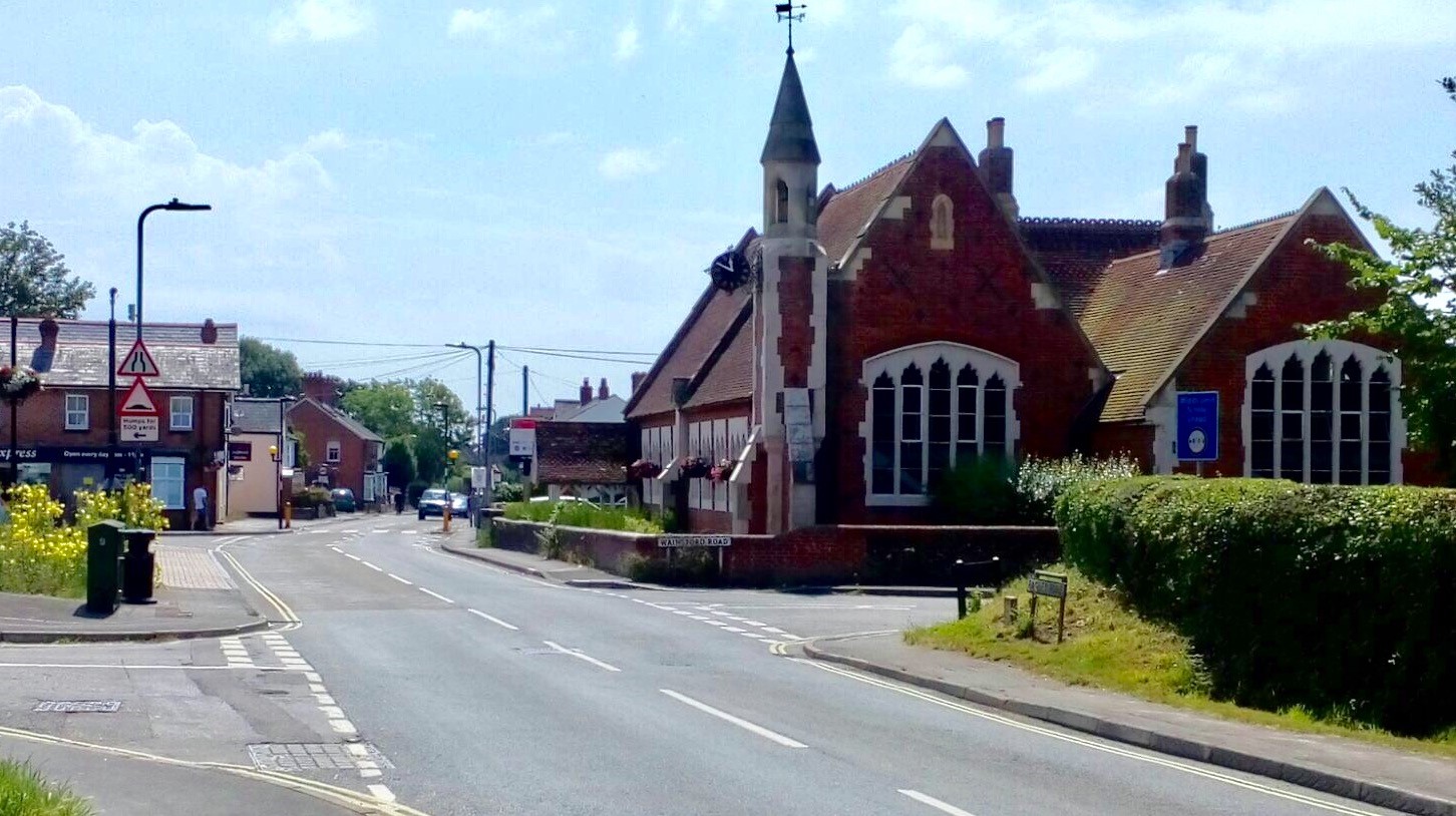
Agarton Copse Images
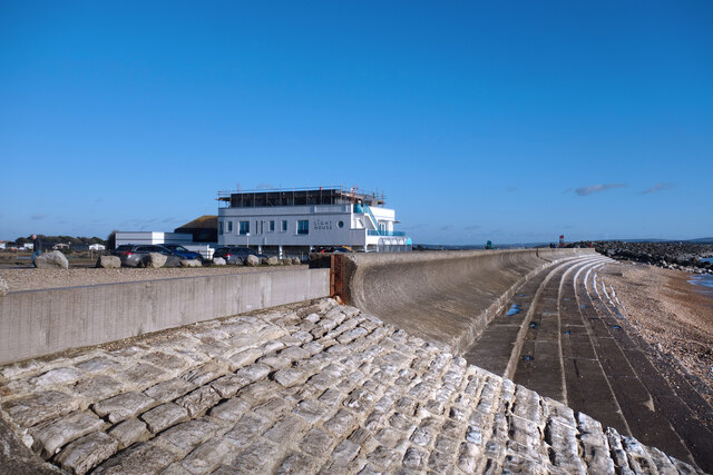
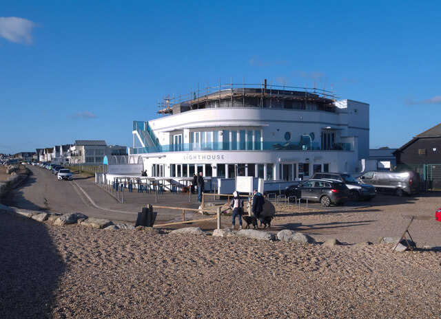
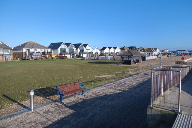
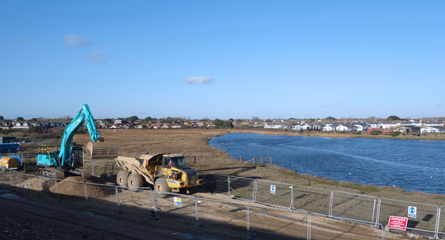
Images are sourced within 2km of 50.736053/-1.5745055 or Grid Reference SZ3093. Thanks to Geograph Open Source API. All images are credited.
Agarton Copse is located at Grid Ref: SZ3093 (Lat: 50.736053, Lng: -1.5745055)
Administrative County: Hampshire
District: New Forest
Police Authority: Hampshire
What 3 Words
///rainbow.interest.thickens. Near Milford on Sea, Hampshire
Nearby Locations
Related Wikis
Keyhaven
Keyhaven is a hamlet on the south coast of England in the county of Hampshire. It is a fishing village, but the trade has been in decline for a period...

Milford on Sea
Milford on Sea, often hyphenated, is a large coastal village and civil parish in the New Forest district, on the Hampshire coast, England. The parish had...

Keyhaven, Pennington, Oxey and Normandy Marshes
Keyhaven, Pennington, Oxey and Normandy Marshes, also known as the North Solent Marshes, are three areas of saltmarsh in Hampshire, England. The haven...
Lymington and Keyhaven Marshes
Lymington and Keyhaven Marshes is a 738-hectare (1,820-acre) nature reserve which stretches from Keyhaven along the south coast across the Lymington River...

Everton, Hampshire
Everton is a village in the civil parish of Hordle, 2+1⁄2 miles (4.0 km) west of Lymington, in the English county of Hampshire. == Overview == Everton...
Sturt Pond
Sturt Pond is a 10.9-hectare (27-acre) Local Nature Reserve in Milford on Sea in Hampshire. It is owned and managed by Milford On Sea Parish Council....
Pennington, Hampshire
Pennington is a ward (electoral and ecclesiastical) in the New Forest district of Hampshire, England, which is defined based on the boundaries of the earlier...

Solent Way
The Solent Way is a 60-mile (97 km) long-distance footpath in Hampshire, southern England. With the exception of a few inland diversions, the path follows...
Nearby Amenities
Located within 500m of 50.736053,-1.5745055Have you been to Agarton Copse?
Leave your review of Agarton Copse below (or comments, questions and feedback).