Gilbert Wood
Wood, Forest in Yorkshire
England
Gilbert Wood

Gilbert Wood is a small woodland area located in Yorkshire, England. It is situated in the southern part of the county, near the town of Wood. The wood covers an area of approximately 50 acres and is predominantly made up of deciduous trees such as oak, birch, and beech.
The woodland is known for its picturesque beauty and tranquil atmosphere, making it a popular destination for nature lovers and hikers. It offers a variety of walking trails, ranging from easy strolls to more challenging hikes, allowing visitors to explore the natural wonders of the wood.
One of the highlights of Gilbert Wood is its diverse wildlife. The woodland is home to a wide range of bird species, including woodpeckers, owls, and various songbirds. It is also a habitat for small mammals such as squirrels, foxes, and rabbits. Nature enthusiasts can often spot these animals while walking through the wood.
Additionally, Gilbert Wood is rich in history and cultural heritage. It is believed to have been part of a larger forest that covered the area centuries ago. The wood has witnessed various historical events and is said to have been a hideout for outlaws in the past.
Overall, Gilbert Wood in Yorkshire offers a peaceful retreat for those looking to connect with nature and explore the region's natural beauty. Its combination of scenic landscapes, diverse wildlife, and historical significance make it a must-visit destination for both locals and tourists alike.
If you have any feedback on the listing, please let us know in the comments section below.
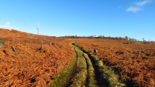
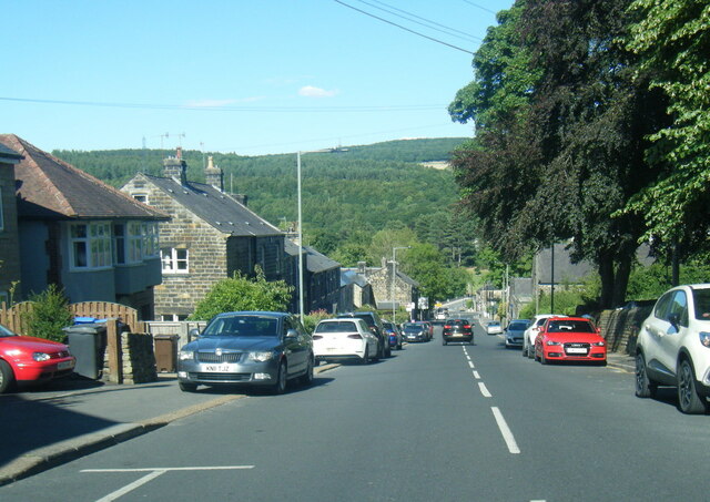
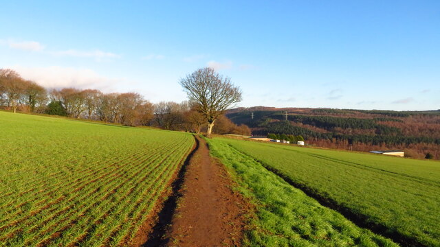
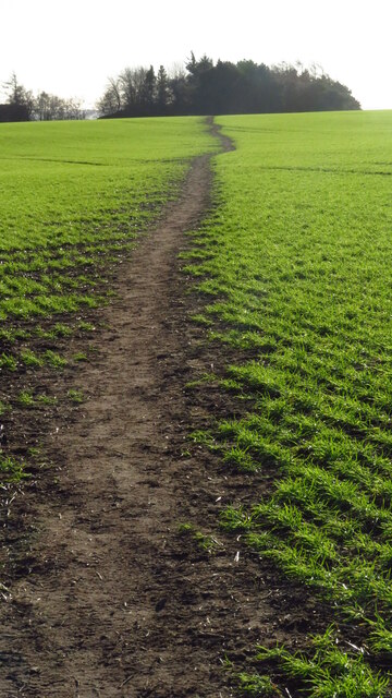
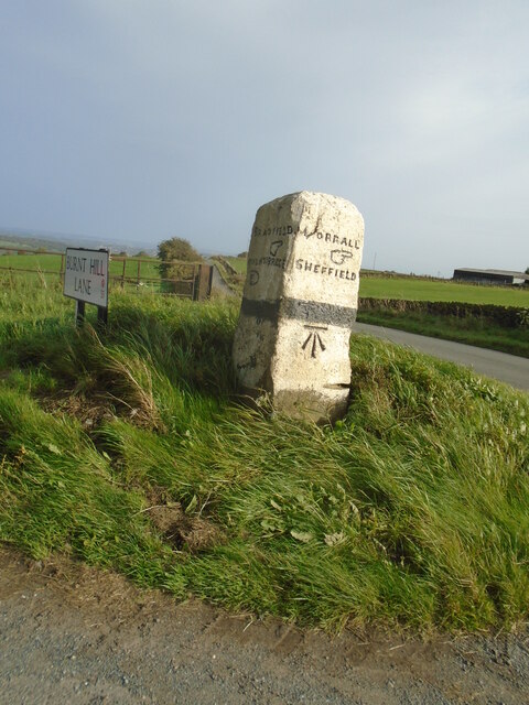
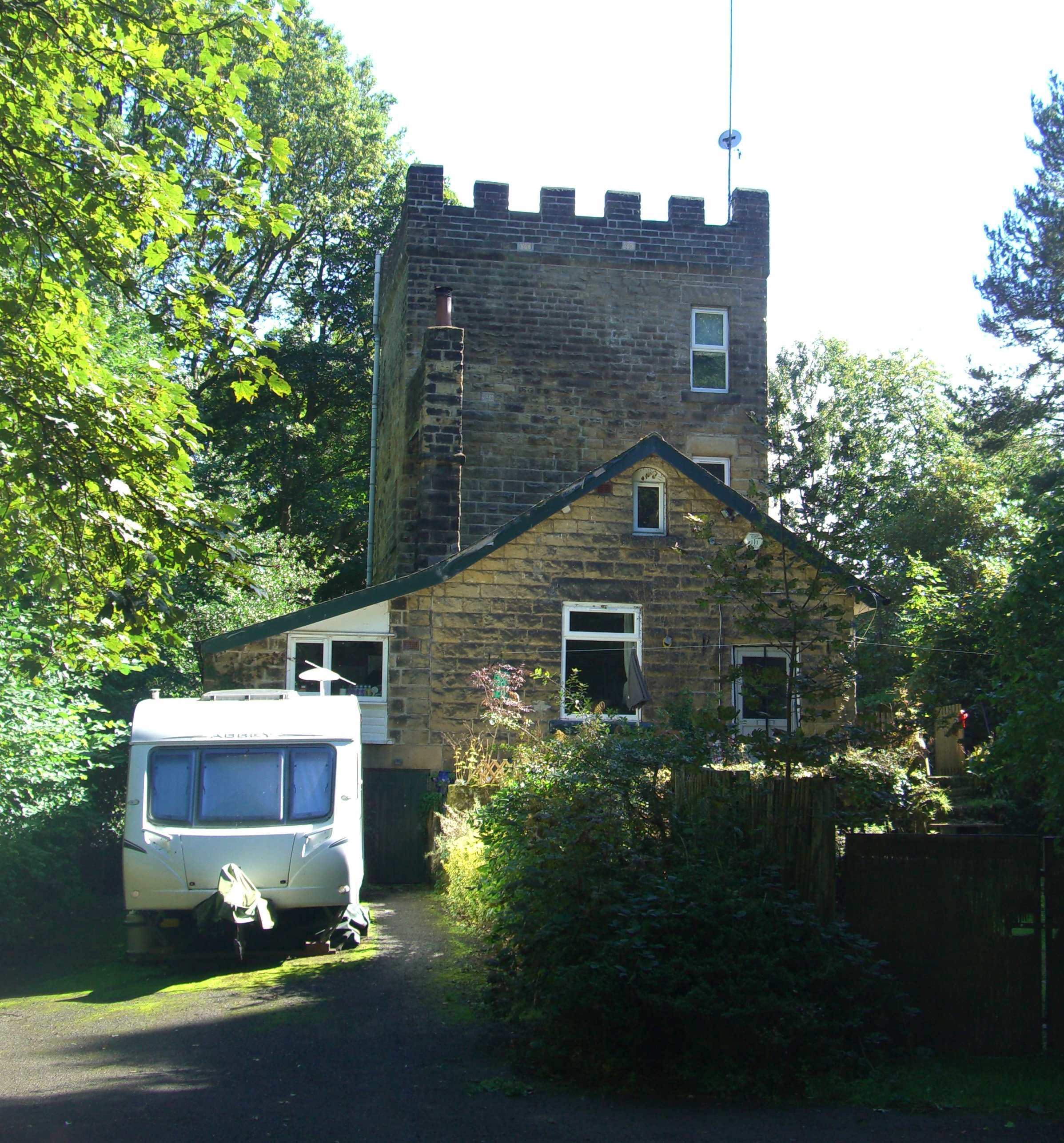
Gilbert Wood Images
Images are sourced within 2km of 53.435994/-1.5481001 or Grid Reference SK3093. Thanks to Geograph Open Source API. All images are credited.


Gilbert Wood is located at Grid Ref: SK3093 (Lat: 53.435994, Lng: -1.5481001)
Division: West Riding
Unitary Authority: Sheffield
Police Authority: South Yorkshire
What 3 Words
///works.format.when. Near Oughtibridge, South Yorkshire
Nearby Locations
Related Wikis
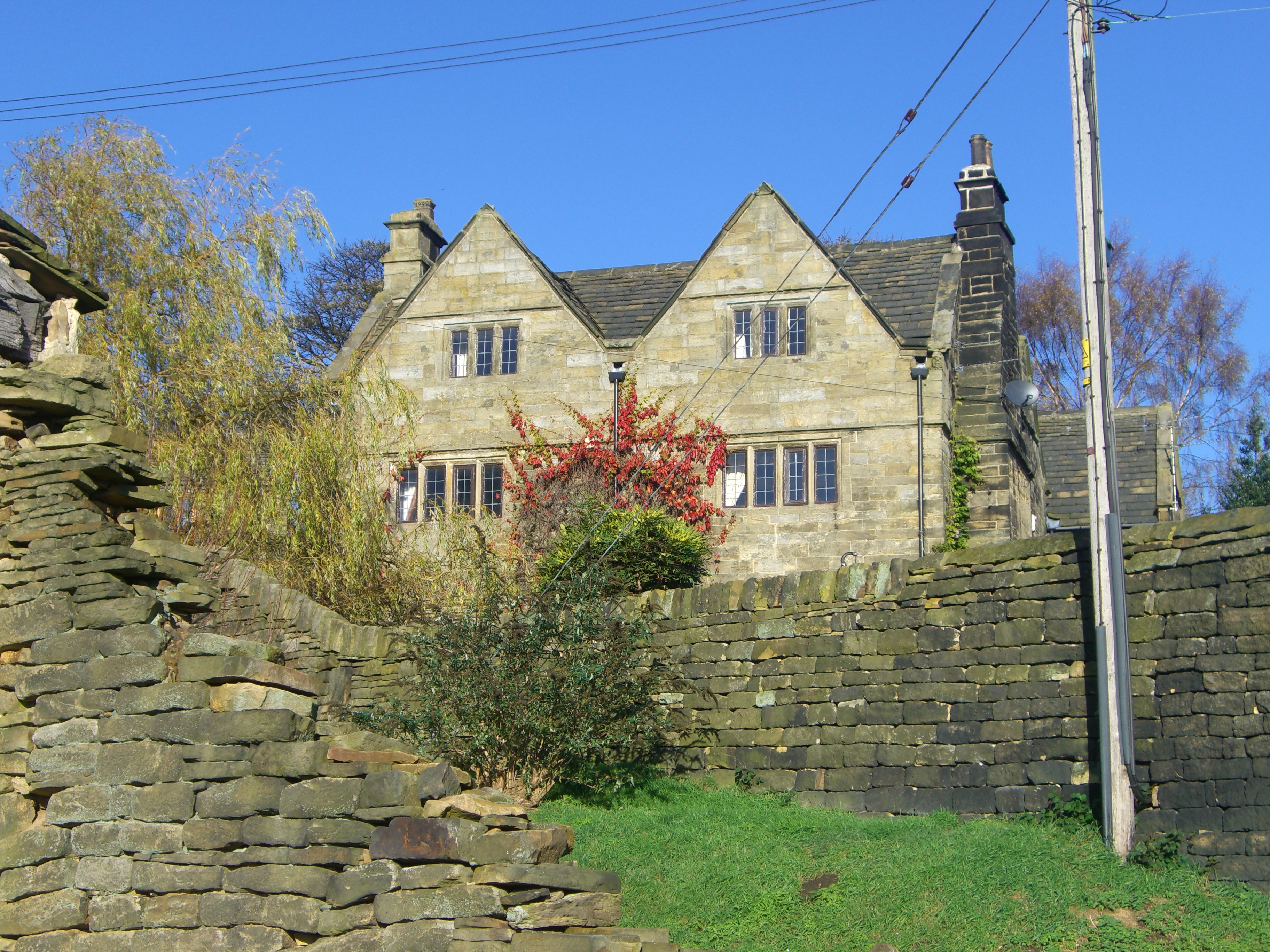
Onesacre Hall
Onesacre Hall is a Grade II* Listed building situated in the rural outskirts of the City of Sheffield in South Yorkshire, England. The hall is located...
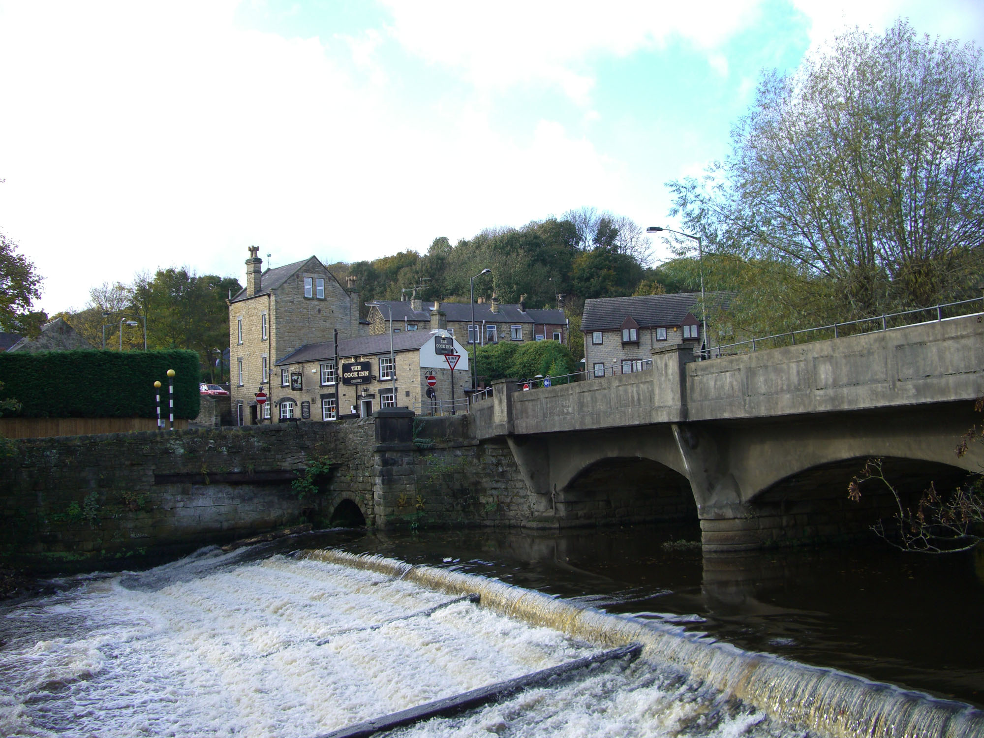
Oughtibridge
Oughtibridge ( OOT-i-brij) is a residential village in the north of Sheffield within the bounds of Bradfield civil parish. The village stands about 5 miles...

Oughty Bridge railway station
Oughty Bridge railway station was a railway station on the Sheffield, Ashton-under-Lyne and Manchester Railway built to serve the village of Oughtibridge...
Glen Howe Park
Glen Howe Park is a public recreation area in the village of Wharncliffe Side within the City of Sheffield, England. The park covers an area of 19 acres...
Nearby Amenities
Located within 500m of 53.435994,-1.5481001Have you been to Gilbert Wood?
Leave your review of Gilbert Wood below (or comments, questions and feedback).