Sensicall Park
Wood, Forest in Yorkshire
England
Sensicall Park

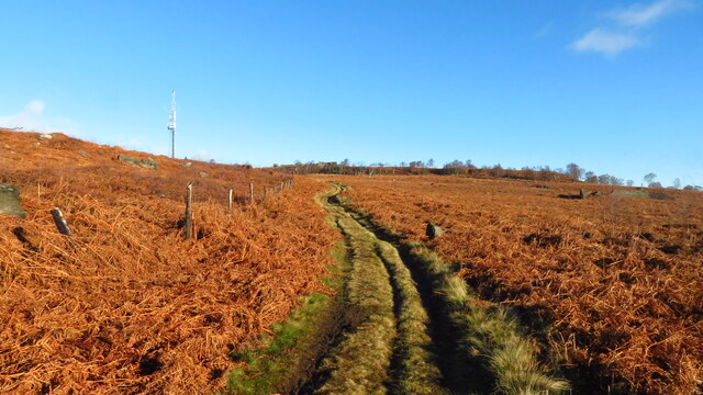
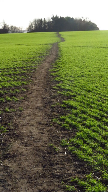
Sensicall Park is a picturesque and serene woodland located in Yorkshire, England. It spans over a vast area, offering visitors an immersive experience in nature. The park is renowned for its dense forest cover, which is home to a diverse range of flora and fauna.
Upon entering Sensicall Park, visitors are greeted by towering ancient trees, creating a sense of wonder and tranquility. The woodlands are predominantly made up of oak, beech, and pine trees, which provide a stunning display of colors throughout the seasons. In spring, vibrant wildflowers bloom, carpeting the forest floor in a vibrant tapestry of colors.
The park offers a variety of trails and pathways, ideal for leisurely walks and hiking enthusiasts. The paths are well-maintained, allowing visitors to explore the park's hidden gems, such as secluded streams and peaceful ponds. Along the trails, one may encounter a variety of wildlife, including deer, squirrels, and various bird species.
For those seeking a more immersive experience, Sensicall Park also offers camping facilities. Visitors can pitch their tents in designated camping areas, surrounded by the calming sounds of nature. Camping in the park provides a unique opportunity to disconnect from the modern world and truly reconnect with the natural environment.
Sensicall Park is a true haven for nature lovers and provides a much-needed escape from the hustle and bustle of everyday life. Its pristine woodlands, diverse wildlife, and peaceful atmosphere make it an ideal destination for individuals seeking solace in nature.
If you have any feedback on the listing, please let us know in the comments section below.
Sensicall Park Images
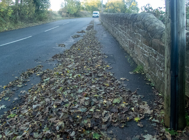
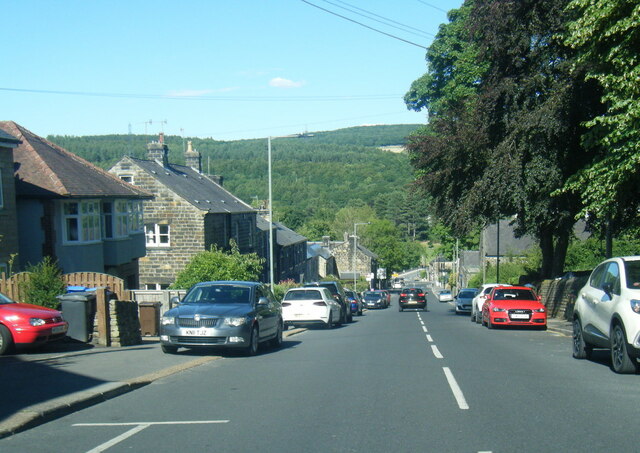
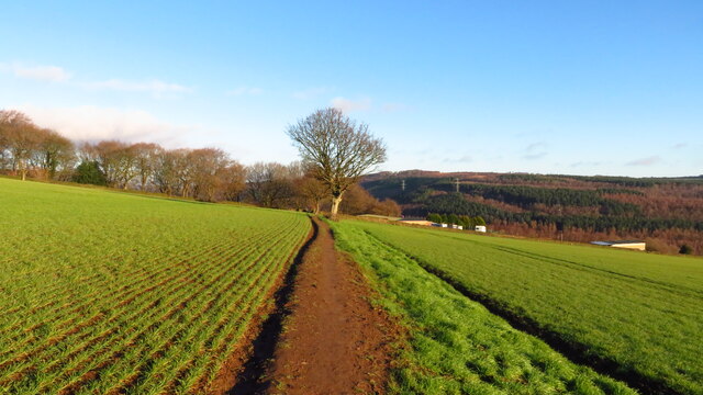
Images are sourced within 2km of 53.435096/-1.5458668 or Grid Reference SK3093. Thanks to Geograph Open Source API. All images are credited.


Sensicall Park is located at Grid Ref: SK3093 (Lat: 53.435096, Lng: -1.5458668)
Division: West Riding
Unitary Authority: Sheffield
Police Authority: South Yorkshire
What 3 Words
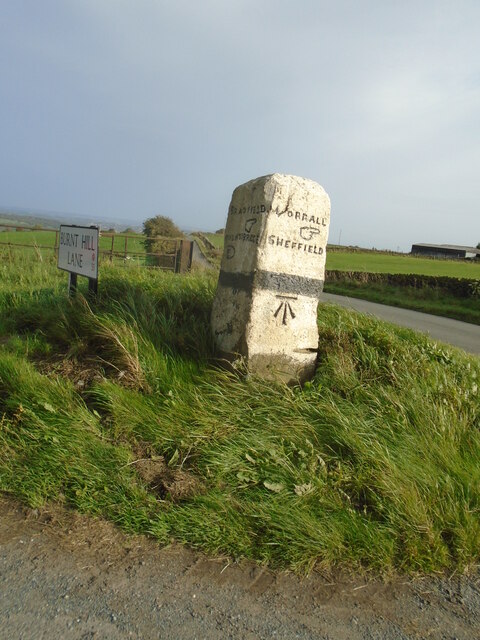
///pilots.brains.branch. Near Oughtibridge, South Yorkshire
Nearby Locations
Related Wikis
Oughtibridge
Oughtibridge ( OOT-i-brij) is a residential village in the north of Sheffield within the bounds of Bradfield civil parish. The village stands about 5 miles...
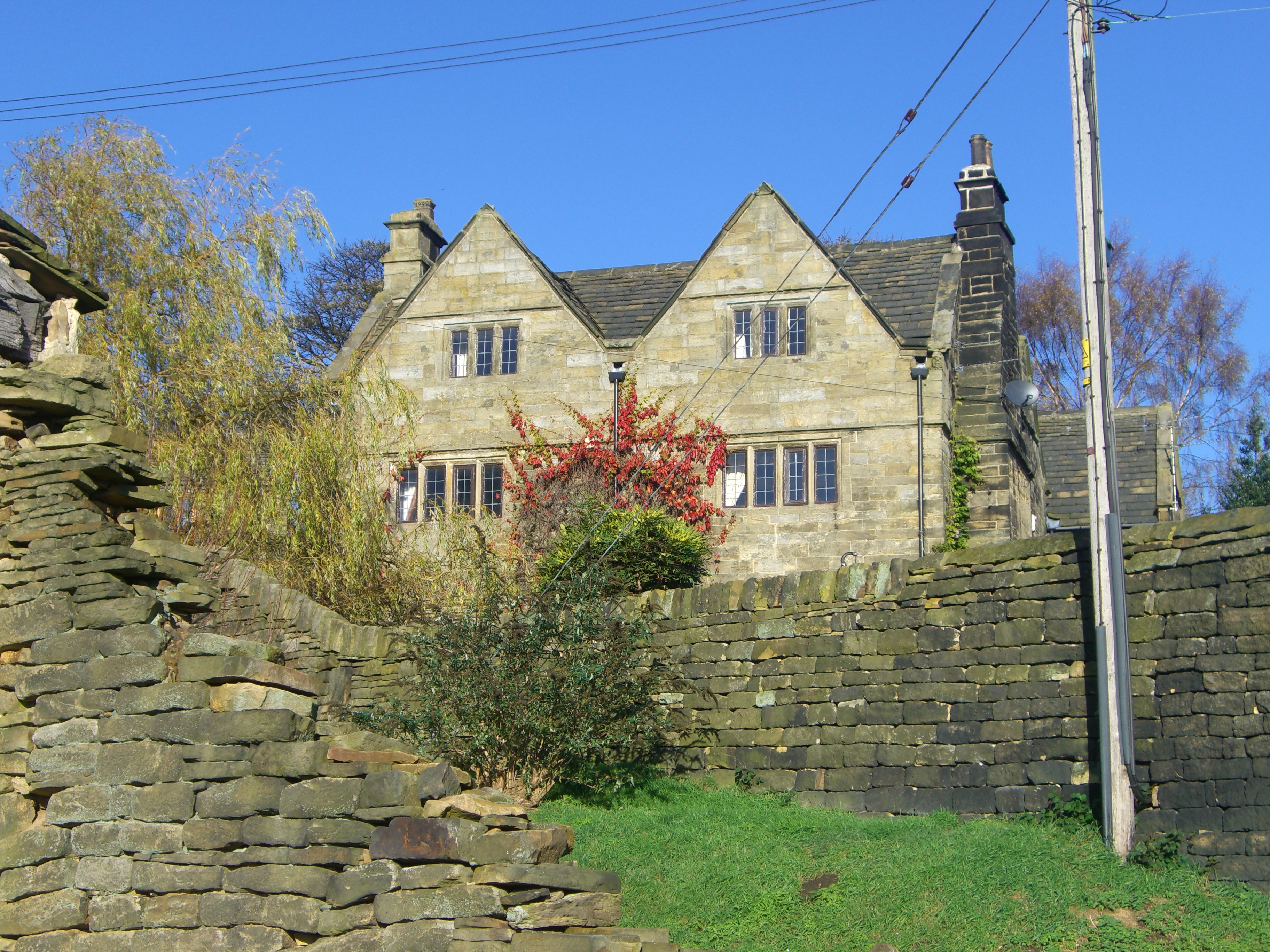
Onesacre Hall
Onesacre Hall is a Grade II* Listed building situated in the rural outskirts of the City of Sheffield in South Yorkshire, England. The hall is located...

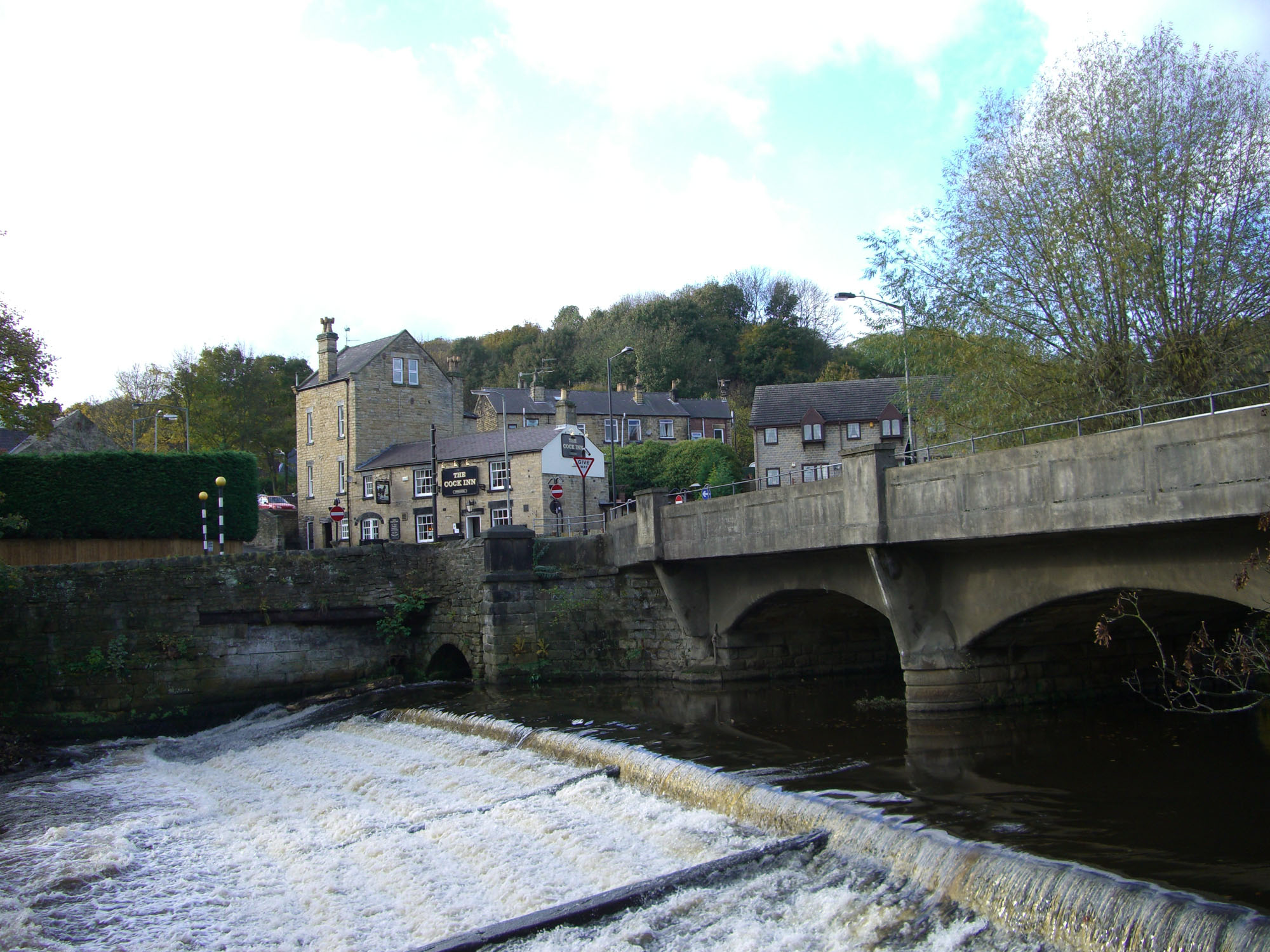
Oughty Bridge railway station
Oughty Bridge railway station was a railway station on the Sheffield, Ashton-under-Lyne and Manchester Railway built to serve the village of Oughtibridge...
Bradfield School
Bradfield School is a secondary school with academy status situated on the edge of the village of Worrall, in the civil parish of Bradfield, in Sheffield...
Nearby Amenities
Located within 500m of 53.435096,-1.5458668Have you been to Sensicall Park?
Leave your review of Sensicall Park below (or comments, questions and feedback).