Wickwood Copse
Wood, Forest in Berkshire Vale of White Horse
England
Wickwood Copse
Wickwood Copse is a picturesque woodland located in the county of Berkshire, England. Situated near the village of Wickham, this woodland is known for its serene and lush environment, making it a popular destination for nature enthusiasts and hikers alike.
Covering an area of approximately 100 acres, Wickwood Copse is home to a diverse range of flora and fauna. The woodland is primarily composed of deciduous trees, including oak, beech, and birch, which create a vibrant and colorful canopy during the autumn months. The forest floor is covered with a variety of wildflowers, ferns, and mosses, adding to the enchanting atmosphere of the copse.
Several well-marked trails wind their way through Wickwood Copse, providing visitors with the opportunity to explore its beauty at their own pace. These trails lead to hidden clearings, bubbling streams, and small ponds, offering tranquil spots for picnicking or simply enjoying the peaceful surroundings.
The copse is also home to a diverse array of wildlife. Birdwatchers can spot various species, including woodpeckers, owls, and jays, while small mammals such as foxes, badgers, and rabbits can be seen darting through the undergrowth. In spring, the woodland comes alive with the sights and sounds of nesting birds and the fragrance of blooming flowers.
Wickwood Copse is easily accessible, with a car park located nearby for visitors. It is managed by the local council, which ensures the preservation of its natural beauty and the protection of its inhabitants. Whether one seeks a peaceful retreat or an opportunity to immerse oneself in nature's wonders, Wickwood Copse offers an idyllic escape in the heart of Berkshire.
If you have any feedback on the listing, please let us know in the comments section below.
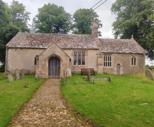
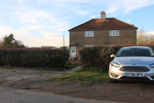
Wickwood Copse Images
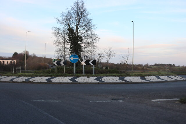
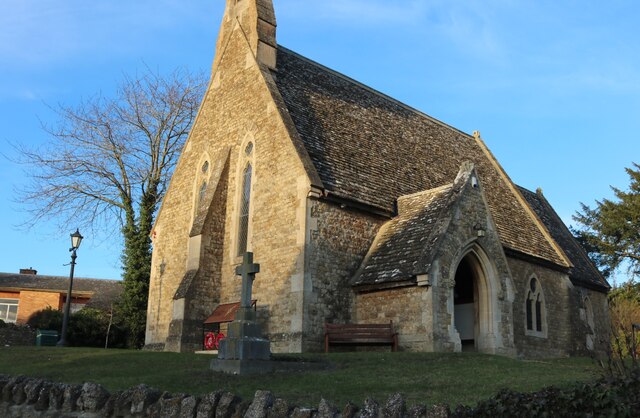
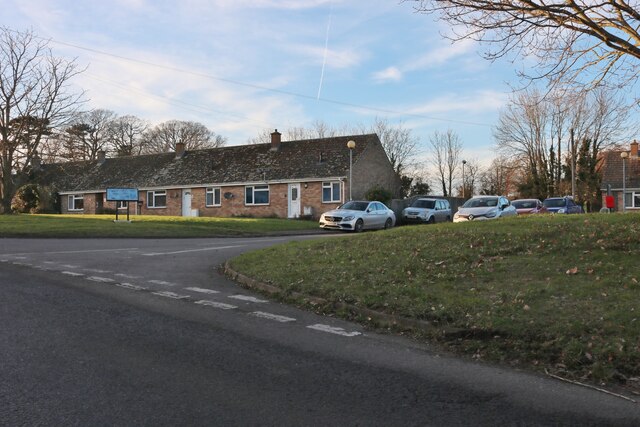
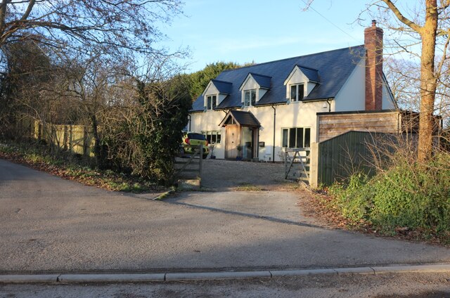
Images are sourced within 2km of 51.638531/-1.5661187 or Grid Reference SU3093. Thanks to Geograph Open Source API. All images are credited.


Wickwood Copse is located at Grid Ref: SU3093 (Lat: 51.638531, Lng: -1.5661187)
Administrative County: Oxfordshire
District: Vale of White Horse
Police Authority: Thames Valley
What 3 Words
///placidly.pumps.misfits. Near Faringdon, Oxfordshire
Nearby Locations
Related Wikis

Shellingford
Shellingford, historically also spelt Shillingford, is a village and civil parish about 2+1⁄2 miles (4 km) south-east of Faringdon in the Vale of White...

Fernham
Fernham is a village and civil parish about 2 miles (3 km) south of Faringdon in the Vale of White Horse, Oxfordshire, England. Fernham was historically...

Little Coxwell
Little Coxwell is a village and civil parish in South East England, about 1.5 miles (2.4 km) south of Faringdon and 0.8 miles (1.3 km) east of Great Coxwell...

Faringdon Community College
Faringdon Community College is an 11 to 18 mixed comprehensive school on the edge of Faringdon, a market town in Oxfordshire, England. The college has...

Faringdon railway station
Faringdon railway station is a closed stone and brick built railway station that served the market town of Faringdon, in Oxfordshire, England and was on...
Faringdon Castle
Faringdon Castle was a Norman castle standing just outside the market town of Faringdon in the English county of Berkshire (administratively now Oxfordshire...

Faringdon
Faringdon is a historic market town in the Vale of White Horse, Oxfordshire, England, 18 miles (29 km) south-west of Oxford, 10 miles (16 km) north-west...
Old Town Hall, Faringdon
The Old Town Hall is a municipal building in the Market Place in Faringdon, Oxfordshire, England. The building, which is used as an exhibitions and events...
Nearby Amenities
Located within 500m of 51.638531,-1.5661187Have you been to Wickwood Copse?
Leave your review of Wickwood Copse below (or comments, questions and feedback).