Kepier Wood

Wood, Forest in Durham

England

Kepier Wood

Path passing through trees above River Wear The path, a right of way, has climbed from beside the river by a number of steps retained by baulks of wood inserted into the ground. The route of the right of way is shown slightly differently on current OS maps.
Path passing through trees above River Wear Credit: Trevor Littlewood

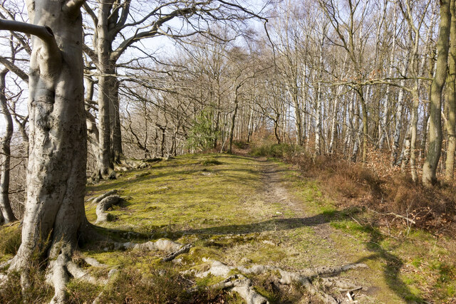
Kepier Wood is a beautiful woodland located in Durham, England. Spanning over 100 acres, it is a popular destination for nature lovers, hikers, and wildlife enthusiasts. The wood is situated on the outskirts of the city, making it easily accessible for both locals and tourists.

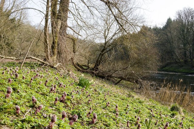
Kepier Wood is primarily composed of oak and beech trees, which create a dense and vibrant forest canopy. The woodland floor is covered in a rich carpet of wildflowers, ferns, and mosses, adding to its natural charm. The diverse range of flora and fauna found in Kepier Wood makes it a haven for wildlife, including birds, small mammals, and insects.

Multiple walking trails wind through the wood, providing visitors with the opportunity to explore its hidden wonders. These paths are well-maintained and suitable for all abilities. Along the way, there are several benches and picnic areas where visitors can rest and enjoy the tranquil surroundings.

Kepier Wood is not only a place of natural beauty but also holds historical significance. It has remnants of ancient settlements and stone structures, which add a sense of mystery and intrigue to the wood.

The wood is open to the public throughout the year, allowing visitors to experience its changing beauty with every season. Whether you are looking for a peaceful stroll, a place to connect with nature, or a spot for a family picnic, Kepier Wood is the perfect destination.

If you have any feedback on the listing, please let us know in the comments section below.
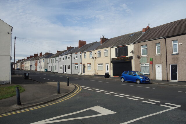
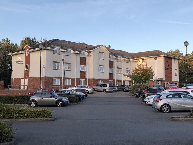
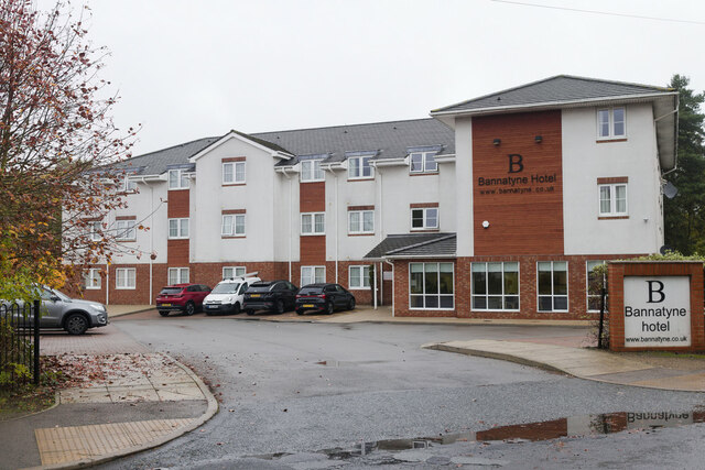
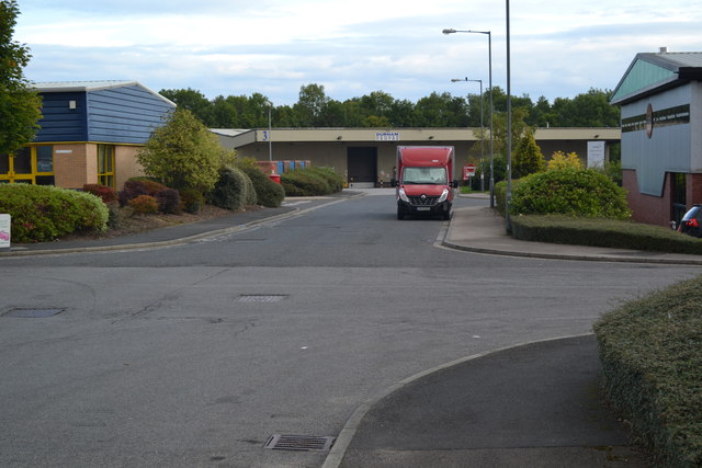
Kepier Wood Images

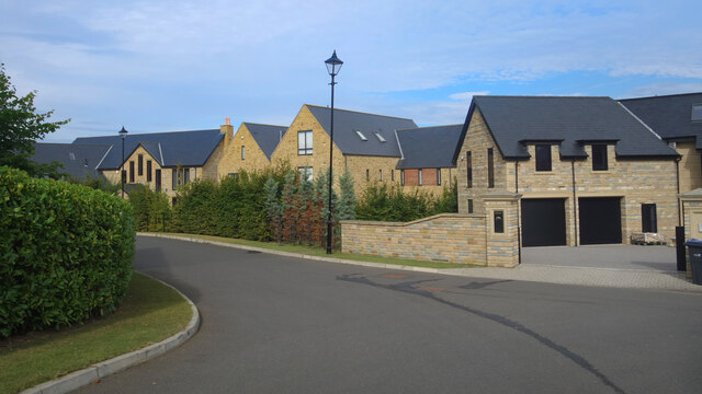
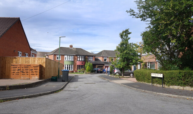
Images are sourced within 2km of 54.796578/-1.546112 or Grid Reference NZ2944. Thanks to Geograph Open Source API. All images are credited.

Path passing through trees above River Wear The path, a right of way, has climbed from beside the river by a number of steps retained by baulks of wood inserted into the ground. The route of the right of way is shown slightly differently on current OS maps.
Path passing through trees above River Wear
The path, a right of way, has climbed from beside the river by a number of steps retained by baulks of wood inserted into the ground. The route of the right of way is shown slightly differently on current OS maps.
Butterbur in flower beside River Wear Butterbur - Petasites hybridus, flowers in early spring in damp locations. It's unusual in that it flowers before its leaves appear. The rhubarb-like leaves as they develop grow to a spectacular size.
Butterbur in flower beside River Wear
Butterbur - Petasites hybridus, flowers in early spring in damp locations. It's unusual in that it flowers before its leaves appear. The rhubarb-like leaves as they develop grow to a spectacular size.
New Housing, Ramside Park A recent development on the eastern edge of suburban Durham.
New Housing, Ramside Park
A recent development on the eastern edge of suburban Durham.
Wantage Road (nos 60 - 84) The Wantage Road address continued along a short cul de sac off Wantage Road itself.
Wantage Road (nos 60 - 84)
The Wantage Road address continued along a short cul de sac off Wantage Road itself.
Wantage Road, Carrville
High Street, Carrville At the junction with Dene Drive.
High Street, Carrville
At the junction with Dene Drive.
Broomside Lane, Carrville
Belmont Medical Centre
Bus Stop by the Shops
Yellow bollards round the edge Parking area by the Cheveley Park shops.
Yellow bollards round the edge
Parking area by the Cheveley Park shops.
Ramp to the First Floor Housing near the Cheveley Park shops.
Ramp to the First Floor
Housing near the Cheveley Park shops.
Broomside Lane, Belmont
Terraced Houses, Carrville High Street
Bannatyne Hotel, Belmont
Bannatyne Hotel, Durham
Slip Road to the A690
Industrial estate at Carrville, Durham
The cold road south An icy morning view of the A1(M): first sunlight just catching the tops of the distant trees.
The cold road south
An icy morning view of the A1(M): first sunlight just catching the tops of the distant trees.
Show me another place!

Kepier Wood is located at Grid Ref: NZ2944 (Lat: 54.796578, Lng: -1.546112)

Unitary Authority: County Durham

Police Authority: Durham

What 3 Words

///shadowing.snuggled.rust. Near Durham, Co. Durham

Nearby Locations

Frankland Wood Kepier Wood

Related Wikis

Brasside Pond

Brasside Pond is a Site of Special Scientific Interest just north of the city of Durham, England. The site occupies an area of former clay pits sandwiched...

Frankland railway station

Frankland railway station served the village of Brasside, County Durham, England, from 1861 to 1877 on the Leamside Line. == History == The station opened...

Brasside

Brasside is a suburban village near Durham, located in the civil parish of Framwellgate Moor in County Durham, England. It is situated to the north of...

HM Prison Frankland

HM Prison Frankland is a Category A men's prison located in the village of Brasside in County Durham, England. Frankland is operated by His Majesty's Prison...

Nearby Amenities

Located within 500m of 54.796578,-1.546112
Ford: yes
Lat/Long: 54.7972728/-1.5411568
Power: pole
Lat/Long: 54.7999025/-1.5425344
Power: pole
Lat/Long: 54.7971712/-1.55248
Power: pole
Lat/Long: 54.7972872/-1.5509605
Power: pole
Lat/Long: 54.7973738/-1.5497777
Power: pole
Lat/Long: 54.7974627/-1.5485895
Power: pole
Lat/Long: 54.79784/-1.5475166
Power: pole
Lat/Long: 54.7982188/-1.5464424
Power: pole
Lat/Long: 54.798593/-1.5453695
Power: pole
Lat/Long: 54.7990444/-1.544074
Power: pole
Lat/Long: 54.7988898/-1.5429153
Power: pole
Lat/Long: 54.7987259/-1.5417498
Power: pole
Lat/Long: 54.7985667/-1.5405965
Power: pole
Lat/Long: 54.7983974/-1.5394351
Power: pole
Lat/Long: 54.7923506/-1.547361
Power: pole
Lat/Long: 54.7936217/-1.5489167
Power: pole
Lat/Long: 54.7944784/-1.5496892
Power: pole
Lat/Long: 54.7961407/-1.5512207
Power: pole
Lat/Long: 54.796804/-1.5511858
Power: pole
Lat/Long: 54.7976761/-1.5511483
Power: pole
Lat/Long: 54.7985883/-1.5511027
Power: pole
Lat/Long: 54.7993119/-1.5516311
Noexit: yes
Lat/Long: 54.7989602/-1.5398747
Frankland Pit
Historic: mine
Resource: coal
Website: http://www.dmm.org.uk/colliery/f019.htm
Lat/Long: 54.8006354/-1.5443409
Board Type: wildlife
Information: board
Tourism: information
Lat/Long: 54.800429/-1.5448907
Power: pole
Lat/Long: 54.7929715/-1.5481147
Power: pole
Lat/Long: 54.7953211/-1.5504643
The data included in this document is from www.openstreetmap.org. The data is made available under ODbL.

Have you been to Kepier Wood?

Leave your review of Kepier Wood below (or comments, questions and feedback).