Frankland Wood

Wood, Forest in Durham

England

Frankland Wood

Path passing through trees above River Wear The path, a right of way, has climbed from beside the river by a number of steps retained by baulks of wood inserted into the ground. The route of the right of way is shown slightly differently on current OS maps.
Path passing through trees above River Wear Credit: Trevor Littlewood

Frankland Wood is a picturesque forest located in Durham, England. Spread across a vast area, it is a significant natural landmark that attracts locals and tourists alike. The wood is situated in the northern part of County Durham, near the small village of Frankland. Its precise location can be found by following the A68 road, approximately 10 miles south of the city of Durham.

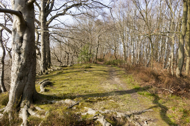
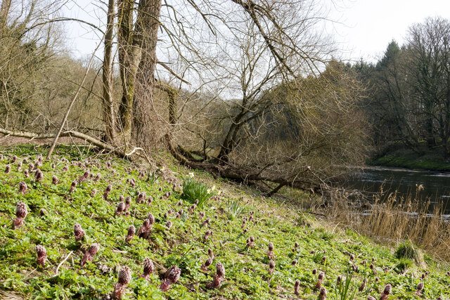
The wood offers a serene and tranquil environment, providing visitors with a peaceful escape from the hustle and bustle of city life. It is characterized by its dense vegetation, comprising a variety of tree species, including oak, beech, ash, and birch. These trees create a lush and verdant canopy, providing shade and shelter for the diverse wildlife that calls Frankland Wood home.

Walking trails wind through the forest, allowing visitors to explore its beauty at their own pace. These well-maintained paths offer opportunities for leisurely strolls, jogging, or even cycling. Along the way, visitors may encounter a range of wildlife, such as deer, squirrels, and a variety of bird species, making it a haven for nature enthusiasts and birdwatchers.

Furthermore, the wood is well-preserved and managed, ensuring its long-term sustainability and the conservation of its natural resources. It is also a designated site of special scientific interest (SSSI), recognized for its ecological importance and biodiversity.

Overall, Frankland Wood in Durham provides a stunning natural retreat, allowing visitors to immerse themselves in the beauty of nature while enjoying its recreational offerings.

If you have any feedback on the listing, please let us know in the comments section below.

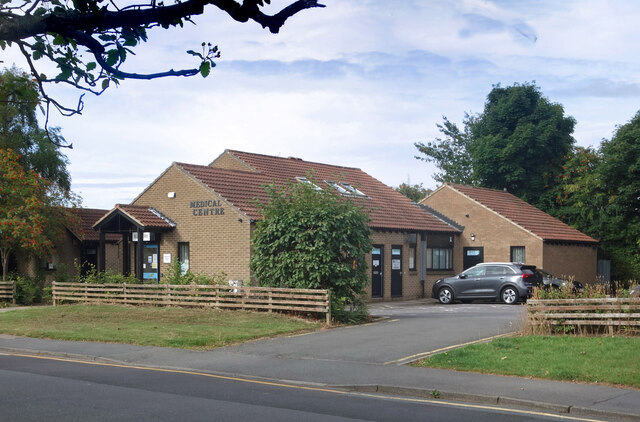
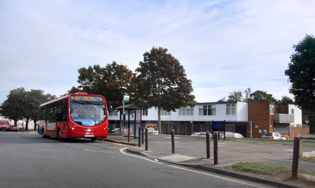
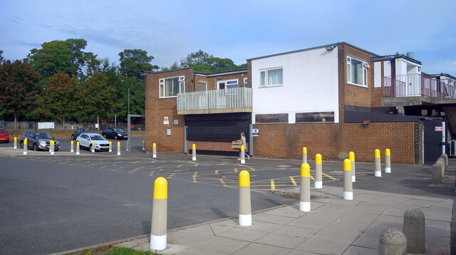
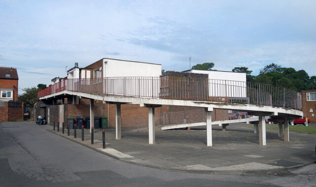
Frankland Wood Images

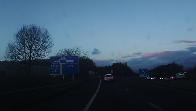
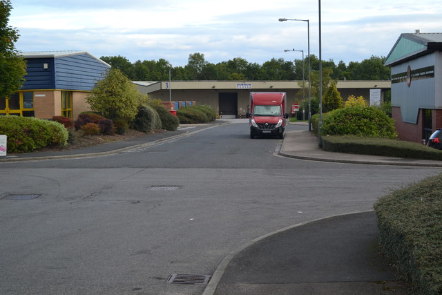
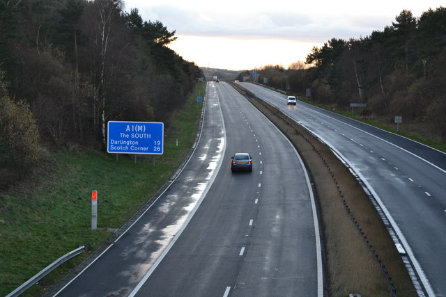
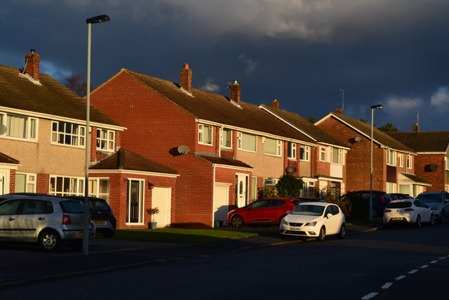
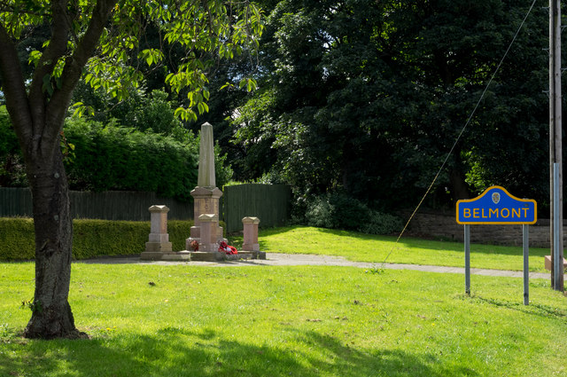
Images are sourced within 2km of 54.796715/-1.5492212 or Grid Reference NZ2944. Thanks to Geograph Open Source API. All images are credited.

Path passing through trees above River Wear The path, a right of way, has climbed from beside the river by a number of steps retained by baulks of wood inserted into the ground. The route of the right of way is shown slightly differently on current OS maps.
Path passing through trees above River Wear
The path, a right of way, has climbed from beside the river by a number of steps retained by baulks of wood inserted into the ground. The route of the right of way is shown slightly differently on current OS maps.
Butterbur in flower beside River Wear Butterbur - Petasites hybridus, flowers in early spring in damp locations. It's unusual in that it flowers before its leaves appear. The rhubarb-like leaves as they develop grow to a spectacular size.
Butterbur in flower beside River Wear
Butterbur - Petasites hybridus, flowers in early spring in damp locations. It's unusual in that it flowers before its leaves appear. The rhubarb-like leaves as they develop grow to a spectacular size.
Wantage Road, Carrville
High Street, Carrville At the junction with Dene Drive.
High Street, Carrville
At the junction with Dene Drive.
Belmont Medical Centre
Bus Stop by the Shops
Yellow bollards round the edge Parking area by the Cheveley Park shops.
Yellow bollards round the edge
Parking area by the Cheveley Park shops.
Ramp to the First Floor Housing near the Cheveley Park shops.
Ramp to the First Floor
Housing near the Cheveley Park shops.
Broomside Lane, Belmont
Terraced Houses, Carrville High Street
Bannatyne Hotel, Belmont
Bannatyne Hotel, Durham
Slip Road to the A690
Industrial estate at Carrville, Durham
The cold road south An icy morning view of the A1(M): first sunlight just catching the tops of the distant trees.
The cold road south
An icy morning view of the A1(M): first sunlight just catching the tops of the distant trees.
Suburban sunrise Intense early sunlight on houses in Devonshire Road.
Suburban sunrise
Intense early sunlight on houses in Devonshire Road.
War memorial, Belmont Belmont is a district of Durham city. The war memorial was moved in 2009 to this new location on High Street. The blue and yellow road sign is typical of many in County Durham.
War memorial, Belmont
Belmont is a district of Durham city. The war memorial was moved in 2009 to this new location on High Street. The blue and yellow road sign is typical of many in County Durham.
Planted beds at Belmont Park and Ride Durham has three park and ride termini. Belmont and Sniperley are connected by a single route passing through the city centre; the other terminus, Howlands, has a service only to and from the city.
The beds are planted with low-maintenance species.
Planted beds at Belmont Park and Ride
Durham has three park and ride termini. Belmont and Sniperley are connected by a single route passing through the city centre; the other terminus, Howlands, has a service only to and from the city. The beds are planted with low-maintenance species.
Show me another place!

Frankland Wood is located at Grid Ref: NZ2944 (Lat: 54.796715, Lng: -1.5492212)

Unitary Authority: County Durham

Police Authority: Durham

What 3 Words

///expressed.comply.airship. Near Durham, Co. Durham

Nearby Locations

Kepier Wood Frankland Wood

Related Wikis

Frankland railway station

Frankland railway station served the village of Brasside, County Durham, England, from 1861 to 1877 on the Leamside Line. == History == The station opened...

Brasside Pond

Brasside Pond is a Site of Special Scientific Interest just north of the city of Durham, England. The site occupies an area of former clay pits sandwiched...

Brasside

Brasside is a suburban village near Durham, located in the civil parish of Framwellgate Moor in County Durham, England. It is situated to the north of...

HM Prison Frankland

HM Prison Frankland is a Category A men's prison located in the village of Brasside in County Durham, England. Frankland is operated by His Majesty's Prison...

Nearby Amenities

Located within 500m of 54.796715,-1.5492212
Barrier: block
Lat/Long: 54.7980791/-1.5545078
Power: pole
Lat/Long: 54.7969424/-1.5555632
Power: pole
Lat/Long: 54.7970638/-1.5540102
Power: pole
Lat/Long: 54.7971712/-1.55248
Power: pole
Lat/Long: 54.7972872/-1.5509605
Power: pole
Lat/Long: 54.7973738/-1.5497777
Power: pole
Lat/Long: 54.7974627/-1.5485895
Power: pole
Lat/Long: 54.79784/-1.5475166
Power: pole
Lat/Long: 54.7982188/-1.5464424
Power: pole
Lat/Long: 54.798593/-1.5453695
Power: pole
Lat/Long: 54.7990444/-1.544074
Power: pole
Lat/Long: 54.7988898/-1.5429153
Power: pole
Lat/Long: 54.7923506/-1.547361
Power: pole
Lat/Long: 54.7936217/-1.5489167
Power: pole
Lat/Long: 54.7944784/-1.5496892
Power: pole
Lat/Long: 54.7961407/-1.5512207
Power: pole
Lat/Long: 54.796804/-1.5511858
Power: pole
Lat/Long: 54.7976761/-1.5511483
Power: pole
Lat/Long: 54.7985883/-1.5511027
Power: pole
Lat/Long: 54.7993119/-1.5516311
Power: pole
Transformer: distribution
Lat/Long: 54.8000324/-1.5521783
Board Type: wildlife
Information: board
Tourism: information
Lat/Long: 54.800429/-1.5448907
Power: pole
Lat/Long: 54.7929715/-1.5481147
Power: pole
Lat/Long: 54.7953211/-1.5504643
The data included in this document is from www.openstreetmap.org. The data is made available under ODbL.

Have you been to Frankland Wood?

Leave your review of Frankland Wood below (or comments, questions and feedback).