Old Gardens Wood

Wood, Forest in Durham

England

Old Gardens Wood

The Dun Cow, Bournmoor
The Dun Cow, Bournmoor Credit: Philip Soakell

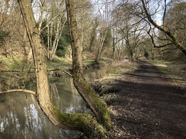
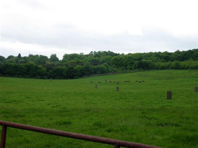
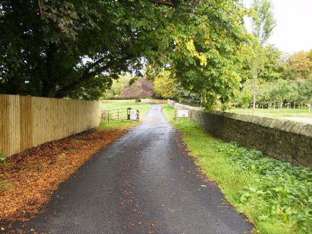
Old Gardens Wood is a captivating forest located in Durham, a historic city in northeast England. This woodland area spans approximately 20 acres and is a haven for nature enthusiasts and those seeking tranquility amidst the bustling city. The wood is situated near the southern outskirts of Durham, accessible from the A167 road.

The wood is predominantly composed of mature oak trees, which provide a majestic canopy, creating a serene and enchanting atmosphere. The forest floor is covered in a lush carpet of wildflowers, ferns, and mosses, adding to the woodland's ethereal charm. Numerous winding footpaths meander through the wood, inviting visitors to explore its hidden corners and discover its natural wonders.

Old Gardens Wood is also home to a diverse range of wildlife. Birdwatchers can spot various species, including woodpeckers, owls, and thrushes, as they flit among the treetops. Squirrels scamper through the branches, while rabbits and foxes can occasionally be seen darting through the undergrowth. The wood's biodiversity is further enhanced by its small ponds, which attract amphibians and insects.

For centuries, Old Gardens Wood has been cherished for its historical and cultural significance. It is believed to have been part of the ancient woodlands that once surrounded Durham Cathedral, dating back to medieval times. The wood has also been a site of interest for archaeologists, who have discovered remnants of human activity, including pottery fragments and old pathways.

Whether one seeks a peaceful stroll, an opportunity to observe nature, or a glimpse into Durham's past, Old Gardens Wood offers a captivating and enriching experience for all who venture within its boundaries.

If you have any feedback on the listing, please let us know in the comments section below.

Old Gardens Wood Images

Images are sourced within 2km of 54.86206/-1.5453617 or Grid Reference NZ2952. Thanks to Geograph Open Source API. All images are credited.

The Dun Cow, Bournmoor
Woodland path beside Lumley Park Burn
River Wear from the New Bridge, Lambton Park
New housing development at Bournmoor Bournmoor is a village in County Durham closely associated with the Lambton estate. The road passing the village sign is the A183 beyond which is new housing development on land of the Lambton estate.
New housing development at Bournmoor
Bournmoor is a village in County Durham closely associated with the Lambton estate. The road passing the village sign is the A183 beyond which is new housing development on land of the Lambton estate.
Church of St. Barnabas, Bournmoor The brick-built church has associations with the Lambton family of the adjacent Lambton Castle estate. The tall,  Lambton Memorial Cross can be seen just to the right of the porch. The graveyard is open and rather unkempt with many gravestones pitched away from the vertical, perhaps due to mining subsidence.
Church of St. Barnabas, Bournmoor
The brick-built church has associations with the Lambton family of the adjacent Lambton Castle estate. The tall, Lambton Memorial Cross can be seen just to the right of the porch. The graveyard is open and rather unkempt with many gravestones pitched away from the vertical, perhaps due to mining subsidence.
Lumley Park Burn We took the footpath beside the burn, rather than the Weardale Way, which runs parallel but a little further up in the woods.
Lush vegetation mixed with debris, fly tipping and the odd old tyre can be found within and beside the stream.
Lumley Park Burn
We took the footpath beside the burn, rather than the Weardale Way, which runs parallel but a little further up in the woods. Lush vegetation mixed with debris, fly tipping and the odd old tyre can be found within and beside the stream.
Beside Lumley Park Burn
Following Lumley Park Burn towards Bournmoor Near the end of the Weardale Way's 2 mile route along the Burn
Following Lumley Park Burn towards Bournmoor
Near the end of the Weardale Way's 2 mile route along the Burn
The Dun Cow The Dun Cow Public house near Houghton Gate
The Dun Cow
The Dun Cow Public house near Houghton Gate
The Church of St. Barnabas Built in 1867-1868, the church is in the village of Bournmoor in County Durham.
Photographed on a cold and frosty morning in late January 2006
The Church of St. Barnabas
Built in 1867-1868, the church is in the village of Bournmoor in County Durham. Photographed on a cold and frosty morning in late January 2006
Shops and Post Office on Marigold Crescent, Bournmoor, County Durham
Shops and Post Office
on Marigold Crescent, Bournmoor, County Durham
Breckon Hill Photo taken while walking along the rivers foot path
Breckon Hill
Photo taken while walking along the rivers foot path
No Entry signs bar entry to the Lambton Estate Rather incongruously stuck on the outskirts of Washington is the estate (and castle!) of Lord Lambton.  Although bits have been sold off over the years, it still occupies an area of around 3 km2.  Here at the Eastern end the road leads into the estate but No Entry signs bar the way.
No Entry signs bar entry to the Lambton Estate
Rather incongruously stuck on the outskirts of Washington is the estate (and castle!) of Lord Lambton. Although bits have been sold off over the years, it still occupies an area of around 3 km2. Here at the Eastern end the road leads into the estate but No Entry signs bar the way.
Cattle in a field on Lord Lambton's Estate
St. Barnabas's Church, Burnmoor Parish
The driveway to Bowes House on the Lambton Estate
Show me another place!

Old Gardens Wood is located at Grid Ref: NZ2952 (Lat: 54.86206, Lng: -1.5453617)

Unitary Authority: County Durham

Police Authority: Durham

What 3 Words

///port.melon.glee. Near Chester-le-Street, Co. Durham

Related Wikis

Lambton Castle

Lambton Castle stands above Chester-le-Street, County Durham and is a stately home, the ancestral seat of the Lambton family, the Earls of Durham. It is...
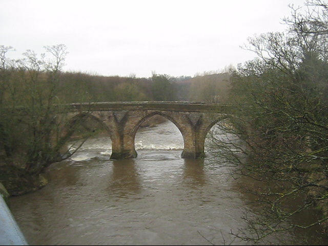
Chester New Bridge

Chester New Bridge is a Grade II* listed medieval stone bridge over the River Wear near Chester-le-Street in County Durham, England. It carries Black Drive...

Lumley Castle

Lumley Castle is a 14th-century quadrangular castle at Chester-le-Street in the North of England, near the city of Durham and a property of the Earl of...
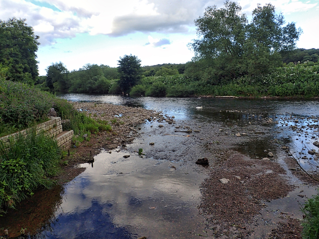
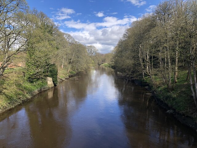
Cong Burn

The Cong Burn is a small river in County Durham, England. It has its origin in a number of streams, among them Wheatley Green Burn, that rise on the southern...

Chester-le-Street Amateur Rowing Club

Chester-le-Street Amateur Rowing Club is a rowing club on the River Wear, based at the Riverside Sports Complex, Chester-le-Street, County Durham. ��2...

Chester-le-Street

Chester-le-Street (), is a market town on Wearside in the County Durham district, in the ceremonial county of Durham, England. It is located around 6 miles...

Riverside Ground

The Riverside Ground, known for sponsorship reasons as the Seat Unique Riverside, is a cricket venue in Chester-le-Street, County Durham, England. It is...

Park View School, Chester-le-Street

Park View School is an academy and sixth form in Chester-le-Street, County Durham for students aged 11 to 18. Year 7 and 8 students spend the first two...

Nearby Amenities

Located within 500m of 54.86206,-1.5453617
Bus Stop
White House
Naptan AtcoCode: 13002332D
Naptan Bearing: SE
Naptan CommonName: White House
Naptan Indicator: south east bound
Naptan Landmark: Landmark not known
Naptan NaptanCode: duramtpm
Naptan Notes: se end of farm buidings- white house farm A183 nr chester le street
Naptan Street: A1052 Chester Road
Naptan Verified: no
Source: naptan_import
Lat/Long: 54.8594497/-1.5476058
Bus Stop
White House
Naptan AtcoCode: 13002332H
Naptan Bearing: NW
Naptan CommonName: White House
Naptan Indicator: north west bound
Naptan Landmark: Landmark not known
Naptan NaptanCode: duramtpt
Naptan Notes: se end of farm buidings- white house farm A183 nr chester le street
Naptan Street: A1052 Chester Road
Naptan Verified: no
Source: naptan_import
Lat/Long: 54.8593692/-1.5476846
The data included in this document is from www.openstreetmap.org. The data is made available under ODbL.

Have you been to Old Gardens Wood?

Leave your review of Old Gardens Wood below (or comments, questions and feedback).