Deopham

Settlement in Norfolk South Norfolk

England

Deopham

Deopham: Attleborough Road and the entrance to 'Threeways'
Deopham: Attleborough Road and the entrance to 'Threeways' Credit: Michael Garlick

Deopham is a small village located in the county of Norfolk, England. Situated approximately 10 miles southwest of the city of Norwich, it is nestled amidst the picturesque countryside of East Anglia. The village is part of the South Norfolk district and falls within the civil parish of Hackford with Whitwell.

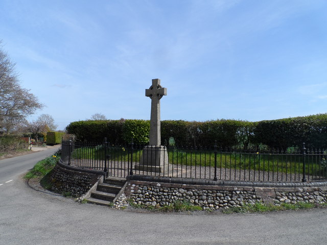
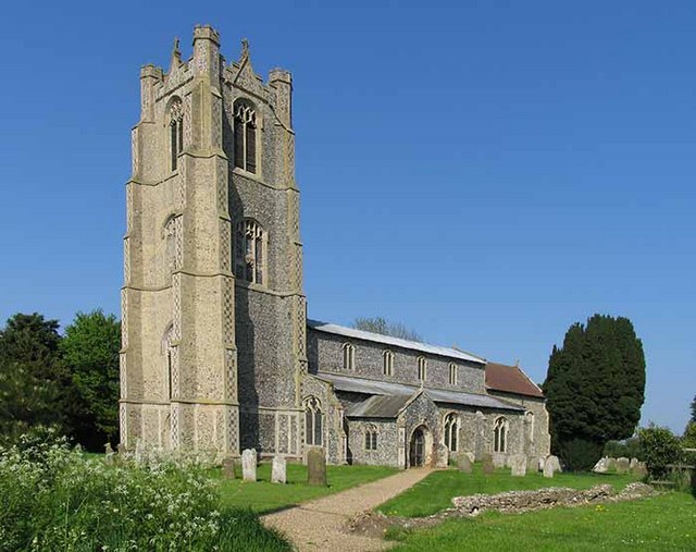
Deopham is renowned for its rich historical heritage, with evidence of human occupation dating back to the Roman period. The village is home to several notable landmarks and buildings, including the Grade I listed All Saints Church, which dates back to the 14th century. The church features a distinctive tower and beautiful stained glass windows.

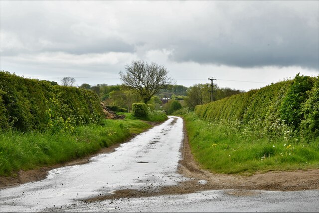
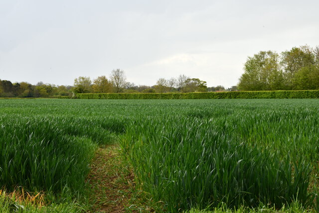
The village itself is characterized by its tranquil and idyllic setting, with rolling fields, charming cottages, and a close-knit community atmosphere. It offers a peaceful escape from the bustle of city life, making it a popular destination for those seeking a rural retreat.

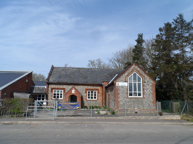
Despite its small size, Deopham is well-connected to neighboring towns and cities, with good road links and public transportation options. The village benefits from a range of amenities, including a primary school, a village hall, and a local pub, providing a sense of community and convenience for its residents.

Surrounded by natural beauty, Deopham offers ample opportunities for outdoor pursuits, such as walking, cycling, and birdwatching. The village is also within close proximity to other attractions in Norfolk, including the historic city of Norwich, the Norfolk Broads, and the stunning North Norfolk Coast.

Overall, Deopham is a charming and historic village that provides a peaceful and picturesque setting for residents and visitors alike, with its rich heritage, beautiful countryside, and strong sense of community.

If you have any feedback on the listing, please let us know in the comments section below.
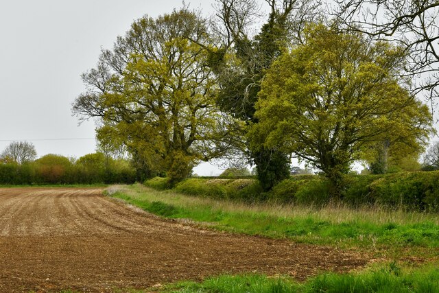
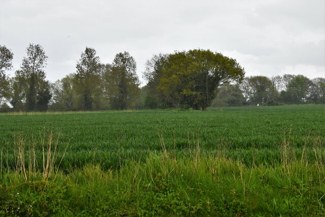
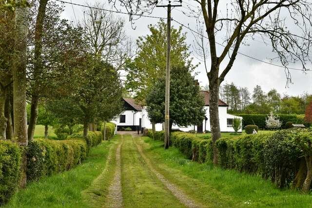
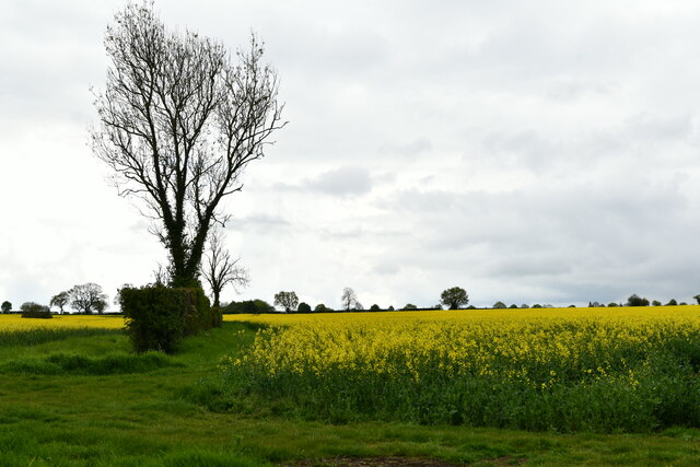
Deopham Images

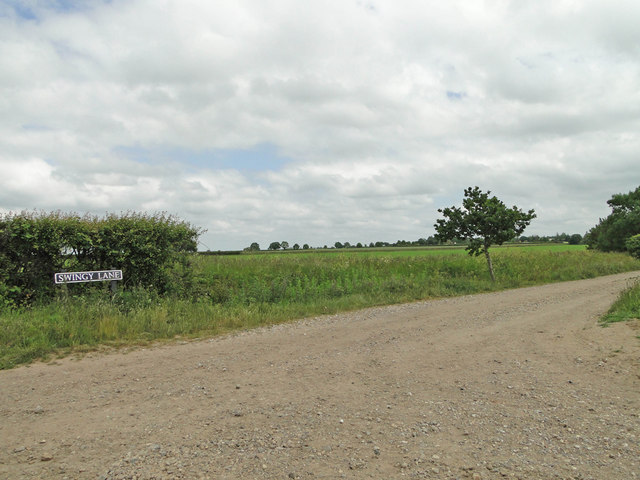
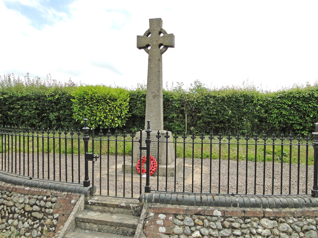
Images are sourced within 2km of 52.561726/1.022368 or Grid Reference TG0400. Thanks to Geograph Open Source API. All images are credited.

Deopham: Attleborough Road and the entrance to 'Threeways'
Morley: Ploughed field
Deopham: Cereal crop
Deopham: 'Peartree House'
Deopham: Oil seed rape crop
Morley: New Road
Morley: New Road
Morley: Cereal crop
Morley: Cereal crop
Hardstanding by Deopham Stalland This hardstanding is a fraction of the east-west runway of RAF Deopham Green.
Hardstanding by Deopham Stalland
This hardstanding is a fraction of the east-west runway of RAF Deopham Green.
Blocked farm track The track once formed part of the east-west runway of RAF Deopham Green. The fraction across the road from it was retained in the original full width and now serves as a farm hardstanding > <a title="https://www.geograph.org.uk/photo/4096309" href="https://www.geograph.org.uk/photo/4096309">Link</a>.
Blocked farm track
The track once formed part of the east-west runway of RAF Deopham Green. The fraction across the road from it was retained in the original full width and now serves as a farm hardstanding > Link.
Minor road to Deopham Stalland It follows the course of one of the runways, the original surface of which can still be seen beside the road.
Minor road to Deopham Stalland
It follows the course of one of the runways, the original surface of which can still be seen beside the road.
Part of the runway Now a hardstanding and farm track.
Part of the runway
Now a hardstanding and farm track.
Barley crop field on the old airfield The WW2 airfield, officially known as RAF Deopham Green, has long since returned to agriculture.
Barley crop field on the old airfield
The WW2 airfield, officially known as RAF Deopham Green, has long since returned to agriculture.
Crop fields on the former Deopham Green airfield The WW2 airfield has long since reverted to agriculture.
Crop fields on the former Deopham Green airfield
The WW2 airfield has long since reverted to agriculture.
Minor road to Deopham Stalland The minor road to Deopham Stalland follows the course of the north-east/south-west runway, the original surface of which can be seen beside the road.
Minor road to Deopham Stalland
The minor road to Deopham Stalland follows the course of the north-east/south-west runway, the original surface of which can be seen beside the road.
Morley primary school Note the banner (blue) (on the fencing)  with positive quotes from the last OFSTED inspection. Who ever is making these things must be doing very good business.
Morley primary school
Note the banner (blue) (on the fencing) with positive quotes from the last OFSTED inspection. Who ever is making these things must be doing very good business.
War memorial, Morley
Swingy Lane from Millhill Lane, Deopham
Morley War Memorial Nine men were lost in WW1 and a further eight in WW2.
Morley War Memorial
Nine men were lost in WW1 and a further eight in WW2.
Show me another place!

Deopham is located at Grid Ref: TG0400 (Lat: 52.561726, Lng: 1.022368)

Administrative County: Norfolk

District: South Norfolk

Police Authority: Norfolk

What 3 Words

///approach.relies.quack. Near Hingham, Norfolk

Nearby Locations

Deopham Deopham

Related Wikis

Deopham

Deopham is a village and civil parish in the English county of Norfolk. Deopham is located 3.9 miles west of Wymondham and 12 miles south-west of Norwich...

Sea Mere, Hingham

Sea Mere, Hingham is a 36.3-hectare (90-acre) biological Site of Special Scientific Interest close to the town of Hingham in Norfolk. The site has a natural...

Morley Old Hall

Morley Old Hall is a Grade I-listed moated manor house built in the sixteenth century in the village of Morley Saint Peter, some twelve miles from the...
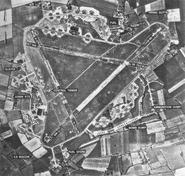
RAF Deopham Green

Royal Air Force Deopham Green or more simply RAF Deopham Green is a former Royal Air Force station located near Deopham Green 2 miles (3.2 km) north of...

Nearby Amenities

Located within 500m of 52.561726,1.022368
Entrance: main
Lat/Long: 52.5633605/1.0228133
Coldham Green
Place: hamlet
Lat/Long: 52.5626997/1.0205334
Post Box
Collection Times: Mo-Fr 09:00; Sa 07:00
Operator: Royal Mail
Post Box Mounting: pier
Post Box Type: lamp
Ref: NR18 1859D
Royal Cypher: EIIR
Royal Cypher Wikidata: Q33102113
Lat/Long: 52.5619528/1.0200924
Deopham
Man Made: village_sign
Material: wood
Lat/Long: 52.5620082/1.0201648
Bench
Backrest: yes
Colour: brown
Material: wood
Seats: 4
Lat/Long: 52.5620232/1.0200621
Public Bookcase
Deopham Community Pantry
Booth: K6
Disused Amenity: telephone
Man Made: telephone_box
Public Bookcase Type: phone_box
Lat/Long: 52.5622167/1.0222405
The data included in this document is from www.openstreetmap.org. The data is made available under ODbL.

Have you been to Deopham?

Leave your review of Deopham below (or comments, questions and feedback).