Deopham
Civil Parish in Norfolk South Norfolk
England
Deopham
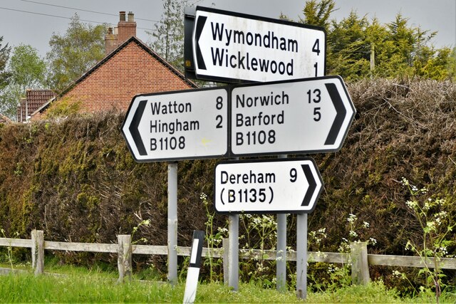
Deopham is a civil parish located in the county of Norfolk, England. Situated approximately 15 miles southwest of the city of Norwich, it falls within the district of South Norfolk. The parish covers an area of around 6 square miles and is home to a population of nearly 500 residents.
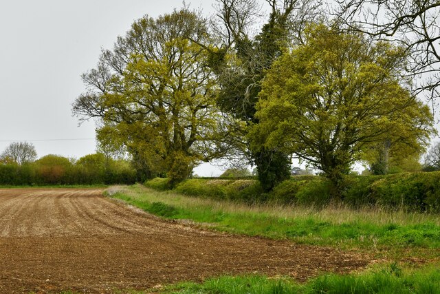
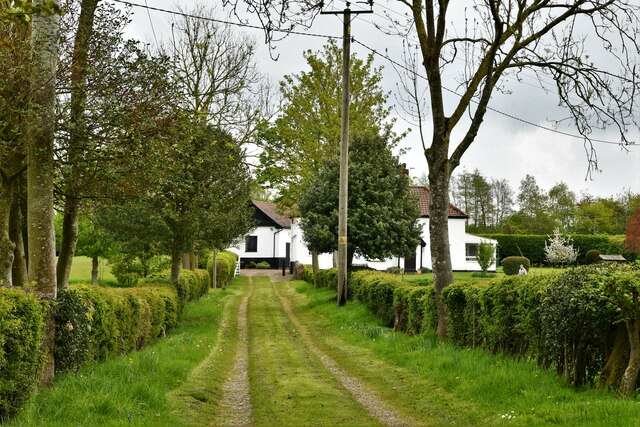
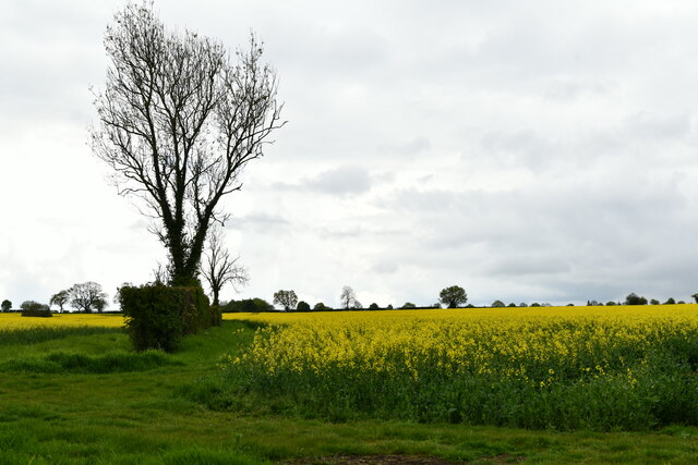
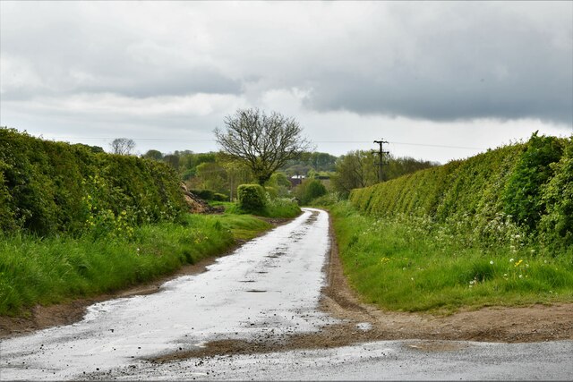
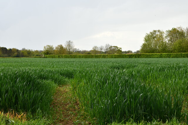
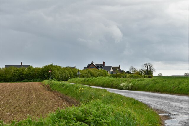
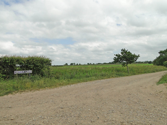
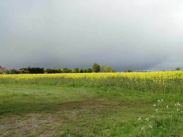
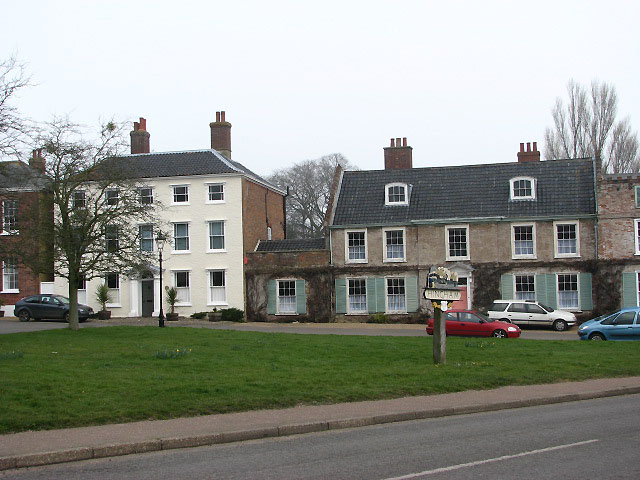
The village of Deopham is nestled within the picturesque Norfolk countryside, offering a tranquil and rural setting. It is surrounded by farmland and rolling hills, creating a scenic environment for both residents and visitors alike. The village is characterized by its traditional English architecture, with many historic buildings and charming cottages lining its streets.
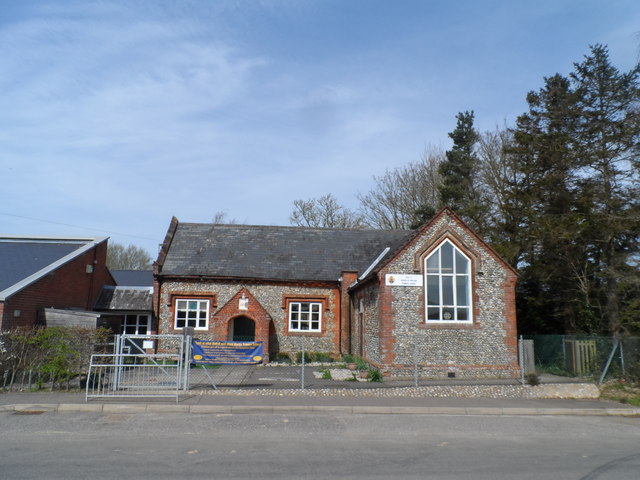
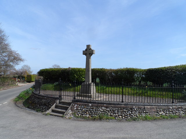
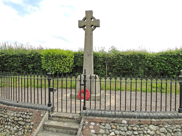
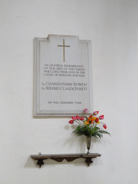
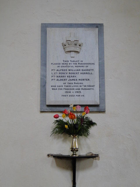
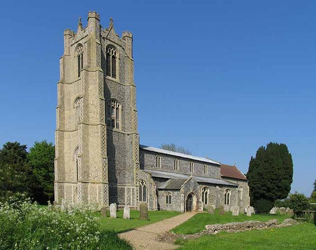
Deopham is known for its strong community spirit and friendly atmosphere. The parish has a village hall which serves as a hub for various social activities and events, fostering a sense of togetherness among its residents. Additionally, the village church, St. Andrew's, is a prominent landmark and plays a central role in the community.
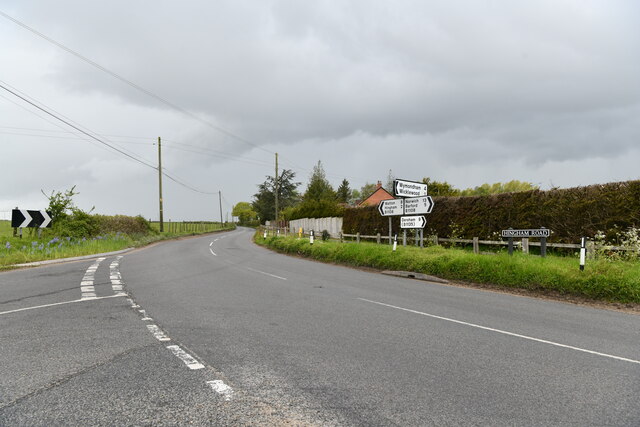
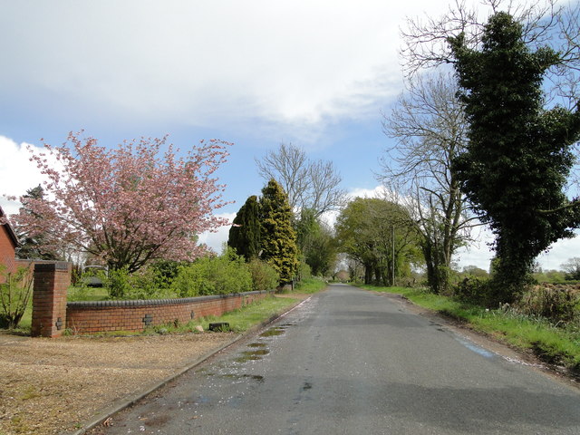
The area surrounding Deopham offers plenty of opportunities for outdoor pursuits. There are several footpaths and bridleways that crisscross the countryside, allowing for scenic walks and cycling routes. Furthermore, Deopham is located near the historic market town of Wymondham, which provides amenities such as shops, schools, and healthcare facilities.
Overall, Deopham is a charming and close-knit community, providing a peaceful and idyllic rural lifestyle for its residents. Its beautiful surroundings and strong sense of community make it an attractive place to live and visit.
If you have any feedback on the listing, please let us know in the comments section below.
Deopham Images
Images are sourced within 2km of 52.566817/1.022674 or Grid Reference TG0400. Thanks to Geograph Open Source API. All images are credited.


Deopham is located at Grid Ref: TG0400 (Lat: 52.566817, Lng: 1.022674)
Administrative County: Norfolk
District: South Norfolk
Police Authority: Norfolk
What 3 Words
///hotel.easily.former. Near Hingham, Norfolk
Related Wikis
Deopham
Deopham is a village and civil parish in the English county of Norfolk. Deopham is located 3.9 miles west of Wymondham and 12 miles south-west of Norwich...

Sea Mere, Hingham
Sea Mere, Hingham is a 36.3-hectare (90-acre) biological Site of Special Scientific Interest close to the town of Hingham in Norfolk.The site has a natural...

Morley Old Hall
Morley Old Hall is a Grade I-listed moated manor house built in the sixteenth century in the village of Morley Saint Peter, some twelve miles from the...

Morley Saint Botolph
Morley Saint Botolph is a village and former civil parish, now in the parish of Morley, in the South Norfolk district, in the county of Norfolk, England...
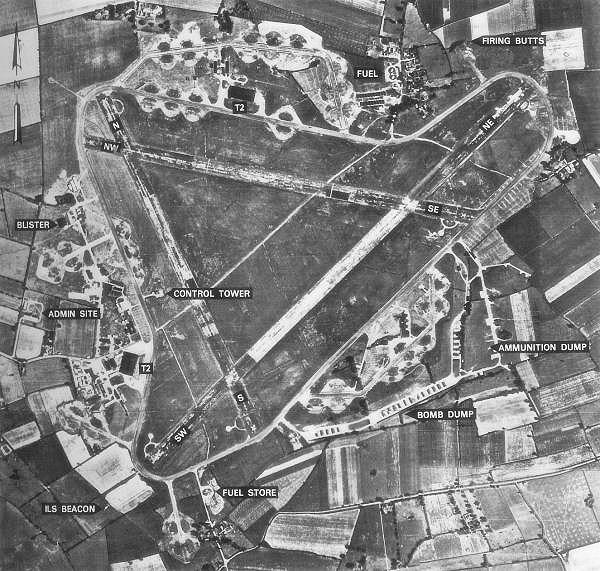
RAF Deopham Green
Royal Air Force Deopham Green or more simply RAF Deopham Green is a former Royal Air Force station located near Deopham Green 2 miles (3.2 km) north of...
Morley, Norfolk
Morley is a civil parish in the South Norfolk district, in the county of Norfolk, England. It includes the villages of Morley St Botolph and Morley St...

Wicklewood
Wicklewood is a village and civil parish in the South Norfolk district of Norfolk, England. It is located 11 miles (18 km) west of Norwich next to the...
Hingham, Norfolk
Hingham is a market town and civil parish in mid-Norfolk, England. The civil parish covers an area of 14.98 km2 (5.78 sq mi) and had a population of 2...
Nearby Amenities
Located within 500m of 52.566817,1.022674Have you been to Deopham?
Leave your review of Deopham below (or comments, questions and feedback).