Deopham Green
Settlement in Norfolk South Norfolk
England
Deopham Green

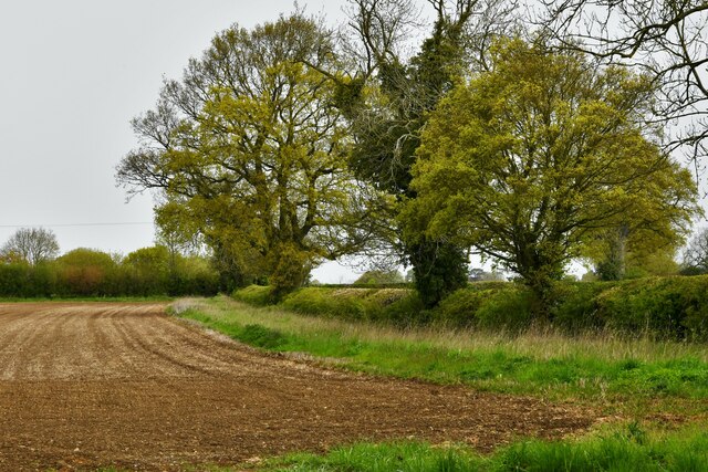
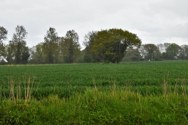
Deopham Green is a small village located in the county of Norfolk, England. Situated approximately 15 miles southwest of the city of Norwich, it is part of the Breckland district. The village is nestled amidst picturesque countryside, offering a tranquil and idyllic setting for its residents and visitors.
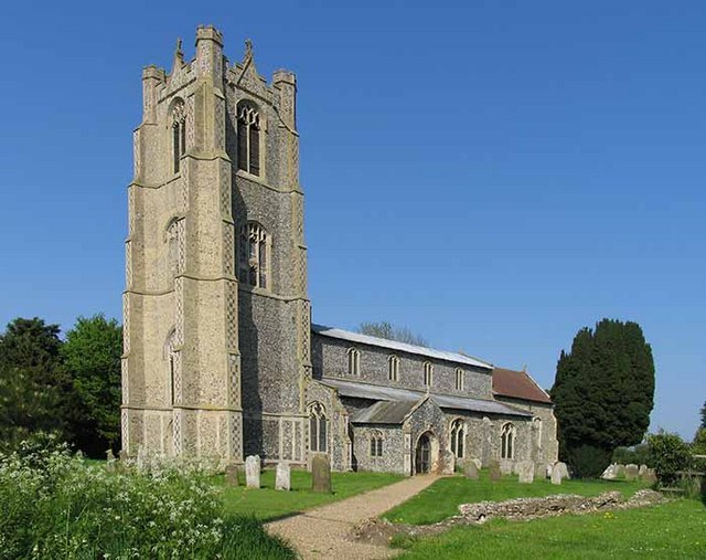
The history of Deopham Green can be traced back to medieval times, with evidence of human settlement dating back to the 12th century. The village retains much of its traditional charm, with a number of historic buildings, including the Grade II listed St. Andrews Church, which dates back to the 14th century.
The village is primarily residential, with a small but close-knit community. The residents enjoy a peaceful and friendly atmosphere, and there is a strong sense of community spirit within the village. The surrounding countryside provides ample opportunities for outdoor activities such as walking, cycling, and horse riding.
Deopham Green is also well-connected to nearby towns and cities, with good road links to Norwich and other major towns in the region. The village is served by regular bus services, providing easy access to the wider area.
Although a small village, Deopham Green benefits from a range of amenities, including a local pub, a village hall, and a community shop. Additionally, the nearby town of Wymondham, just a short drive away, offers a wider range of amenities including supermarkets, shops, and leisure facilities.
Overall, Deopham Green offers a peaceful and charming village lifestyle, with access to the beautiful Norfolk countryside and the convenience of nearby towns.
If you have any feedback on the listing, please let us know in the comments section below.
Deopham Green Images
Images are sourced within 2km of 52.552287/1.010579 or Grid Reference TM0499. Thanks to Geograph Open Source API. All images are credited.


Deopham Green is located at Grid Ref: TM0499 (Lat: 52.552287, Lng: 1.010579)
Administrative County: Norfolk
District: South Norfolk
Police Authority: Norfolk
What 3 Words
///remover.suits.profile. Near Hingham, Norfolk
Nearby Locations
Related Wikis
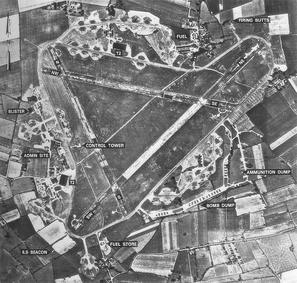
RAF Deopham Green
Royal Air Force Deopham Green or more simply RAF Deopham Green is a former Royal Air Force station located near Deopham Green 2 miles (3.2 km) north of...

Morley Old Hall
Morley Old Hall is a Grade I-listed moated manor house built in the sixteenth century in the village of Morley Saint Peter, some twelve miles from the...
Deopham
Deopham is a village and civil parish in the English county of Norfolk. Deopham is located 3.9 miles west of Wymondham and 12 miles south-west of Norwich...

Sea Mere, Hingham
Sea Mere, Hingham is a 36.3-hectare (90-acre) biological Site of Special Scientific Interest close to the town of Hingham in Norfolk. The site has a natural...
Nearby Amenities
Located within 500m of 52.552287,1.010579Have you been to Deopham Green?
Leave your review of Deopham Green below (or comments, questions and feedback).