Virginia Wood

Wood, Forest in Durham

England

Virginia Wood

Beneath Chartershaugh Bridge The bridge carries the A182 Washington Highway across the River Wear.
Beneath Chartershaugh Bridge Credit: David Robinson

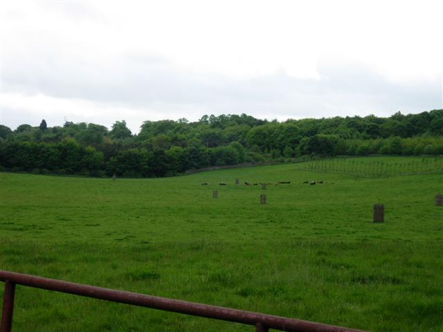
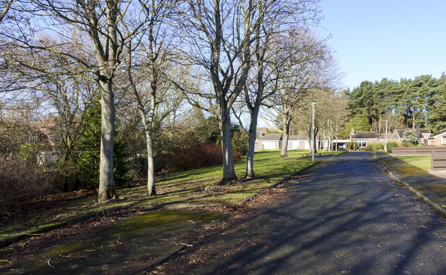
Virginia Wood is a large forested area located in the city of Durham, in the county of Durham, England. It covers an approximate area of 200 acres and is a popular destination for nature enthusiasts and outdoor recreation.

The wood is predominantly composed of mixed woodland, featuring a variety of tree species such as oak, beech, and birch. This diverse vegetation creates a rich and vibrant ecosystem, providing a habitat for numerous wildlife species including birds, mammals, and insects.

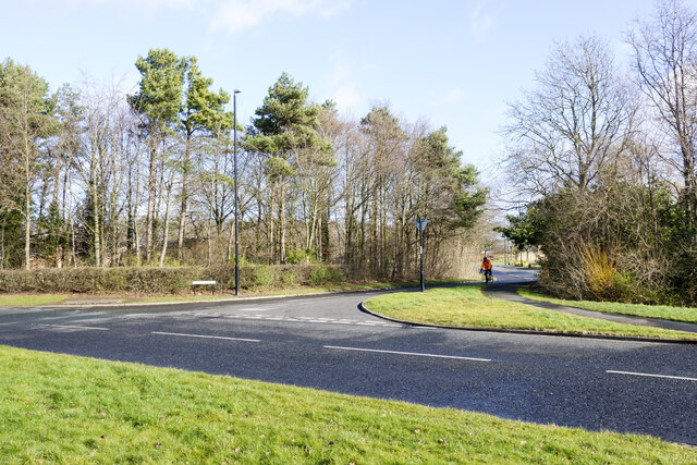
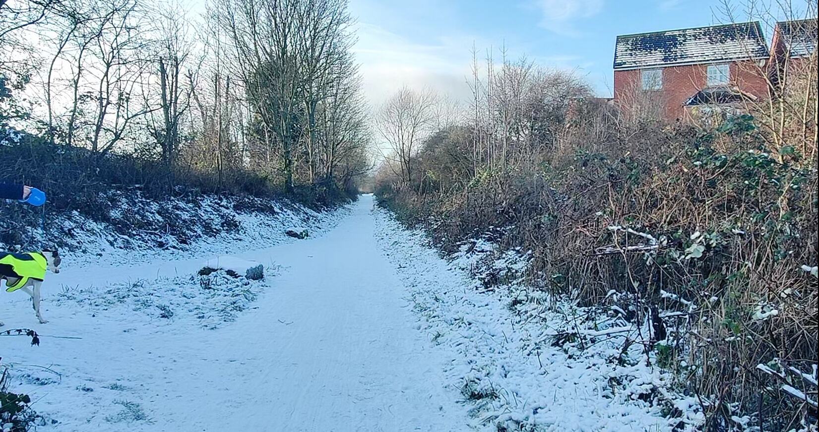
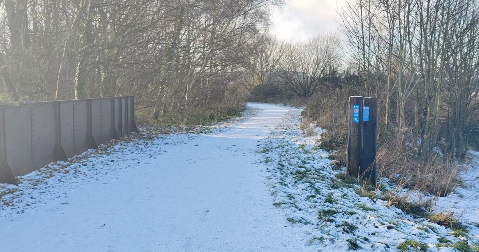
There are several well-maintained walking trails that wind through the wood, allowing visitors to explore and enjoy the natural beauty of the area. These paths are suitable for all levels of fitness, ranging from easy strolls to more challenging hikes.

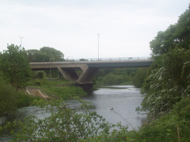
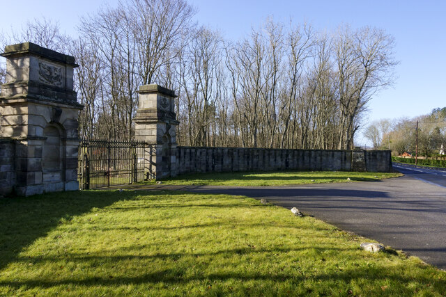
In addition to its natural beauty, Virginia Wood also holds historical significance. It is believed that the wood has been in existence for centuries and has witnessed various human activities throughout its history. Some remnants of old structures, such as walls and ditches, can still be seen within the wood, serving as reminders of its past.

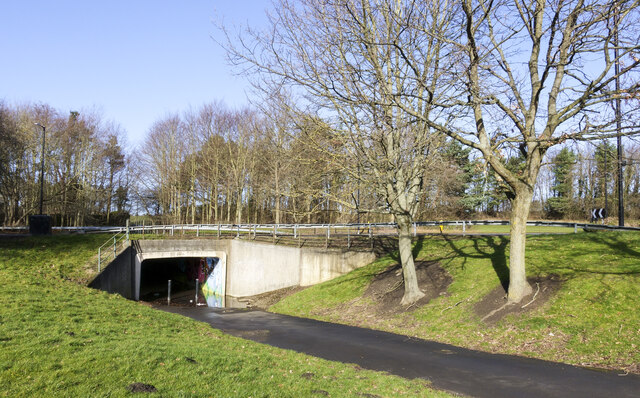
The wood is easily accessible and provides ample parking facilities for visitors. It is a popular spot for family outings, dog-walking, and picnics. The peaceful and tranquil atmosphere of Virginia Wood makes it an ideal place for individuals seeking a break from the hustle and bustle of city life.

Overall, Virginia Wood in Durham offers a wonderful opportunity to connect with nature, explore a diverse woodland, and enjoy outdoor activities in a serene environment.

If you have any feedback on the listing, please let us know in the comments section below.

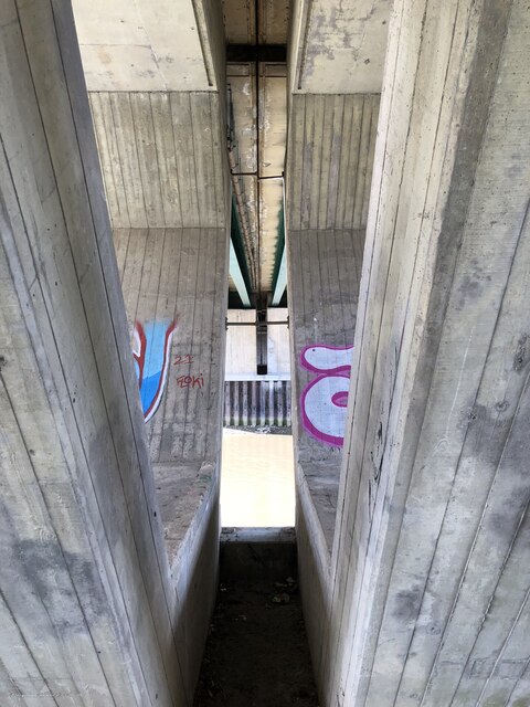
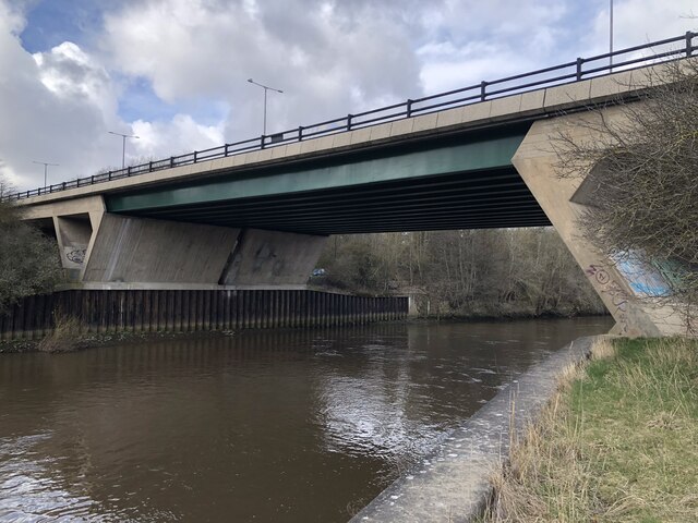
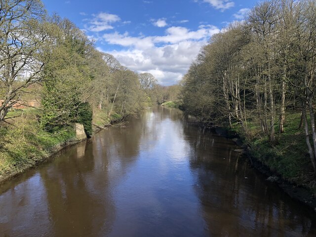
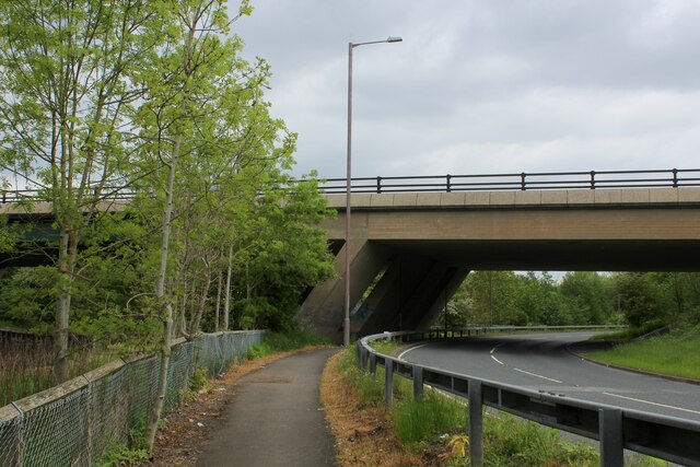
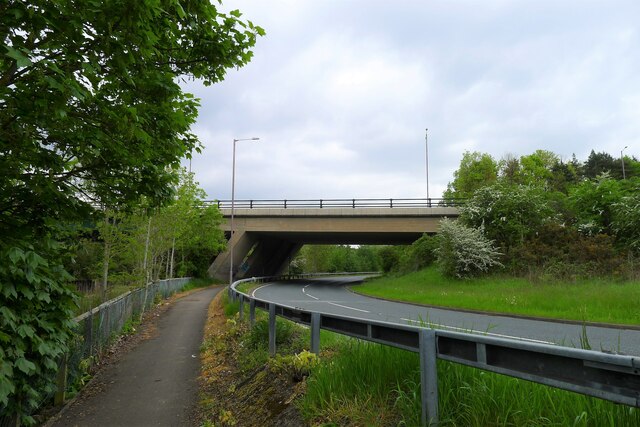
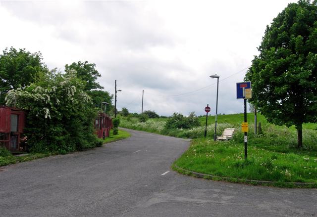
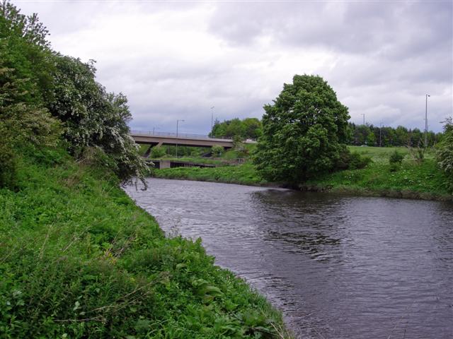
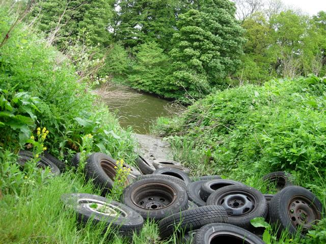
Virginia Wood Images

Images are sourced within 2km of 54.871356/-1.5489191 or Grid Reference NZ2953. Thanks to Geograph Open Source API. All images are credited.

Beneath Chartershaugh Bridge The bridge carries the A182 Washington Highway across the River Wear.
Beneath Chartershaugh Bridge
The bridge carries the A182 Washington Highway across the River Wear.
Chartershaugh Bridge The bridge carries the A182 Washington Highway across the River Wear.
Chartershaugh Bridge
The bridge carries the A182 Washington Highway across the River Wear.
River Wear from the New Bridge, Lambton Park
Weardale Way approaching Chartershaugh Bridge The bridge carries the A182 over the River Wear
Weardale Way approaching Chartershaugh Bridge
The bridge carries the A182 over the River Wear
Approaching Chartershaugh Bridge Built in 1975 to carry the A182 dual carriageway over the River Wear <span class="nowrap"><a title="https://www.bridgesonthetyne.co.uk/charters.html" rel="nofollow ugc noopener" href="https://www.bridgesonthetyne.co.uk/charters.html">Link</a><img style="margin-left:2px;" alt="External link" title="External link - shift click to open in new window" src="https://s1.geograph.org.uk/img/external.png" width="10" height="10"/></span>. Named after a nearby mining settlement - originally 'Chaytor’s Haugh'. Chaytor were a prominent mine-owning family, and 'haugh' an area of flat riverside land <span class="nowrap"><a title="https://www.sunderlandecho.com/heritage-and-retro/heritage/the-stories-behind-washingtons-many-place-names-with-areas-called-after-scotland-and-mrs-uncle-sam-3140225" rel="nofollow ugc noopener" href="https://www.sunderlandecho.com/heritage-and-retro/heritage/the-stories-behind-washingtons-many-place-names-with-areas-called-after-scotland-and-mrs-uncle-sam-3140225">Link</a><img style="margin-left:2px;" alt="External link" title="External link - shift click to open in new window" src="https://s1.geograph.org.uk/img/external.png" width="10" height="10"/></span>.
Approaching Chartershaugh Bridge
Built in 1975 to carry the A182 dual carriageway over the River Wear LinkExternal link. Named after a nearby mining settlement - originally 'Chaytor’s Haugh'. Chaytor were a prominent mine-owning family, and 'haugh' an area of flat riverside land LinkExternal link.
No Entry signs bar entry to the Lambton Estate Rather incongruously stuck on the outskirts of Washington is the estate (and castle!) of Lord Lambton.  Although bits have been sold off over the years, it still occupies an area of around 3 km2.  Here at the Eastern end the road leads into the estate but No Entry signs bar the way.
No Entry signs bar entry to the Lambton Estate
Rather incongruously stuck on the outskirts of Washington is the estate (and castle!) of Lord Lambton. Although bits have been sold off over the years, it still occupies an area of around 3 km2. Here at the Eastern end the road leads into the estate but No Entry signs bar the way.
Bridge over the River Wear The dual carriageway running North-South through Washington (the Washington Highway) crosses the River Wear here.  Constructed in the 1970s.
Bridge over the River Wear
The dual carriageway running North-South through Washington (the Washington Highway) crosses the River Wear here. Constructed in the 1970s.
Old car wheels dumped by the River Wear Much effort goes into improving the environment in this area.  But the fly tippers continue ...
Old car wheels dumped by the River Wear
Much effort goes into improving the environment in this area. But the fly tippers continue ...
Cattle in a field on Lord Lambton's Estate
St. George's Church
St. George's Church
Rowan avenue
Rowan avenue
Chartershaugh Bridge Opened 1975, crossing the River Wear.
Chartershaugh Bridge
Opened 1975, crossing the River Wear.
Benchmark on bridge Benchmark on left bottom of Lumley dene bridge
Benchmark on bridge
Benchmark on left bottom of Lumley dene bridge
Blind Lane Blind Lane is in Chester-Le-Street; it lies north of and parallel to the A693; the road is residential and has detached bungalows. Being a cul-de-sac it's aptly named - perhaps for that very reason.
Blind Lane
Blind Lane is in Chester-Le-Street; it lies north of and parallel to the A693; the road is residential and has detached bungalows. Being a cul-de-sac it's aptly named - perhaps for that very reason.
Arc of wall with gates The wide arc of walling with imposing gateposts but rather less grand gates at the northern access point to the parkland at Lambton Castle. The opening is from Bonemeal Lane.
Arc of wall with gates
The wide arc of walling with imposing gateposts but rather less grand gates at the northern access point to the parkland at Lambton Castle. The opening is from Bonemeal Lane.
Underpass beneath Bonemill Lane The underpass has a broad tarmacked way passing through it but obstructing posts show that it's not intended for general use by vehicles. It was also flooded at the time the image was made.
Underpass beneath Bonemill Lane
The underpass has a broad tarmacked way passing through it but obstructing posts show that it's not intended for general use by vehicles. It was also flooded at the time the image was made.
Road junction at Vigo Lane The junction is effectively a staggered crossroads. Rickleton Way is in the foreground, Vigo Lane is opposite and it continues behind the camera position.
Road junction at Vigo Lane
The junction is effectively a staggered crossroads. Rickleton Way is in the foreground, Vigo Lane is opposite and it continues behind the camera position.
Flats and shops at centre of Rickleton A tarmacked area with raised, brick-built shrubbery beds at the centre of the development in Rickleton
Flats and shops at centre of Rickleton
A tarmacked area with raised, brick-built shrubbery beds at the centre of the development in Rickleton
Show me another place!

Virginia Wood is located at Grid Ref: NZ2953 (Lat: 54.871356, Lng: -1.5489191)

Unitary Authority: County Durham

Police Authority: Durham

What 3 Words

///herb.action.print. Near Chester-le-Street, Co. Durham

Related Wikis

Rickleton

Rickleton is an area of Washington, in the City of Sunderland metropolitan borough in Tyne and Wear, England. It is located on the south side of Washington...

Lambton Castle

Lambton Castle stands above Chester-le-Street, County Durham and is a stately home, the ancestral seat of the Lambton family, the Earls of Durham. It is...
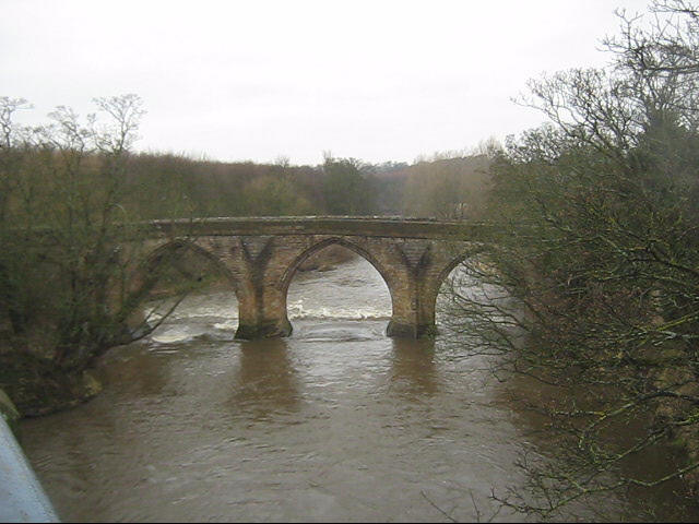
Chester New Bridge

Chester New Bridge is a Grade II* listed medieval stone bridge over the River Wear near Chester-le-Street in County Durham, England. It carries Black Drive...

Fatfield

Fatfield is an area of Washington, in the City of Sunderland metropolitan borough in Tyne and Wear, England. == Description == Fatfield is an area of Washington...

Vigo railway station (England)

Vigo railway station served the Barley Mow and Vigo areas of the town of Birtley in Tyne and Wear (historically County Durham) in England. The station...

Harraton

Harraton is a suburb of Washington, in the City of Sunderland metropolitan borough, in Tyne and Wear, England. Harraton is near the River Wear and is 3...

North Lodge

North Lodge is a civil parish in County Durham, England. The parish covers an area lying to the north of the town of Chester-le-Street, and includes Lambton...

Durham Turnpike railway station

Durham Turnpike railway station served the towns of Birtley (historically County Durham, now Tyne and Wear) and Chester-le-Street as well as the village...

Have you been to Virginia Wood?

Leave your review of Virginia Wood below (or comments, questions and feedback).