Rickleton Wood
Wood, Forest in Durham
England
Rickleton Wood
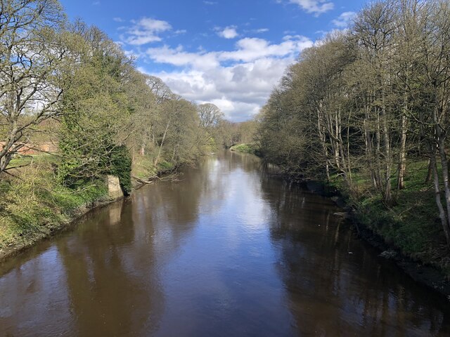
Rickleton Wood is a charming woodland located in Durham, England. The wood covers an area of approximately 15 acres and is nestled within the beautiful landscape of the North East countryside. It is a popular destination for nature enthusiasts, walkers, and families seeking a peaceful retreat.
The wood is predominantly made up of native tree species such as oak, birch, and beech. These majestic trees provide a stunning canopy that filters the sunlight, creating a tranquil and shaded environment. The woodland floor is adorned with a variety of wildflowers, ferns, and mosses, adding to its natural beauty.
Rickleton Wood is home to a diverse range of wildlife, including birds, mammals, and insects. Visitors may be lucky enough to spot species such as woodpeckers, deer, and squirrels as they explore the wood's well-marked trails. The wood also features a small pond, which attracts a variety of aquatic creatures, including frogs and newts.
The wood is well-maintained and offers a network of footpaths and bridleways, making it accessible to walkers of all abilities. There are picnic areas and benches scattered throughout the wood, providing the perfect opportunity for visitors to relax and enjoy the peaceful surroundings.
Rickleton Wood is open to the public year-round and is free to access. It is located within close proximity to residential areas, making it easily accessible by foot or car. The wood offers a wonderful escape from the hustle and bustle of everyday life and provides a haven for those seeking a connection with nature.
If you have any feedback on the listing, please let us know in the comments section below.
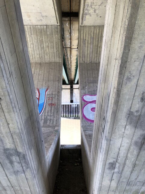
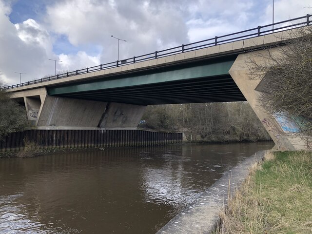
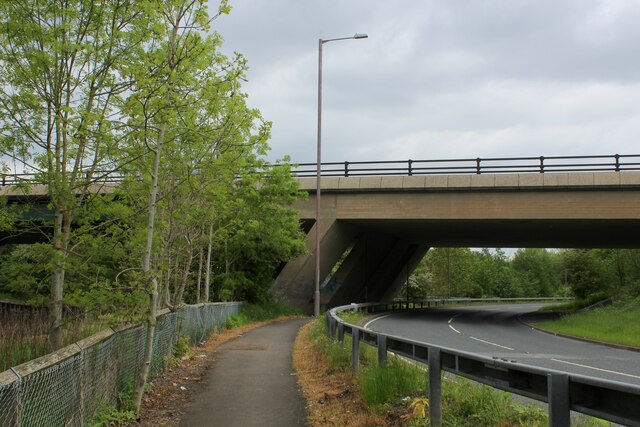
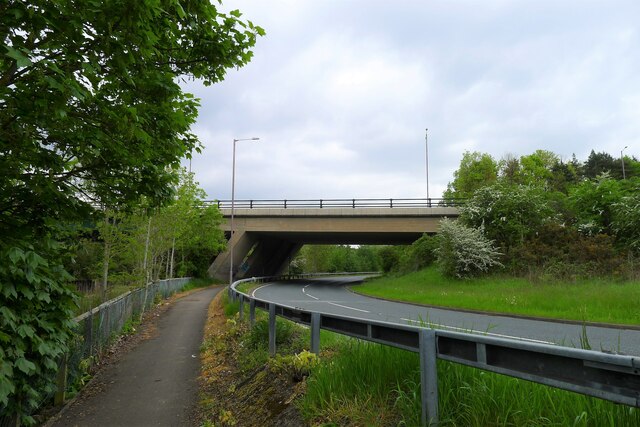
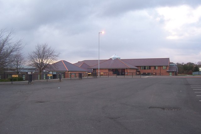
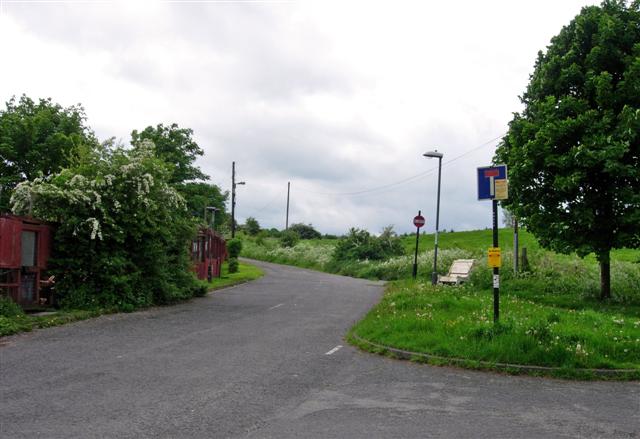
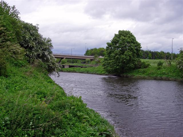
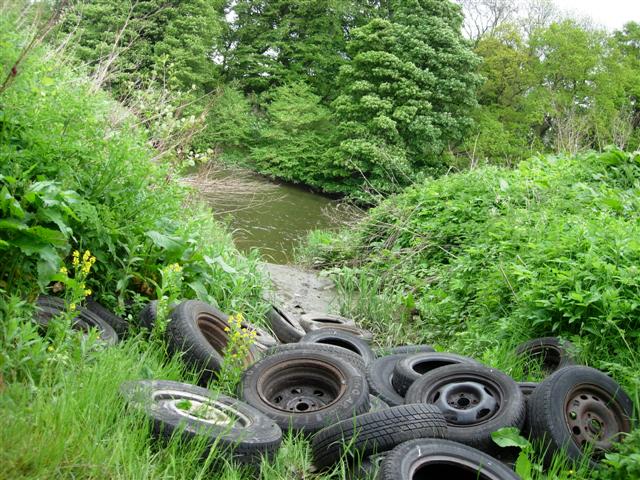
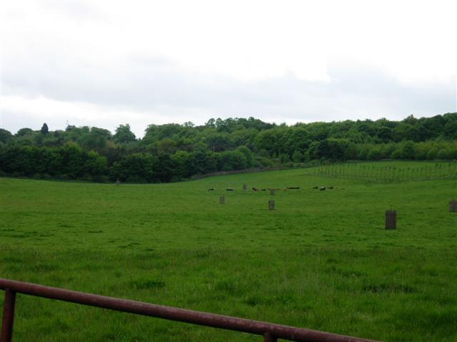
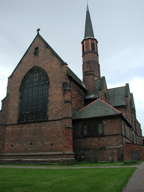
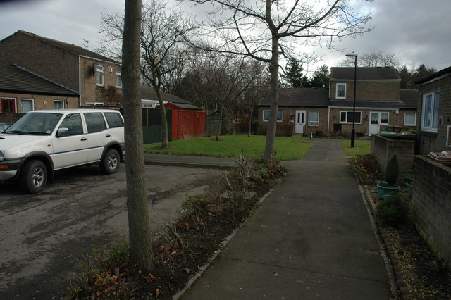
Rickleton Wood Images
Images are sourced within 2km of 54.872212/-1.544671 or Grid Reference NZ2953. Thanks to Geograph Open Source API. All images are credited.


Rickleton Wood is located at Grid Ref: NZ2953 (Lat: 54.872212, Lng: -1.544671)
Unitary Authority: County Durham
Police Authority: Durham
What 3 Words
///moon.margin.area. Near Chester-le-Street, Co. Durham
Nearby Locations
Related Wikis

Lambton Castle
Lambton Castle stands above Chester-le-Street, County Durham and is a stately home, the ancestral seat of the Lambton family, the Earls of Durham. It is...

Rickleton
Rickleton is an area of Washington, in the City of Sunderland metropolitan borough in Tyne and Wear, England. It is located on the south side of Washington...

Fatfield
Fatfield is an area of Washington, in the City of Sunderland metropolitan borough in Tyne and Wear, England. == Description == Fatfield is an area of Washington...

Harraton
Harraton is a suburb of Washington, in the City of Sunderland metropolitan borough, in Tyne and Wear, England. Harraton is near the River Wear and is 3...
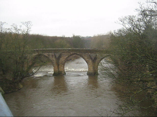
Chester New Bridge
Chester New Bridge is a Grade II* listed medieval stone bridge over the River Wear near Chester-le-Street in County Durham, England. It carries Black Drive...
Vigo railway station (England)
Vigo railway station served the Barley Mow and Vigo areas of the town of Birtley in Tyne and Wear (historically County Durham) in England. The station...
Fatfield Woods
Fatfield Woods is a woodland in Tyne and Wear, England, near Washington. It covers a total area of 8.99 hectares (22.21 acres). It is owned and managed...
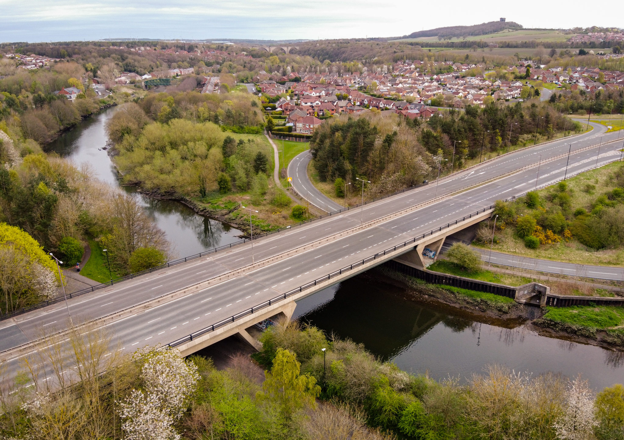
Chartershaugh Bridge
Chartershaugh Bridge is a road traffic bridge spanning the River Wear in North East England, linking Penshaw with Fatfield as part of the A182 road. The...
Nearby Amenities
Located within 500m of 54.872212,-1.544671Have you been to Rickleton Wood?
Leave your review of Rickleton Wood below (or comments, questions and feedback).