Limekiln Wood
Wood, Forest in Yorkshire Harrogate
England
Limekiln Wood
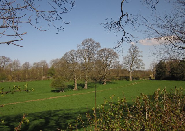
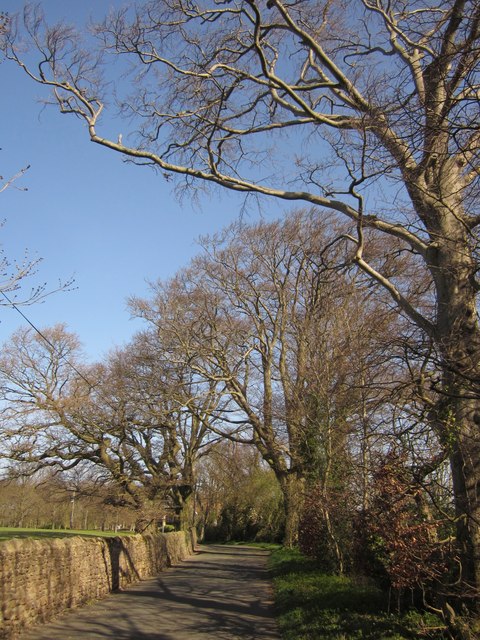
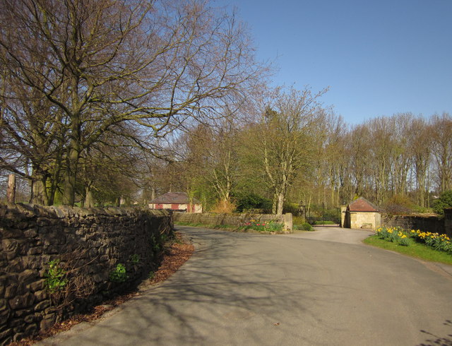
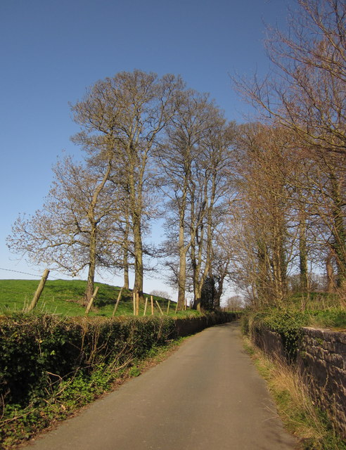
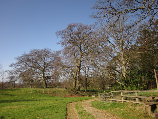
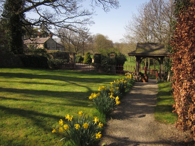
Limekiln Wood, located in the picturesque county of Yorkshire, is a stunning forest that spans across several acres of lush greenery and serene landscapes. This enchanting woodland, nestled amidst the rolling hills and meandering streams, offers a haven of tranquility for nature lovers and outdoor enthusiasts alike.
The wood got its name from the remnants of a limekiln, a historic structure used to produce lime, which still stands as a testament to the area's past. The wood is primarily composed of a variety of native trees, including oak, beech, and birch, creating a diverse and thriving ecosystem that supports a wide range of flora and fauna.
Visitors to Limekiln Wood can enjoy a multitude of activities, such as hiking along the well-maintained trails that wind through the forest. The paths offer breathtaking views of the surrounding countryside and provide opportunities to spot wildlife like deer, rabbits, and a myriad of bird species.
For those seeking a peaceful retreat, Limekiln Wood offers several secluded picnic areas where visitors can relax and immerse themselves in the natural beauty of the surroundings. The wood is also a popular destination for nature photography and is often featured in local exhibitions and publications.
Limekiln Wood is easily accessible by car, with ample parking facilities available nearby. The forest is well-maintained by local authorities, ensuring a safe and enjoyable experience for all visitors. Whether you are seeking adventure, tranquility, or simply a connection with nature, Limekiln Wood is a must-visit destination in Yorkshire.
If you have any feedback on the listing, please let us know in the comments section below.
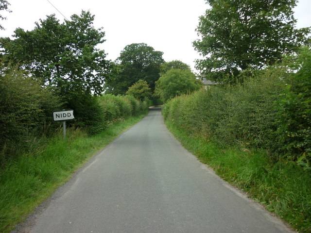
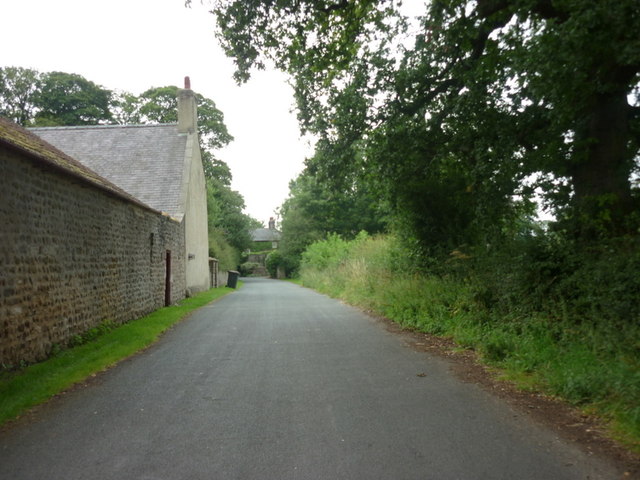
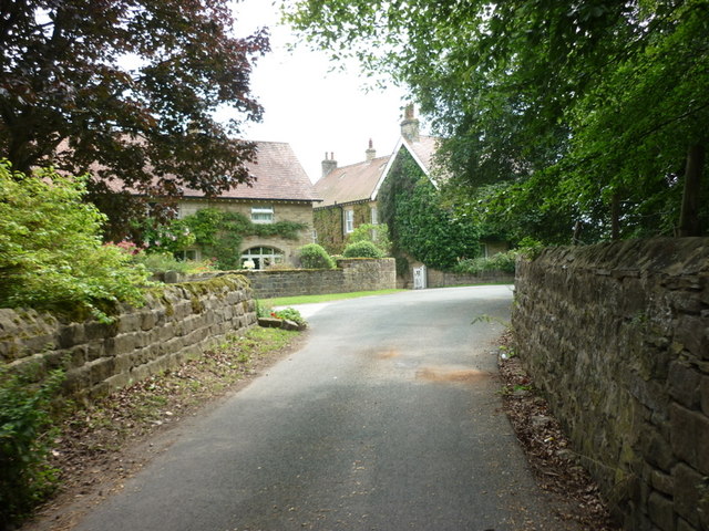
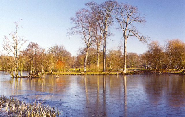
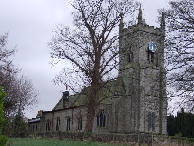
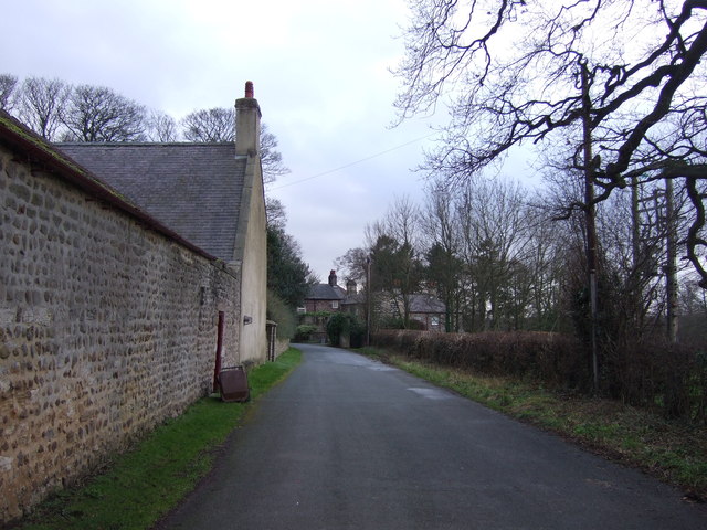
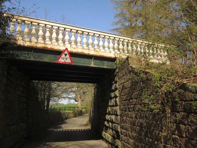
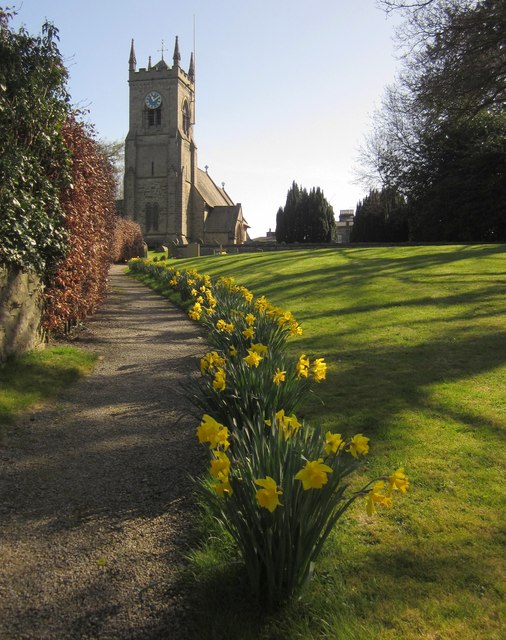
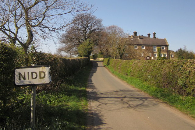
Limekiln Wood Images
Images are sourced within 2km of 54.033382/-1.558048 or Grid Reference SE2959. Thanks to Geograph Open Source API. All images are credited.


Limekiln Wood is located at Grid Ref: SE2959 (Lat: 54.033382, Lng: -1.558048)
Division: West Riding
Administrative County: North Yorkshire
District: Harrogate
Police Authority: North Yorkshire
What 3 Words
///jumbo.removes.expect. Near Harrogate, North Yorkshire
Nearby Locations
Related Wikis
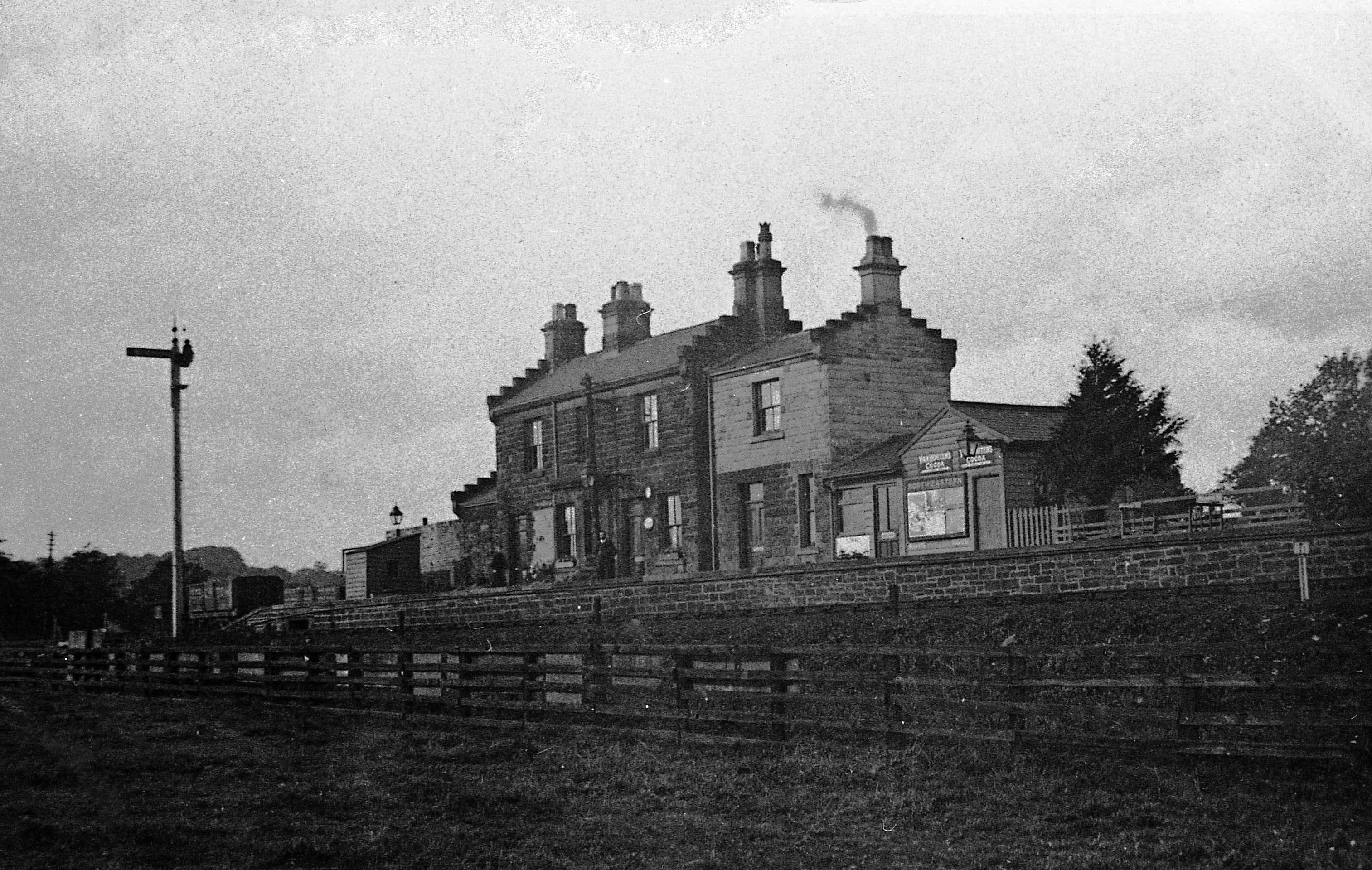
Ripley Valley railway station
Ripley Valley railway station served the villages of Killinghall and Ripley, North Yorkshire, England from 1862 to 1951 on the Nidd Valley Railway. �...

Nidderdale Greenway
The Nidderdale Greenway is a 4-mile (6.4 km) path that runs between Harrogate and Ripley in North Yorkshire, England. It uses a former railway line that...
Nidd Bridge railway station
Nidd Bridge railway station served the village of Nidd, North Yorkshire, England from 1848 to 1964 on the Leeds-Northallerton Railway. == History == The...

Ripley Town Hall, North Yorkshire
Ripley Town Hall is a municipal building in Main Street, Ripley, North Yorkshire, England. The structure, which is used as an events venue and as a post...
Nearby Amenities
Located within 500m of 54.033382,-1.558048Have you been to Limekiln Wood?
Leave your review of Limekiln Wood below (or comments, questions and feedback).