Slade Plantation
Wood, Forest in Derbyshire South Derbyshire
England
Slade Plantation

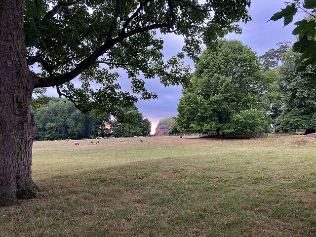
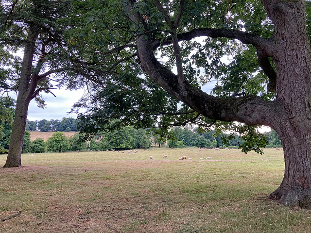
Slade Plantation is a picturesque woodland area located in Derbyshire, England. Situated within the heart of the county, this sprawling plantation covers a vast expanse of land and is renowned for its natural beauty and rich biodiversity. The plantation is predominantly composed of dense woodlands and flourishing forests, making it a haven for nature enthusiasts and explorers.
The woodland area of Slade Plantation is teeming with a diverse range of plant and animal species, making it an ideal spot for wildlife observation and ecological studies. Towering trees such as oak, beech, and ash dominate the landscape, creating a breathtaking canopy that provides shade and shelter for the various creatures that inhabit the area.
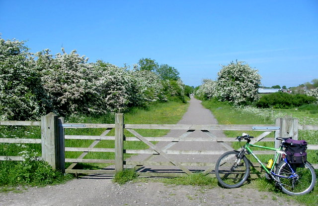
Visitors to Slade Plantation can enjoy a multitude of outdoor activities such as hiking, birdwatching, and nature photography. The plantation boasts several well-maintained trails that meander through the woods, allowing visitors to immerse themselves in the tranquility and serenity of the surroundings. The peaceful atmosphere and the enchanting sounds of chirping birds and rustling leaves create an idyllic setting for relaxation and contemplation.
The management of Slade Plantation is dedicated to preserving the natural integrity of the area. The plantation is carefully maintained to ensure the sustainability of its ecosystem, with regular efforts made to control invasive species and promote the growth of native flora. Additionally, educational programs and guided tours are offered to visitors, providing a deeper understanding of the plantation's ecological significance and promoting environmental awareness.
In conclusion, Slade Plantation in Derbyshire is a captivating woodland area that offers a unique opportunity to reconnect with nature. Its lush forests, diverse wildlife, and well-preserved trails make it a must-visit destination for anyone seeking a peaceful retreat into the natural world.
If you have any feedback on the listing, please let us know in the comments section below.
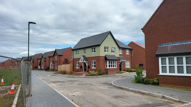
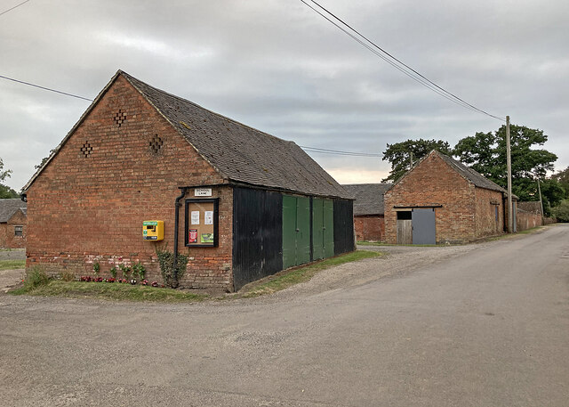
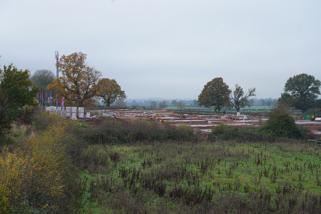
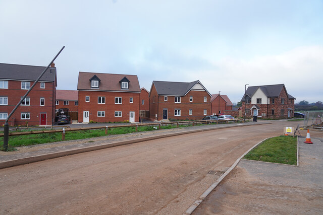
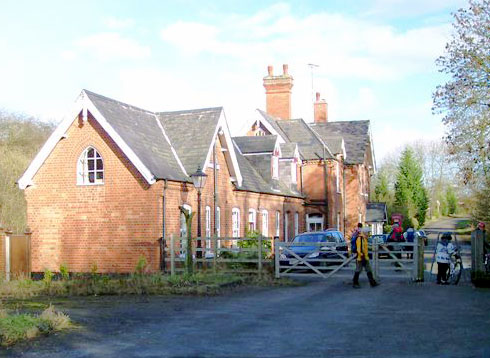
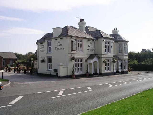
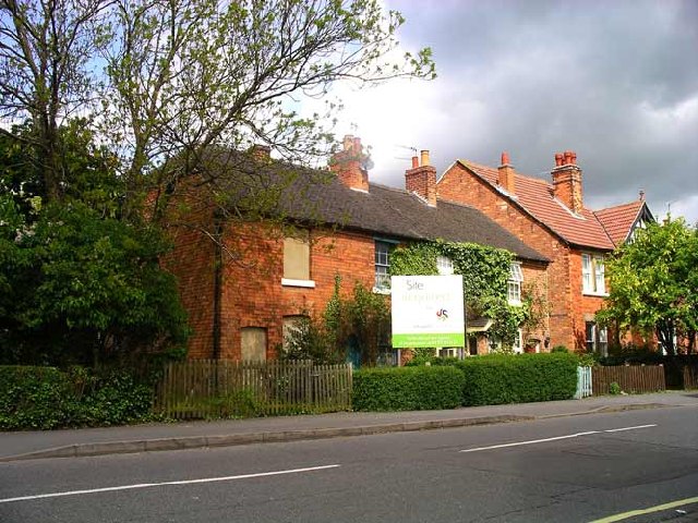
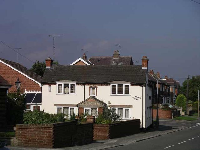
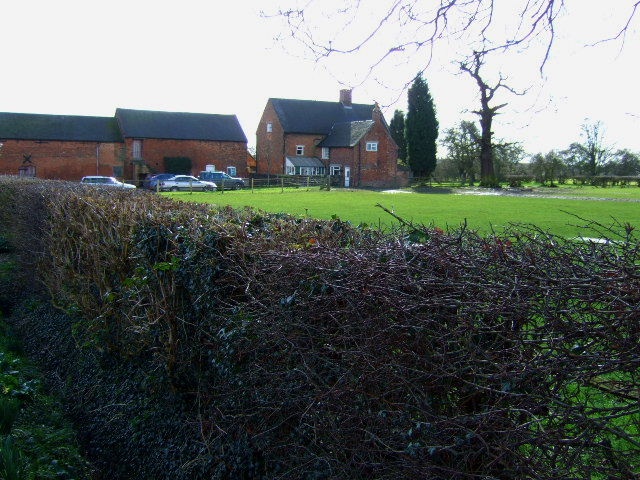
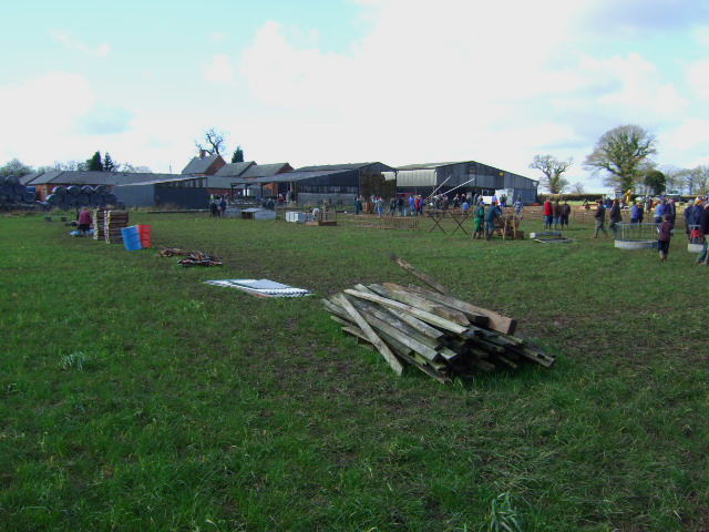
Slade Plantation Images
Images are sourced within 2km of 52.915002/-1.5698525 or Grid Reference SK2935. Thanks to Geograph Open Source API. All images are credited.


Slade Plantation is located at Grid Ref: SK2935 (Lat: 52.915002, Lng: -1.5698525)
Administrative County: Derbyshire
District: South Derbyshire
Police Authority: Derbyshire
What 3 Words
///aims.card.soon. Near Etwall, Derbyshire
Nearby Locations
Related Wikis
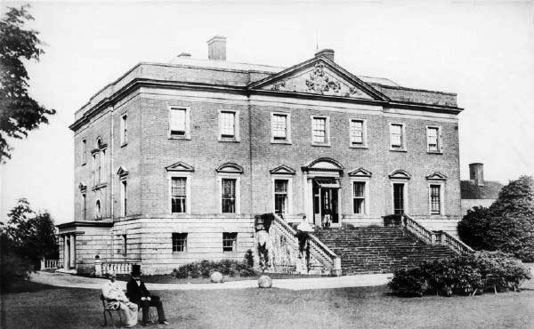
Radbourne Hall
Radbourne Hall is an 18th-century Georgian country house, the seat of the Chandos-Pole family, at Radbourne, Derbyshire. It is a Grade I listed building...

St Andrew's Church, Radbourne
St Andrew's Church, Radbourne is a Grade I listed parish church in the Church of England in Radbourne, Derbyshire. == History == The church dates from...

Radbourne, Derbyshire
Radbourne is a small village and civil parish in the English county of Derbyshire, a few miles west of Derby. As the population of the civil parish taken...

Mickleover railway station
Mickleover railway station is a disused railway station which served the town of Mickleover and village of Radbourne in Derbyshire, England. It was opened...

Mickleover
Mickleover is a town in the unitary authority of Derby, in Derbyshire, England. It is 2 miles (3.2 km) west of Derby, 10 miles (16 km) northeast of Burton...
Bearwardcote
Bearwardcote is a civil parish in the South Derbyshire district of Derbyshire, England. According to the 2001 census it had a population of 26. The hamlet...
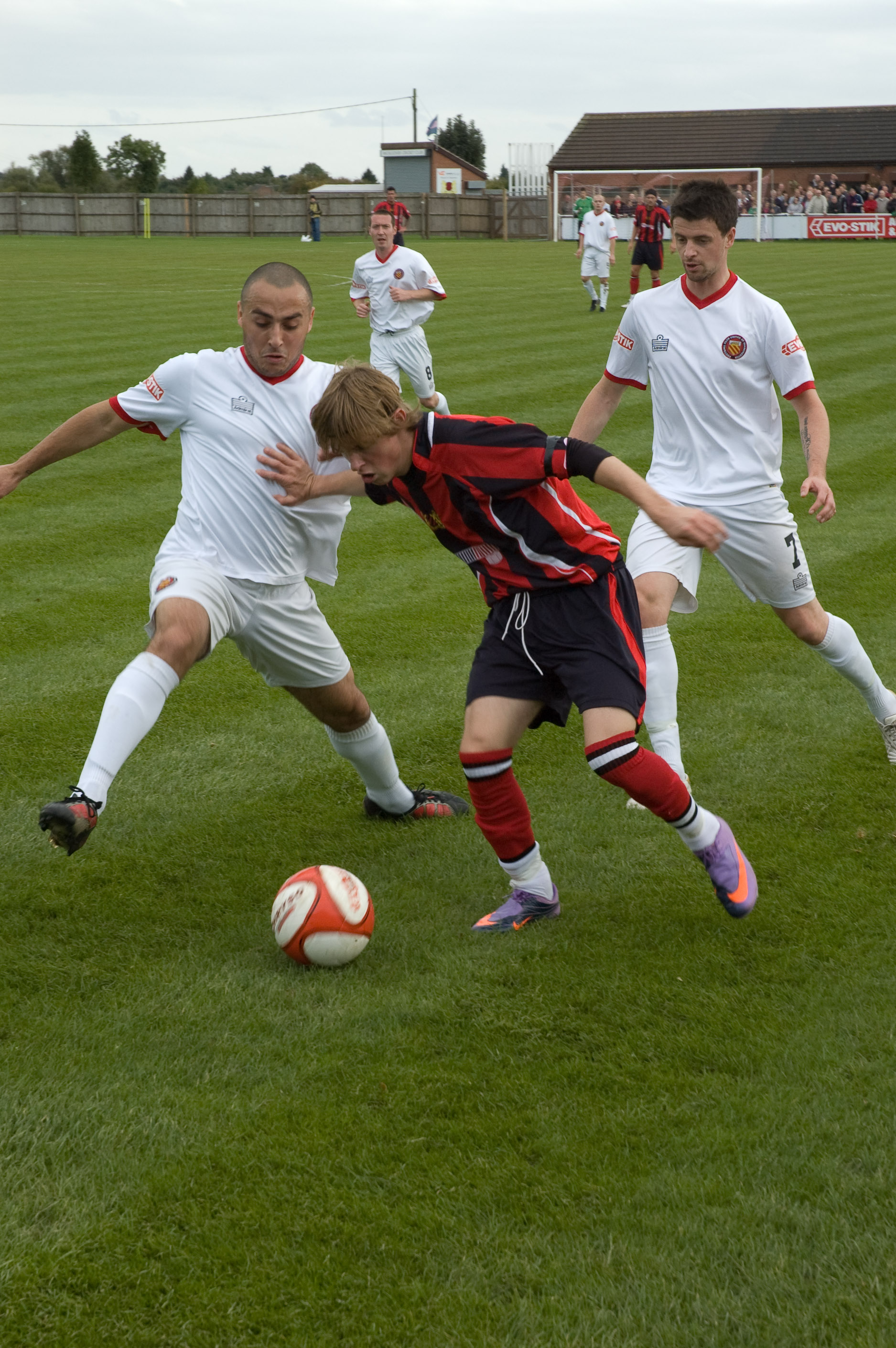
Mickleover F.C.
Mickleover Football Club is a football club based in the Mickleover suburb of Derby, Derbyshire, England. They are currently members of the Southern League...

Derby County F.C. Women
Derby County Women are an English women's football club affiliated with Derby County F.C. The first team currently play in the FA Women's National League...
Nearby Amenities
Located within 500m of 52.915002,-1.5698525Have you been to Slade Plantation?
Leave your review of Slade Plantation below (or comments, questions and feedback).