Black Wood
Wood, Forest in Derbyshire South Derbyshire
England
Black Wood

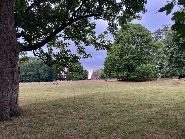
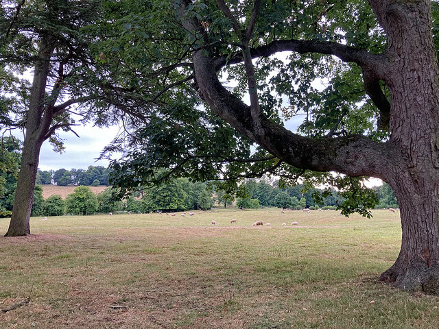
Black Wood is a dense forest located in the picturesque region of Derbyshire, England. Spanning an area of approximately 500 hectares, this woodland is known for its unique combination of natural beauty and historical significance. The forest is predominantly composed of a variety of deciduous and coniferous trees, including oak, beech, pine, and spruce, creating a diverse and vibrant landscape throughout the year.
The name "Black Wood" derives from the dark, almost black appearance of the tree trunks due to a high concentration of tannins in the soil. This distinctive feature, coupled with the dense foliage, lends an air of mystery and enchantment to the forest.
Black Wood boasts an extensive network of well-maintained walking trails, making it a popular destination for outdoor enthusiasts and nature lovers. The trails offer stunning views of the surrounding countryside, including rolling hills, meandering rivers, and charming villages. The forest also provides a habitat for a wide range of wildlife, including deer, foxes, badgers, and various bird species, making it a haven for nature enthusiasts and wildlife photographers.
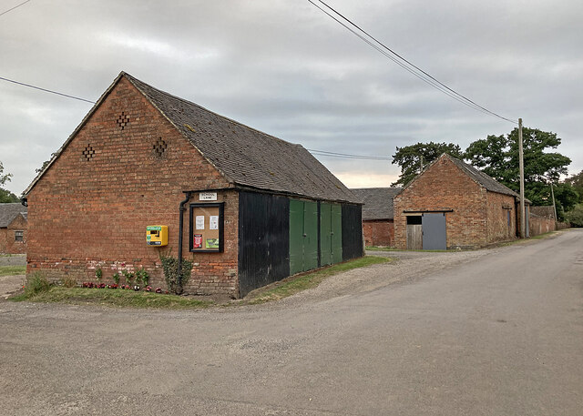
The historical significance of Black Wood is evident through the presence of ancient ruins and remnants of a medieval settlement. Archaeological excavations have uncovered artifacts and structures dating back centuries, providing insights into the region's rich cultural heritage.
Overall, Black Wood in Derbyshire is a captivating forest that offers a harmonious blend of natural beauty and historical significance, attracting visitors from near and far.
If you have any feedback on the listing, please let us know in the comments section below.
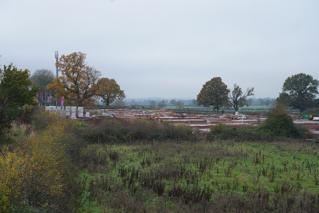
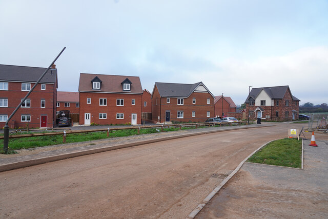
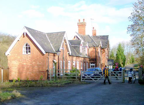
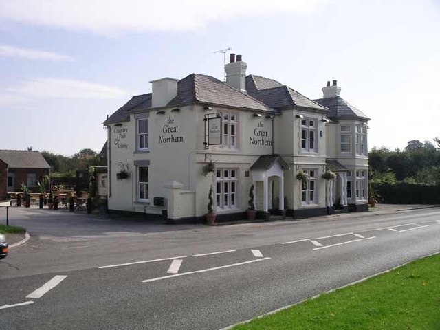
Black Wood Images
Images are sourced within 2km of 52.912104/-1.5640669 or Grid Reference SK2935. Thanks to Geograph Open Source API. All images are credited.


Black Wood is located at Grid Ref: SK2935 (Lat: 52.912104, Lng: -1.5640669)
Administrative County: Derbyshire
District: South Derbyshire
Police Authority: Derbyshire
What 3 Words
///putty.cover.asleep. Near Etwall, Derbyshire
Nearby Locations
Related Wikis
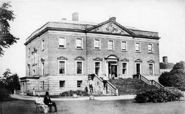
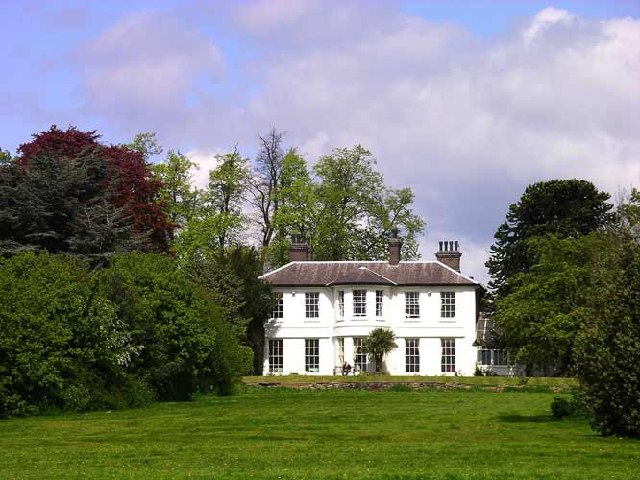
Radbourne Hall
Radbourne Hall is an 18th-century Georgian country house, the seat of the Chandos-Pole family, at Radbourne, Derbyshire. It is a Grade I listed building...

St Andrew's Church, Radbourne
St Andrew's Church, Radbourne is a Grade I listed parish church in the Church of England in Radbourne, Derbyshire. == History == The church dates from...

Mickleover
Mickleover is a town in the unitary authority of Derby, in Derbyshire, England. It is 2 miles (3.2 km) west of Derby, 10 miles (16 km) northeast of Burton...

Mickleover railway station
Mickleover railway station is a disused railway station which served the town of Mickleover and village of Radbourne in Derbyshire, England. It was opened...

Radbourne, Derbyshire
Radbourne is a small village and civil parish in the English county of Derbyshire, a few miles west of Derby. As the population of the civil parish taken...
Bearwardcote
Bearwardcote is a civil parish in the South Derbyshire district of Derbyshire, England. According to the 2001 census it had a population of 26. The hamlet...
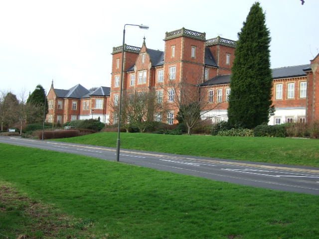
Pastures Hospital
Pastures Hospital was a mental health facility at Mickleover in Derbyshire, England. The church is a Grade II listed building. == History == The hospital...
Mickleover F.C.
Mickleover Football Club is a football club based in the Mickleover suburb of Derby, Derbyshire, England. They are currently members of the Southern League...
Nearby Amenities
Located within 500m of 52.912104,-1.5640669Have you been to Black Wood?
Leave your review of Black Wood below (or comments, questions and feedback).