Denver

Settlement in Norfolk King's Lynn and West Norfolk

England

Denver

Denver Junction Railway crossing near Denver.
Denver Junction Credit: Wayland Smith

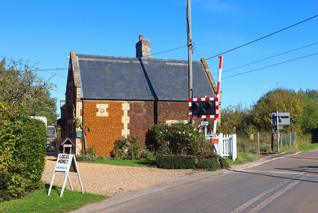
Denver, Norfolk is a small village located in the county of Norfolk, England. Situated approximately 13 miles west of the city of Norwich, Denver is situated on the banks of the River Great Ouse and is part of the larger civil parish known as Denver and Denver Sluice.

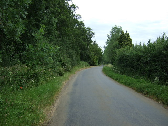
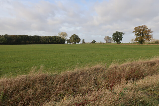
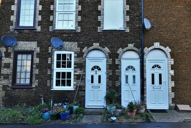
The village of Denver is known for its picturesque rural setting, surrounded by fertile agricultural land and vast stretches of open countryside. It is primarily a residential area, with a small population of around 1,500 people. The village is characterized by its charming traditional cottages and a few local amenities, such as a village hall, a primary school, and a parish church.

One of the key attractions of Denver is Denver Windmill, an iconic landmark that dominates the village's skyline. This historic windmill, originally built in the early 19th century, has been restored and is now a popular tourist attraction. Visitors can explore the mill, learn about its fascinating history, and enjoy panoramic views of the surrounding countryside from its observation deck.

Denver is also renowned for its connection to the waterways. The nearby Denver Sluice Complex, an important engineering structure, controls the water levels of the River Great Ouse and forms a significant part of the local flood defense system. This complex has a visitor center where visitors can learn about the vital role it plays in managing the river and protecting the surrounding areas from flooding.

In summary, Denver, Norfolk is a quaint village in the heart of the English countryside, offering a peaceful and idyllic setting for residents and visitors alike. It is known for its historic windmill, beautiful landscapes, and its connection to the waterways through the Denver Sluice Complex.

If you have any feedback on the listing, please let us know in the comments section below.

Denver Images

Images are sourced within 2km of 52.588103/0.381068 or Grid Reference TF6101. Thanks to Geograph Open Source API. All images are credited.

Denver Junction Railway crossing near Denver.
Denver Junction
Railway crossing near Denver.
Hilgay Road Heading east beside School Plantation.
Hilgay Road
Heading east beside School Plantation.
Field by Ely Road
Field by Ely Road
Downham Market: The High Street from Paradise Road
Downham Market: The High Street
Downham Market: 'Living in Paradise' furniture store
Downham Market: 'Living in Paradise' furniture store (interior) 1
Downham Market: 'Living in Paradise' furniture store (interior) 2
Downham Market: The Market Place
Downham Market: 'Living in Paradise' furniture store (interior) 3
Downham Market: 5, 5a Paradise Road and seemingly a second front door for one of them in between
Downham Market, St. Edmunds Church: South porch
Downham Market: The Town Hall and Town Pump in the foreground
Downham Market Clock Tower: Presented to the town by James Scott in 1878, renovated 2004
Downham Market: Plaque on the Town Hall
Downham Market: The Market Place
Downham Market: The Town Pump
Show me another place!

Denver is located at Grid Ref: TF6101 (Lat: 52.588103, Lng: 0.381068)

Administrative County: Norfolk

District: King's Lynn and West Norfolk

Police Authority: Norfolk

What 3 Words

///firms.choppy.burden. Near Downham Market, Norfolk

Related Wikis

Denver, Norfolk

Denver is a village and civil parish in the English county of Norfolk. The village is situated on the River Great Ouse, approximately 1 mile (1.6 km) south...

Denver Windmill

Denver Windmill is a Grade II* listed tower mill at Denver, Norfolk, England. In March 2010, there were about 374,000 list entries of which 5.5% were Grade...
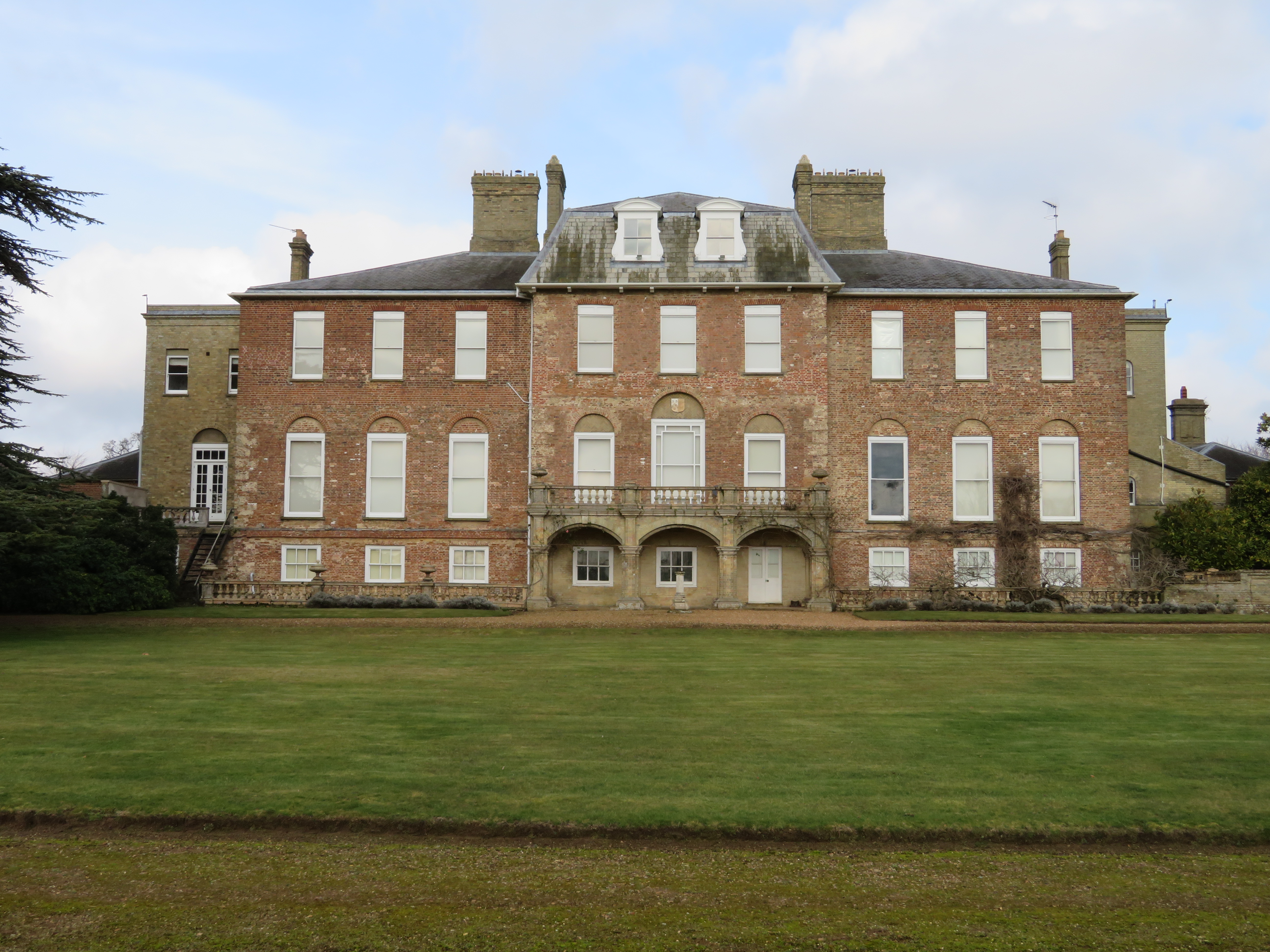
Ryston Hall

Ryston Hall, Ryston, Norfolk, England is a 17th-century country house built by Sir Roger Pratt for himself. The house was constructed between 1669 and...
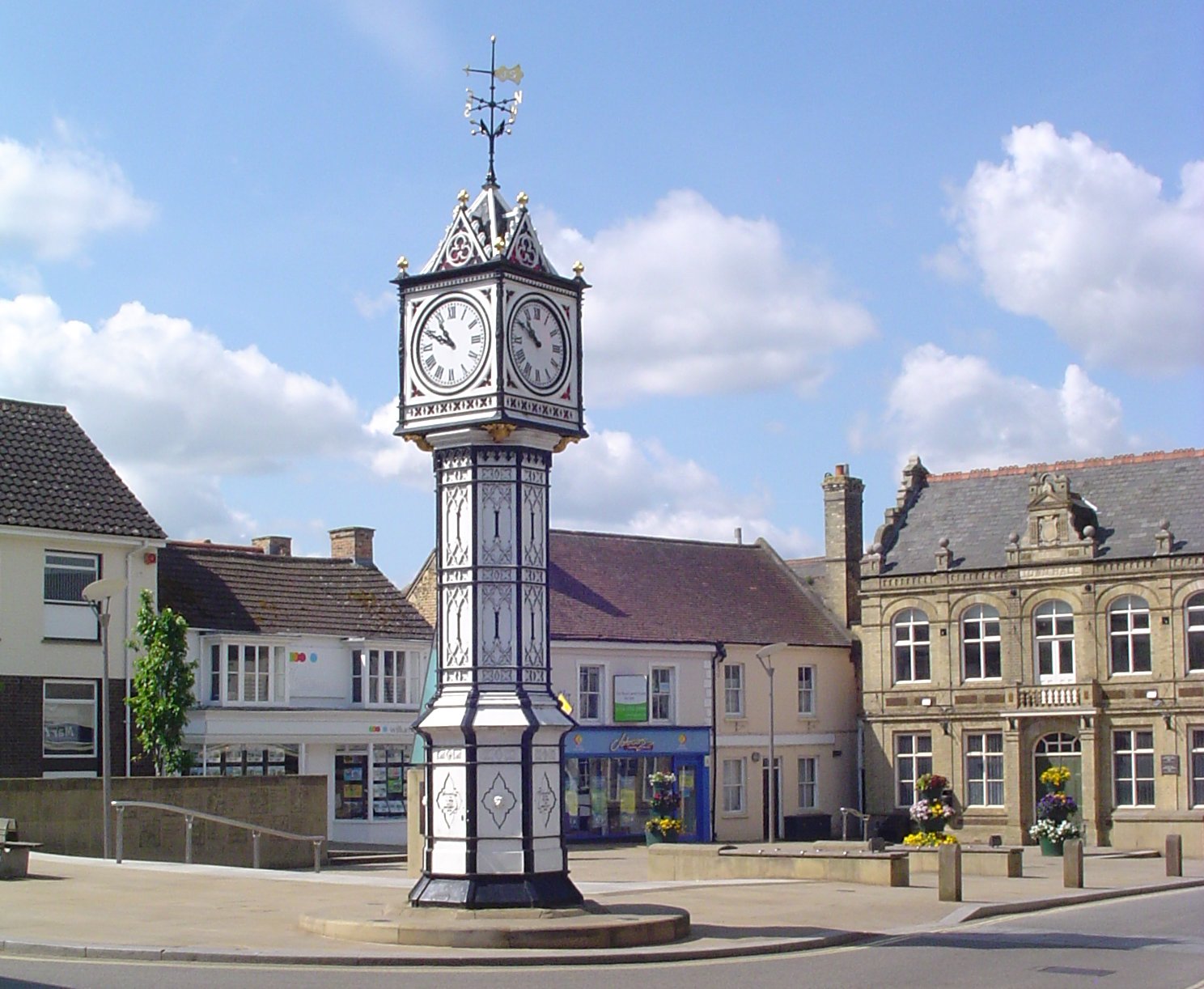
Downham Market

Downham Market, sometimes simply referred to as Downham, is a market town and civil parish in Norfolk, England. It lies on the edge of the Fens, on the...

Nearby Amenities

Located within 500m of 52.588103,0.381068
Crossing
Crossing: island
Lat/Long: 52.5923011/0.3804407
Denver
Is In: Norfolk, England
Place: village
Lat/Long: 52.5878951/0.3816406
Pub
The Bell Inn
Addr City: Downham Market
Addr Country: GB
Addr Housenumber: 2
Addr Postcode: PE38 0DW
Addr Street: Ely Road
Addr Village: Denver
Fhrs Id: 1035853
Source Addr: FHRS Open Data
Lat/Long: 52.5880693/0.3814829
war memorial
Historic: memorial
Memorial: war_memorial
Lat/Long: 52.5880077/0.3809528
Tourism: caravan_site
Lat/Long: 52.5868013/0.3854906
Post Box
Collection Times: Mo-Fr 16:15; Sa 08:00
Post Box Mounting: pier
Post Box Type: lamp
Ref: PE38 513
Royal Cypher: EIIR
Royal Cypher Wikidata: Q33102113
Lat/Long: 52.5907777/0.3856997
Post Office
Denver Post Office and Stores
Addr City: Downham Market
Addr Country: GB
Addr Housenumber: 9-11
Addr Postcode: PE38 0DF
Addr Street: Downham Road
Addr Suburb: Denver
Brand: Post Office
Brand Wikidata: Q1783168
Website: https://www.postoffice.co.uk/branch-finder/0651311/denver
Lat/Long: 52.5889354/0.3811214
Bus Stop
church, opp
Naptan AtcoCode: 2900D021
Naptan Bearing: N
Naptan CommonName: church
Naptan Indicator: opp
Naptan Landmark: church
Naptan Locality: Denver
Naptan NaptanCode: nfoamdwd
Naptan ShortCommonName: church
Naptan Street: Downham Road
Naptan Verified: no
Source: naptan_import
Lat/Long: 52.5890033/0.3812646
Bus Stop
church, adj
Naptan AtcoCode: 2900D023
Naptan Bearing: S
Naptan CommonName: church
Naptan Indicator: adj
Naptan Landmark: church
Naptan Locality: Denver
Naptan NaptanCode: nfoamdwj
Naptan ShortCommonName: church
Naptan Street: Downham Road
Naptan Verified: no
Source: naptan_import
Lat/Long: 52.5888977/0.3815985
Entrance: main
Lat/Long: 52.588538/0.3818268
Fixme: incomplete
Lat/Long: 52.5848994/0.3812588
Entrance: yes
Lat/Long: 52.5885991/0.3820726
Denver
Inscription: Presented by Denver Womens Institute to commemorate the Silver Jubilee of H.M.Queen Elizabeth 2nd, 1977. / WI
Man Made: village_sign
Material: wood
Lat/Long: 52.5916797/0.3809434
Telephone
Defibrillator
Booth: KX100
Covered: booth
Defibrillator Location: inside phone box beside Bell Inn in Denver
Emergency: defibrillator
Man Made: telephone_box
Lat/Long: 52.5880691/0.3812078
Man Made: flagpole
Lat/Long: 52.5879387/0.379986
Advertising: board
Lat/Long: 52.5879302/0.3799914
Bench
Lat/Long: 52.5879196/0.3799954
Post Box
Collection Times: Mo-Fr 16:30; Sa 11:15
Operator: Royal Mail
Post Box Design: type_m
Post Box Type: lamp
Ref: PE38 402
Lat/Long: 52.5889914/0.3812822
Communication Mobile Phone: yes
Man Made: mast
Material: metal
Operator: Three UK;EE
Tower Construction: freestanding
Tower Type: communication
Lat/Long: 52.587967/0.3738952
Golf: pin
Lat/Long: 52.5862416/0.3875152
The data included in this document is from www.openstreetmap.org. The data is made available under ODbL.

Have you been to Denver?

Leave your review of Denver below (or comments, questions and feedback).