Whin Common
Downs, Moorland in Norfolk King's Lynn and West Norfolk
England
Whin Common
Whin Common is a vast natural expanse located in the county of Norfolk, England. It encompasses a diverse range of landscapes, including downs and moorland, making it a haven for nature enthusiasts and outdoor adventurers alike.
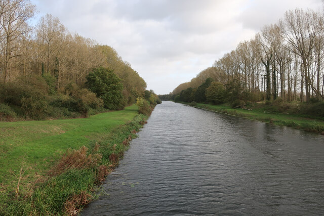
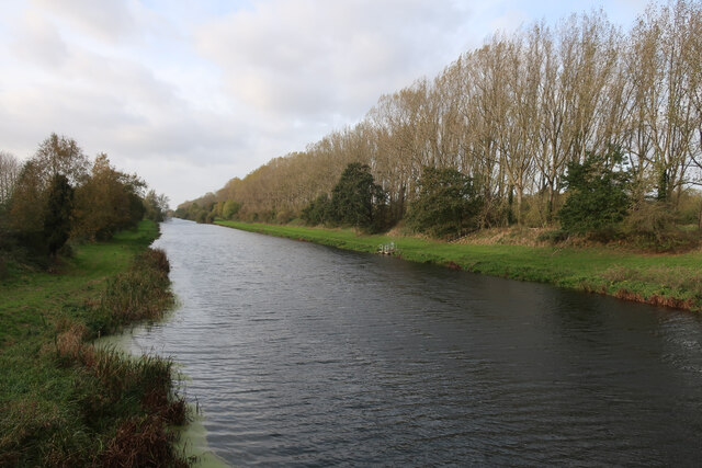
Covering an area of approximately 500 acres, Whin Common boasts a rich variety of flora and fauna, making it a designated Site of Special Scientific Interest (SSSI). The common is characterized by its rolling hills and open grasslands, providing a picturesque setting for visitors to explore and enjoy.
The downs of Whin Common offer breathtaking views of the surrounding countryside, with their gently sloping terrain and vibrant wildflowers that bloom throughout the seasons. These open spaces are ideal for leisurely walks, picnics, and even kite flying on windy days.
In contrast, the moorland sections of Whin Common provide a more rugged and untamed environment. Here, visitors can discover areas of heather, gorse, and bracken, creating a striking contrast against the greenery. The moorland is also home to a variety of wildlife, including birds, reptiles, and small mammals, making it a popular spot for birdwatching and nature photography.
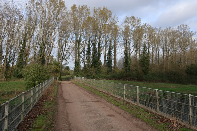
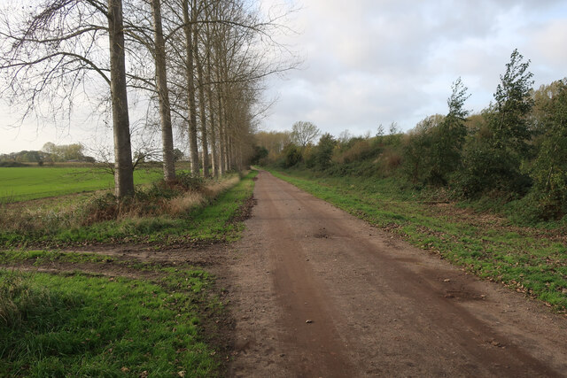
Whin Common is accessible to the public, with well-maintained footpaths and trails guiding visitors through its various landscapes. The common is also equipped with amenities such as car parks and picnic areas, ensuring a comfortable experience for all who visit.
Overall, Whin Common offers a unique and diverse natural experience, showcasing the beauty of Norfolk's countryside and providing a tranquil retreat for those seeking solace in nature.
If you have any feedback on the listing, please let us know in the comments section below.
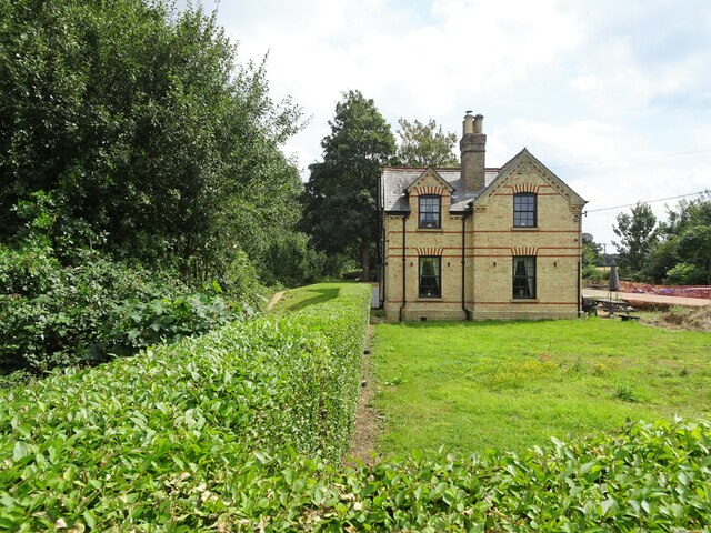
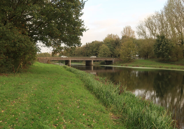
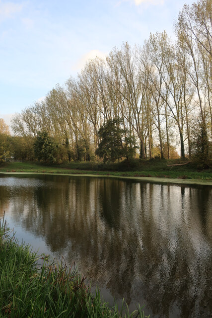
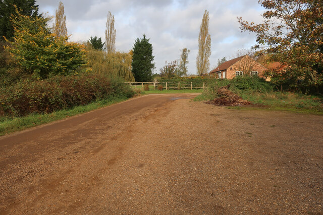
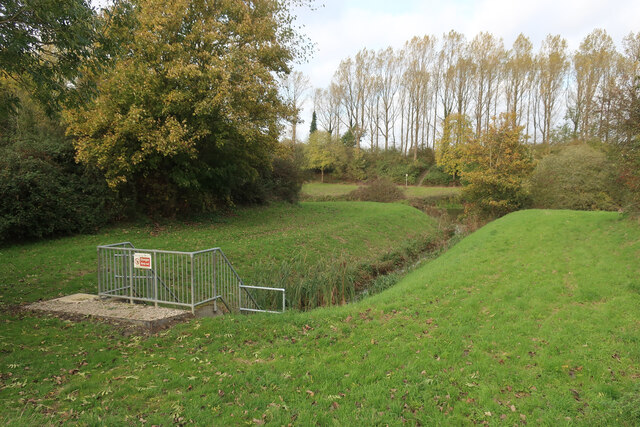
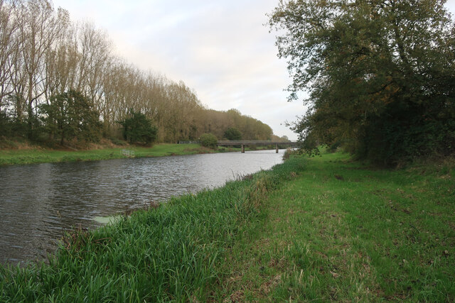
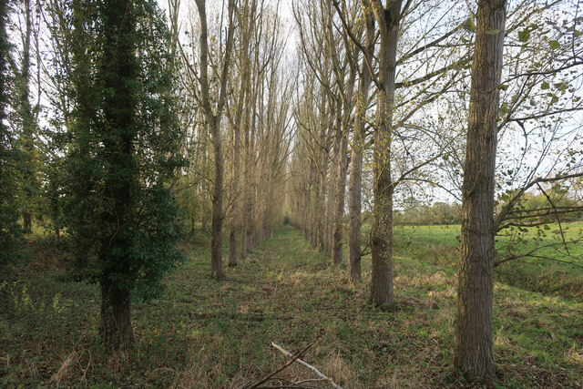
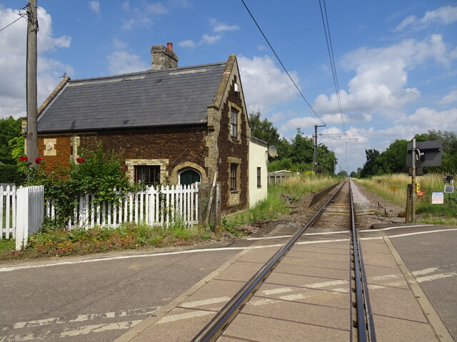
Whin Common Images
Images are sourced within 2km of 52.58365/0.38543792 or Grid Reference TF6101. Thanks to Geograph Open Source API. All images are credited.


Whin Common is located at Grid Ref: TF6101 (Lat: 52.58365, Lng: 0.38543792)
Administrative County: Norfolk
District: King's Lynn and West Norfolk
Police Authority: Norfolk
What 3 Words
///pine.nicer.dishes. Near Downham Market, Norfolk
Nearby Locations
Related Wikis

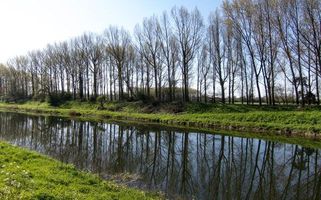
Denver, Norfolk
Denver is a village and civil parish in the English county of Norfolk. The village is situated on the River Great Ouse, approximately 1 mile (1.6 km) south...
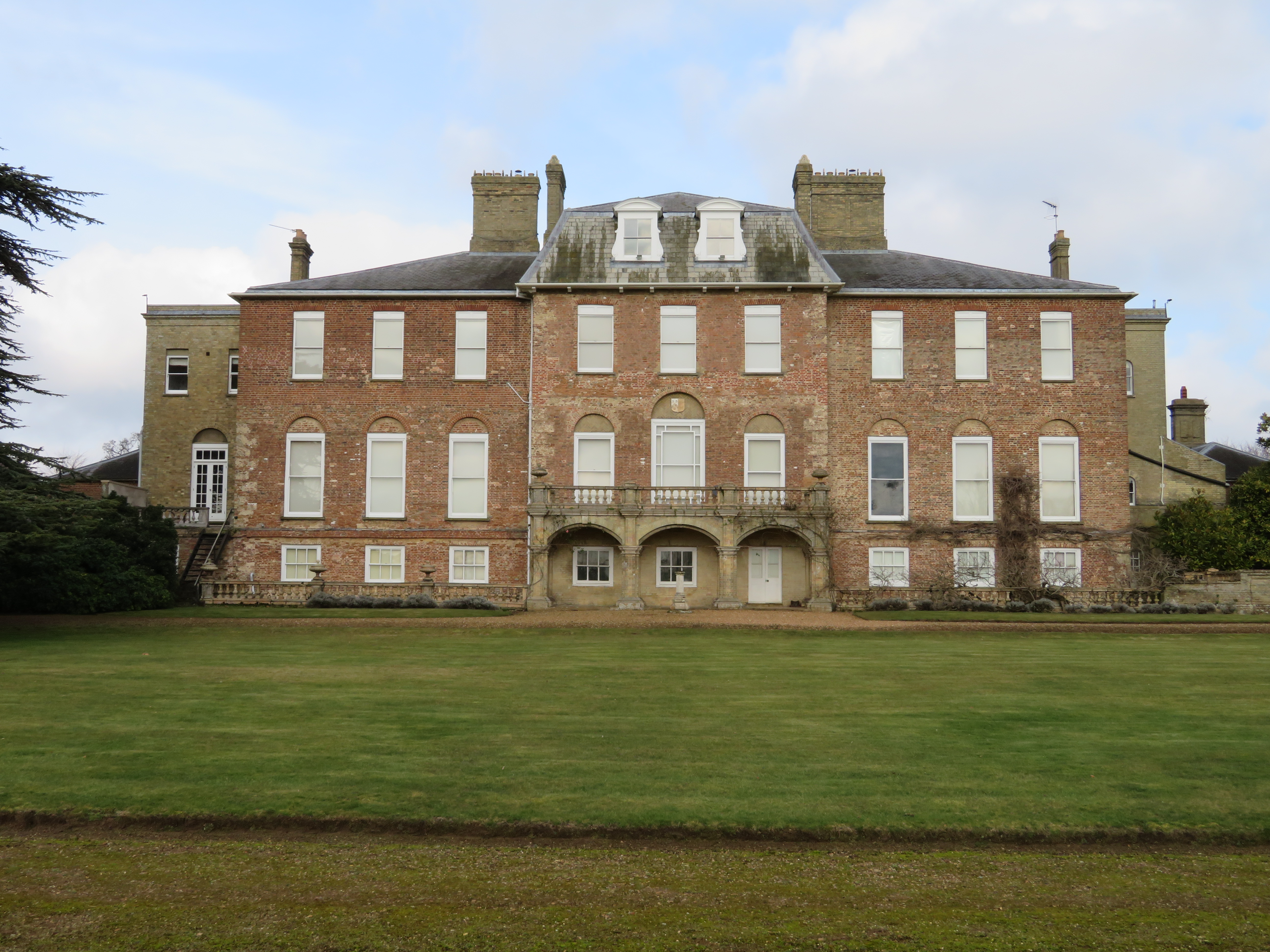
Ryston Hall
Ryston Hall, Ryston, Norfolk, England is a 17th-century country house built by Sir Roger Pratt for himself. The house was constructed between 1669 and...

Ryston
Ryston is a small village and civil parish in the English county of Norfolk. It once had its own railway station. The villages name means 'Brushwood farm/settlement...
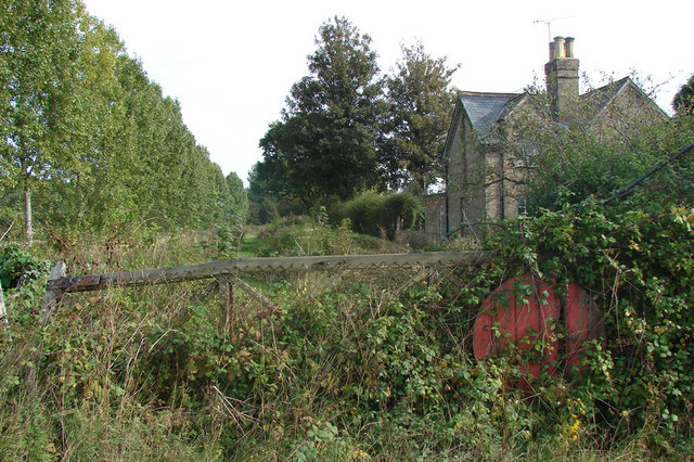
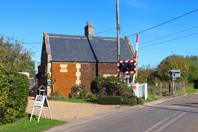
Ryston railway station
Ryston railway station was a railway station serving Fordham, Norfolk. It was on a branch line from Denver. == History == The Downham and Stoke Ferry Railway...
Nearby Amenities
Located within 500m of 52.58365,0.38543792Have you been to Whin Common?
Leave your review of Whin Common below (or comments, questions and feedback).