Denvilles
Settlement in Hampshire Havant
England
Denvilles
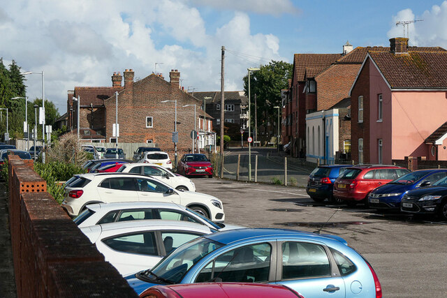
Denvilles is a small village located in the county of Hampshire, England. Situated on the south coast, it is part of the borough of Havant and lies approximately 3 miles east of the town center. The village is nestled between the larger towns of Emsworth and Havant, with easy access to the A27 trunk road.
Denvilles is primarily a residential area, characterized by a mix of housing types including detached and semi-detached houses, as well as some apartment complexes. The village has a close-knit community feel and offers a peaceful and picturesque environment for its residents.
Despite its relatively small size, Denvilles boasts a range of amenities to cater to the needs of its inhabitants. These include a convenience store, a post office, a pharmacy, and a few local shops. Additionally, there are several pubs and restaurants in the area, providing options for dining and socializing.
For outdoor enthusiasts, Denvilles benefits from its close proximity to the coast and beautiful natural surroundings. The nearby Langstone Harbour is a popular spot for walking, birdwatching, and sailing. Additionally, the village is within easy reach of several parks and green spaces, offering opportunities for recreational activities and family outings.
Transportation links are excellent in Denvilles, with a train station providing regular services to nearby cities such as Portsmouth and Chichester. The village is also well-connected by road, with easy access to major highways and motorways.
Overall, Denvilles offers a tranquil and friendly living environment, making it an attractive place to reside for individuals and families alike.
If you have any feedback on the listing, please let us know in the comments section below.
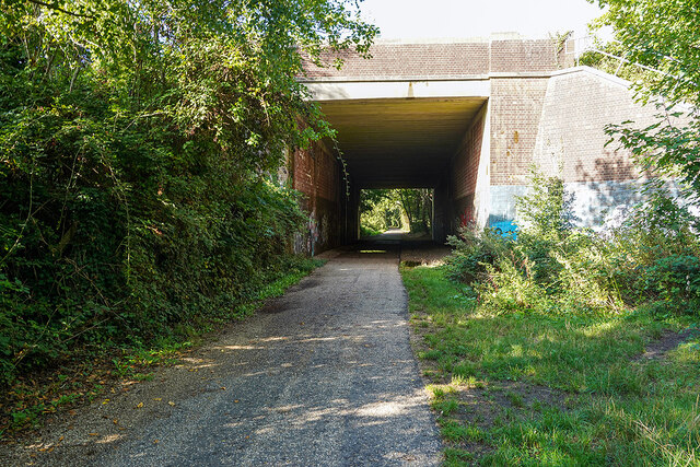
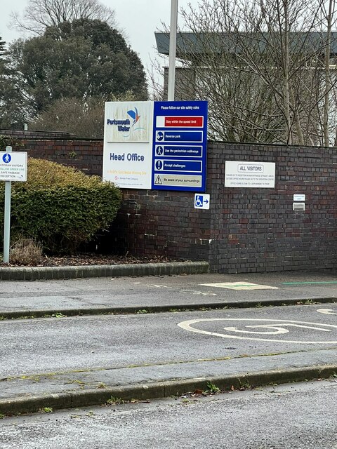
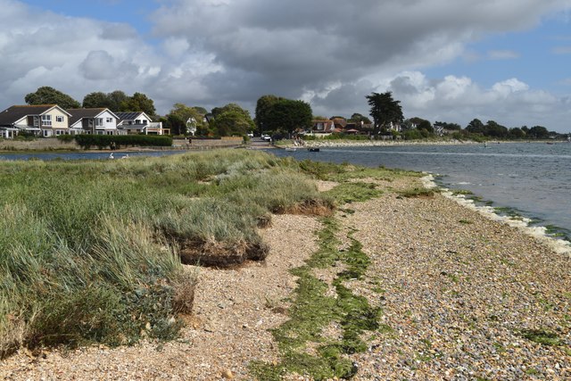
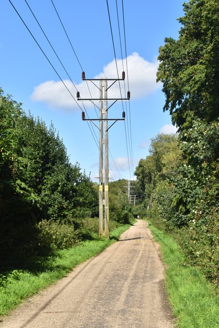
Denvilles Images
Images are sourced within 2km of 50.854953/-0.96215 or Grid Reference SU7306. Thanks to Geograph Open Source API. All images are credited.


Denvilles is located at Grid Ref: SU7306 (Lat: 50.854953, Lng: -0.96215)
Administrative County: Hampshire
District: Havant
Police Authority: Hampshire
What 3 Words
///moves.icon.goad. Near Havant, Hampshire
Nearby Locations
Related Wikis
Denvilles
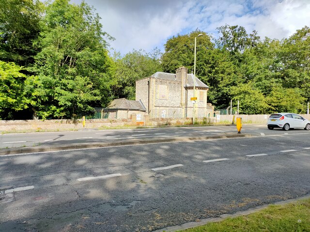
Denvilles is a locality within Havant to the north of Warblington railway station. In 1877 it consisted of a solitary farm but by 1897 there were several...
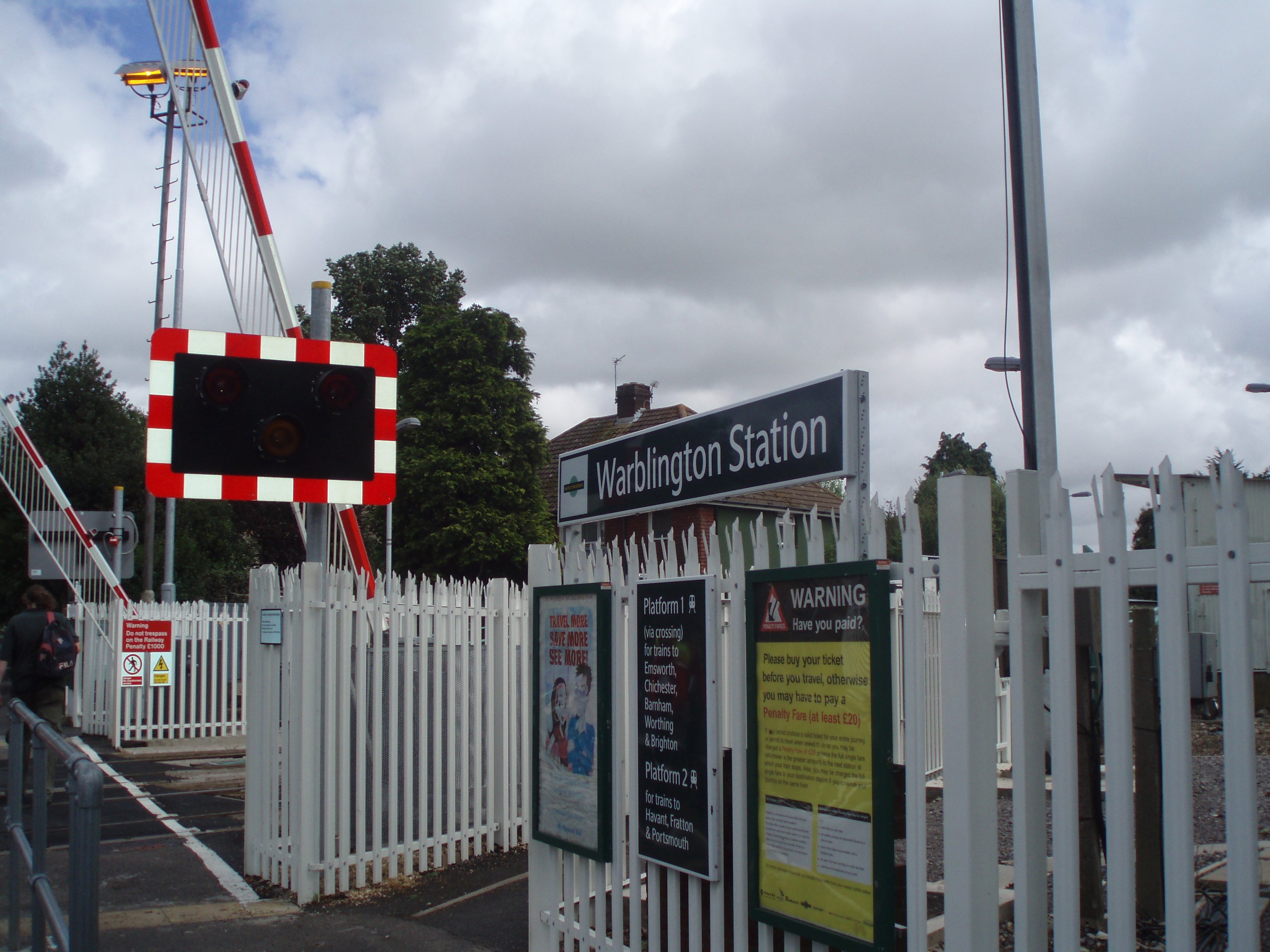
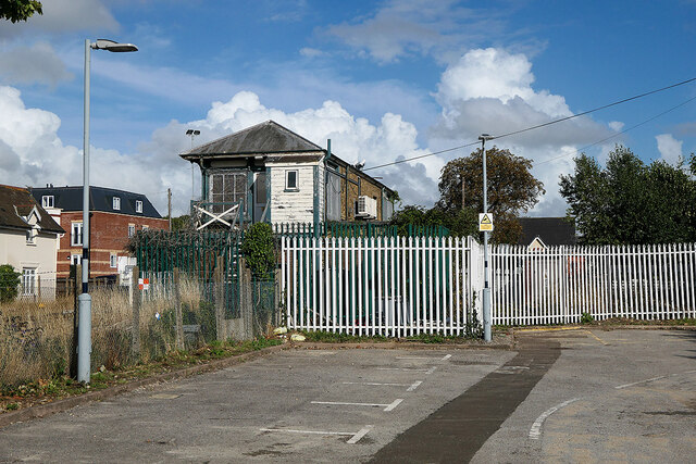
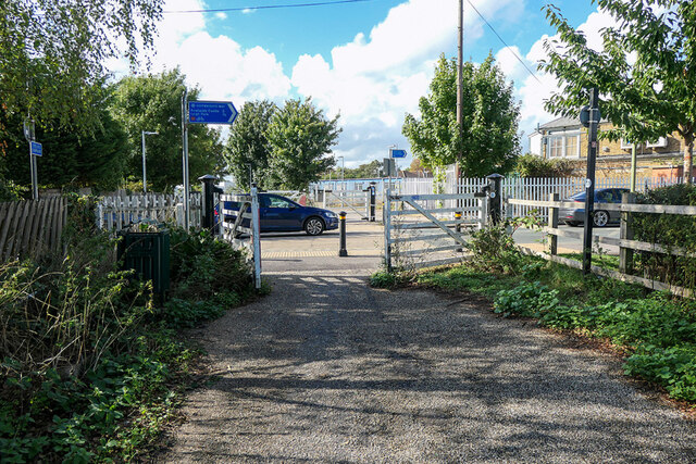
Warblington railway station
Warblington railway station serves the Warblington and Denvilles suburbs of Havant in Hampshire. It is located on the West Coastway Line which runs between...

Warblington School
Warblington School is a coeducational community secondary school, located in the Warblington area of Havant in the English county of Hampshire.The school...

Havant New railway station
Havant New was a temporary terminus between Havant and Rowlands Castle on the Portsmouth Direct Line: a temporary platform, erected by the L&SWR who were...
Related Videos

Warblington Coast and Castle Hiking 13.06.2020
Great hiking route along the sea, wheat fields, lots of horses and cows and also close to ruins of 500 year-old Warblington ...

Hiking with me EDC Patrol Langstone Quay
Walk With Me EDC Patrol Langstone Quay https://www.google.com/maps/@50.8372123,-0.9803151,137m/data=!3m1!1e3.

Sunny winter walk in Emsworth, UK 4K #walking #pointofview #coastal #reflections
On a rare break from the grey and storms that have ruled the UK. The sun came out! It was a cold crisp day and while the tide was ...

Emsworth- a great place to walk and browse, with interesting antique shops. #beautiful #uk #love
youtubeshorts #love #shots #travel #life #beautiful #uk #peace #placestovisit #beauty #emsworth #hampshire #travel #explore ...
Nearby Amenities
Located within 500m of 50.854953,-0.96215Have you been to Denvilles?
Leave your review of Denvilles below (or comments, questions and feedback).