Blacka Moor

Wood, Forest in Derbyshire

England

Blacka Moor

Beneath November clouds at Totley Bents Another view of "The Cricket Inn".
Beneath November clouds at Totley Bents Credit: Neil Theasby

Blacka Moor is a picturesque woodland and nature reserve located in the county of Derbyshire, England. Stretching over an area of approximately 300 acres, it is situated on the outskirts of the city of Sheffield, near the Peak District National Park.

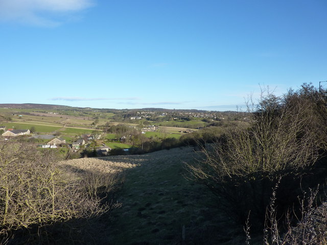
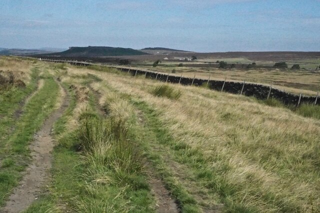
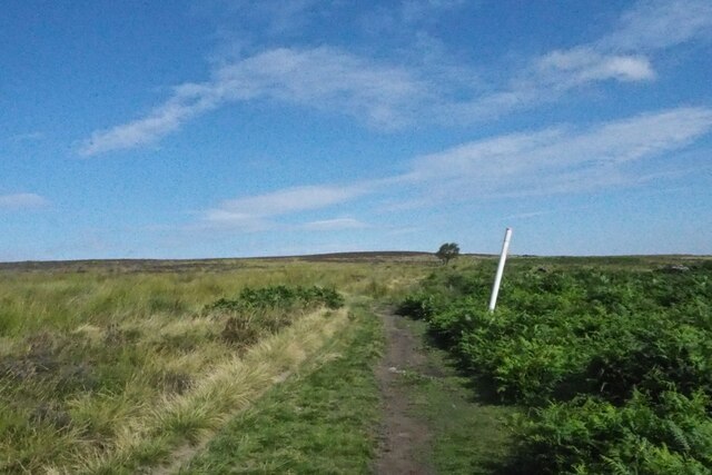
The moorland is characterized by a dense forest of mature trees, primarily consisting of oak, birch, and beech, creating a diverse and vibrant ecosystem. The woodland is interspersed with open spaces, heather moorland, and small ponds, providing a variety of habitats for a wide range of flora and fauna.

Blacka Moor is a haven for wildlife enthusiasts, as it is home to an array of bird species, including woodpeckers, warblers, and owls. The woodland also supports a population of mammals such as deer, foxes, and badgers. Rare and protected species, such as the bilberry bumblebee and the mountain pansy, can also be found within its boundaries.

The moorland offers several walking trails and footpaths, allowing visitors to explore its natural beauty and immerse themselves in the peaceful surroundings. The paths wind through the forest, offering stunning views of the surrounding countryside and the city of Sheffield in the distance.

Managed by the Sheffield and Rotherham Wildlife Trust, Blacka Moor is actively involved in conservation efforts, ensuring the preservation of its unique ecosystem and protecting its biodiversity. It also serves as an educational site, hosting nature walks, guided tours, and workshops for both locals and tourists.

Overall, Blacka Moor is a treasured natural gem, providing a tranquil escape from urban life and offering an opportunity to connect with the natural world.

If you have any feedback on the listing, please let us know in the comments section below.
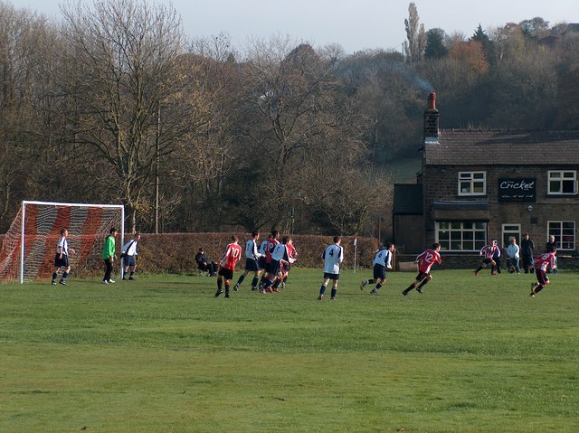
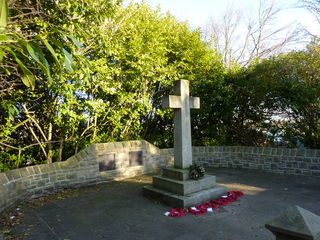
Blacka Moor Images

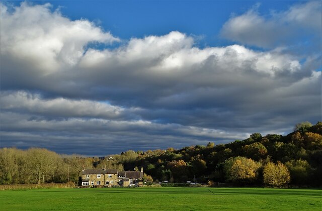
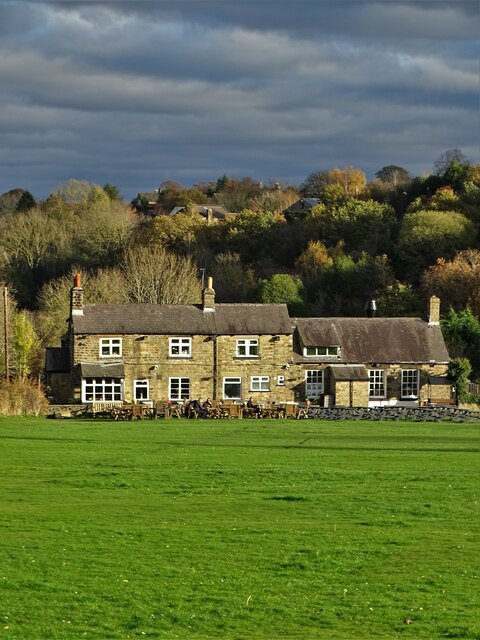
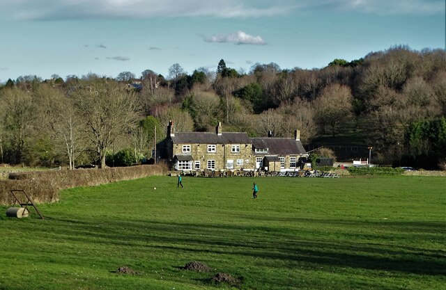
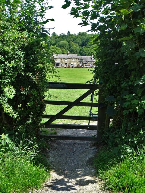
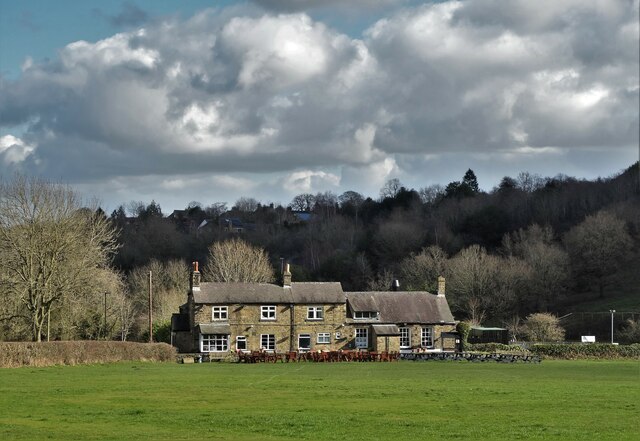
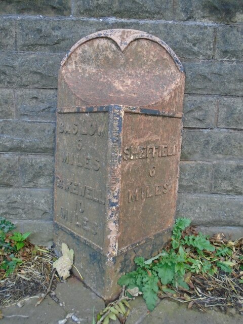
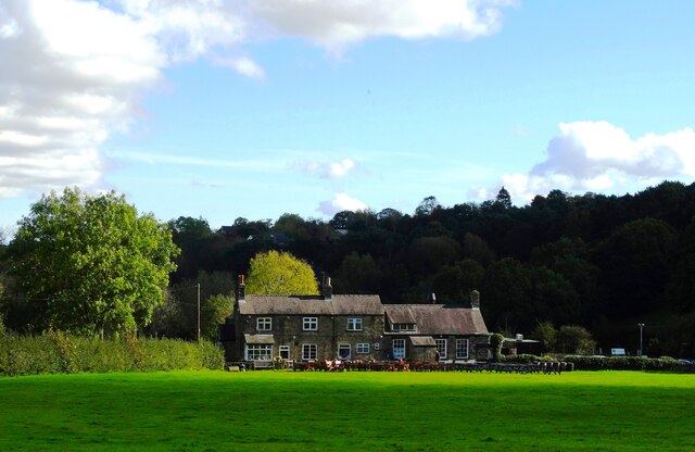
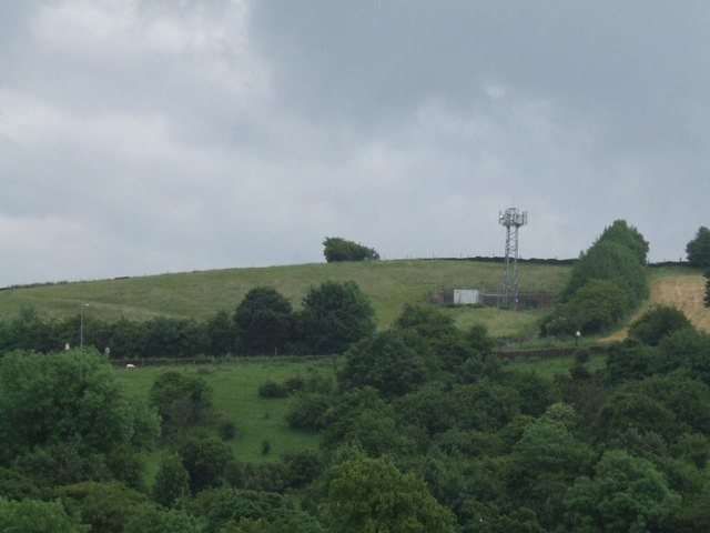
Images are sourced within 2km of 53.323067/-1.5693955 or Grid Reference SK2880. Thanks to Geograph Open Source API. All images are credited.

Beneath November clouds at Totley Bents Another view of "The Cricket Inn".
Beneath November clouds at Totley Bents
Another view of "The Cricket Inn".
"The Cricket Inn"  in  Totley Bents On the edge of the city of Sheffield.
"The Cricket Inn" in Totley Bents
On the edge of the city of Sheffield.
"The Cricket Inn", Totley Bents in early springtime Two brothers, still in school uniform, are playing football on the playing-field.
"The Cricket Inn", Totley Bents in early springtime
Two brothers, still in school uniform, are playing football on the playing-field.
Gate to Totley Bents Recreation Ground With "The Cricket Inn" at the other side of the field.
Gate to Totley Bents Recreation Ground
With "The Cricket Inn" at the other side of the field.
"The Cricket Inn" at Totley Bents
Old milepost On the A621, Baslow Road, Totley this milepost becomes more and more neglected.   It is in a very vulnerable position opposite houses that often have parked cars making the road narrower.   The foundry name is down the front spine DARWIN & CO SHEFFIELD.   Their name is also seen on gully grates and doubtless they cast other products.   There was a Sheffield, Baslow, Owler Bar turnpike that lasted from 1803 to 1880 so this post may date from the middle to late 19C.
Old milepost
On the A621, Baslow Road, Totley this milepost becomes more and more neglected. It is in a very vulnerable position opposite houses that often have parked cars making the road narrower. The foundry name is down the front spine DARWIN & CO SHEFFIELD. Their name is also seen on gully grates and doubtless they cast other products. There was a Sheffield, Baslow, Owler Bar turnpike that lasted from 1803 to 1880 so this post may date from the middle to late 19C.
Yet another image of "The Cricket Inn" Viewed across the recreation ground at Totley Bents
Yet another image of "The Cricket Inn"
Viewed across the recreation ground at Totley Bents
Phone Mast at Totley
Sunday Junior Football near The Cricket Inn, Totley.
Houses at Totley Bents, Sheffield Further on is Townhead, Dore
Houses at Totley Bents, Sheffield
Further on is Townhead, Dore
A War Memorial, Totley, Sheffield
The A621 Baslow Road
Footpath near the A621 Baslow Road
The Cricket Inn, Totley
Public Bridleway sign Pointing toward Totley Moor, through it doesn't say that.
Public Bridleway sign
Pointing toward Totley Moor, through it doesn't say that.
Path on Totley Moor
Path on Totley Moor
Gas main marker on Totley Moor
On Burbage Edge Looking over Hathersage Moor to Higger Tor
On Burbage Edge
Looking over Hathersage Moor to Higger Tor
Show me another place!

Blacka Moor is located at Grid Ref: SK2880 (Lat: 53.323067, Lng: -1.5693955)

Unitary Authority: Sheffield

Police Authority: South Yorkshire

What 3 Words

///judge.twist.boats. Near Hathersage, Derbyshire

Related Wikis

Blacka Moor Nature Reserve

Blacka Moor Nature Reserve is a nature reserve located on Hathersage Road between Sheffield and Hathersage in the Peak District National Park in the United...

Totley Moor

Totley Moor is an open moorland hill to the west of the Sheffield suburb of Totley, in the Derbyshire Peak District. The summit is 395 metres (1,296 ft...

Fox House, South Yorkshire

Fox House is a 17th-century Grade-II listed Inn, located near the Longshaw Estate in the Peak District, near the border between South Yorkshire and Derbyshire...

Totley Tunnel

Totley Tunnel is a 6,230-yard (3.5 mi; 5.7 km) tunnel under Totley Moor, on the Hope Valley line between Totley on the outskirts of Sheffield and Grindleford...

Nearby Amenities

Located within 500m of 53.323067,-1.5693955
Ford: stepping_stones
Lat/Long: 53.3229576/-1.5640126
Bus Stop
Hathersage Road/Blacka Moor
Bench: no
Bus: yes
Departures Board: timetable
Naptan AtcoCode: 370027042
Naptan Bearing: N
Naptan CommonName: Hathersage Road/Blacka Moor
Naptan Indicator: 27042
Naptan Landmark: Blacka Moor
Naptan PlusbusZoneRef: ROTHCEN
Naptan Street: Hathersage Road
Naptan Verified: no
Public Transport: platform
Shelter: no
Source: naptan_import
Tactile Paving: yes
Lat/Long: 53.3234066/-1.5766577
Lenny Hill
Place: locality
Lat/Long: 53.3195395/-1.5654429
Tourism: viewpoint
Lat/Long: 53.3220485/-1.5750131
Bench
Backrest: no
Lat/Long: 53.3220573/-1.5750983
Tourism: viewpoint
Lat/Long: 53.3257008/-1.5654072
Bench
Lat/Long: 53.3257145/-1.5653824
Hathersage Road/Blacka Moor
Bus: yes
Public Transport: stop_position
Lat/Long: 53.3234177/-1.5767318
Bench
Lat/Long: 53.3189186/-1.5669219
Parking
Access: yes
Capacity: 10
Fee: no
Parking: street_side
Lat/Long: 53.3246958/-1.5760179
Barrier: stile
Lat/Long: 53.3247732/-1.5757331
The data included in this document is from www.openstreetmap.org. The data is made available under ODbL.

Have you been to Blacka Moor?

Leave your review of Blacka Moor below (or comments, questions and feedback).