Blacka Plantation

Wood, Forest in Derbyshire

England

Blacka Plantation

Beneath November clouds at Totley Bents Another view of "The Cricket Inn".
Beneath November clouds at Totley Bents Credit: Neil Theasby

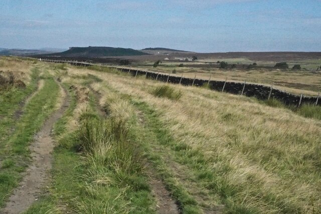
Blacka Plantation is a scenic woodland located in the county of Derbyshire, England. Situated near the village of Dore, it covers an area of approximately 100 hectares and is renowned for its natural beauty and diverse flora and fauna.

The plantation consists mainly of deciduous and coniferous trees, including oak, birch, beech, and pine, which create a lush and vibrant landscape throughout the year. The woodland is crisscrossed by several well-maintained footpaths, allowing visitors to explore and enjoy its serene surroundings.

Blacka Plantation is home to a wide range of wildlife species. Bird enthusiasts will delight in the variety of avian life that can be spotted here, such as woodpeckers, owls, and various songbirds. The woodland also provides habitat for mammals including deer, foxes, and rabbits, as well as numerous species of insects, amphibians, and reptiles.

The plantation is a popular destination for nature lovers, walkers, and photographers who are drawn to its tranquil atmosphere and picturesque scenery. Its elevated position offers stunning views over the surrounding countryside, making it an ideal spot for capturing breathtaking vistas.

Managed by the Sheffield and Rotherham Wildlife Trust, Blacka Plantation is dedicated to conservation and sustainable land management. The organization works tirelessly to protect and enhance the local ecosystem, ensuring that future generations can continue to enjoy this natural haven.

Overall, Blacka Plantation in Derbyshire is a haven of natural beauty, offering visitors the opportunity to escape the hustle and bustle of everyday life and immerse themselves in the serenity of the woodland's diverse and captivating environment.

If you have any feedback on the listing, please let us know in the comments section below.

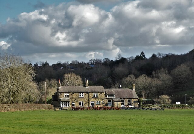
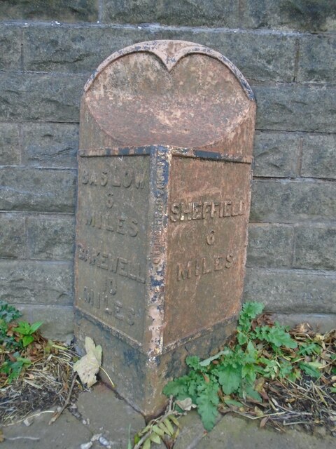
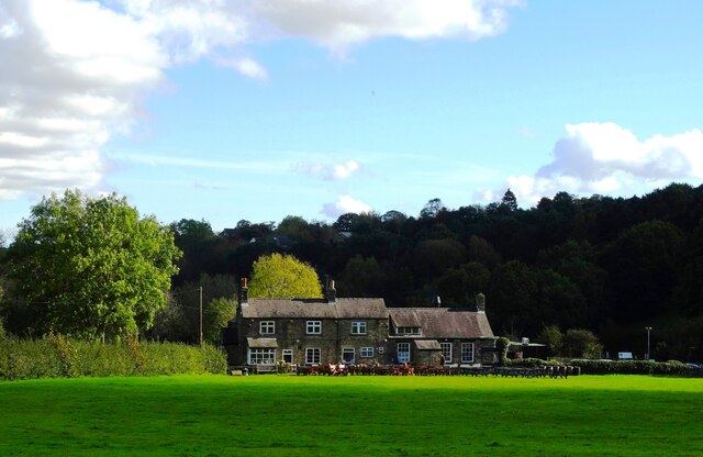
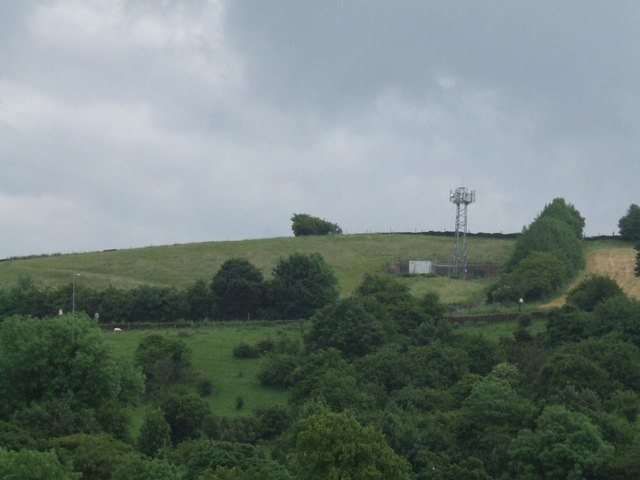
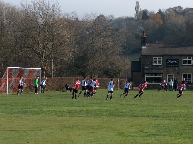
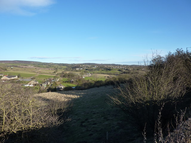
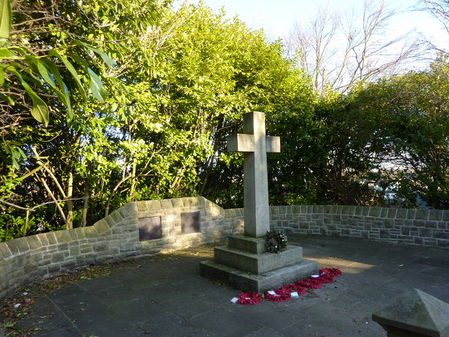
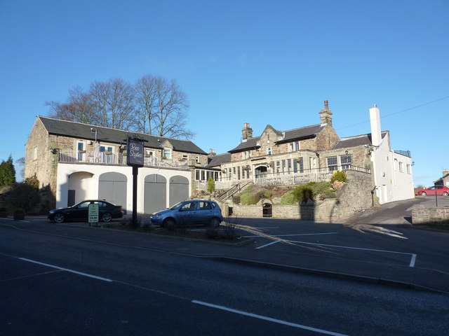
Blacka Plantation Images

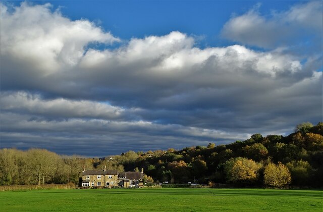
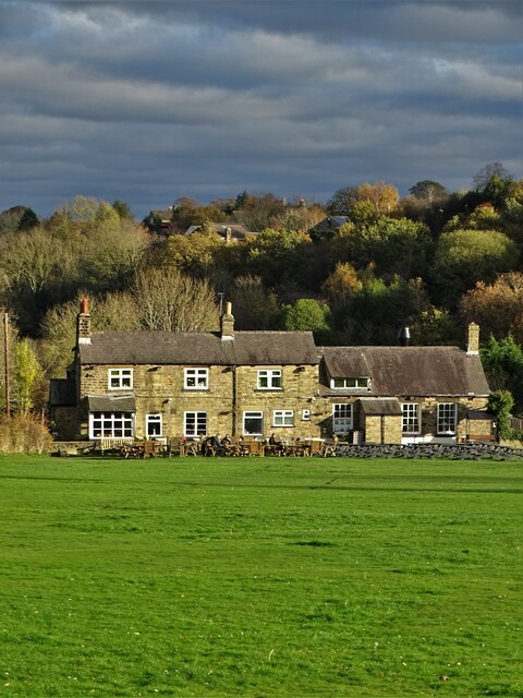
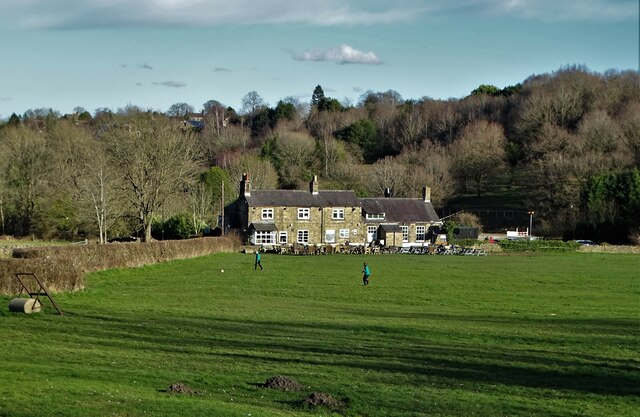
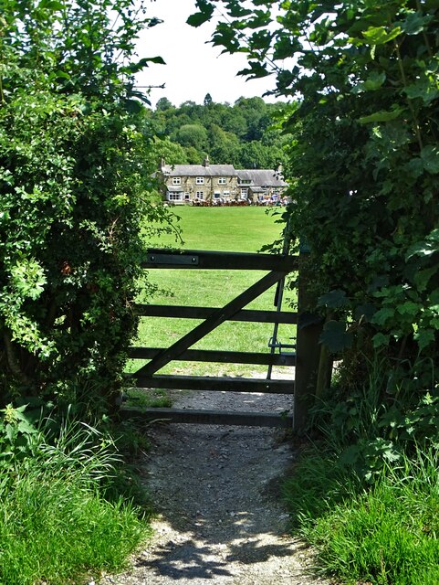
Images are sourced within 2km of 53.323831/-1.5670157 or Grid Reference SK2880. Thanks to Geograph Open Source API. All images are credited.

Beneath November clouds at Totley Bents Another view of "The Cricket Inn".
Beneath November clouds at Totley Bents
Another view of "The Cricket Inn".
"The Cricket Inn"  in  Totley Bents On the edge of the city of Sheffield.
"The Cricket Inn" in Totley Bents
On the edge of the city of Sheffield.
"The Cricket Inn", Totley Bents in early springtime Two brothers, still in school uniform, are playing football on the playing-field.
"The Cricket Inn", Totley Bents in early springtime
Two brothers, still in school uniform, are playing football on the playing-field.
Gate to Totley Bents Recreation Ground With "The Cricket Inn" at the other side of the field.
Gate to Totley Bents Recreation Ground
With "The Cricket Inn" at the other side of the field.
"The Cricket Inn" at Totley Bents
Old milepost On the A621, Baslow Road, Totley this milepost becomes more and more neglected.   It is in a very vulnerable position opposite houses that often have parked cars making the road narrower.   The foundry name is down the front spine DARWIN & CO SHEFFIELD.   Their name is also seen on gully grates and doubtless they cast other products.   There was a Sheffield, Baslow, Owler Bar turnpike that lasted from 1803 to 1880 so this post may date from the middle to late 19C.
Old milepost
On the A621, Baslow Road, Totley this milepost becomes more and more neglected. It is in a very vulnerable position opposite houses that often have parked cars making the road narrower. The foundry name is down the front spine DARWIN & CO SHEFFIELD. Their name is also seen on gully grates and doubtless they cast other products. There was a Sheffield, Baslow, Owler Bar turnpike that lasted from 1803 to 1880 so this post may date from the middle to late 19C.
Yet another image of "The Cricket Inn" Viewed across the recreation ground at Totley Bents
Yet another image of "The Cricket Inn"
Viewed across the recreation ground at Totley Bents
Phone Mast at Totley
Sunday Junior Football near The Cricket Inn, Totley.
Houses at Totley Bents, Sheffield Further on is Townhead, Dore
Houses at Totley Bents, Sheffield
Further on is Townhead, Dore
A War Memorial, Totley, Sheffield
Cross Scythes, Totley
The Pinfold Garden, Hillfoot Road, Totley "The original use of this area as listed in the 1847 awards was for impounding stray cattle and horses and held by the pinder until a fee was paid,namely " a pinfold". Totley and District Environment Society created and funded this project in the late 1970's, assistance with labour was by students of Totley Polytechnic College. The water troughs were raised from their original position 8 feet below the present ground level. These had been fed from a spring. They were buried beneath tipped rubbish for almost forty years. Ownership is by the residents of Totley." From a descriptive plaque in the garden
The Pinfold Garden, Hillfoot Road, Totley
"The original use of this area as listed in the 1847 awards was for impounding stray cattle and horses and held by the pinder until a fee was paid,namely " a pinfold". Totley and District Environment Society created and funded this project in the late 1970's, assistance with labour was by students of Totley Polytechnic College. The water troughs were raised from their original position 8 feet below the present ground level. These had been fed from a spring. They were buried beneath tipped rubbish for almost forty years. Ownership is by the residents of Totley." From a descriptive plaque in the garden
The A621 Baslow Road
Footpath near the A621 Baslow Road
The Cricket Inn, Totley
Public Bridleway sign Pointing toward Totley Moor, through it doesn't say that.
Public Bridleway sign
Pointing toward Totley Moor, through it doesn't say that.
Path on Totley Moor
Path on Totley Moor
Show me another place!

Blacka Plantation is located at Grid Ref: SK2880 (Lat: 53.323831, Lng: -1.5670157)

Unitary Authority: Sheffield

Police Authority: South Yorkshire

What 3 Words

///sweat.stow.power. Near Hathersage, Derbyshire

Related Wikis

Blacka Moor Nature Reserve

Blacka Moor Nature Reserve is a nature reserve located on Hathersage Road between Sheffield and Hathersage in the Peak District National Park in the United...

Totley Moor

Totley Moor is an open moorland hill to the west of the Sheffield suburb of Totley, in the Derbyshire Peak District. The summit is 395 metres (1,296 ft...

Fox House, South Yorkshire

Fox House is a 17th-century Grade-II listed Inn, located near the Longshaw Estate in the Peak District, near the border between South Yorkshire and Derbyshire...

Dore, South Yorkshire

Dore is a large village in South Yorkshire, England. The village lies on a hill above the River Sheaf which gave Sheffield its name and, until 1934, was...

Nearby Amenities

Located within 500m of 53.323831,-1.5670157
Ford: stepping_stones
Lat/Long: 53.3229576/-1.5640126
Lenny Hill
Place: locality
Lat/Long: 53.3195395/-1.5654429
Tourism: viewpoint
Lat/Long: 53.3257008/-1.5654072
Bench
Lat/Long: 53.3257145/-1.5653824
The data included in this document is from www.openstreetmap.org. The data is made available under ODbL.

Have you been to Blacka Plantation?

Leave your review of Blacka Plantation below (or comments, questions and feedback).