Bushydown Copse

Wood, Forest in Wiltshire

England

Bushydown Copse

Water towers at Faberstown
Water towers at Faberstown Credit: David Martin

Bushydown Copse is a woodland area located in the county of Wiltshire, England. Situated near the village of Aldbourne, it covers an area of approximately 30 hectares. The copse is part of the larger Savernake Forest, which is one of the oldest forests in England, dating back to medieval times.

Bushydown Copse is characterized by its dense and diverse vegetation, consisting mainly of broadleaf trees such as oak, beech, and ash. The woodland floor is covered in a rich carpet of bluebells, wood anemones, and other wildflowers during the spring season. The copse also provides a home for a variety of wildlife, including deer, badgers, foxes, and a wide range of bird species.

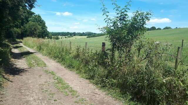
The forest is a popular destination for nature enthusiasts, offering numerous walking trails and paths that allow visitors to explore the peaceful surroundings. There are also designated picnic areas where visitors can relax and enjoy the tranquil environment.

The history of Bushydown Copse dates back centuries, with evidence of human activity in the area dating back to the Iron Age. It has also been used for timber production in the past, with remnants of old saw pits and charcoal platforms still visible within the woodland.

Overall, Bushydown Copse offers a serene and picturesque setting for those seeking to immerse themselves in nature and experience the beauty of a traditional English woodland.

If you have any feedback on the listing, please let us know in the comments section below.

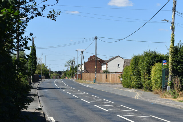
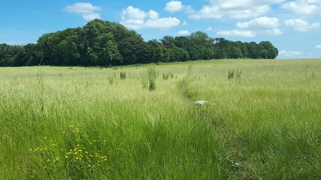
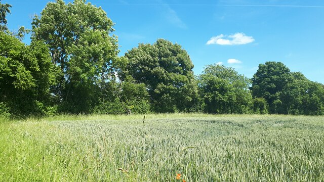
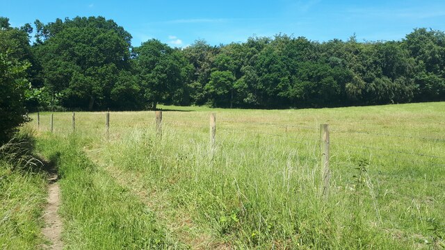
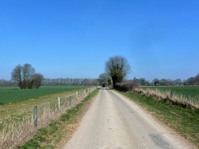
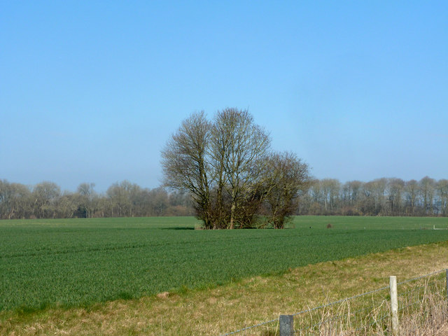
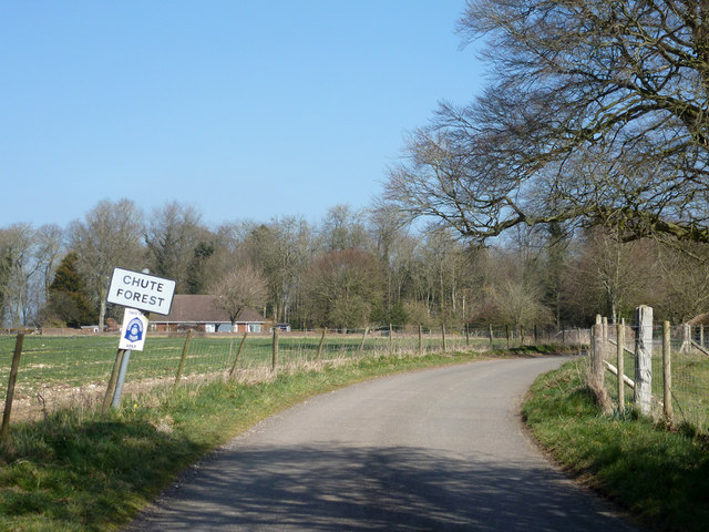
Bushydown Copse Images

Images are sourced within 2km of 51.259368/-1.5894147 or Grid Reference SU2851. Thanks to Geograph Open Source API. All images are credited.

Water towers at Faberstown
Andover Road, Faberstown
Bulls Drove
Bulls Drove
Field on the edge of Coldrigdedown Copse
Trees and housing beside Wood Park
Field edge path towards Oxdown Copse
Field east of Crawlboys Road
Line of trees leading to Stert Copse A thin line of trees dividing the fields and providing a corridor between two copses.
Line of trees leading to Stert Copse
A thin line of trees dividing the fields and providing a corridor between two copses.
Edge of Fairoak Copse Taken just as the footpath emerges from the woodland and continues southwards along the edge of the field.
Edge of Fairoak Copse
Taken just as the footpath emerges from the woodland and continues southwards along the edge of the field.
Grass and woodland at Coldridge Bottom
Lodge Lane Towards Chute Forest.
Lodge Lane
Towards Chute Forest.
Tree clump west of Lodge Lane One of three in the field.
Tree clump west of Lodge Lane
One of three in the field.
Entering Chute Forest on Lodge Lane
Farmland, Chute Forest A crop of winter barley just inside Wiltshire and north of the boundary with Hampshire.
Farmland, Chute Forest
A crop of winter barley just inside Wiltshire and north of the boundary with Hampshire.
Farmland, Chute Forest A crop of wheat to the west of Mankhorn Round (copse).
Farmland, Chute Forest
A crop of wheat to the west of Mankhorn Round (copse).
Redenham House Early 19th century, grade II*(star) listed.
Redenham House
Early 19th century, grade II*(star) listed.
Bus stops on A342 Andover Road Apparently for the benefit of one house off to the left.
Bus stops on A342 Andover Road
Apparently for the benefit of one house off to the left.
Old Milestone by the A342, Andover Road, Fyfield parish Metal plate attached to stone post by the A342, in parish of FYFIELD (TEST VALLEY District), near Andover Lane Farm, on wide grass verge in front of a hedge, on West side of road. Everleigh iron plate, erected by the Everley turnpike trust in the 19th century. 

Inscription once read:-
: (Devizes / 20) : : (Andover / 6) :

Milestone Society National ID: HA_ANDE06.
Old Milestone by the A342, Andover Road, Fyfield parish
Metal plate attached to stone post by the A342, in parish of FYFIELD (TEST VALLEY District), near Andover Lane Farm, on wide grass verge in front of a hedge, on West side of road. Everleigh iron plate, erected by the Everley turnpike trust in the 19th century. Inscription once read:- : (Devizes / 20) : : (Andover / 6) : Milestone Society National ID: HA_ANDE06.
Show me another place!

Bushydown Copse is located at Grid Ref: SU2851 (Lat: 51.259368, Lng: -1.5894147)

Unitary Authority: Wiltshire

Police Authority: Wiltshire

What 3 Words

///unloaded.charging.scarecrow. Near Ludgershall, Wiltshire

Related Wikis

Nearby Amenities

Located within 500m of 51.259368,-1.5894147
The data included in this document is from www.openstreetmap.org. The data is made available under ODbL.

Have you been to Bushydown Copse?

Leave your review of Bushydown Copse below (or comments, questions and feedback).