Carr Plantation

Wood, Forest in Durham

England

Carr Plantation

Integra 61 Groundwork Preparatory work for construction of new industrial units as part of the Integra 61 development.
Integra 61 Groundwork Credit: David Robinson

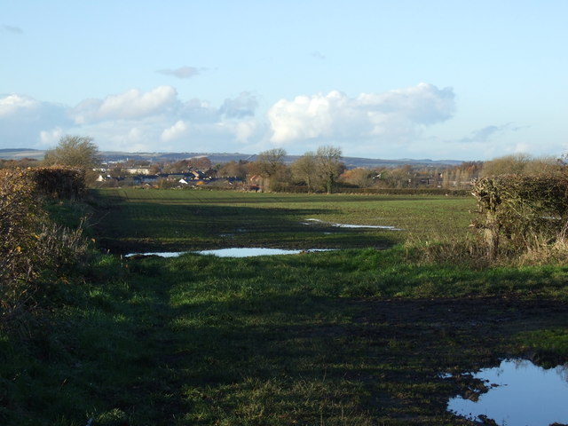
Carr Plantation, located in Durham, is a sprawling wooded area that forms part of the larger Durham Forest. Covering an area of approximately 200 hectares, this plantation is known for its diverse and vibrant ecosystem, offering visitors a serene escape into nature.

The plantation primarily consists of a mix of deciduous and coniferous trees, forming a dense and verdant forest. Oak, ash, maple, and pine are just a few of the tree species that dominate the landscape, providing a rich habitat for a variety of wildlife. The forest floor is covered with a thick layer of moss, ferns, and wildflowers, adding to the beauty and biodiversity of the area.

Carr Plantation is also home to several walking trails, offering visitors the opportunity to explore and appreciate the natural beauty at their own pace. These trails wind through the forest, showcasing picturesque views of the surrounding landscape, including small streams and ponds.

Nature enthusiasts and birdwatchers are particularly drawn to Carr Plantation due to its abundant birdlife. The forest provides a habitat for various species, including woodpeckers, warblers, and owls, making it a popular spot for birdwatching enthusiasts. Additionally, the plantation is home to a variety of mammals, such as deer, foxes, and squirrels, adding to the wildlife diversity.

Overall, Carr Plantation in Durham offers a tranquil retreat for those seeking a connection with nature. Its lush forests, well-maintained trails, and diverse wildlife make it a haven for outdoor enthusiasts and nature lovers alike.

If you have any feedback on the listing, please let us know in the comments section below.

Carr Plantation Images

Images are sourced within 2km of 54.738902/-1.5559359 or Grid Reference NZ2838. Thanks to Geograph Open Source API. All images are credited.

Integra 61 Groundwork Preparatory work for construction of new industrial units as part of the Integra 61 development.
Integra 61 Groundwork
Preparatory work for construction of new industrial units as part of the Integra 61 development.
Jet petrol station on the A177, Bowburn
Barn at High Shincliffe Off the A177
Barn at High Shincliffe
Off the A177
Church of Christ the King, Bowburn Built in 1976, this striking futuristic church stood in the former mining village of Bowburn. Unfortunately, it suffered serious design faults and was closed in September 2004. At the time of photography the building was in a sorry state with the roof in a poor state of repair, and the whole premises  fortified like Fort Knox against vandals. The building was demolished in May 2007, just leaving the cross standing.
Church of Christ the King, Bowburn
Built in 1976, this striking futuristic church stood in the former mining village of Bowburn. Unfortunately, it suffered serious design faults and was closed in September 2004. At the time of photography the building was in a sorry state with the roof in a poor state of repair, and the whole premises fortified like Fort Knox against vandals. The building was demolished in May 2007, just leaving the cross standing.
The Oak Tree Pub, Bowburn
Bowburn church An interesting and very striking building but a flawed design and it was sadly demolished after standing empty for several years.
Bowburn church
An interesting and very striking building but a flawed design and it was sadly demolished after standing empty for several years.
Oak Tree, Prince Charles Avenue, Bowburn
A177 at Bowburn
A177 at Bowburn
A177 Bowburn Just outside Durham
A177 Bowburn
Just outside Durham
The Church of Christ the King, Bowburn in 1992 Known locally as the 'Pineapple Church'
The Church of Christ the King, Bowburn in 1992
Known locally as the 'Pineapple Church'
Farmland off Tail-upon-End Lane
Farmland near Bowburn
Service station on the A177 near Bowburn
Farmland off the A177 near Bowburn
A177 towards Durham
A177 towards Durham
Farm building near Moor House Farm
Bus stop at Bowburn This is on the A177 at the northernmost end of the village. Viewed looking south. This road leads north to Durham City.
Bus stop at Bowburn
This is on the A177 at the northernmost end of the village. Viewed looking south. This road leads north to Durham City.
Bridleway from the A177 to South Grange and beyond
Show me another place!

Carr Plantation is located at Grid Ref: NZ2838 (Lat: 54.738902, Lng: -1.5559359)

Unitary Authority: County Durham

Police Authority: Durham

What 3 Words

///dispensed.visual.snips. Near Bowburn, Co. Durham

Related Wikis

Croxdale Hall

Croxdale Hall is a privately owned country mansion situated at Croxdale near Sunderland Bridge, County Durham. It is a Grade I listed building. == Ownership... ==

Butterby Oxbow

Butterby Oxbow is a Site of Special Scientific Interest in the Durham City district of County Durham, England. It consists of a former meander of the...
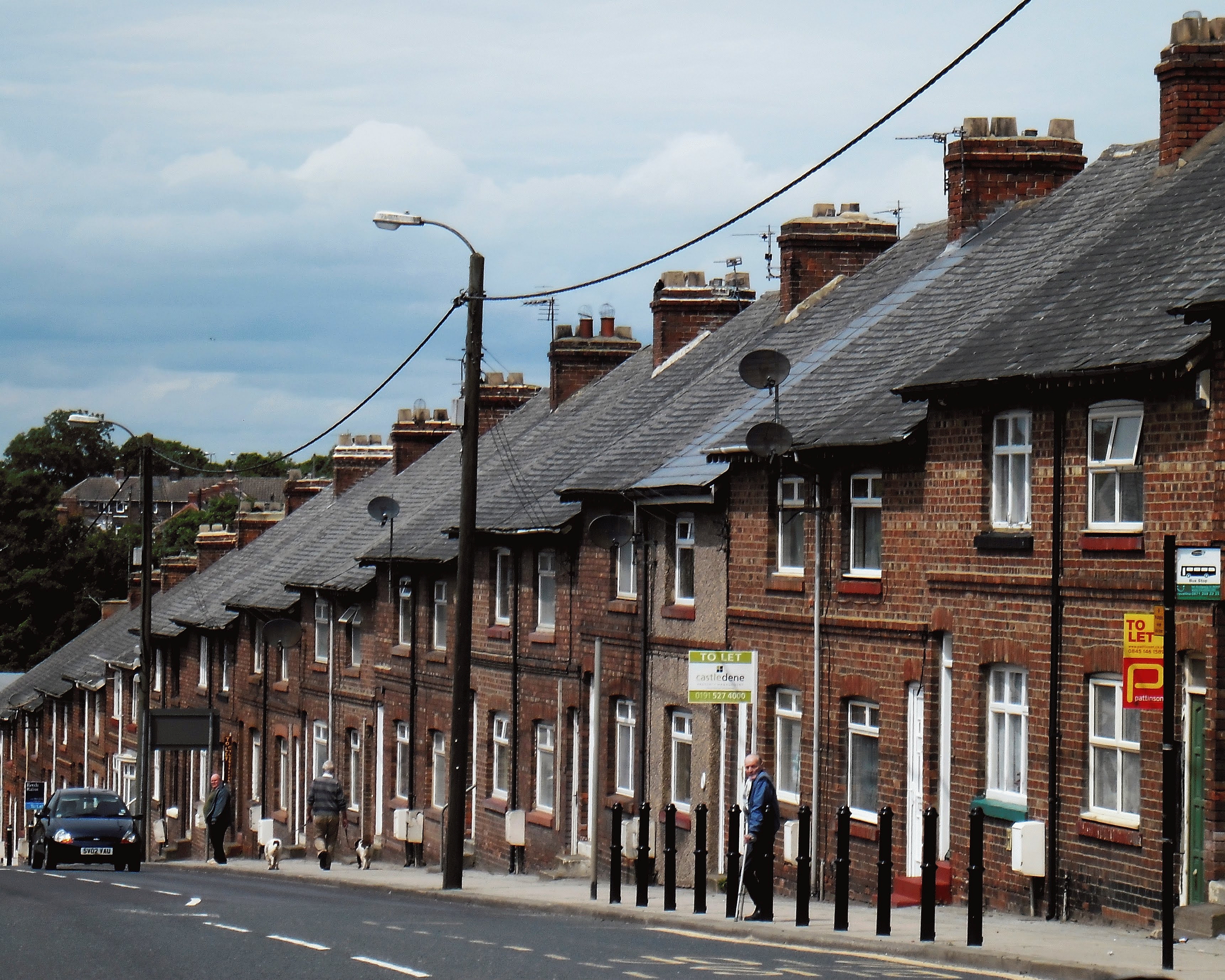
Bowburn

Bowburn is a village in County Durham, England. It is situated about 3 miles (4.8 km) to the south-east of Durham, on the A177, between Coxhoe to the south...

Croxdale and Hett

Croxdale and Hett is a civil parish in County Durham, England. It is situated approximately four miles south of Durham. The population of the civil parish...

Nearby Amenities

Located within 500m of 54.738902,-1.5559359
Barrier: stile
Lat/Long: 54.7367733/-1.5564622
Barrier: stile
Lat/Long: 54.7362035/-1.5561789
Barrier: stile
Lat/Long: 54.7381177/-1.5616727
Barrier: stile
Lat/Long: 54.7380988/-1.5616582
Barrier: stile
Lat/Long: 54.7402189/-1.5614882
Power: pole
Lat/Long: 54.7402494/-1.5602156
Ele: 88.57
Power: pole
Lat/Long: 54.740366/-1.5595644
Power: pole
Lat/Long: 54.7407715/-1.5577285
Power: pole
Lat/Long: 54.7392912/-1.5593693
Power: pole
Lat/Long: 54.7382196/-1.5591788
Power: pole
Lat/Long: 54.7370242/-1.5589535
Power: pole
Lat/Long: 54.735773/-1.5587148
Power: pole
Lat/Long: 54.7349042/-1.5585378
High Butterby Farm
Addr City: Durham
Addr Postcode: DH1 2TJ
Place: farm
Source Postcode: CodePoint Open
Lat/Long: 54.7430003/-1.553506
Barrier: entrance
Lat/Long: 54.7417647/-1.5530216
Barrier: entrance
Lat/Long: 54.7412333/-1.5541749
Power: pole
Lat/Long: 54.7421479/-1.5516646
Power: pole
Lat/Long: 54.7419203/-1.5526691
Power: pole
Lat/Long: 54.7416153/-1.5540209
Power: pole
Lat/Long: 54.7412158/-1.5557604
Power: pole
Transformer: distribution
Lat/Long: 54.7427541/-1.5528689
Power: pole
Lat/Long: 54.740084/-1.5633953
Power: pole
Lat/Long: 54.7399028/-1.5615499
Barrier: entrance
Lat/Long: 54.7381118/-1.5616684
The data included in this document is from www.openstreetmap.org. The data is made available under ODbL.

Have you been to Carr Plantation?

Leave your review of Carr Plantation below (or comments, questions and feedback).