Gritnam Wood

Wood, Forest in Hampshire New Forest

England

Gritnam Wood

Signage - A337 southbound
Signage - A337 southbound Credit: Dave Thompson

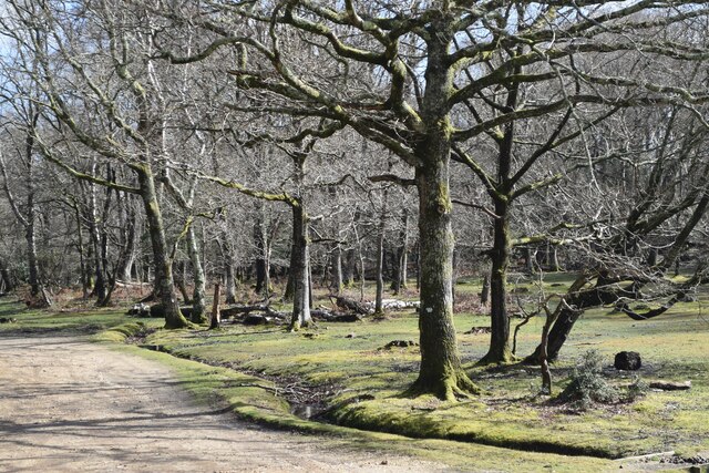
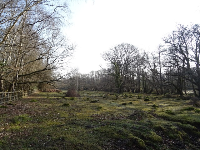
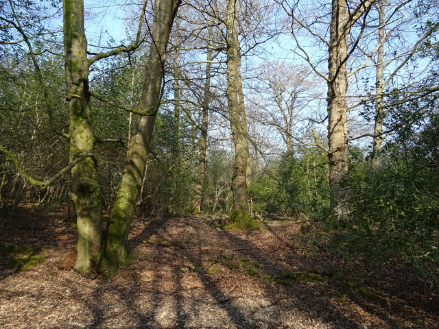
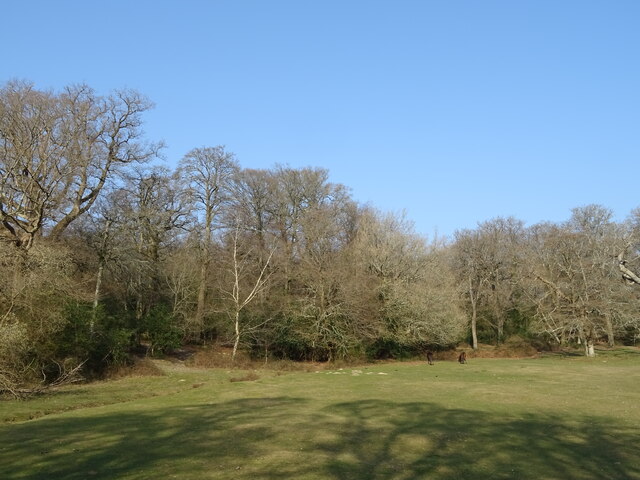
Gritnam Wood is a picturesque woodland located in Hampshire, England. Covering an area of approximately 500 acres, it is nestled within the beautiful New Forest National Park. The wood is known for its diverse wildlife and stunning natural beauty, making it a popular destination for nature lovers and outdoor enthusiasts.

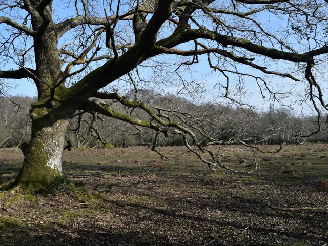
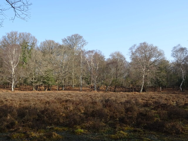
The woodland is predominantly made up of deciduous trees, including oak, beech, and birch, which create a vibrant and ever-changing landscape throughout the seasons. The dense canopy provides a habitat for a wide range of animals, such as deer, badgers, foxes, and a variety of bird species.

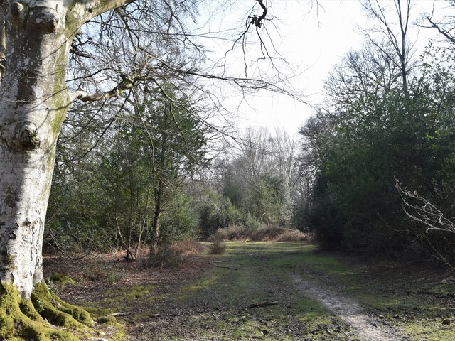
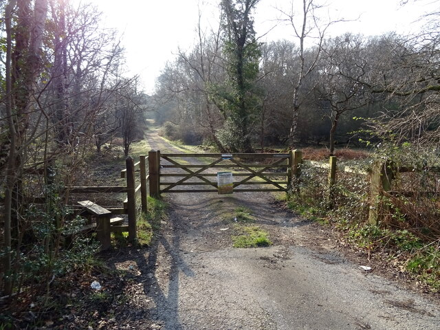
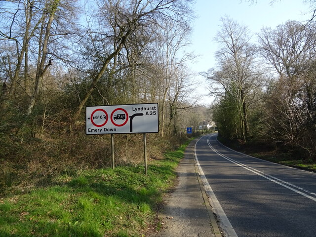
Gritnam Wood is crisscrossed with a network of walking trails, allowing visitors to explore the area at their own pace. These trails provide access to the heart of the forest, where visitors can immerse themselves in the tranquility and serenity of nature. The wood also features a small stream, adding to its natural charm.

During the spring and summer months, Gritnam Wood bursts into life with a carpet of wildflowers, including bluebells and primroses. This vibrant display of colors is a sight to behold and attracts many photographers and nature enthusiasts.

The woodland is managed by the Forestry Commission, ensuring its preservation and protection for future generations. Visitors are encouraged to respect the natural environment and follow the designated trails to minimize their impact on the delicate ecosystem.

Overall, Gritnam Wood is a hidden gem in Hampshire, offering a unique opportunity to connect with nature and experience the tranquility of a beautiful forest setting.

If you have any feedback on the listing, please let us know in the comments section below.
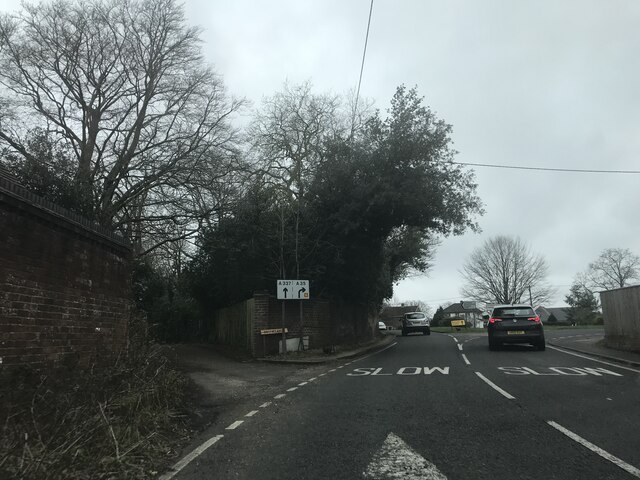
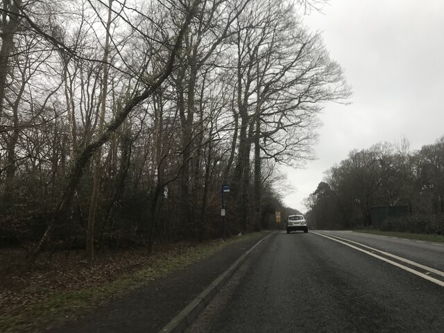
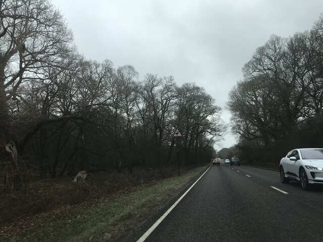
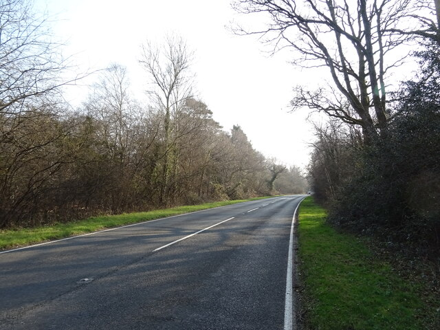
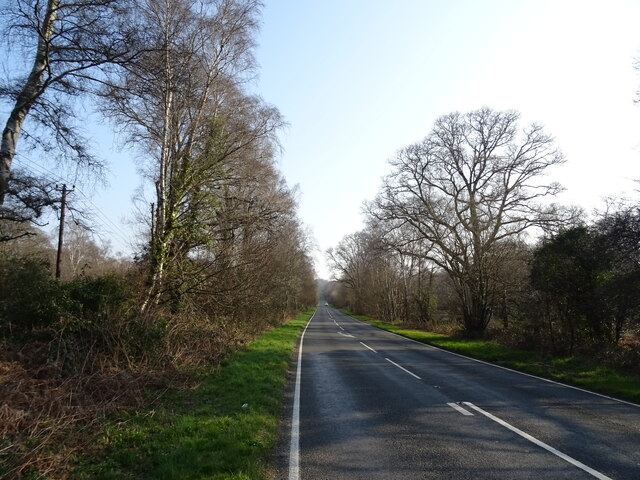
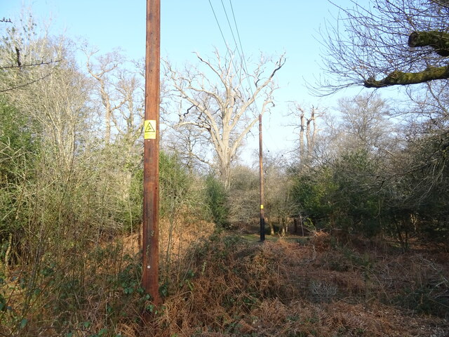
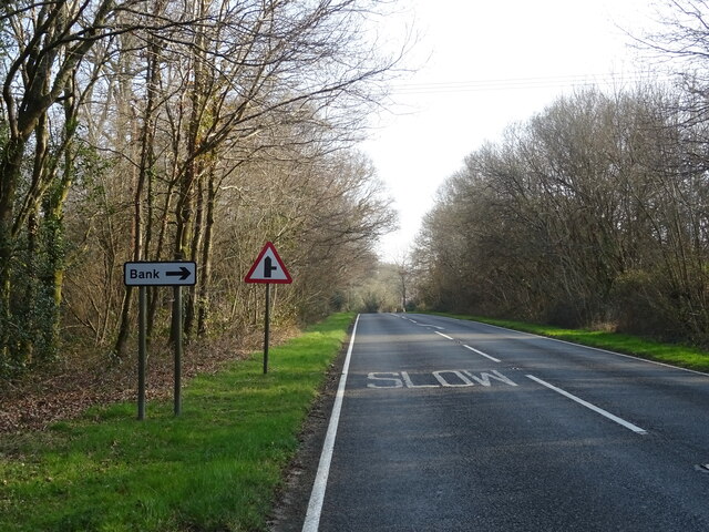
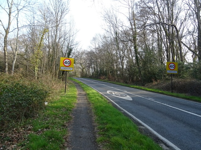
Gritnam Wood Images

Images are sourced within 2km of 50.856011/-1.593831 or Grid Reference SU2806. Thanks to Geograph Open Source API. All images are credited.

Signage - A337 southbound
Bus stop - A337 southbound
Signage - A337 southbound
Beside the car park at Clayhill Heath
The Swan Pub on the A35 out of Lyndhurst
The Swan
Pub on the A35 out of Lyndhurst
Old oak and forest clearing
Forest track South from James Hill car park
Forest track
South from James Hill car park
Woodland, Warwick Slade
A35 towards Lyndhurst  The A35 is a major (and regularly congested) route along England's south coast. It runs for 97 miles, connecting Honiton in Devon with Southampton in Hampshire, via Poole and Bournemouth, with much of its route passing through Dorset and the New Forest. It is a trunk road for some of its length.
<span class="nowrap"><a title="http://www.sabre-roads.org.uk/wiki/index.php?title=A35" rel="nofollow ugc noopener" href="http://www.sabre-roads.org.uk/wiki/index.php?title=A35">Link</a><img style="margin-left:2px;" alt="External link" title="External link - shift click to open in new window" src="https://s1.geograph.org.uk/img/external.png" width="10" height="10"/></span>  SABRE
A35 towards Lyndhurst
The A35 is a major (and regularly congested) route along England's south coast. It runs for 97 miles, connecting Honiton in Devon with Southampton in Hampshire, via Poole and Bournemouth, with much of its route passing through Dorset and the New Forest. It is a trunk road for some of its length. LinkExternal link SABRE
Grazing beside the A35
Gated track to sewage works
A35 towards Lyndhurst  The A35 is a major (and regularly congested) route along England's south coast. It runs for 97 miles, connecting Honiton in Devon with Southampton in Hampshire, via Poole and Bournemouth, with much of its route passing through Dorset and the New Forest. It is a trunk road for some of its length.
<span class="nowrap"><a title="http://www.sabre-roads.org.uk/wiki/index.php?title=A35" rel="nofollow ugc noopener" href="http://www.sabre-roads.org.uk/wiki/index.php?title=A35">Link</a><img style="margin-left:2px;" alt="External link" title="External link - shift click to open in new window" src="https://s1.geograph.org.uk/img/external.png" width="10" height="10"/></span>  SABRE
A35 towards Lyndhurst
The A35 is a major (and regularly congested) route along England's south coast. It runs for 97 miles, connecting Honiton in Devon with Southampton in Hampshire, via Poole and Bournemouth, with much of its route passing through Dorset and the New Forest. It is a trunk road for some of its length. LinkExternal link SABRE
Powerlines and woodland near Bank
A35 near Bank The A35 is a major (and regularly congested) route along England's south coast. It runs for 97 miles, connecting Honiton in Devon with Southampton in Hampshire, via Poole and Bournemouth, with much of its route passing through Dorset and the New Forest. It is a trunk road for some of its length.
<span class="nowrap"><a title="http://www.sabre-roads.org.uk/wiki/index.php?title=A35" rel="nofollow ugc noopener" href="http://www.sabre-roads.org.uk/wiki/index.php?title=A35">Link</a><img style="margin-left:2px;" alt="External link" title="External link - shift click to open in new window" src="https://s1.geograph.org.uk/img/external.png" width="10" height="10"/></span>  SABRE
A35 near Bank
The A35 is a major (and regularly congested) route along England's south coast. It runs for 97 miles, connecting Honiton in Devon with Southampton in Hampshire, via Poole and Bournemouth, with much of its route passing through Dorset and the New Forest. It is a trunk road for some of its length. LinkExternal link SABRE
Entering Lyndhurst  on the A35
Entering Lyndhurst on the A35
Woodland, Lyndhurst Hill
A35 Lyndhurst Hill
A35 Lyndhurst Hill
Grazing and woodland, Swan Green
Show me another place!

Gritnam Wood is located at Grid Ref: SU2806 (Lat: 50.856011, Lng: -1.593831)

Administrative County: Hampshire

District: New Forest

Police Authority: Hampshire

What 3 Words

///apprehend.foremost.positive. Near Lyndhurst, Hampshire

Nearby Locations

Gritnam Gritnam Wood

Related Wikis

Bank, Hampshire

Bank is a village in the English county of Hampshire. The settlement is within the civil parish of Lyndhurst in the New Forest, and is located approximately...

Allum Green

Allum Green is a hamlet southwest of Lyndhurst, Hampshire, England. During the night of 5/6 September 1940 it was the scene of a Luftwaffe bombing raid...

Warwickslade Cutting Railway

The Warwickslade Cutting Railway was a light railway temporarily built to fill in the Warwickslade Cutting, a straight drainage ditch dug circa 1850 in...

Lyndhurst, Hampshire

Lyndhurst is a large village and civil parish situated in the New Forest National Park in Hampshire, England, about nine miles (14 km) south-west of Southampton...

Nearby Amenities

Located within 500m of 50.856011,-1.593831
Barrier: cattle_grid
Lat/Long: 50.859849/-1.5915863
Bridge: yes
Lat/Long: 50.8591486/-1.5988817
Gritnam
Is In: Hampshire, UK
Place: hamlet
Lat/Long: 50.8577622/-1.5996556
Parking
Capacity: 6
Lat/Long: 50.8597884/-1.5917339
The data included in this document is from www.openstreetmap.org. The data is made available under ODbL.

Have you been to Gritnam Wood?

Leave your review of Gritnam Wood below (or comments, questions and feedback).