Dent Bank

Settlement in Durham

England

Dent Bank

Rumours and Uttas Rumours coffee shop and the HQ of the Upper Teesdale Agricultural Support Services.
Rumours and Uttas Credit: Colin Kinnear

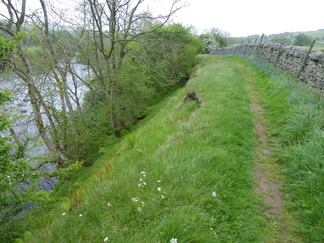
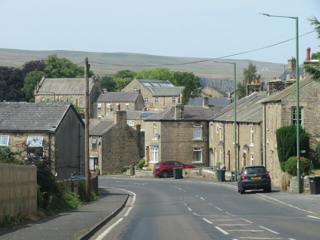
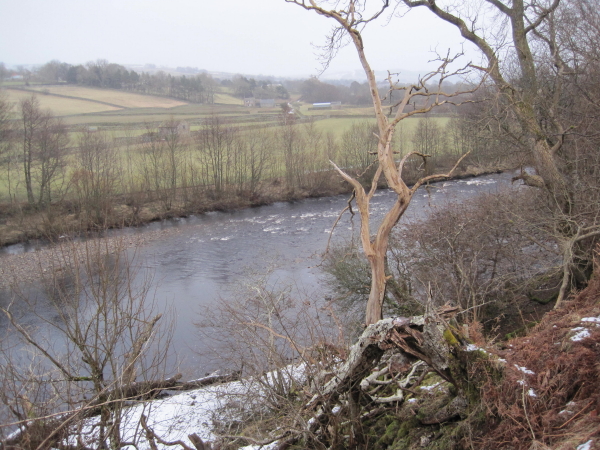
Dent Bank is a small village located in County Durham, England. Situated on the banks of the River Tees, it is part of the larger district of Teesdale. With a population of around 200 residents, Dent Bank exudes a peaceful and rural ambiance.

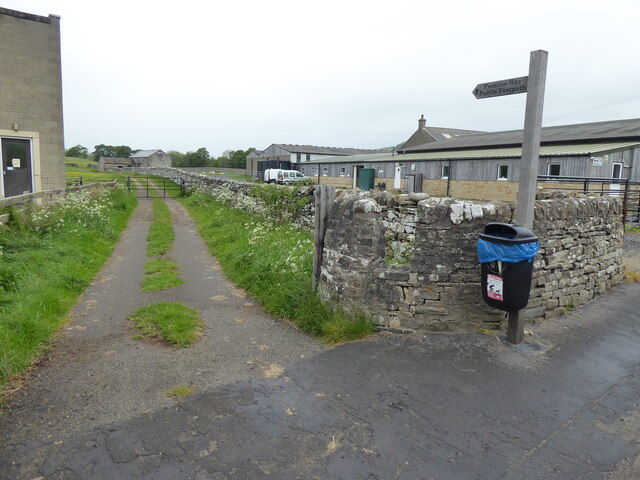
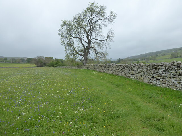
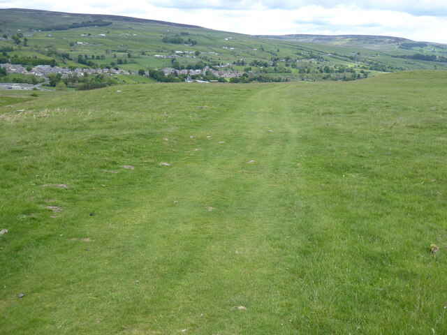
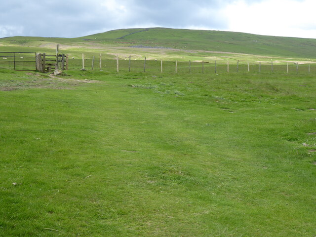
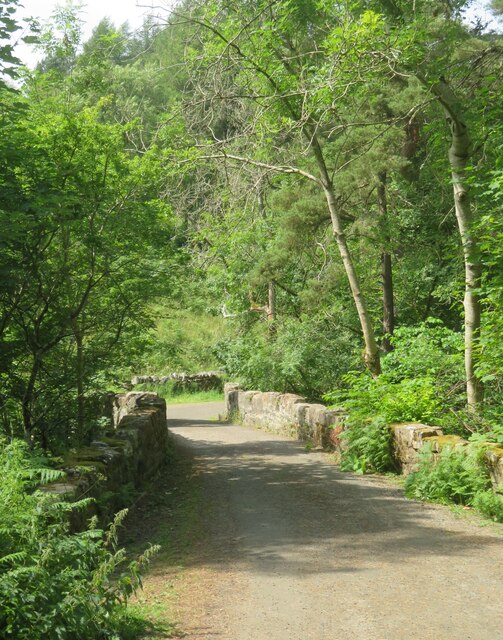
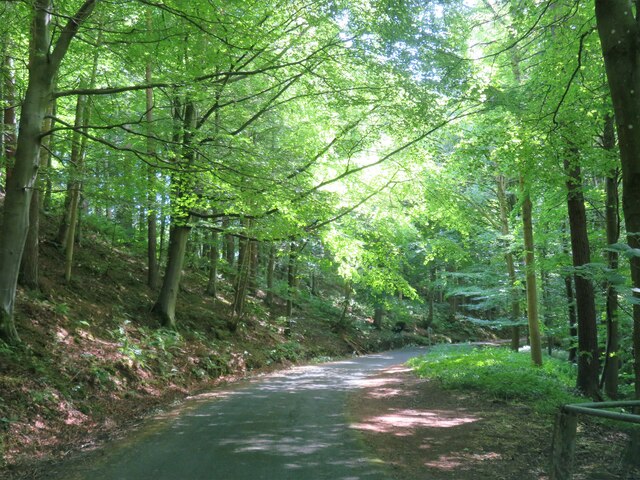
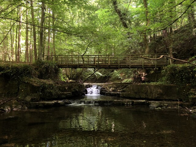
The village is known for its picturesque surroundings and serene atmosphere, making it a popular destination for nature enthusiasts and those seeking a tranquil retreat. The surrounding landscape is characterized by rolling hills, lush green meadows, and dense woodland, providing ample opportunities for outdoor activities such as hiking, fishing, and birdwatching.

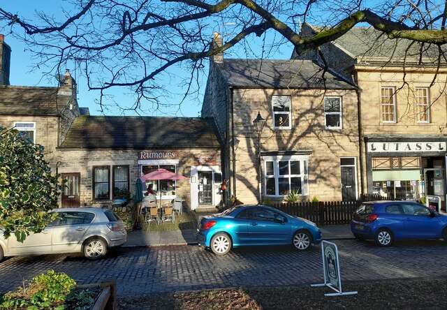
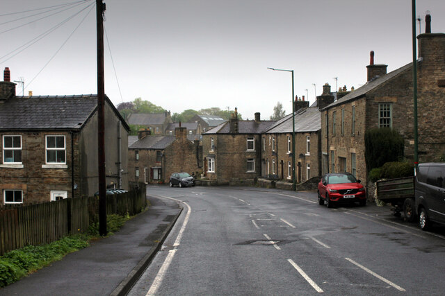
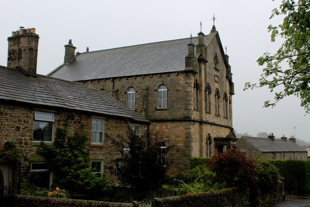
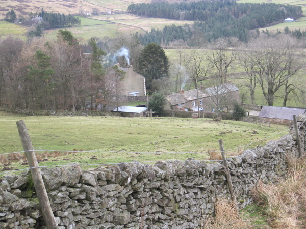
Dent Bank is home to a number of charming stone cottages, giving it a quaint and traditional feel. The village also boasts a few local amenities, including a small convenience store and a traditional pub, which serves as a social hub for the community.

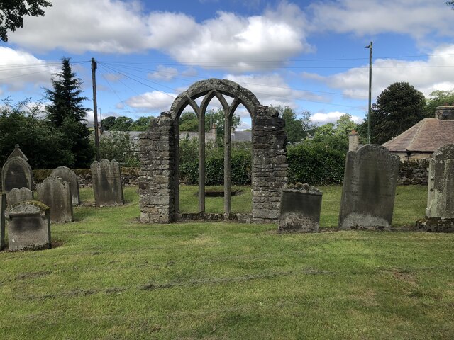
Historically, Dent Bank played a significant role in the region's industrial past. The village was once home to a thriving lead mining industry, with numerous mines scattered across the area. Today, remnants of this industrial heritage can still be seen in the form of abandoned mine shafts and ruins.

Overall, Dent Bank offers a serene and idyllic setting, making it an ideal destination for those seeking a peaceful retreat amidst the beautiful countryside of County Durham.

If you have any feedback on the listing, please let us know in the comments section below.

Dent Bank Images

Images are sourced within 2km of 54.630068/-2.1051759 or Grid Reference NY9326. Thanks to Geograph Open Source API. All images are credited.

Rumours and Uttas Rumours coffee shop and the HQ of the Upper Teesdale Agricultural Support Services.
Rumours and Uttas
Rumours coffee shop and the HQ of the Upper Teesdale Agricultural Support Services.
Entering Middleton-in-Teesdale on the B6282 Entering the village on a wet day
Entering Middleton-in-Teesdale on the B6282
Entering the village on a wet day
Former Methodist Chapel, Middleton-in-Teesdale Former Primitive Methodist Church, now a private dwelling
Former Methodist Chapel, Middleton-in-Teesdale
Former Primitive Methodist Church, now a private dwelling
The Pennine Way near Middleton-in-Teesdale
The Pennine Way near East Crossthwaite
The Pennine Way near Middle Crossthwaite
The Pennine Way near Park End Wood
The Pennine Way near Mill Beck Wood
The Pennine Way by the River Tees
The Pennine Way near Middleton Quarries
The Pennine Way towards Rams Gill
Heading into Middleton in Teesdale The B6282 dropping into Middleton from the direction of Eggleston.
Heading into Middleton in Teesdale
The B6282 dropping into Middleton from the direction of Eggleston.
Bridge at the road end Bridge over Hudeshope Beck at the point where the tarmac runs out and a footpath begins.
Bridge at the road end
Bridge over Hudeshope Beck at the point where the tarmac runs out and a footpath begins.
Road through the woods Heading south towards Middleton in Teesdale along the minor road above the Hudeshope Beck.
Road through the woods
Heading south towards Middleton in Teesdale along the minor road above the Hudeshope Beck.
Window tracery from former church Grade II listed C13th window tracery from former church of St Mary, set in the graveyard of the modern church.
Window tracery from former church
Grade II listed C13th window tracery from former church of St Mary, set in the graveyard of the modern church.
Footbridge across Hudeshope Beck
Show me another place!

Dent Bank is located at Grid Ref: NY9326 (Lat: 54.630068, Lng: -2.1051759)

Unitary Authority: County Durham

Police Authority: Durham

What 3 Words

///hope.thumps.thousands. Near Newbiggin, Co. Durham

Related Wikis

Dent Bank

Dent Bank is a small village in County Durham, in England. It is situated on the north side of Teesdale between Middleton-in-Teesdale and Newbiggin....

Middle Side and Stonygill Meadows

Middle Side and Stonygill Meadows is a Site of Special Scientific Interest in the Teesdale district of County Durham, England. It consists of two separate...

Middle Side

Middle Side is a village in County Durham, in England. It is situated on the north side of Teesdale between Middleton-in-Teesdale and Newbiggin. ��2�...

Middle Crossthwaite

Middle Crossthwaite is a Site of Special Scientific Interest in the Teesdale district of County Durham, England. It is situated on the south bank of the...

Park End Wood

Park End Wood is a Site of Special Scientific Interest in the Teesdale district of west County Durham, England. The site occupies a low hill of Whin Sill...

Aukside

Aukside is a small village in County Durham, in England. It is situated on the north side of Teesdale, a short distance from Middleton-in-Teesdale. It...

High Dyke, County Durham

High Dyke is a village in County Durham, in England. It is situated a short distance to the north of Middleton-in-Teesdale. == References ==

Middleton-in-Teesdale railway station

Middleton-in-Teesdale railway station was the terminus of the Tees Valley Railway from Barnard Castle. It served the town of Middleton-in-Teesdale. The...

Nearby Amenities

Located within 500m of 54.630068,-2.1051759
Bus Stop
Cassell Bank
Naptan AtcoCode: 13007846D
Naptan Bearing: SE
Naptan BusStopType: MKD
Naptan CommonName: Cassell Bank
Naptan Indicator: SE-bound
Naptan NaptanCode: durgajgt
Naptan Notes: Opposite Skara Brae (House Name)- 9a Alston Road- B6277- Dent Bank- Middleton-in-Teesdale
Naptan RevisionNumber: 4
Naptan Street: B6277
Naptan Verified: no
Old Name: Bus stop
Source: naptan_import
Lat/Long: 54.6305975/-2.1059717
Bus Stop
Cassell Bank
Naptan AtcoCode: 13007846H
Naptan Bearing: NW
Naptan BusStopType: MKD
Naptan CommonName: Cassell Bank
Naptan Indicator: NW-bound
Naptan NaptanCode: durgajgw
Naptan Notes: Outside Skara Brae (House Name)- 9a Alston Road- Dent Bank- Middleton-in-Teesdale
Naptan RevisionNumber: 4
Naptan Street: B6277
Naptan Verified: no
Old Name: Bus stop
Source: naptan_import
Lat/Long: 54.6305614/-2.1060801
Barrier: stile
Foot: yes
Lat/Long: 54.6271592/-2.1079343
Middle Side
Is In Valley: Teesdale
Old Name: Middleside
Place: hamlet
Source: OS 1:25k
Wikidata: Q6841596
Wikipedia: en:Middle Side
Lat/Long: 54.6324169/-2.1007256
Dent Bank
Place: hamlet
Source: OS 1:25k
Wikidata: Q5259368
Wikipedia: en:Dent Bank
Lat/Long: 54.629499/-2.1042667
Crook Hill
Natural: peak
Source: OS 1:25k
Lat/Long: 54.6267545/-2.1057473
Man Made: water_well
Source: OS 1:25k
Lat/Long: 54.6337095/-2.1036659
Stonygill Foot
Place: farm
Source: OS 1:25k
Lat/Long: 54.6322936/-2.1086012
Barrier: stile
Foot: yes
Lat/Long: 54.6284744/-2.1119823
Traffic Mirror
Lat/Long: 54.6318234/-2.1079715
Bench
Lat/Long: 54.6278582/-2.0998368
Generator Method: photovoltaic
Generator Output: small_installation
Generator Source: solar
Location: roof
Power: generator
Source: Bing
Lat/Long: 54.6322758/-2.0998694
The data included in this document is from www.openstreetmap.org. The data is made available under ODbL.

Have you been to Dent Bank?

Leave your review of Dent Bank below (or comments, questions and feedback).