Dennyloanhead

Settlement in Stirlingshire

Scotland

Dennyloanhead

Minor road at Easter Banknock
Minor road at Easter Banknock Credit: Steven Brown

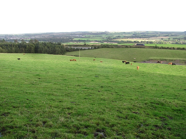
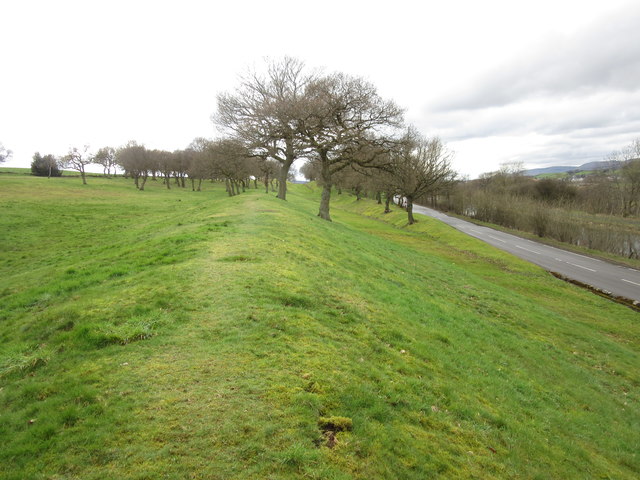
Dennyloanhead is a small village located in the Stirlingshire region of Scotland. Situated approximately 7 miles northwest of Falkirk and 6 miles south of Stirling, it lies in the heart of the central belt of Scotland. The village is part of the Falkirk council area and is surrounded by picturesque countryside, offering residents and visitors a peaceful and scenic environment.

Dennyloanhead has a population of around 5,000 people and is well-connected with nearby towns and cities through road and rail networks. The M876 motorway runs close to the village, providing easy access to other parts of Scotland. The nearby Falkirk Grahamston railway station offers regular services to Glasgow, Edinburgh, and other major cities.

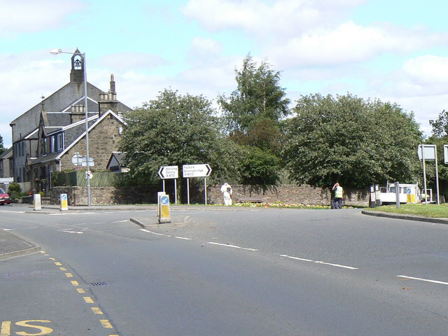
The village has a range of amenities to cater to the needs of its residents. There are several local shops, including convenience stores, grocery stores, and a post office. Dennyloanhead also has a primary school, providing education for children within the village and surrounding areas.

Within the village, there are various recreational facilities, including parks and sports fields, allowing residents to enjoy outdoor activities. The nearby Falkirk Wheel, a unique rotating boat lift and visitor attraction, is a popular destination for tourists and locals alike.

Dennyloanhead is a close-knit community with a friendly atmosphere. It offers a peaceful residential environment while maintaining easy access to larger urban areas. The village's strategic location makes it an ideal place for those seeking a tranquil lifestyle with convenient access to nearby amenities and transport links.

If you have any feedback on the listing, please let us know in the comments section below.

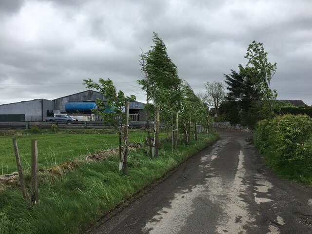
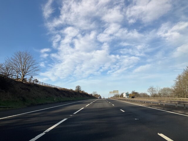
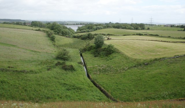
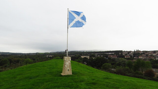
Dennyloanhead Images

Images are sourced within 2km of 55.998091/-3.911725 or Grid Reference NS8079. Thanks to Geograph Open Source API. All images are credited.

Minor road at Easter Banknock
Kelt Road between Braeface and Easter Kelt Looking north-eastward.
Kelt Road between Braeface and Easter Kelt
Looking north-eastward.
Track giving access to Wester Banknock Looking south-eastward.
Track giving access to Wester Banknock
Looking south-eastward.
Ordnance Survey Cut Mark This inverted mark can be for on a road bridge near Easter Wards.
The recorded details give a height of 107.951 metres above sea level.
For more detail see : <span class="nowrap"><a title="https://www.bench-marks.org.uk/bm171164" rel="nofollow ugc noopener" href="https://www.bench-marks.org.uk/bm171164">Link</a><img style="margin-left:2px;" alt="External link" title="External link - shift click to open in new window" src="https://s1.geograph.org.uk/img/external.png" width="10" height="10"/></span>
Ordnance Survey Cut Mark
This inverted mark can be for on a road bridge near Easter Wards. The recorded details give a height of 107.951 metres above sea level. For more detail see : LinkExternal link
M80 - southbound
M80 - southbound
Little Denny Burn The burn leads into Little Denny Reservoir in the distance.
Little Denny Burn
The burn leads into Little Denny Reservoir in the distance.
Little Denny Reservoir The Little Denny Burn flows through the hollow in the foreground.
Little Denny Reservoir
The Little Denny Burn flows through the hollow in the foreground.
Cowden Hill Trig Point at Bonnybridge
Bridge Street, Bonnybridge
Canalbank Workshops and Offices Appears to be sole remains of former foundry
Canalbank Workshops and Offices
Appears to be sole remains of former foundry
New apartment block on Falkirk Road On site of Bonnybridge Social Club
New apartment block on Falkirk Road
On site of Bonnybridge Social Club
Bonnyside Road A mixture of older cottages and new build houses
Bonnyside Road
A mixture of older cottages and new build houses
Forth & Clyde Canal: Bonnybridge Looking to the lifting bridge
Forth & Clyde Canal: Bonnybridge
Looking to the lifting bridge
Modern milestone The last of the Millennium milestones, distance markers, travelling eastwards on the Forth Clyde canal before reaching the Falkirk Wheel.  It is near the lifting bridge taking the road over the canal.  All the plates on the stones on the main Forth Clyde route have distances in kilometres.    A couple of plaques on the Port Dundas branch into Glasgow have the distances in miles.  All the plaques are set onto large uneven rectangular blocks of stone.
Modern milestone
The last of the Millennium milestones, distance markers, travelling eastwards on the Forth Clyde canal before reaching the Falkirk Wheel. It is near the lifting bridge taking the road over the canal. All the plates on the stones on the main Forth Clyde route have distances in kilometres. A couple of plaques on the Port Dundas branch into Glasgow have the distances in miles. All the plaques are set onto large uneven rectangular blocks of stone.
Signage - M80 southbound
Cattle grazing at Banknock Fields above the M80.
Cattle grazing at Banknock
Fields above the M80.
Underwood Lock, Forth and Clyde Canal
Antonine Wall, Seabegs Wood One of the best preserved sections of the Antonine Wall, the ditch and rampart remains clearly defined.
Antonine Wall, Seabegs Wood
One of the best preserved sections of the Antonine Wall, the ditch and rampart remains clearly defined.
Show me another place!

Dennyloanhead is located at Grid Ref: NS8079 (Lat: 55.998091, Lng: -3.911725)

Unitary Authority: Falkirk

Police Authority: Forth Valley

What 3 Words

///blinking.windy.modifies. Near Dennyloanhead, Falkirk

Nearby Locations

Parkfoot Dennyloanhead

Related Wikis

Dennyloanhead

Dennyloanhead (Scottish Gaelic: Ceann Lòn an Daingneach) is a village in the Falkirk council area, Central Scotland, that is between Head of Muir and Longcroft...

A803 road

The A803 is a road in central Scotland. It runs from Glasgow to Champany Corner, three miles (4.8 km) due north-east of Linlithgow). == Route == Beginning...

Seabegs Wood

Seabegs Wood was the site of a Roman fortlet on the Antonine Wall in Scotland. At Seabegs, the outline of Antonine's Wall, has lasted. Archaeologists from...

Dennyloanhead railway station

Dennyloanhead railway station served the village of Longcroft, Falkirk, Scotland from 1888 to 1935 on the Kilsyth and Bonnybridge Railway. == History... ==

Nearby Amenities

Located within 500m of 55.998091,-3.911725
Dennyloanhead
Place: village
Source: npe
Lat/Long: 55.9992046/-3.9107974
Mini Roundabout
Direction: clockwise
Lat/Long: 55.9988547/-3.9104046
Noexit: yes
Lat/Long: 55.995204/-3.917849
Generator Method: photovoltaic
Generator Output Electricity: yes
Generator Source: solar
Generator Type: solar_photovoltaic_panel
Power: generator
Lat/Long: 55.9998127/-3.9137097
Generator Method: photovoltaic
Generator Output Electricity: yes
Generator Source: solar
Generator Type: solar_photovoltaic_panel
Power: generator
Lat/Long: 56.0003267/-3.9125064
Generator Method: photovoltaic
Generator Output Electricity: yes
Generator Source: solar
Generator Type: solar_photovoltaic_panel
Power: generator
Lat/Long: 55.9990793/-3.9095485
Generator Method: photovoltaic
Generator Output Electricity: yes
Generator Source: solar
Generator Type: solar_photovoltaic_panel
Power: generator
Lat/Long: 56.0007127/-3.9118378
Give Way
Direction: backward
Lat/Long: 56.0001893/-3.906501
Give Way
Direction: forward
Lat/Long: 56.0001211/-3.9064833
Give Way
Direction: forward
Lat/Long: 56.0002642/-3.90607
The data included in this document is from www.openstreetmap.org. The data is made available under ODbL.

Have you been to Dennyloanhead?

Leave your review of Dennyloanhead below (or comments, questions and feedback).