Parkfoot

Settlement in Stirlingshire

Scotland

Parkfoot

Minor road at Easter Banknock
Minor road at Easter Banknock Credit: Steven Brown

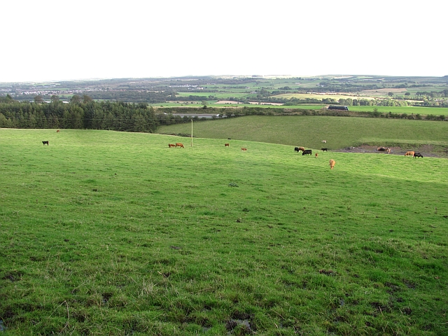
Parkfoot is a small village located in the Stirlingshire region of Scotland. Situated approximately 4 miles east of Stirling, it is nestled within the picturesque countryside and boasts stunning views of the surrounding hills and farmland. With a population of around 300 residents, Parkfoot is a close-knit community that offers a peaceful and tranquil living environment.

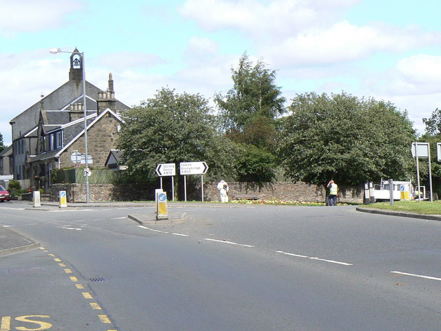
The village is primarily residential, consisting of a mix of traditional stone-built houses and modern properties. It benefits from a well-maintained infrastructure, including paved roads and footpaths, making it easily accessible to residents and visitors alike. While Parkfoot does not have its own amenities, the nearby town of Stirling provides all the necessary facilities, including shops, schools, healthcare centers, and recreational options.

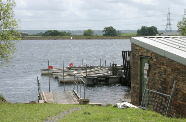
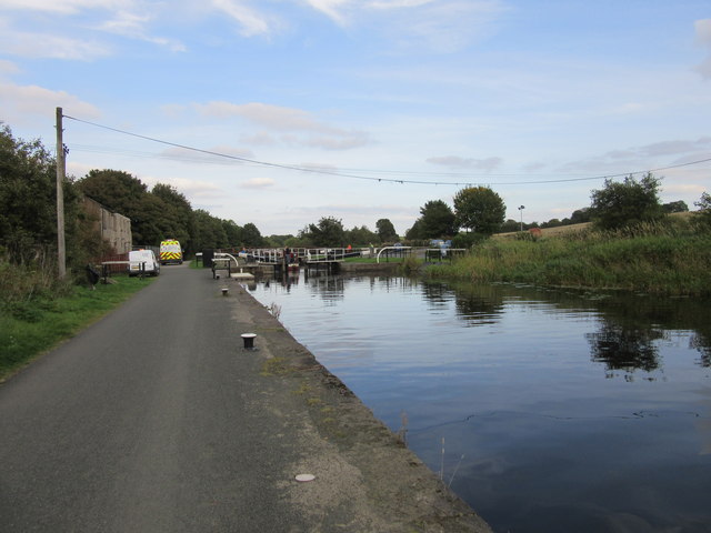
Parkfoot is renowned for its natural beauty, with numerous walking and cycling trails in the area. The nearby Ochil Hills provide ample opportunities for outdoor enthusiasts to explore the countryside, with breathtaking views and abundant wildlife. The village also benefits from its proximity to the River Forth, offering fishing and boating activities.

The community spirit in Parkfoot is strong, with regular social events and gatherings organized by local residents. This fosters a friendly and welcoming atmosphere for newcomers and ensures a sense of belonging for all inhabitants.

In summary, Parkfoot is a charming village in Stirlingshire, Scotland, that offers a peaceful rural lifestyle amidst beautiful natural surroundings. Its close proximity to Stirling provides residents with all the necessary amenities, while the stunning countryside and community spirit make it an ideal place to call home.

If you have any feedback on the listing, please let us know in the comments section below.
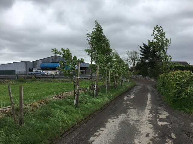
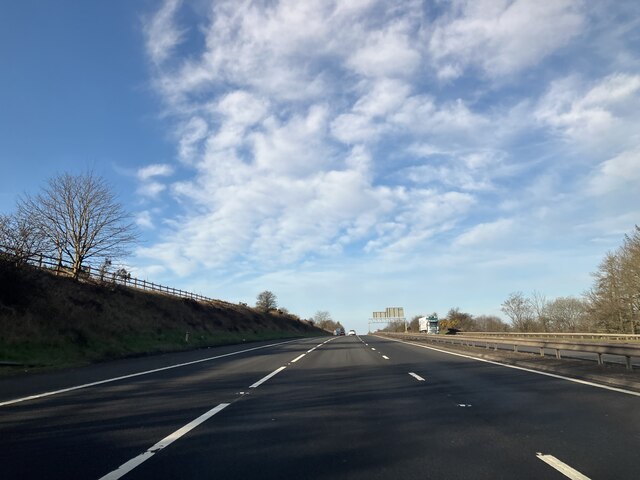
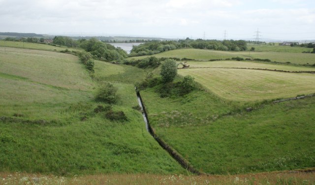
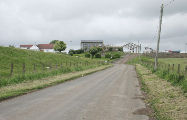
Parkfoot Images

Images are sourced within 2km of 55.99654/-3.9176813 or Grid Reference NS8079. Thanks to Geograph Open Source API. All images are credited.

Minor road at Easter Banknock
Kelt Road between Braeface and Easter Kelt Looking north-eastward.
Kelt Road between Braeface and Easter Kelt
Looking north-eastward.
Track giving access to Wester Banknock Looking south-eastward.
Track giving access to Wester Banknock
Looking south-eastward.
Ordnance Survey Cut Mark This inverted mark can be for on a road bridge near Easter Wards.
The recorded details give a height of 107.951 metres above sea level.
For more detail see : <span class="nowrap"><a title="https://www.bench-marks.org.uk/bm171164" rel="nofollow ugc noopener" href="https://www.bench-marks.org.uk/bm171164">Link</a><img style="margin-left:2px;" alt="External link" title="External link - shift click to open in new window" src="https://s1.geograph.org.uk/img/external.png" width="10" height="10"/></span>
Ordnance Survey Cut Mark
This inverted mark can be for on a road bridge near Easter Wards. The recorded details give a height of 107.951 metres above sea level. For more detail see : LinkExternal link
M80 - southbound
M80 - southbound
Road to Bowridge
Road to Bowridge
Little Denny Burn The burn leads into Little Denny Reservoir in the distance.
Little Denny Burn
The burn leads into Little Denny Reservoir in the distance.
Little Denny Reservoir The Little Denny Burn flows through the hollow in the foreground.
Little Denny Reservoir
The Little Denny Burn flows through the hollow in the foreground.
Drumbowie The embankment on the left is part of the dam wall for Drumbowie Reservoir.
Drumbowie
The embankment on the left is part of the dam wall for Drumbowie Reservoir.
Drumbowie Reservoir Boats beside the boathouse on the northern shore of the reservoir.
Drumbowie Reservoir
Boats beside the boathouse on the northern shore of the reservoir.
Bridge Street, Bonnybridge
Canalbank Workshops and Offices Appears to be sole remains of former foundry
Canalbank Workshops and Offices
Appears to be sole remains of former foundry
Forth & Clyde Canal: Bonnybridge Looking to the lifting bridge
Forth & Clyde Canal: Bonnybridge
Looking to the lifting bridge
Modern milestone The last of the Millennium milestones, distance markers, travelling eastwards on the Forth Clyde canal before reaching the Falkirk Wheel.  It is near the lifting bridge taking the road over the canal.  All the plates on the stones on the main Forth Clyde route have distances in kilometres.    A couple of plaques on the Port Dundas branch into Glasgow have the distances in miles.  All the plaques are set onto large uneven rectangular blocks of stone.
Modern milestone
The last of the Millennium milestones, distance markers, travelling eastwards on the Forth Clyde canal before reaching the Falkirk Wheel. It is near the lifting bridge taking the road over the canal. All the plates on the stones on the main Forth Clyde route have distances in kilometres. A couple of plaques on the Port Dundas branch into Glasgow have the distances in miles. All the plaques are set onto large uneven rectangular blocks of stone.
Signage - M80 southbound
Dam, Drumbowie Reservoir The road run down the grassy side of the dam.
Dam, Drumbowie Reservoir
The road run down the grassy side of the dam.
Cattle grazing at Banknock Fields above the M80.
Cattle grazing at Banknock
Fields above the M80.
Underwood Lock, Forth and Clyde Canal
Show me another place!

Parkfoot is located at Grid Ref: NS8079 (Lat: 55.99654, Lng: -3.9176813)

Unitary Authority: Falkirk

Police Authority: Forth Valley

What 3 Words

///simulator.wrong.lonely. Near Dennyloanhead, Falkirk

Nearby Locations

Dennyloanhead Parkfoot

Related Wikis

A803 road

The A803 is a road in central Scotland. It runs from Glasgow to Champany Corner, three miles (4.8 km) due north-east of Linlithgow). == Route == Beginning...

Dennyloanhead

Dennyloanhead (Scottish Gaelic: Ceann Lòn an Daingneach) is a village in the Falkirk council area, Central Scotland, that is between Head of Muir and Longcroft...

Dennyloanhead railway station

Dennyloanhead railway station served the village of Longcroft, Falkirk, Scotland from 1888 to 1935 on the Kilsyth and Bonnybridge Railway. == History... ==

Longcroft, Falkirk

Longcroft is a small village in the Falkirk council area in Scotland. The village is located 5.7 miles (9.2 km) west-southwest of Falkirk along a stretch...

Nearby Amenities

Located within 500m of 55.99654,-3.9176813
Motorway Junction
Bankhead Interchange
Ref: 8
Source: survey
Lat/Long: 55.9998243/-3.9229271
Noexit: yes
Lat/Long: 55.9952186/-3.9181231
Noexit: yes
Lat/Long: 55.995204/-3.917849
Generator Method: photovoltaic
Generator Output Electricity: yes
Generator Source: solar
Generator Type: solar_photovoltaic_panel
Power: generator
Lat/Long: 55.9998127/-3.9137097
The data included in this document is from www.openstreetmap.org. The data is made available under ODbL.

Have you been to Parkfoot?

Leave your review of Parkfoot below (or comments, questions and feedback).