Barleyhill Wood
Wood, Forest in Derbyshire Amber Valley
England
Barleyhill Wood
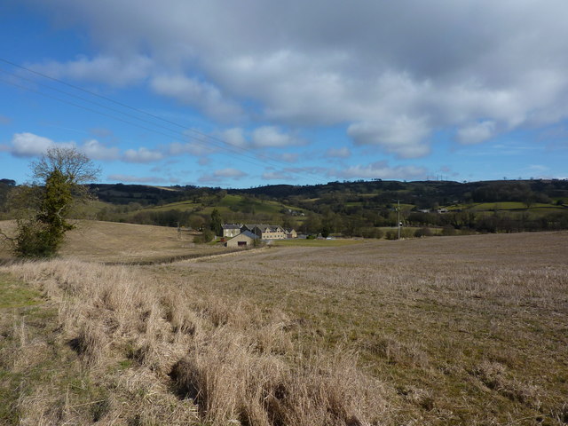
Barleyhill Wood, located in Derbyshire, England, is a picturesque forest that spans over a vast area of land. It is a popular destination for nature enthusiasts and hikers due to its rich biodiversity and tranquil atmosphere. The wood is home to a diverse range of plant and animal species, making it an important ecological site.
The woodland is characterized by its dense canopy of mature trees, primarily consisting of oak, beech, and ash. These towering trees create a shaded and cool environment, perfect for leisurely walks and exploration. The forest floor is covered with a thick carpet of moss, ferns, and wildflowers, adding to the wood's natural beauty.
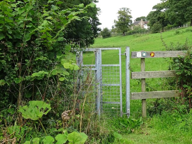
Several walking trails wind their way through the wood, offering visitors the opportunity to immerse themselves in the serene surroundings. These paths meander through groves of trees, alongside babbling brooks, and occasionally open up to breathtaking views of the surrounding countryside.
Barleyhill Wood is also known for its wildlife. Birdwatchers can spot a variety of species, including woodpeckers, owls, and songbirds. Squirrels and rabbits are frequently seen darting through the underbrush, while deer occasionally make appearances in the early morning or evening.
In addition to its natural splendor, Barleyhill Wood also has historical significance. It is believed that the wood has been in existence for centuries, with remnants of ancient settlements and burial mounds discovered in its vicinity.
Overall, Barleyhill Wood is a haven for those seeking tranquility and a connection with nature. Its lush vegetation, diverse wildlife, and historical charm make it a must-visit destination for both locals and tourists in Derbyshire.
If you have any feedback on the listing, please let us know in the comments section below.
Barleyhill Wood Images
Images are sourced within 2km of 53.047841/-1.581286 or Grid Reference SK2850. Thanks to Geograph Open Source API. All images are credited.


Barleyhill Wood is located at Grid Ref: SK2850 (Lat: 53.047841, Lng: -1.581286)
Administrative County: Derbyshire
District: Amber Valley
Police Authority: Derbyshire
What 3 Words
///frozen.misty.smarting. Near Wirksworth, Derbyshire
Nearby Locations
Related Wikis

Holy Trinity Church, Kirk Ireton
Holy Trinity Church, Kirk Ireton, is a Grade I listed parish church in the Church of England in Kirk Ireton, Derbyshire. == History == The church dates...

Idridgehay
Idridgehay is a village in the civil parish of Idridgehay and Alton, in the Amber Valley district of Derbyshire, England. The population of this parish...
Alderwasley Hall Sixth Form Centre
Alderwasley Hall Sixth Form is an independent special needs Sixth Form Centre located one mile south of Wirksworth in Derbyshire it is part of Alderwasley...
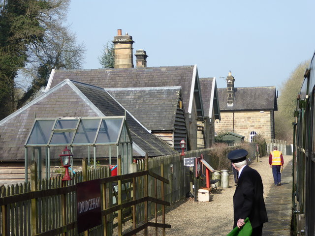
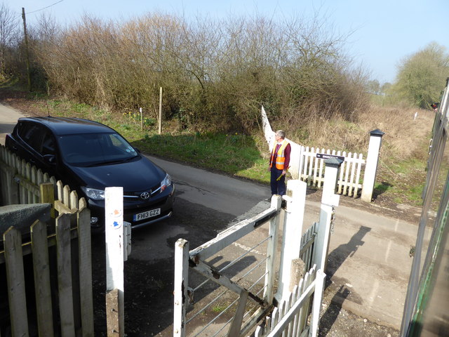
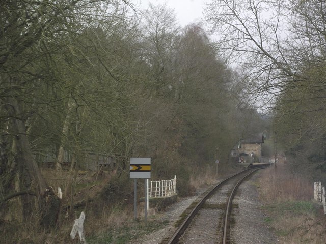
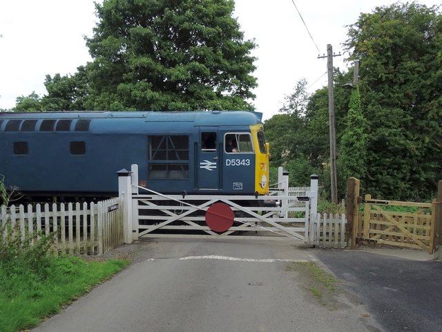
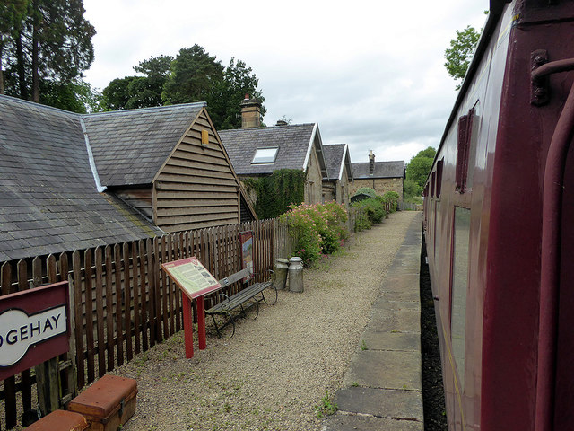
Idridgehay railway station
Idridgehay railway station is an intermediate station on the former Midland Railway branch line to the town of Wirksworth in Derbyshire. Off the Midland...

Kirk Ireton
Kirk Ireton is a village and civil parish in Derbyshire, England, 4 miles (6.4 km) southwest of Wirksworth on a hillside near Carsington Water, 700 feet...

Ashleyhay
Ashleyhay (Old English Enclosure at the ash-tree wood or clearing ) is a village and civil parish in the Amber Valley district of Derbyshire, England,...
Idridgehay and Alton
Idridgehay and Alton is a civil parish in the Amber Valley district of Derbyshire, England. The population of the civil parish taken at the 2011 Census...

Duffield Frith
Duffield Frith was, in medieval times, an area of Derbyshire in England, part of that bestowed upon Henry de Ferrers (or Ferrars) by King William, controlled...
Nearby Amenities
Located within 500m of 53.047841,-1.581286Have you been to Barleyhill Wood?
Leave your review of Barleyhill Wood below (or comments, questions and feedback).