Barley Hill

Hill, Mountain in Derbyshire Amber Valley

England

Barley Hill

Idridgehay Station - Ecclesbourne Valley Railway The platform is used by heritage trains but the station is a private dwelling.
Idridgehay Station - Ecclesbourne Valley Railway Credit: Chris Allen

Barley Hill is a prominent hill located in the picturesque region of Derbyshire, England. Situated in the heart of the Peak District National Park, it is a popular destination for hikers, nature enthusiasts, and adventure seekers. Standing at an impressive elevation of 430 meters (1,410 feet), Barley Hill provides breathtaking panoramic views of the surrounding countryside.

The hill itself is characterized by its gentle slopes, lush green meadows, and rocky outcrops. It is predominantly composed of limestone, which gives the landscape a unique charm. The area is rich in diverse flora and fauna, with an abundance of wildflowers, heather, and grasses covering the hillside during the summer months.

Barley Hill offers a range of walking trails and paths, catering to both casual strollers and experienced hikers. The most popular route starts from the nearby village of Grindleford, taking walkers through enchanting woodlands before ascending the hill. Along the way, visitors may encounter various species of birds, such as peregrine falcons and red kites, as well as occasional sightings of deer and rabbits.

The hill's summit rewards climbers with breathtaking vistas across the surrounding countryside, including the nearby Derwent Valley and the distant moorlands. On clear days, it is even possible to spot the imposing peaks of Kinder Scout and Mam Tor in the distance.

In summary, Barley Hill is a captivating natural landmark in Derbyshire, offering visitors the chance to immerse themselves in the beauty of the Peak District and experience its stunning vistas firsthand.

If you have any feedback on the listing, please let us know in the comments section below.
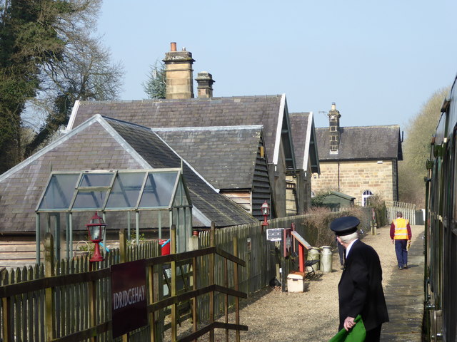
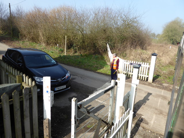
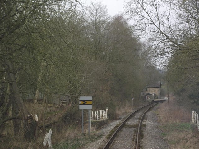
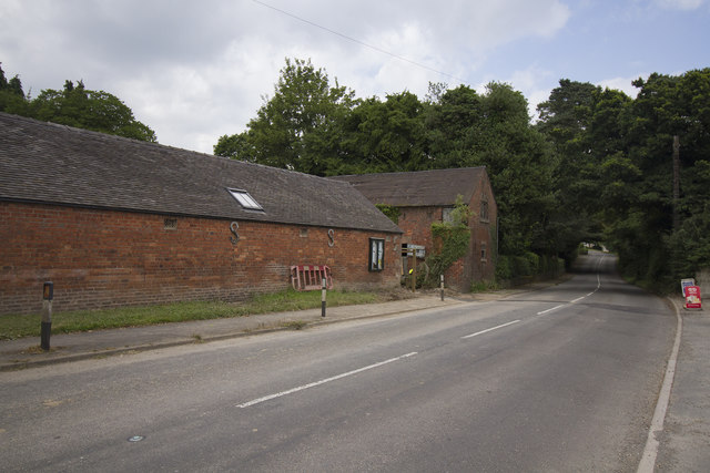
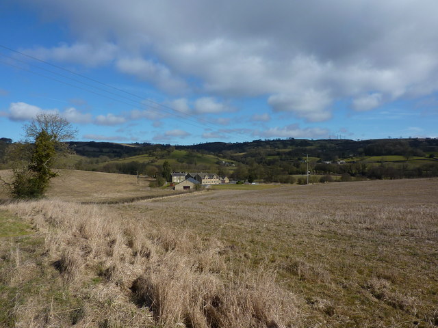
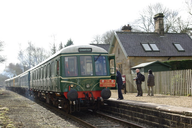
Barley Hill Images

Images are sourced within 2km of 53.049088/-1.5831237 or Grid Reference SK2850. Thanks to Geograph Open Source API. All images are credited.

Idridgehay Station - Ecclesbourne Valley Railway The platform is used by heritage trains but the station is a private dwelling.
Idridgehay Station - Ecclesbourne Valley Railway
The platform is used by heritage trains but the station is a private dwelling.
Level crossing at Idridgehay There are two level crossings on the Ecclesbourne Valley Railway and both are operated by the train crew. Photographed from a train consisting of a diesel multiple unit being hauled by a class 25 diesel electric locomotive.
Level crossing at Idridgehay
There are two level crossings on the Ecclesbourne Valley Railway and both are operated by the train crew. Photographed from a train consisting of a diesel multiple unit being hauled by a class 25 diesel electric locomotive.
Ecclesbourne Valley Railway south of Idridgehay
Jebb's Lane crosses the Ecclesbourne Valley Railway
Old barns Idridgehay The village or hamlet of Idridgehay has some very old farm buildings close to the road the B5023. It also has some very old houses but these are set back rather more from the road and difficult to see and photograph.
Old barns Idridgehay
The village or hamlet of Idridgehay has some very old farm buildings close to the road the B5023. It also has some very old houses but these are set back rather more from the road and difficult to see and photograph.
A village road junction To the left and behind the white van is the turning - Ecclesbourne Lane. This is a very minor road off the Wirksworth Road the B5023.
A village road junction
To the left and behind the white van is the turning - Ecclesbourne Lane. This is a very minor road off the Wirksworth Road the B5023.
The Ecclesbourne Way below Manifold Farm Heading towards Hilltop.
The Ecclesbourne Way below Manifold Farm
Heading towards Hilltop.
Diesel locomotive 31206 at a foot crossing on the Ecclesbourne Valley Railway 31206 pulling a train during the Diesel Locomotive Weekend in 2017.
Diesel locomotive 31206 at a foot crossing on the Ecclesbourne Valley Railway
31206 pulling a train during the Diesel Locomotive Weekend in 2017.
Jebb's Lane crossing the Ecclesbourne
Kissing gate on the Ecclesbourne Way None of the paths on the Ecclesbourne Way is new, but improvements have been made to some of the existing paths that have been strung together to make it. As well as the kissing gate, a purple and yellow "Ecclesbourne Way" arrow has been added, here.
Kissing gate on the Ecclesbourne Way
None of the paths on the Ecclesbourne Way is new, but improvements have been made to some of the existing paths that have been strung together to make it. As well as the kissing gate, a purple and yellow "Ecclesbourne Way" arrow has been added, here.
D5343 at Idridgehay level crossing In the summer of 2017, class 26 D5343 visited the Ecclesbourne Valley Railway from the Gloucestershire and Warwickshire Railway.
D5343 at Idridgehay level crossing
In the summer of 2017, class 26 D5343 visited the Ecclesbourne Valley Railway from the Gloucestershire and Warwickshire Railway.
Gradient post at Idridgehay
Old Milepost by the B5023 in Idridgehay Cast iron post by the B5023, in parish of IDRIDGEHAY AND ALTON (AMBER VALLEY District), near Idridgehay Church, on grass verge in front of stone wall, on West side of road. Harrison iron casting, erected by the Ideridgehay & Duffield turnpike trust in the 19th century. 

Inscription reads:-
: WIRKSW.H / 3 / MILES : : Idridge-hay / LONDON / 136 / MILES : : DERBY / 10 / MILES : : J. Harrison / DERBY :

Milestone Society National ID: DE_DEWW10.
Old Milepost by the B5023 in Idridgehay
Cast iron post by the B5023, in parish of IDRIDGEHAY AND ALTON (AMBER VALLEY District), near Idridgehay Church, on grass verge in front of stone wall, on West side of road. Harrison iron casting, erected by the Ideridgehay & Duffield turnpike trust in the 19th century. Inscription reads:- : WIRKSW.H / 3 / MILES : : Idridge-hay / LONDON / 136 / MILES : : DERBY / 10 / MILES : : J. Harrison / DERBY : Milestone Society National ID: DE_DEWW10.
Halted at the Idridgehay level crossing A member of the railway staff walks to open the level crossing gate. A crossing keepers' hut is provided but appears to be occupied only at busy times. At other times the gate operator rides on the train.
Halted at the Idridgehay level crossing
A member of the railway staff walks to open the level crossing gate. A crossing keepers' hut is provided but appears to be occupied only at busy times. At other times the gate operator rides on the train.
Idridgehay Station A wayside stop on the Ecclesbourne Valley Railway. The old station buildings are now in private hands.
Idridgehay Station
A wayside stop on the Ecclesbourne Valley Railway. The old station buildings are now in private hands.
Unsuitable for HGV's The narrow road has a ford at the bottom and bears a sign saying unsuitable for HGV's which is no surprise.
Unsuitable for HGV's
The narrow road has a ford at the bottom and bears a sign saying unsuitable for HGV's which is no surprise.
Looking up Top Lons Top Lons is the road along which the camera is pointing from the junction of the lane with Bottom Lons and Broadway.
Looking up Top Lons
Top Lons is the road along which the camera is pointing from the junction of the lane with Bottom Lons and Broadway.
Cliffash Lane Houses on Cliffash Lane are part of Idridgehay Green.
Cliffash Lane
Houses on Cliffash Lane are part of Idridgehay Green.
Show me another place!

Barley Hill is located at Grid Ref: SK2850 (Lat: 53.049088, Lng: -1.5831237)

Administrative County: Derbyshire

District: Amber Valley

Police Authority: Derbyshire

What 3 Words

///resurgent.menswear.podcast. Near Wirksworth, Derbyshire

Related Wikis

Nearby Amenities

Located within 500m of 53.049088,-1.5831237
Fixme: gate or stile?
Lat/Long: 53.0489323/-1.5881191
Barrier: stile
Lat/Long: 53.0489985/-1.5858269
Fixme: gate or stile?
Lat/Long: 53.0490909/-1.589107
Barrier: stile
Source: gps;survey
Lat/Long: 53.0495338/-1.5816562
Barrier: stile
Lat/Long: 53.0502781/-1.5808236
Barrier: stile
Material: wood
Source: survey;bing
Stile: stepover
Lat/Long: 53.0504067/-1.5771619
Barrier: stile
Material: stone
Source: survey;gps
Stile: squeezer
Lat/Long: 53.0516463/-1.583021
Fixme: gate or stile?
Lat/Long: 53.0494353/-1.5829959
The data included in this document is from www.openstreetmap.org. The data is made available under ODbL.

Have you been to Barley Hill?

Leave your review of Barley Hill below (or comments, questions and feedback).