Phillip's Copse
Wood, Forest in Wiltshire New Forest
England
Phillip's Copse
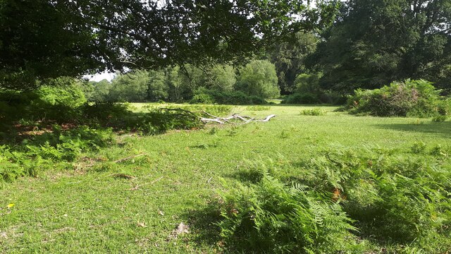
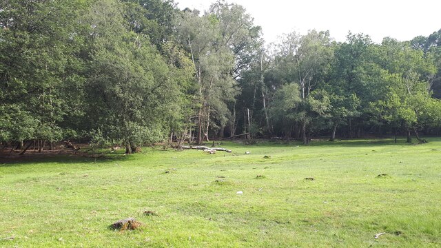
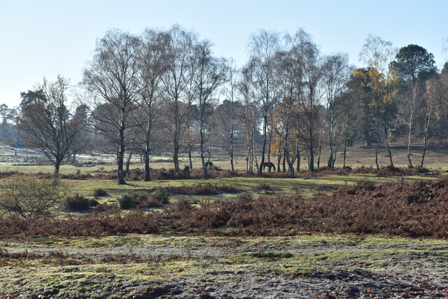
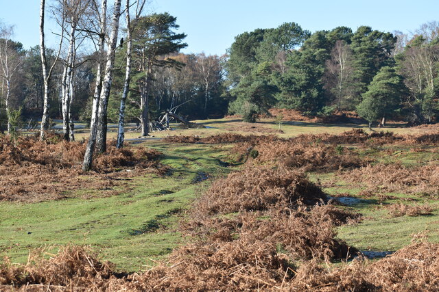
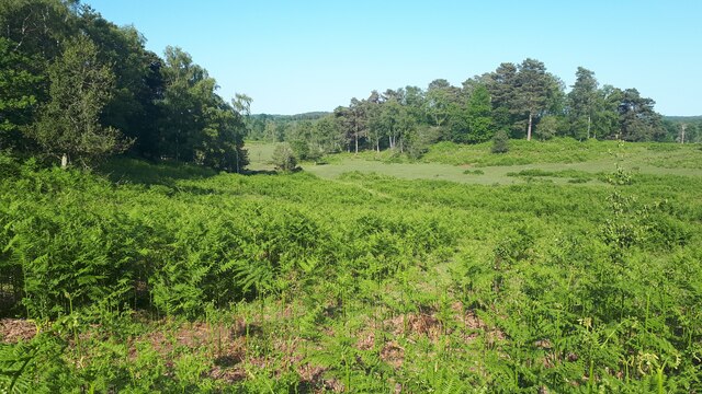
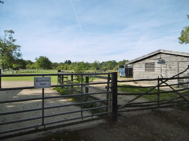
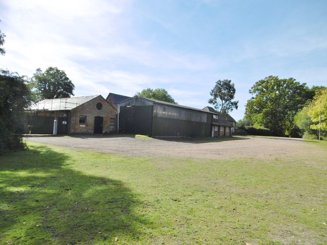
Phillip's Copse is a charming woodland located in the county of Wiltshire, England. Covering an area of approximately 30 acres, this tranquil copse is a haven for nature enthusiasts and those seeking a peaceful escape from the bustling city life.
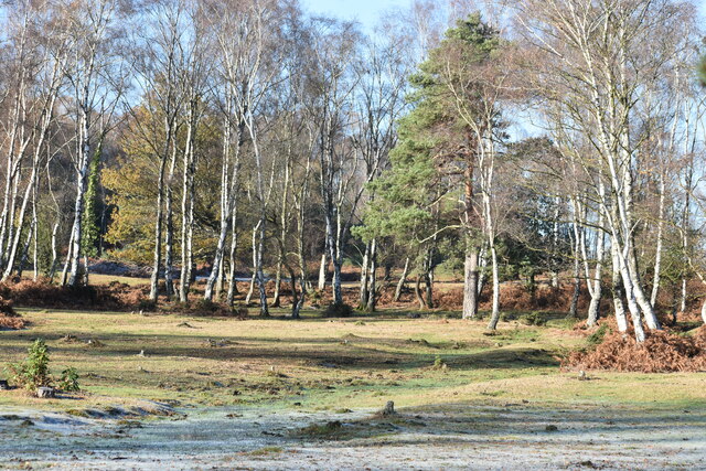
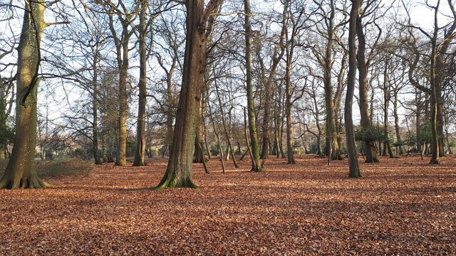
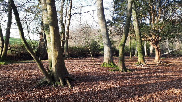
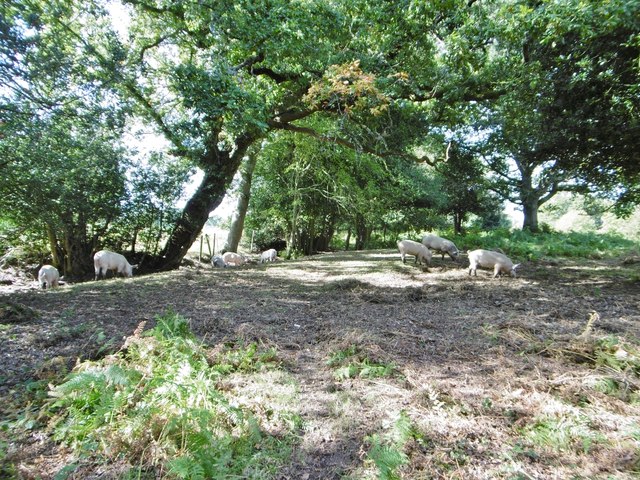
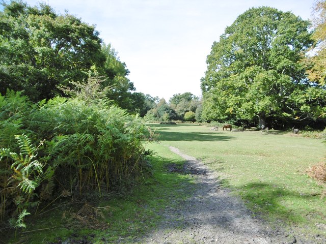
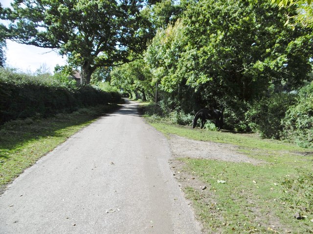
The copse is predominantly made up of a diverse range of deciduous trees, such as oak, beech, and ash, which provide a stunning display of vibrant colors throughout the seasons. The dense canopy of foliage allows only dappled sunlight to filter through, creating a magical ambiance within the woods.
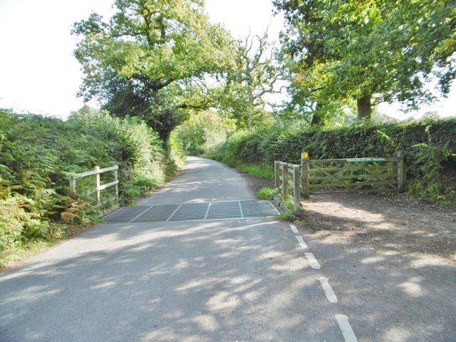
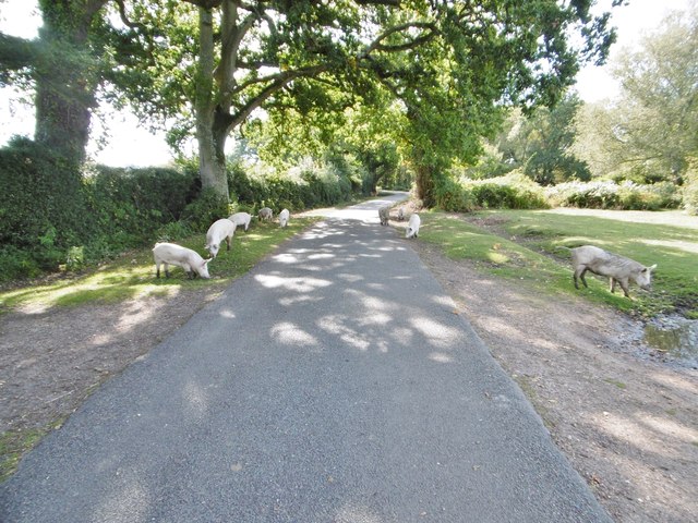
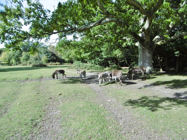
A network of well-maintained footpaths meanders through the copse, allowing visitors to explore its natural beauty at their own pace. The paths wind their way around ancient trees and over babbling brooks, offering picturesque views at every turn. Along the way, visitors may encounter an array of wildlife, including squirrels, rabbits, and various bird species, making it a perfect spot for birdwatching and wildlife photography.
Phillip's Copse is not only a place of natural beauty but also holds historical significance. It is believed that the copse was once part of a larger hunting ground owned by the medieval lords of the nearby manor. The remnants of an old deer park wall can still be seen, adding to the copse's charm and historical allure.
Overall, Phillip's Copse in Wiltshire is a delightful woodland retreat, where visitors can immerse themselves in nature, enjoy peaceful walks, and connect with the rich history of the area.
If you have any feedback on the listing, please let us know in the comments section below.
Phillip's Copse Images
Images are sourced within 2km of 50.938986/-1.6019899 or Grid Reference SU2815. Thanks to Geograph Open Source API. All images are credited.
Phillip's Copse is located at Grid Ref: SU2815 (Lat: 50.938986, Lng: -1.6019899)
Administrative County: Hampshire
District: New Forest
Police Authority: Hampshire
What 3 Words
///introduce.prom.drags. Near Cadnam, Hampshire
Nearby Locations
Related Wikis

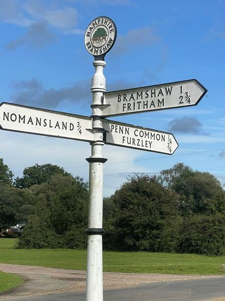
Bramshaw
Bramshaw is a small village and civil parish in Hampshire, England. It lies just inside the New Forest. The name Bramshaw means Bramble Wood. Until 1895...

Brook, New Forest
Brook is a hamlet in the civil parish of Bramshaw, in Hampshire, England. It lies just inside the New Forest. The hamlet contains a mix of 18th and 19th...

Landford Heath
Landford Heath (grid reference SU265178) is an 11.75 hectare biological Site of Special Scientific Interest near Landford in southeast Wiltshire, England...

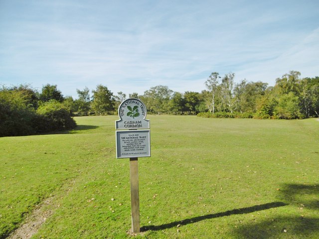
Copythorne Common
Copythorne Common is a 17-hectare (42-acre) nature reserve west of Southampton in Hampshire. It is managed by the Hampshire and Isle of Wight Wildlife...

Copythorne
Copythorne is a village and civil parish in Hampshire, England, within the boundaries of the New Forest National Park. == Overview == Copythorne is in...

Bartley Lodge
Bartley Lodge is a country house near Cadnam in Hampshire, England, within the boundaries of the New Forest National Park. It was built in the 18th century...

Nomansland, Wiltshire
Nomansland is a small village in Wiltshire, England, close to the county border with Hampshire. It is part of the parish of Landford and lies about 3.5...

Bartley, Hampshire
Bartley is a village in Hampshire, England, within the boundaries of the New Forest National Park, seven miles (11 km) west of Southampton. == Overview... ==
Nearby Amenities
Located within 500m of 50.938986,-1.6019899Have you been to Phillip's Copse?
Leave your review of Phillip's Copse below (or comments, questions and feedback).