Mark's Copse
Wood, Forest in Wiltshire New Forest
England
Mark's Copse
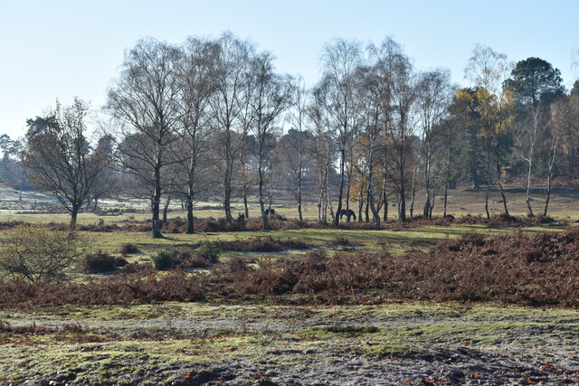
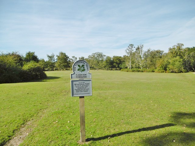
Mark's Copse is a picturesque wood located in the county of Wiltshire, England. Spanning approximately 20 acres, it is nestled amidst the rolling countryside, offering a tranquil escape from the bustling nearby towns and cities. The copse is situated near the village of Marksbury, from which it derives its name.
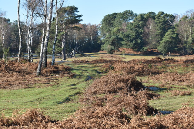
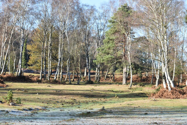
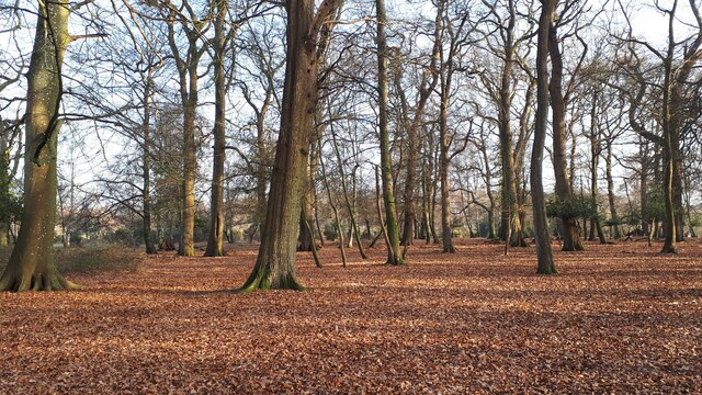
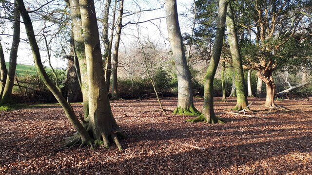
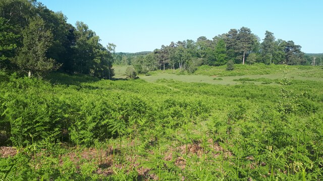
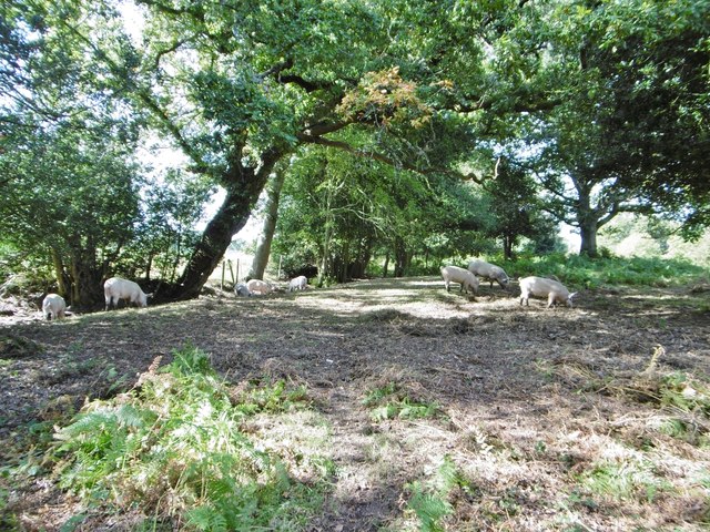
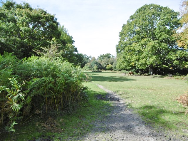
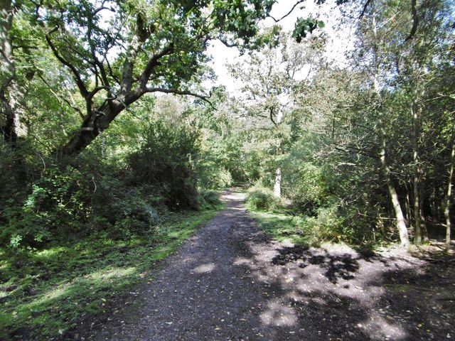
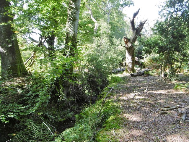
The woodland is predominantly composed of deciduous trees, with a rich variety of species including oak, beech, ash, and hazel. These trees form a dense canopy, providing ample shade and creating a cool and peaceful atmosphere within the copse. The forest floor is covered in a thick layer of leaf litter, offering a soft carpet for visitors to walk upon.
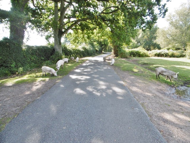
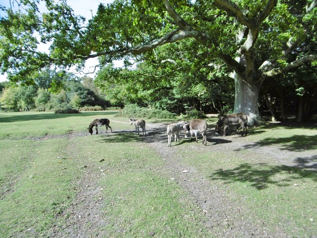
Mark's Copse is home to a diverse range of flora and fauna, with many species finding refuge within its boundaries. Bird enthusiasts will be delighted to spot various avian species such as woodpeckers, thrushes, and tits, while nature lovers can marvel at the vibrant wildflowers that bloom during the spring and summer months.
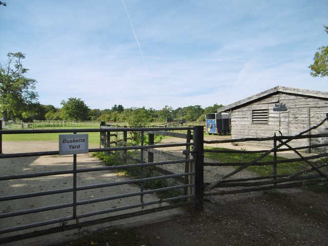
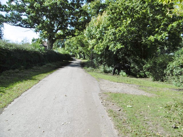
The copse features several well-maintained footpaths, allowing visitors to explore its natural beauty at their own pace. These paths wind their way through the wood, leading to secluded clearings and charming glades. Additionally, benches and picnic areas are scattered throughout the copse, providing opportunities for relaxation and enjoyment of the surroundings.
Mark's Copse is a popular destination for both locals and tourists seeking a peaceful retreat in nature. Its tranquil ambiance, diverse wildlife, and well-preserved woodlands make it a delightful place for leisurely walks, birdwatching, and reconnecting with the natural world.
If you have any feedback on the listing, please let us know in the comments section below.
Mark's Copse Images
Images are sourced within 2km of 50.940945/-1.5991551 or Grid Reference SU2815. Thanks to Geograph Open Source API. All images are credited.
Mark's Copse is located at Grid Ref: SU2815 (Lat: 50.940945, Lng: -1.5991551)
Administrative County: Hampshire
District: New Forest
Police Authority: Hampshire
What 3 Words
///challenge.fired.vines. Near Cadnam, Hampshire
Nearby Locations
Related Wikis

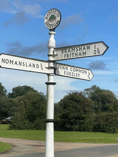
Bramshaw
Bramshaw is a small village and civil parish in Hampshire, England. It lies just inside the New Forest. The name Bramshaw means Bramble Wood. Until 1895...

Brook, New Forest
Brook is a hamlet in the civil parish of Bramshaw, in Hampshire, England. It lies just inside the New Forest. The hamlet contains a mix of 18th and 19th...

Copythorne Common
Copythorne Common is a 17-hectare (42-acre) nature reserve west of Southampton in Hampshire. It is managed by the Hampshire and Isle of Wight Wildlife...

Landford Heath
Landford Heath (grid reference SU265178) is an 11.75 hectare biological Site of Special Scientific Interest near Landford in southeast Wiltshire, England...

Copythorne
Copythorne is a village and civil parish in Hampshire, England, within the boundaries of the New Forest National Park. == Overview == Copythorne is in...

Bartley Lodge
Bartley Lodge is a country house near Cadnam in Hampshire, England, within the boundaries of the New Forest National Park. It was built in the 18th century...

Nomansland, Wiltshire
Nomansland is a small village in Wiltshire, England, close to the county border with Hampshire. It is part of the parish of Landford and lies about 3.5...

Bartley, Hampshire
Bartley is a village in Hampshire, England, within the boundaries of the New Forest National Park, seven miles (11 km) west of Southampton. == Overview... ==
Related Videos

CAMPING, CARAVANNING AND MOTORHOME SITE
PADDOCK VIEW C&CC 2023 A fantastic 5 van site (CL) based in Copythorne nr Cadnam Hampshire UK The site is based in the ...
HALLOWEEN SPECIAL(I NEVER FAIL TO DROP IN THE NEW FOREST)🤑😝
entertainment #halloween #jackrussellterrier #walking.

Short walk | New Forest | Crows | Ducks | No Humans | Stay Healthy
Short walk in countryside around where I live. Starts and ends at my front door. The great thing about working from home now is 5 ...

FOLDING UP AN AIR AWNING - Easy fit into bag everytime
Folding and packing up any awning can be frustrating and this is especially the case with air awnings with air beams to consider.
Nearby Amenities
Located within 500m of 50.940945,-1.5991551Have you been to Mark's Copse?
Leave your review of Mark's Copse below (or comments, questions and feedback).