Rebecca's Copse
Wood, Forest in Wiltshire New Forest
England
Rebecca's Copse
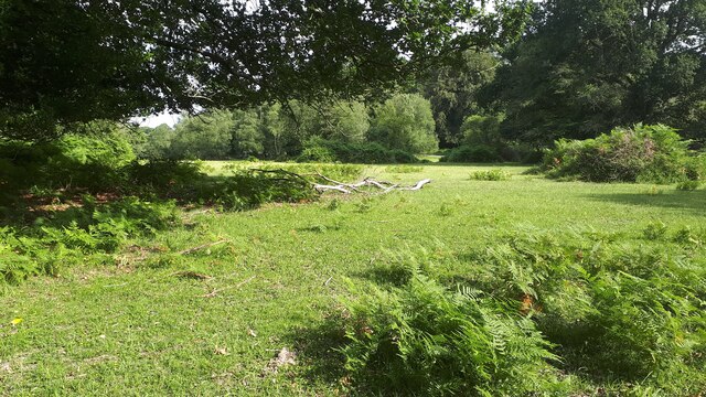
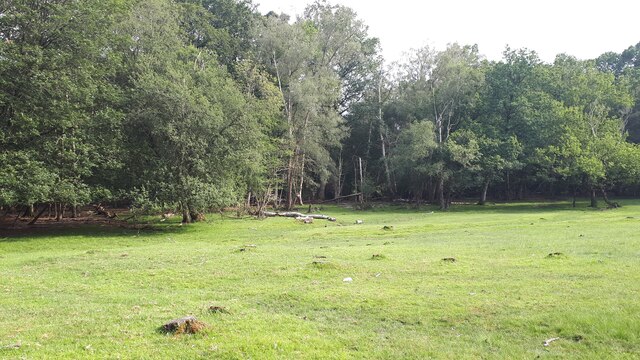
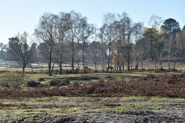
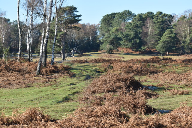
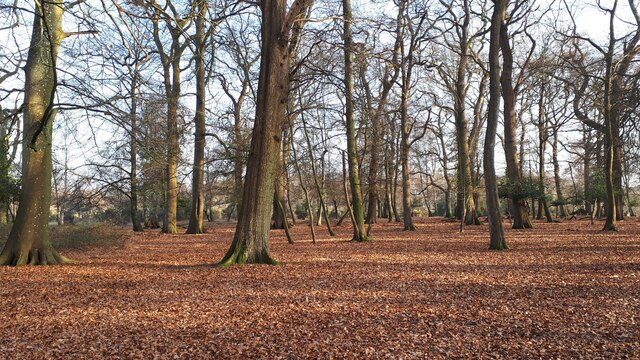
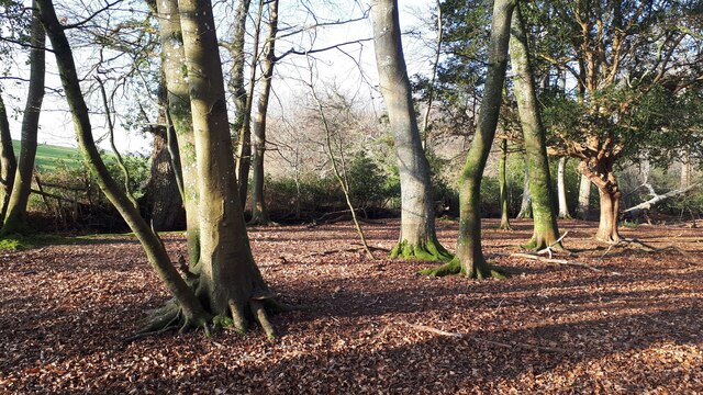
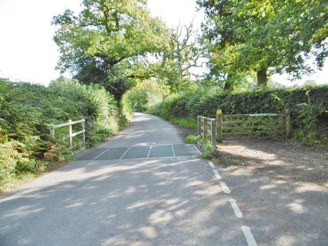
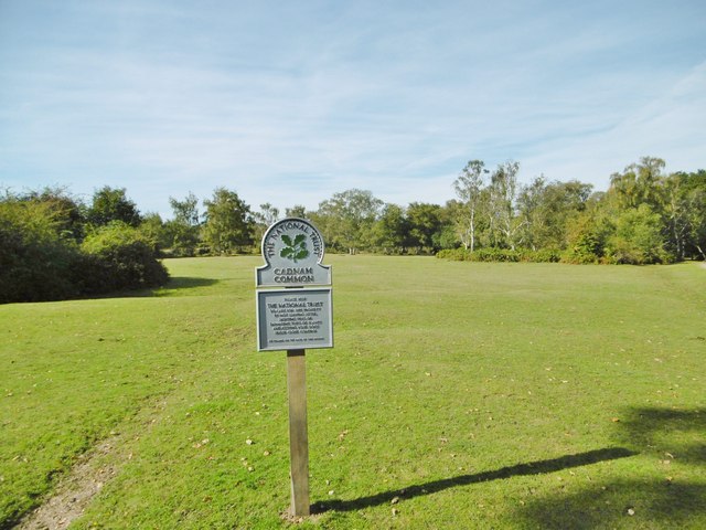
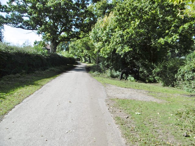
Rebecca's Copse is a picturesque woodland located in the county of Wiltshire, England. Situated near the village of Malmesbury, this charming copse covers an area of approximately 10 acres and is a popular destination for nature lovers and outdoor enthusiasts.
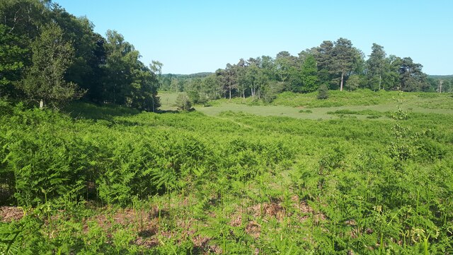
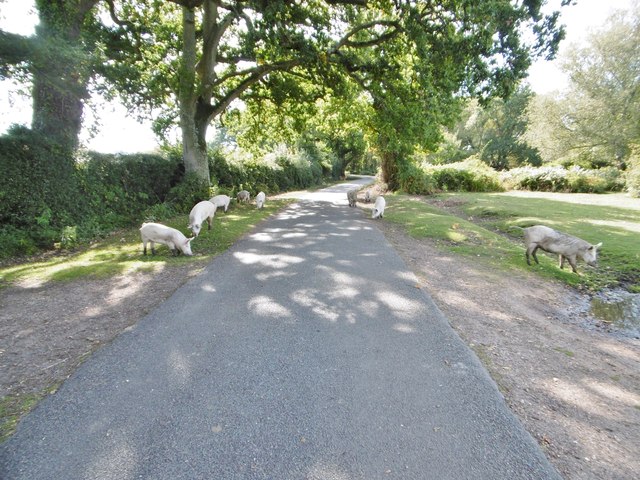
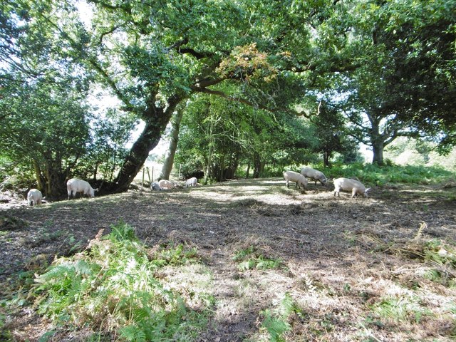
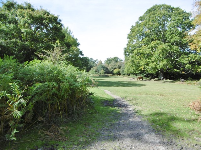
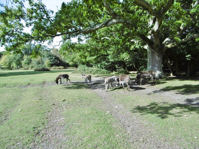
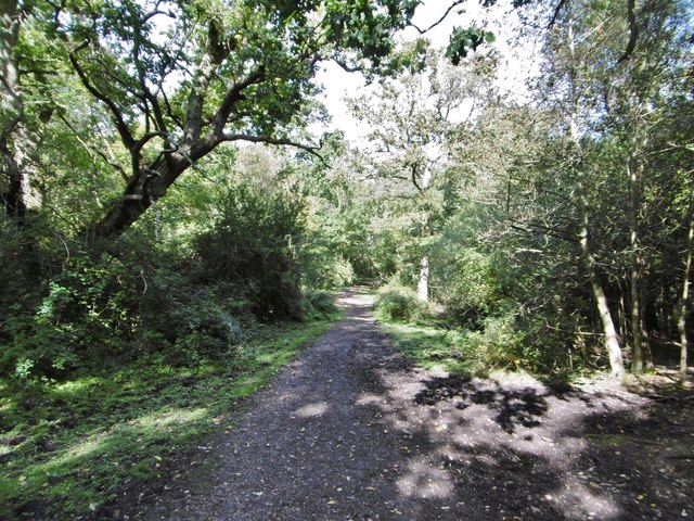
This woodland is characterized by its dense canopy of trees, predominantly consisting of oak, beech, and ash. The diverse range of flora and fauna found within Rebecca's Copse makes it a haven for wildlife, with species such as deer, rabbits, and a variety of bird species calling this woodland home.
Walking through Rebecca's Copse, visitors are greeted with a serene and tranquil atmosphere. The well-maintained footpaths meander through the woods, allowing easy access for walkers and hikers of all ages. The dense foliage provides shade during the summer months, making it a pleasant spot for a picnic or a peaceful retreat from the bustling city life.
The copse is also known for its historical significance, with evidence of human activity dating back to prehistoric times. It is believed that the area was inhabited by early settlers, and remnants of ancient settlements and burial mounds have been discovered within the copse.
Overall, Rebecca's Copse offers a perfect blend of natural beauty, historical significance, and recreational opportunities. It is a cherished woodland that attracts visitors from near and far, providing a peaceful and enchanting escape into nature.
If you have any feedback on the listing, please let us know in the comments section below.
Rebecca's Copse Images
Images are sourced within 2km of 50.937495/-1.6025007 or Grid Reference SU2815. Thanks to Geograph Open Source API. All images are credited.
Rebecca's Copse is located at Grid Ref: SU2815 (Lat: 50.937495, Lng: -1.6025007)
Administrative County: Hampshire
District: New Forest
Police Authority: Hampshire
What 3 Words
///locked.reforming.hazy. Near Cadnam, Hampshire
Nearby Locations
Related Wikis

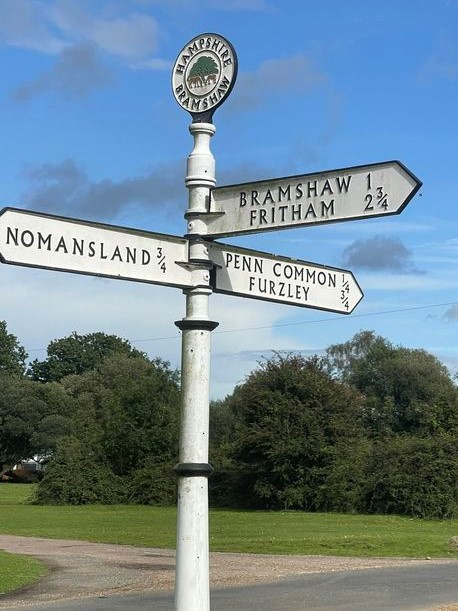
Bramshaw
Bramshaw is a small village and civil parish in Hampshire, England. It lies just inside the New Forest. The name Bramshaw means Bramble Wood. Until 1895...

Brook, New Forest
Brook is a hamlet in the civil parish of Bramshaw, in Hampshire, England. It lies just inside the New Forest. The hamlet contains a mix of 18th and 19th...

Copythorne
Copythorne is a village and civil parish in Hampshire, England, within the boundaries of the New Forest National Park. == Overview == Copythorne is in...

Landford Heath
Landford Heath (grid reference SU265178) is an 11.75 hectare biological Site of Special Scientific Interest near Landford in southeast Wiltshire, England...

Copythorne Common
Copythorne Common is a 17-hectare (42-acre) nature reserve west of Southampton in Hampshire. It is managed by the Hampshire and Isle of Wight Wildlife...

Bartley Lodge
Bartley Lodge is a country house near Cadnam in Hampshire, England, within the boundaries of the New Forest National Park. It was built in the 18th century...

Bartley, Hampshire
Bartley is a village in Hampshire, England, within the boundaries of the New Forest National Park, seven miles (11 km) west of Southampton. == Overview... ==

Nomansland, Wiltshire
Nomansland is a small village in Wiltshire, England, close to the county border with Hampshire. It is part of the parish of Landford and lies about 3.5...
Nearby Amenities
Located within 500m of 50.937495,-1.6025007Have you been to Rebecca's Copse?
Leave your review of Rebecca's Copse below (or comments, questions and feedback).