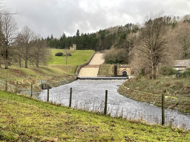
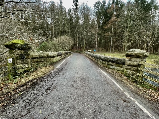
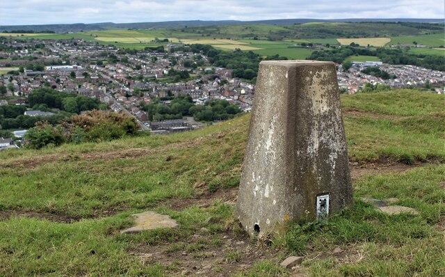
Fox Glen
Wood, Forest in Yorkshire
England
Fox Glen
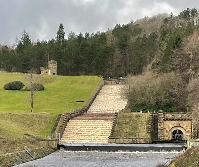
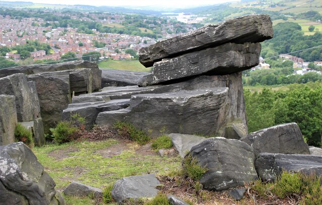
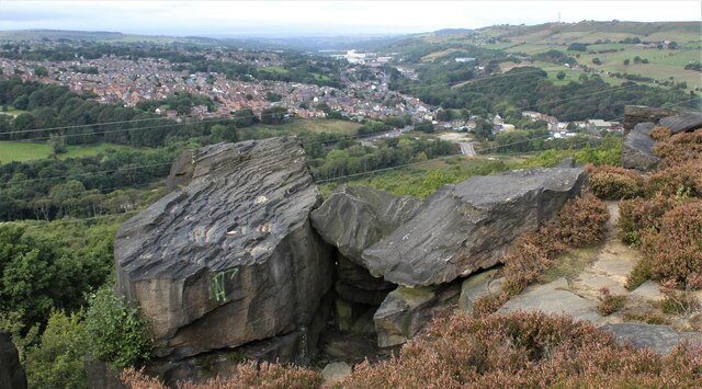
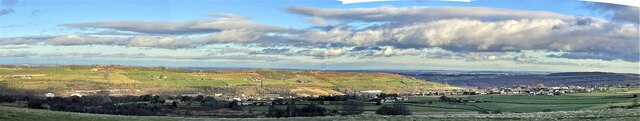
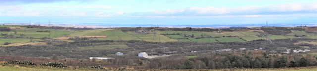
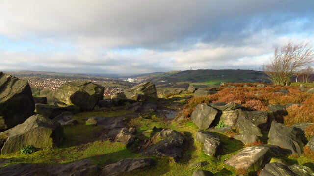
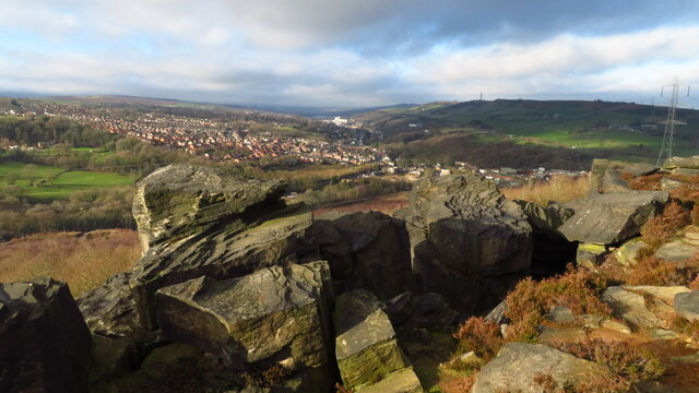
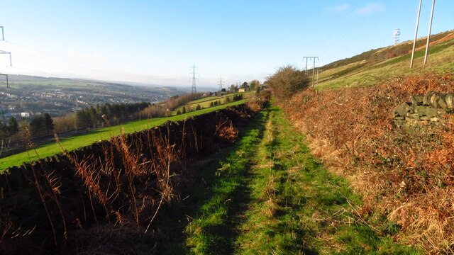
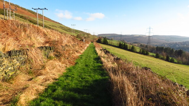
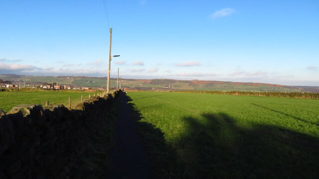
Fox Glen, Yorkshire is a picturesque woodland area located in the heart of Yorkshire, England. Spanning over 100 acres, this enchanting forest is known for its natural beauty, diverse wildlife, and tranquil atmosphere. It is a popular destination for nature enthusiasts, hikers, and photographers.
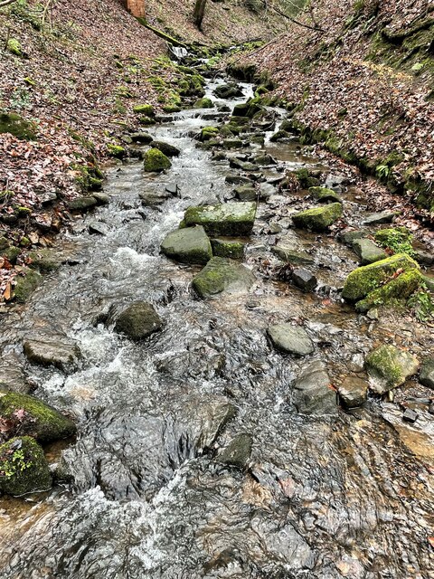
The woodland is primarily composed of mature oak, beech, and birch trees, forming a dense canopy that allows only dappled sunlight to filter through. This creates a magical ambience as visitors explore the winding trails that crisscross the glen. Along these paths, one can find an abundance of wildflowers, such as bluebells, primroses, and foxgloves, which add bursts of color to the verdant surroundings.
Fox Glen is home to a variety of wildlife, including deer, rabbits, squirrels, and an array of bird species. Lucky visitors may even catch a glimpse of the elusive red fox, which inspired the glen's name. The peacefulness of the area provides an ideal habitat for these creatures, making it a haven for nature lovers seeking a glimpse into the wonders of the animal kingdom.
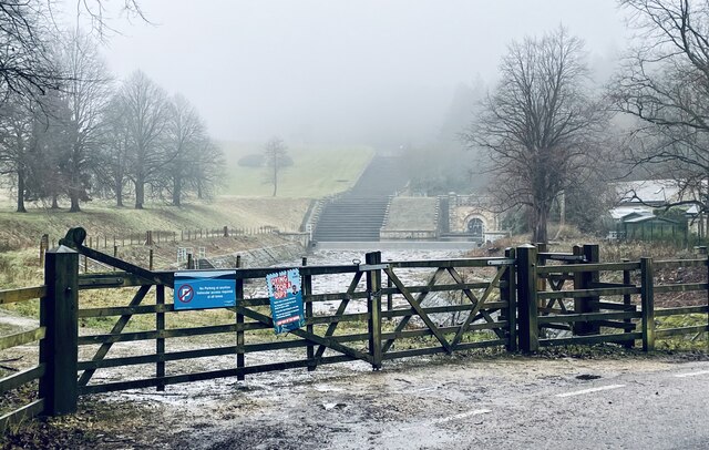
The glen has several designated picnic areas, allowing visitors to enjoy a leisurely meal surrounded by nature's beauty. Additionally, there are designated camping spots for those who wish to spend a night under the starry sky. The sound of rustling leaves and the gentle babbling of the nearby stream create a soothing soundtrack for a restful night's sleep.
Overall, Fox Glen, Yorkshire is a hidden gem in the region, offering a serene escape from the hustle and bustle of everyday life. Its breathtaking scenery, diverse wildlife, and tranquility make it a must-visit destination for anyone seeking solace in nature.
If you have any feedback on the listing, please let us know in the comments section below.
Fox Glen Images
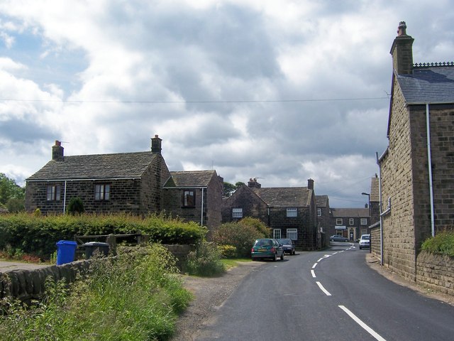
Images are sourced within 2km of 53.475151/-1.5808908 or Grid Reference SK2797. Thanks to Geograph Open Source API. All images are credited.
Fox Glen is located at Grid Ref: SK2797 (Lat: 53.475151, Lng: -1.5808908)
Division: West Riding
Unitary Authority: Sheffield
Police Authority: South Yorkshire
What 3 Words
///disgraced.loaders.party. Near Stocksbridge, South Yorkshire
Nearby Locations
Related Wikis

Stocksbridge Park Steels F.C.
Stocksbridge Park Steels Football Club is an English association football club based in Stocksbridge, South Yorkshire. They currently compete in the Northern...

Stocksbridge
Stocksbridge is a town and civil parish, in the City of Sheffield, in South Yorkshire, England. Historically part of the West Riding of Yorkshire, it lies...

Deepcar
Deepcar is a village located on the eastern fringe of the town of Stocksbridge, South Yorkshire, England. It is in the electoral ward of Stocksbridge and...
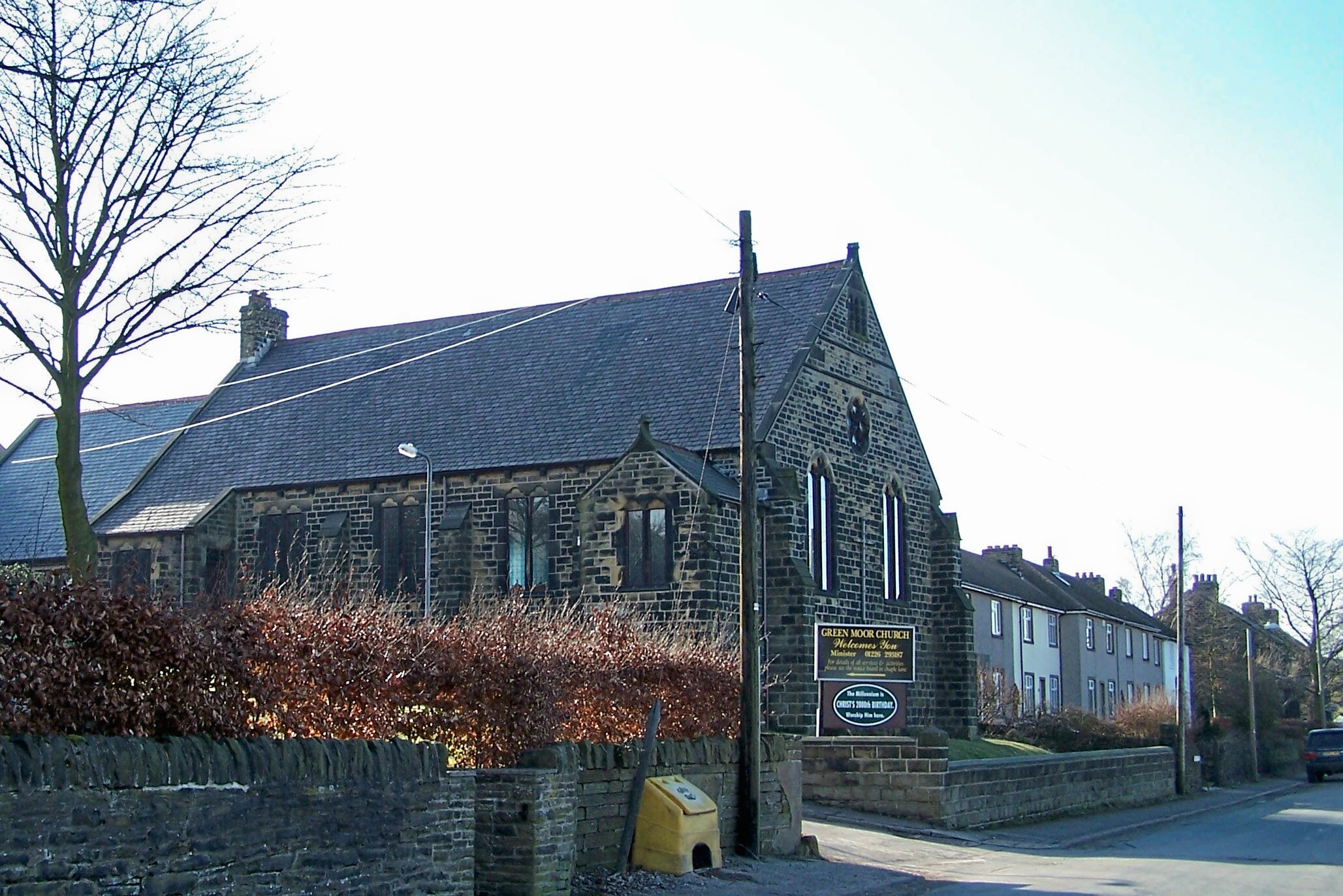
Green Moor
Green Moor is a small hamlet in South Yorkshire, England, in the parish of Hunshelf and close to Penistone and Oxspring. Green Moor used to be a stone...
Stocksbridge railway station
Stocksbridge was a small railway halt, the terminus of, and only railway station on the Stocksbridge Railway. The platform was a simple wooden affair,...

Stocksbridge High School
Stocksbridge High School is a mixed secondary school for 11 to 16-year-olds, in the town of Stocksbridge, South Yorkshire, England. In December 2017 the...
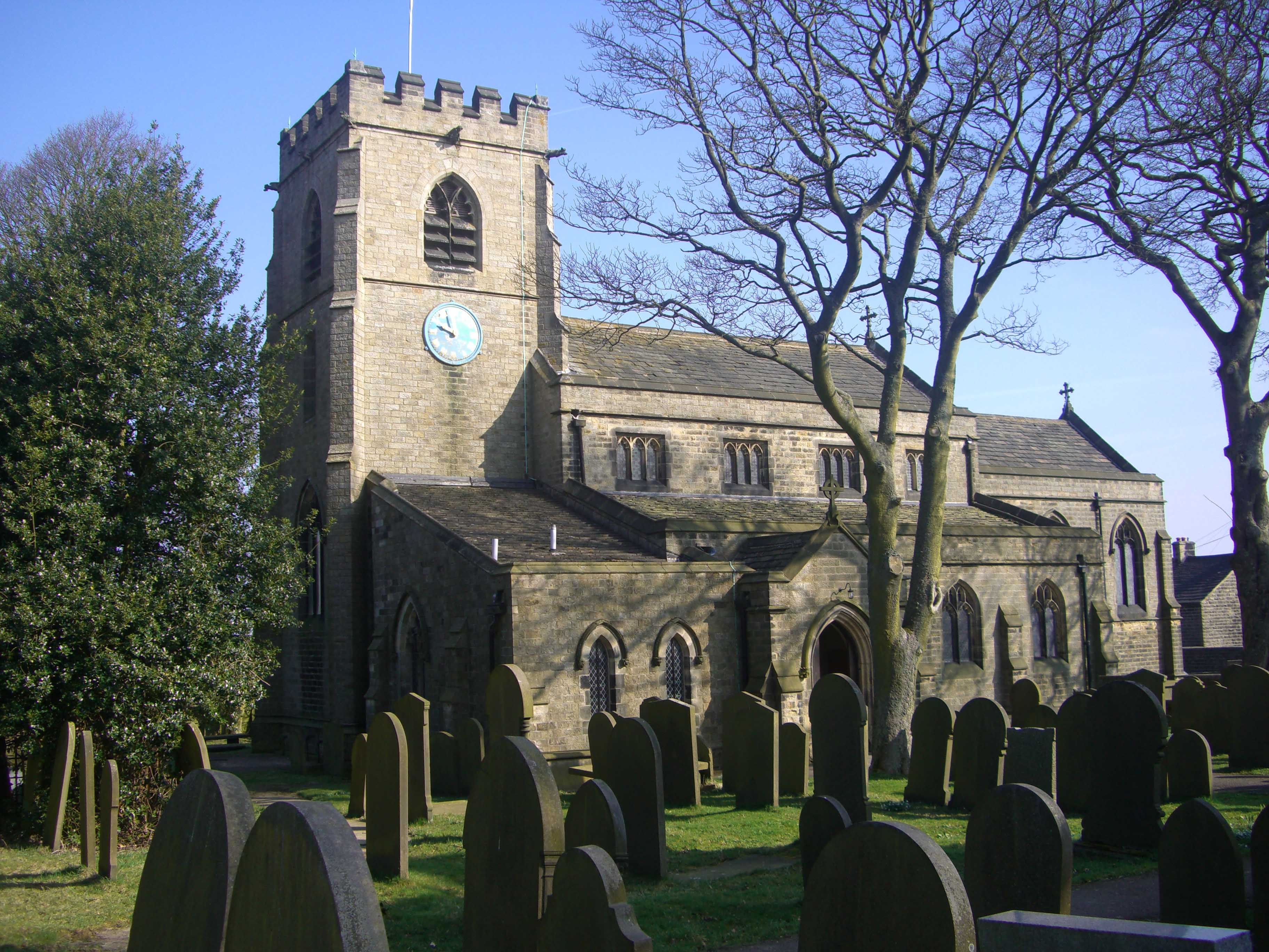
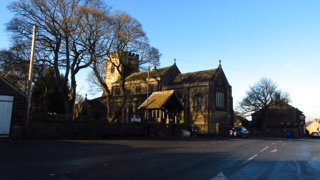
St Mary's Church, Bolsterstone
St Mary's Church, Bolsterstone is situated in the village of Bolsterstone, within the boundary of the City of Sheffield in South Yorkshire, England. The...
Bolsterstone
Bolsterstone is a village in South Yorkshire, England, south of Stocksbridge, and 8.5 miles to the northwest of the City of Sheffield and within the city...
Nearby Amenities
Located within 500m of 53.475151,-1.5808908Have you been to Fox Glen?
Leave your review of Fox Glen below (or comments, questions and feedback).