Bracken Moor

Settlement in Yorkshire

England

Bracken Moor

The outflow at Broomhead Reservoir
The outflow at Broomhead Reservoir Credit: Dave Pickersgill

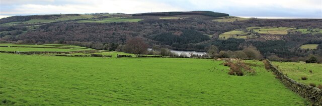
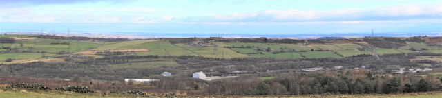
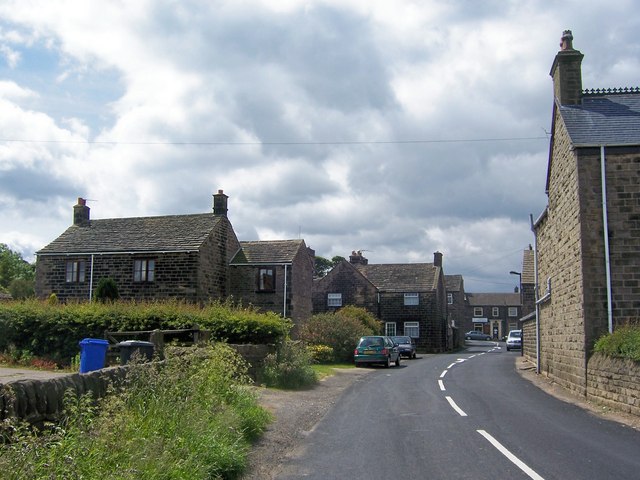
Bracken Moor is a picturesque village nestled in the heart of Yorkshire, England. Located in the borough of Barnsley, this charming countryside retreat offers residents and visitors alike a tranquil escape from the hustle and bustle of city life. The village is surrounded by rolling hills, lush green fields, and dense woodlands, creating a stunning natural landscape.

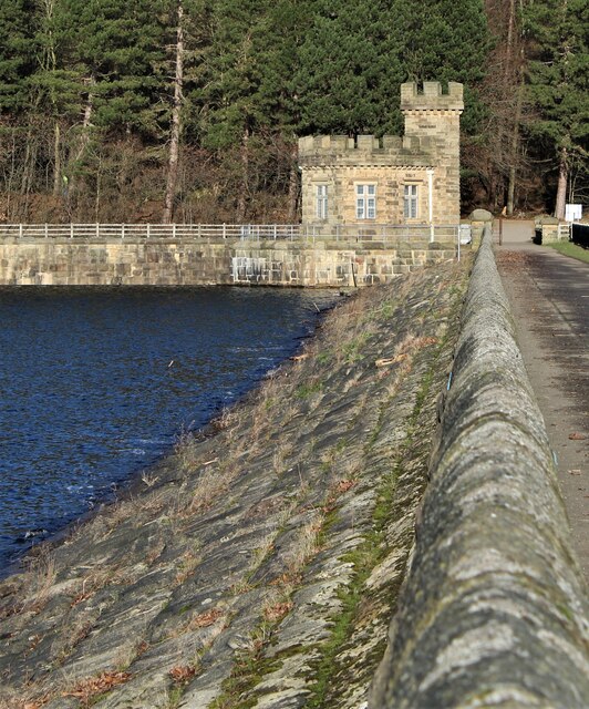
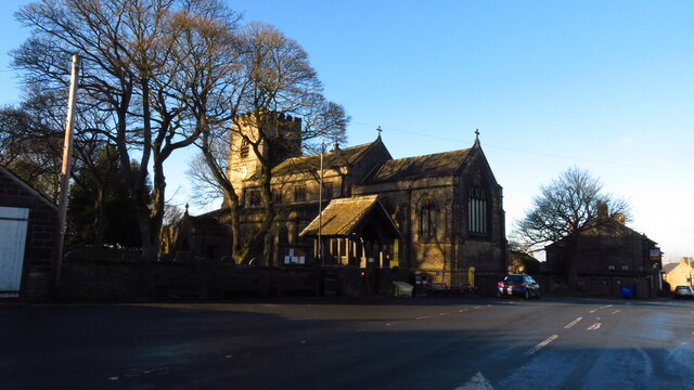
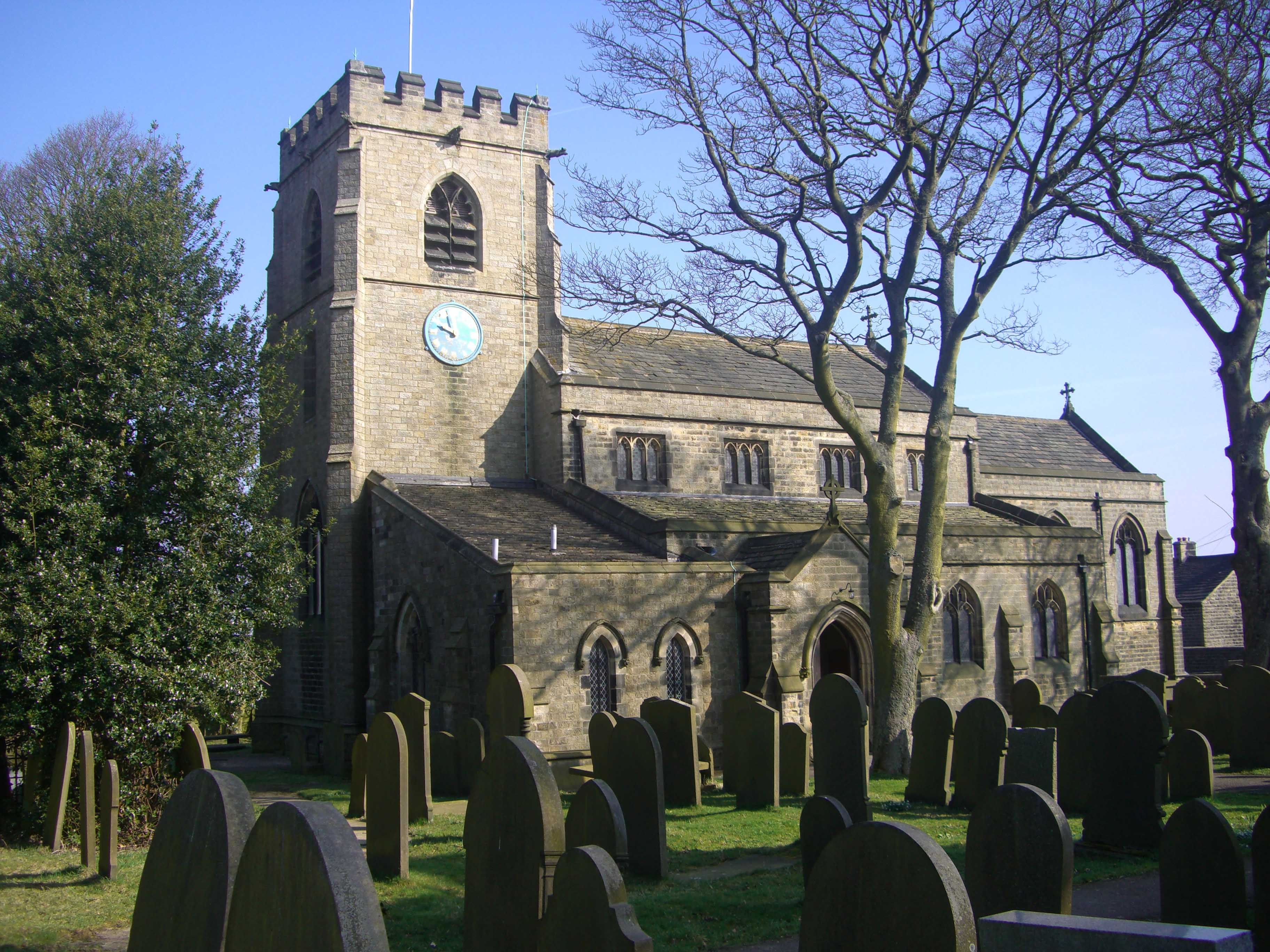
One of the highlights of Bracken Moor is its rich history. The village dates back to medieval times and still retains much of its old-world charm. Its traditional stone cottages, quaint country pubs, and historic buildings are a testament to its heritage. The village church, St. Mary's, is a notable landmark, with its striking architecture and beautiful stained glass windows.

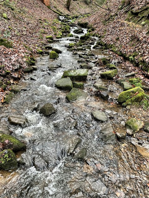
Nature enthusiasts will be spoilt for choice in Bracken Moor. The village is located near the Peak District National Park, offering countless opportunities for outdoor activities such as hiking, cycling, and birdwatching. The nearby River Don also provides a tranquil setting for fishing and boating.

Bracken Moor is well-connected to surrounding towns and cities, with good transport links and easy access to major highways. The village also boasts a range of amenities including local shops, schools, and a community center, ensuring that residents have everything they need close at hand.

Overall, Bracken Moor is a hidden gem in Yorkshire, offering a peaceful and idyllic setting for those seeking a slower pace of life. Its natural beauty, rich history, and sense of community make it a truly special place to live or visit.

If you have any feedback on the listing, please let us know in the comments section below.
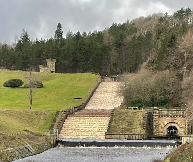
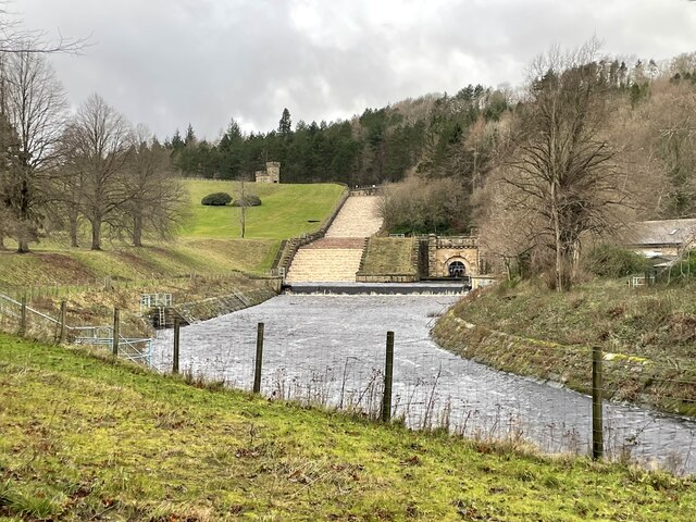
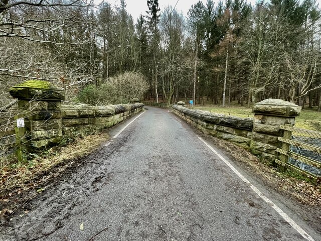
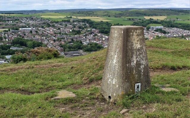
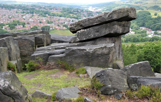
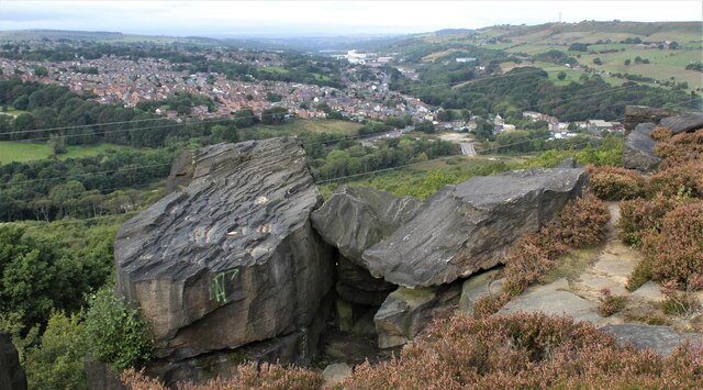
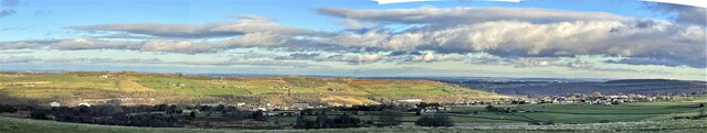
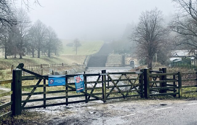
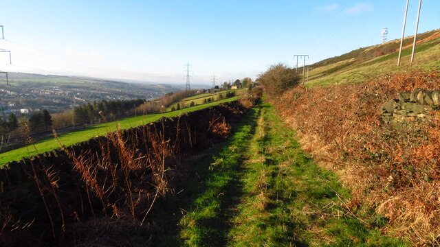
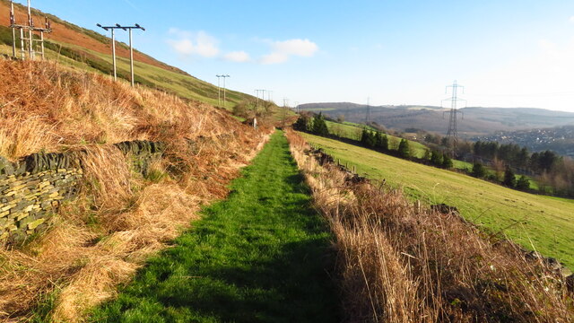
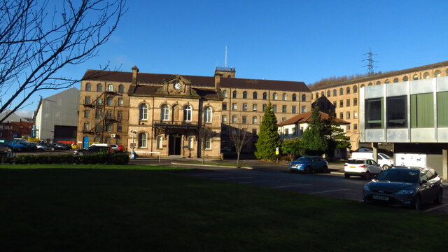
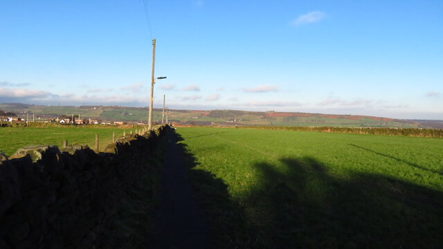
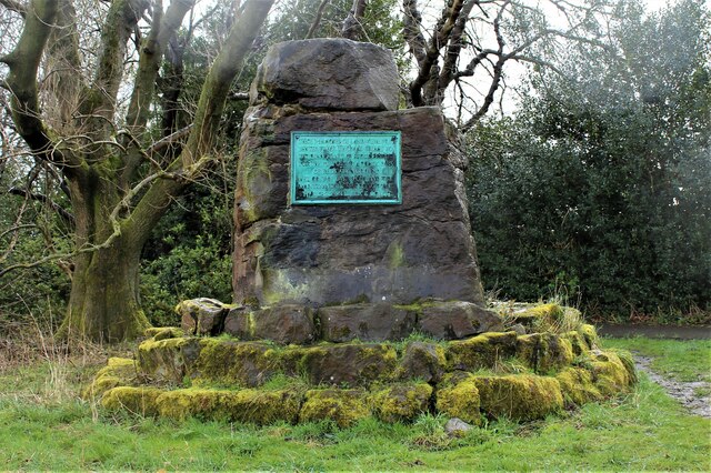
Bracken Moor Images

Images are sourced within 2km of 53.47535/-1.589248 or Grid Reference SK2797. Thanks to Geograph Open Source API. All images are credited.

The outflow at Broomhead Reservoir
New Mill Bridge New Mill Bridge is in the Ewden valley, between Broomhead and More Hall Reservoirs.
New Mill Bridge
New Mill Bridge is in the Ewden valley, between Broomhead and More Hall Reservoirs.
Hunshelf Bank Trig Point
Deepcar & Stocksbridge as seen from Wharncliffe Crags
Deepcar and Stocksbridge as seen from Wharncliffe Crags
Stocksbridge and Hunshelf Bank Stocksbridge and Hunshelf Bank as seen from Heads Lane.
Stocksbridge and Hunshelf Bank
Stocksbridge and Hunshelf Bank as seen from Heads Lane.
The run-off from Broomhead Reservoir
Broomhead reservoir, as seen from Heads Lane
Stocksbridge nestles in the valley
Stream in Pot House Wood
Dam wall at Broomhead Reservoir
Barnsley Boundary Walk heading towards Wellhouse Farm, Stocksbridge
Barnsley Boundary Walk looking towards Old Park House, Stocksbridge
Samuel Fox Steelworks complex, Stocksbridge
Path north from Bolsterstone towards Hollin Busk This path has a flagstone surface and has street lights.
Path north from Bolsterstone towards Hollin Busk
This path has a flagstone surface and has street lights.
Bolsterstone, St Mary's Church
Oxley Park, Stocksbridge
Show me another place!

Bracken Moor is located at Grid Ref: SK2797 (Lat: 53.47535, Lng: -1.589248)

Division: West Riding

Unitary Authority: Sheffield

Police Authority: South Yorkshire

What 3 Words

///uproot.contoured.sour. Near Stocksbridge, South Yorkshire

Nearby Locations

Bracken Moor Fox Glen

Related Wikis

Stocksbridge Park Steels F.C.

Stocksbridge Park Steels Football Club is an English association football club based in Stocksbridge, South Yorkshire. They currently compete in the Northern...

Stocksbridge

Stocksbridge is a town and civil parish, in the City of Sheffield, in South Yorkshire, England. Historically part of the West Riding of Yorkshire, it lies...

Stocksbridge High School

Stocksbridge High School is a mixed secondary school for 11 to 16-year-olds, in the town of Stocksbridge, South Yorkshire, England. In December 2017 the...

Stocksbridge railway station

Stocksbridge was a small railway halt, the terminus of, and only railway station on the Stocksbridge Railway. The platform was a simple wooden affair,...

St Mary's Church, Bolsterstone

St Mary's Church, Bolsterstone is situated in the village of Bolsterstone, within the boundary of the City of Sheffield in South Yorkshire, England. The...

Bolsterstone

Bolsterstone is a village in South Yorkshire, England, south of Stocksbridge, and 8.5 miles to the northwest of the City of Sheffield and within the city...

Deepcar

Deepcar is a village located on the eastern fringe of the town of Stocksbridge, South Yorkshire, England. It is in the electoral ward of Stocksbridge and...
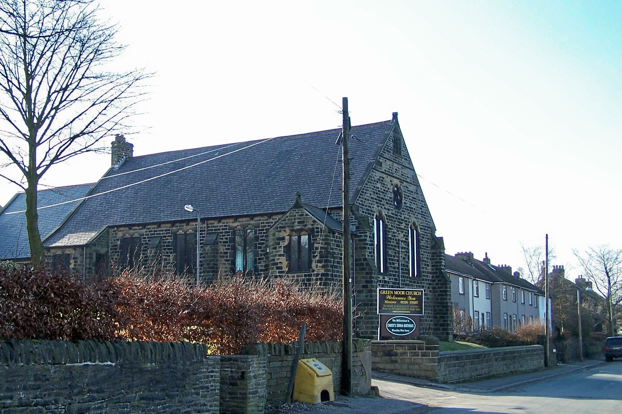
Green Moor

Green Moor is a small hamlet in South Yorkshire, England, in the parish of Hunshelf and close to Penistone and Oxspring. Green Moor used to be a stone...

Nearby Amenities

Located within 500m of 53.47535,-1.589248
Bus Stop
Lee Avenue/Bocking Hill
Alt Name: Lee Avenue/Bocking Hill
Bus: yes
Naptan AltCommonName: Lee Avenue/Bocking Hill
Naptan AtcoCode: 370022188
Naptan Bearing: NW
Naptan CommonName: Lee Avenue/Bocking Hill
Naptan Indicator: 22188
Naptan Landmark: 22188
Naptan PlusbusZoneRef: ROTHCEN
Naptan Street: Lee Avenue
Naptan Verified: no
Public Transport: platform
Source: naptan_import
Lat/Long: 53.4789362/-1.5858076
Bus Stop
Lee Avenue/Hills Road
Bus: yes
Naptan AtcoCode: 370022189
Naptan Bearing: SE
Naptan CommonName: Lee Avenue/Hills Road
Naptan Indicator: 22189
Naptan Landmark: 22189
Naptan PlusbusZoneRef: ROTHCEN
Naptan Street: Lee Avenue
Naptan Verified: no
Public Transport: platform
Source: naptan_import
Lat/Long: 53.4787977/-1.5849952
Bus Stop
Shay Road/Glebelands Road
Bus: yes
Naptan AtcoCode: 370022190
Naptan Bearing: SE
Naptan CommonName: Shay Road/Glebelands Road
Naptan Indicator: 22190
Naptan Landmark: 22190
Naptan PlusbusZoneRef: ROTHCEN
Naptan Street: Shay Road
Naptan Verified: no
Public Transport: platform
Source: naptan_import
Lat/Long: 53.4782957/-1.5922879
Bus Stop
Coal Pit Lane/Hollin Busk Lane
Bus: yes
Naptan AtcoCode: 370022234
Naptan Bearing: SW
Naptan CommonName: Coal Pit Lane/Hollin Busk Lane
Naptan Indicator: 22234
Naptan Landmark: 22234
Naptan PlusbusZoneRef: ROTHCEN
Naptan Street: Coal Pit Lane
Naptan Verified: no
Public Transport: platform
Source: naptan_import
Lat/Long: 53.4730448/-1.5948426
Coal Pit Lane/Spink Hill Lane
Naptan AtcoCode: 370026853
Naptan Bearing: NE
Naptan BusStopType: CUS
Naptan CommonName: Coal Pit Lane/Spink Hill Lane
Naptan Indicator: 26853
Naptan Landmark: 26853
Naptan PlusbusZoneRef: ROTHCEN
Naptan Street: Coal Pit Lane
Naptan Verified: no
Source: naptan_import
Lat/Long: 53.4744547/-1.5929257
Coal Pit Lane/Spink Hill Lane
Naptan AtcoCode: 370026854
Naptan Bearing: SW
Naptan BusStopType: CUS
Naptan CommonName: Coal Pit Lane/Spink Hill Lane
Naptan Indicator: 26854
Naptan Landmark: 26854
Naptan PlusbusZoneRef: ROTHCEN
Naptan Street: Coal Pit Lane
Naptan Verified: no
Source: naptan_import
Lat/Long: 53.474394/-1.5928126
Bus Stop
Coal Pit Lane/Hollin Busk Lane
Bus: yes
Naptan AtcoCode: 370026997
Naptan Bearing: NE
Naptan CommonName: Coal Pit Lane/Hollin Busk Lane
Naptan Indicator: 26997
Naptan Landmark: Youth Centre
Naptan PlusbusZoneRef: ROTHCEN
Naptan Street: Coal Pit Lane
Naptan Verified: no
Public Transport: platform
Source: naptan_import
Lat/Long: 53.4749657/-1.5917675
Bus Stop
Kenworthy Road/Glebelands Road
Bus: yes
Naptan AtcoCode: 370021960
Naptan Bearing: NW
Naptan CommonName: Kenworthy Road/Glebelands Road
Naptan Indicator: 21960
Naptan Landmark: 21960
Naptan PlusbusZoneRef: ROTHCEN
Naptan Street: Kenworthy Road
Naptan Verified: no
Public Transport: platform
Source: naptan_import
Lat/Long: 53.4765348/-1.5932442
Bus Stop
Coal Pit Lane/Spink Hall Lane
Alt Name: Coal Pit Lane/Spink Hall Lane
Bus: yes
Naptan AltCommonName: Coal Pit Lane/Spink Hall Lane
Naptan AtcoCode: 370021961
Naptan Bearing: SW
Naptan CommonName: Coal Pit Lane/Spink Hall Lane
Naptan Indicator: 21961
Naptan Landmark: Opposite Youth Centre
Naptan PlusbusZoneRef: ROTHCEN
Naptan Street: Coal Pit Lane
Naptan Verified: no
Public Transport: platform
Source: naptan_import
Lat/Long: 53.4746699/-1.5920115
Bus Stop
Hollin Busk Road/Coal Pit Lane
Alt Name: Hollin Busk Road/Coal Pit Lane
Bus: yes
Naptan AltCommonName: Hollin Busk Road/Coal Pit Lane
Naptan AtcoCode: 370021962
Naptan Bearing: S
Naptan CommonName: Hollin Busk Road/Coal Pit Lane
Naptan Indicator: 21962
Naptan Landmark: 21962
Naptan PlusbusZoneRef: ROTHCEN
Naptan Street: Hollin Busk Road
Naptan Verified: no
Public Transport: platform
Source: naptan_import
Lat/Long: 53.4746491/-1.591187
Bus Stop
Hollin Busk Road/Coal Pit Lane
Alt Name: Hollin Busk Road/Coal Pit Lane
Bus: yes
Naptan AltCommonName: Hollin Busk Road/Coal Pit Lane
Naptan AtcoCode: 370021963
Naptan Bearing: N
Naptan CommonName: Hollin Busk Road/Coal Pit Lane
Naptan Indicator: 21963
Naptan Landmark: Streetlight No 084405
Naptan PlusbusZoneRef: ROTHCEN
Naptan Street: Hollin Busk Road
Naptan Verified: no
Public Transport: platform
Source: naptan_import
Lat/Long: 53.4746422/-1.5913422
Bus Stop
Broomfield Lane/Bracken Moor Lane
Alt Name: Broomfield Lane/Bracken Moor Lane
Bus: yes
Naptan AltCommonName: Broomfield Lane/Bracken Moor Lane
Naptan AtcoCode: 370021964
Naptan Bearing: SW
Naptan CommonName: Broomfield Lane/Bracken Moor Lane
Naptan Indicator: 21964
Naptan Landmark: Opposite The Miners Arms Pub
Naptan PlusbusZoneRef: ROTHCEN
Naptan Street: Broomfield Lane
Naptan Verified: no
Public Transport: platform
Source: naptan_import
Lat/Long: 53.4753703/-1.5883008
Bus Stop
Broomfield Lane/Bracken Moor Lane
Alt Name: Broomfield Lane/Bracken Moor Lane
Bus: yes
Naptan AltCommonName: Broomfield Lane/Bracken Moor Lane
Naptan AtcoCode: 370021965
Naptan Bearing: NE
Naptan CommonName: Broomfield Lane/Bracken Moor Lane
Naptan Indicator: 21965
Naptan Landmark: Outside The Miners Arms Pub
Naptan PlusbusZoneRef: ROTHCEN
Naptan Street: Broomfield Lane
Naptan Verified: no
Public Transport: platform
Source: naptan_import
Lat/Long: 53.4754565/-1.5882876
Bus Stop
Knowles Avenue/Fox Glen Road
Alt Name: Knowles Avenue/Fox Glen Road
Bus: yes
Naptan AltCommonName: Knowles Avenue/Fox Glen Road
Naptan AtcoCode: 370021966
Naptan Bearing: N
Naptan CommonName: Knowles Avenue/Fox Glen Road
Naptan Indicator: 21966
Naptan Landmark: 21966
Naptan PlusbusZoneRef: ROTHCEN
Naptan Street: Knowles Avenue
Naptan Verified: no
Public Transport: platform
Source: naptan_import
Lat/Long: 53.4759131/-1.5849783
Bus Stop
Knowles Avenue/Brearley Avene
Alt Name: Knowles Avenue/Brearley Avene
Bus: yes
Naptan AltCommonName: Knowles Avenue/Brearley Avene
Naptan AtcoCode: 370021967
Naptan Bearing: N
Naptan CommonName: Knowles Avenue/Brearley Avene
Naptan Indicator: 21967
Naptan Landmark: 21967
Naptan PlusbusZoneRef: ROTHCEN
Naptan Street: Knowles Avenue
Naptan Verified: no
Public Transport: platform
Source: naptan_import
Lat/Long: 53.476075/-1.5850219
Bus Stop
Knowles Avenue/Lee Avenue
Alt Name: Knowles Avenue/Lee Avenue
Bus: yes
Naptan AltCommonName: Knowles Avenue/Lee Avenue
Naptan AtcoCode: 370021968
Naptan Bearing: N
Naptan CommonName: Knowles Avenue/Lee Avenue
Naptan Indicator: 21968
Naptan Landmark: Parade of Shops
Naptan PlusbusZoneRef: ROTHCEN
Naptan Street: Knowles Avenue
Naptan Verified: no
Public Transport: platform
Source: naptan_import
Lat/Long: 53.4769955/-1.5838149
Bus Stop
Knowles Avenue/Heath Road
Alt Name: Knowles Avenue/Heath Road
Bus: yes
Naptan AltCommonName: Knowles Avenue/Heath Road
Naptan AtcoCode: 370021969
Naptan Bearing: N
Naptan CommonName: Knowles Avenue/Heath Road
Naptan Indicator: 21969
Naptan Landmark: Stubbin Community Centre
Naptan PlusbusZoneRef: ROTHCEN
Naptan Street: Knowles Avenue
Naptan Verified: no
Public Transport: platform
Source: naptan_import
Lat/Long: 53.4768617/-1.5837787
Bus Stop
Lee Avenue/Knowles Avenue
Bus: yes
Departures Board: no
Naptan AtcoCode: 370021970
Naptan Bearing: NW
Naptan CommonName: Lee Avenue/Knowles Avenue
Naptan Indicator: 21970
Naptan Landmark: Parade of Shops
Naptan PlusbusZoneRef: ROTHCEN
Naptan Street: Lee Avenue
Naptan Verified: no
Network: 57
Operator: Stage Co
Public Transport: platform
Shelter: no
Source: naptan_import
Url: https://www.stagecoachbus.com/routes/yorkshire/57/stocksbridge-sheffield/xuao057.i
Lat/Long: 53.4775223/-1.583745
Bus Stop
Lee Avenue/Armitage Road
Alt Name: Lee Avenue/Armitage Road
Bus: yes
Departures Board: no
Naptan AltCommonName: Lee Avenue/Armitage Road
Naptan AtcoCode: 370021971
Naptan Bearing: SE
Naptan CommonName: Lee Avenue/Armitage Road
Naptan Indicator: 21971
Naptan Landmark: Parade of Shops
Naptan PlusbusZoneRef: ROTHCEN
Naptan Street: Lee Avenue
Naptan Verified: no
Network: 57
Operator: Stage Co
Public Transport: platform
Shelter: no
Source: naptan_import
Url: https://www.stagecoachbus.com/routes/yorkshire/57/stocksbridge-sheffield/xuao057.i
Lat/Long: 53.4773911/-1.5835023
Bus Stop
Hollin Busk Lane/Hollin Busk Road
Alt Name: Hollin Busk Lane/Hollin Busk Road
Bus: yes
Naptan AltCommonName: Hollin Busk Lane/Hollin Busk Road
Naptan AtcoCode: 370021972
Naptan Bearing: S
Naptan CommonName: Hollin Busk Lane/Hollin Busk Road
Naptan Indicator: 21972
Naptan Landmark: STREETLIGHT NO 084409
Naptan PlusbusZoneRef: ROTHCEN
Naptan Street: Hollin Busk Road
Naptan Verified: no
Public Transport: platform
Source: naptan_import
Lat/Long: 53.4731302/-1.5907437
Bus Stop
Hollin Busk Road/Hollin Busk Lane
Bus: yes
Naptan AtcoCode: 370021973
Naptan Bearing: N
Naptan CommonName: Hollin Busk Road/Hollin Busk Lane
Naptan Indicator: 21973
Naptan Landmark: Streetlight No 084408
Naptan PlusbusZoneRef: ROTHCEN
Naptan Street: Hollin Busk Road
Naptan Verified: no
Public Transport: platform
Source: naptan_import
Lat/Long: 53.4733365/-1.5911203
Bus Stop
Bracken Moor Lane/Victoria Road
Bus: yes
Naptan AtcoCode: 370027278
Naptan Bearing: N
Naptan CommonName: Bracken Moor Lane/Victoria Road
Naptan Indicator: 27278
Naptan Landmark: 27278
Naptan PlusbusZoneRef: ROTHCEN
Naptan Street: Bracken Moor Lane
Naptan Verified: no
Public Transport: platform
Source: naptan_import
Lat/Long: 53.4771016/-1.5881459
Turning Circle
Lat/Long: 53.4742382/-1.5939481
Turning Circle
Lat/Long: 53.4735613/-1.5927813
Turning Circle
Lat/Long: 53.4761624/-1.5940493
Turning Circle
Lat/Long: 53.4756506/-1.5945124
Turning Circle
Lat/Long: 53.4757507/-1.5954565
Turning Circle
Lat/Long: 53.4763663/-1.5915378
Turning Circle
Lat/Long: 53.4772482/-1.5932766
Turning Circle
Lat/Long: 53.4777862/-1.5911116
Turning Circle
Lat/Long: 53.4793515/-1.5906921
Turning Circle
Lat/Long: 53.4778236/-1.5850216
Turning Circle
Lat/Long: 53.4788086/-1.5920167
Post Box
Post Box Type: lamp
Ref: S36 479
Lat/Long: 53.474875/-1.5929463
Post Box
Post Box Type: wall
Ref: S36 293
Lat/Long: 53.4789237/-1.5863023
Post Box
Post Box Mounting: brick_pillar
Post Box Type: wall
Ref: S36 827
Lat/Long: 53.4772983/-1.5835726
Post Box
Post Box Type: wall
Ref: S36 241
Lat/Long: 53.4787091/-1.5937267
Turning Circle
Broomfield Lane
Lat/Long: 53.4750395/-1.5836813
Telephone
Booth: K6
Covered: booth
Operator: BT
Phone: +44 114 2882285
Lat/Long: 53.4774152/-1.5837475
Grit Bin
Operator: Sheffield City Council
Operator Type: government
Operator Wikidata: Q7492609
Seasonal: no
Lat/Long: 53.4755226/-1.5822444
Grit Bin
Operator: Sheffield City Council
Operator Type: government
Operator Wikidata: Q7492609
Seasonal: no
Lat/Long: 53.478638/-1.5890093
Grit Bin
Operator: Sheffield City Council
Operator Type: government
Operator Wikidata: Q7492609
Seasonal: no
Lat/Long: 53.4746687/-1.5926786
Grit Bin
Operator: Sheffield City Council
Operator Type: government
Operator Wikidata: Q7492609
Seasonal: no
Lat/Long: 53.4758583/-1.5962681
Grit Bin
Operator: Sheffield City Council
Operator Type: government
Operator Wikidata: Q7492609
Seasonal: no
Lat/Long: 53.4779453/-1.583637
Grit Bin
Operator: Sheffield City Council
Operator Type: government
Operator Wikidata: Q7492609
Seasonal: no
Lat/Long: 53.4732285/-1.5947262
Grit Bin
Operator: Sheffield City Council
Operator Type: government
Operator Wikidata: Q7492609
Seasonal: no
Lat/Long: 53.4794901/-1.5884737
Grit Bin
Operator: Sheffield City Council
Operator Type: government
Operator Wikidata: Q7492609
Seasonal: no
Lat/Long: 53.4790157/-1.5864442
Grit Bin
Operator: Sheffield City Council
Operator Type: government
Operator Wikidata: Q7492609
Seasonal: no
Lat/Long: 53.4793005/-1.5908563
Grit Bin
Operator: Sheffield City Council
Operator Type: government
Operator Wikidata: Q7492609
Seasonal: no
Lat/Long: 53.4791288/-1.5932236
Grit Bin
Operator: Sheffield City Council
Operator Type: government
Operator Wikidata: Q7492609
Seasonal: no
Lat/Long: 53.476401/-1.591969
Grit Bin
Operator: Sheffield City Council
Operator Type: government
Operator Wikidata: Q7492609
Seasonal: no
Lat/Long: 53.4777093/-1.5907812
Grit Bin
Operator: Sheffield City Council
Operator Type: government
Operator Wikidata: Q7492609
Seasonal: no
Lat/Long: 53.4759498/-1.5862179
Grit Bin
Operator: Sheffield City Council
Operator Type: government
Operator Wikidata: Q7492609
Seasonal: no
Lat/Long: 53.4749186/-1.5948156
Grit Bin
Operator: Sheffield City Council
Operator Type: government
Operator Wikidata: Q7492609
Seasonal: no
Lat/Long: 53.4771585/-1.5926698
Grit Bin
Operator: Sheffield City Council
Operator Type: government
Operator Wikidata: Q7492609
Seasonal: no
Lat/Long: 53.4748449/-1.594289
Generator Method: photovoltaic
Generator Output Electricity: yes
Generator Source: solar
Generator Type: solar_photovoltaic_panel
Location: roof
Power: generator
Lat/Long: 53.475567/-1.588828
Generator Method: photovoltaic
Generator Output Electricity: yes
Generator Source: solar
Generator Type: solar_photovoltaic_panel
Location: roof
Power: generator
Lat/Long: 53.4756501/-1.5887716
Generator Method: photovoltaic
Generator Output Electricity: yes
Generator Source: solar
Generator Type: solar_photovoltaic_panel
Location: roof
Power: generator
Lat/Long: 53.4747178/-1.5858051
Generator Method: photovoltaic
Generator Output Electricity: yes
Generator Source: solar
Generator Type: solar_photovoltaic_panel
Location: roof
Power: generator
Lat/Long: 53.4757857/-1.5845981
Generator Method: photovoltaic
Generator Output Electricity: yes
Generator Source: solar
Generator Type: solar_photovoltaic_panel
Location: roof
Power: generator
Lat/Long: 53.4753914/-1.5843138
Generator Method: photovoltaic
Generator Output Electricity: yes
Generator Source: solar
Generator Type: solar_photovoltaic_panel
Location: roof
Power: generator
Lat/Long: 53.4754074/-1.5835601
Generator Method: photovoltaic
Generator Output Electricity: yes
Generator Source: solar
Generator Type: solar_photovoltaic_panel
Location: roof
Power: generator
Lat/Long: 53.4752877/-1.582852
Generator Method: photovoltaic
Generator Output Electricity: yes
Generator Source: solar
Generator Type: solar_photovoltaic_panel
Location: roof
Power: generator
Lat/Long: 53.4760172/-1.5843272
Generator Method: photovoltaic
Generator Output Electricity: yes
Generator Source: solar
Generator Type: solar_photovoltaic_panel
Location: roof
Power: generator
Lat/Long: 53.4762455/-1.5840429
Generator Method: photovoltaic
Generator Output Electricity: yes
Generator Source: solar
Generator Type: solar_photovoltaic_panel
Location: roof
Power: generator
Lat/Long: 53.4761832/-1.5839142
Generator Method: photovoltaic
Generator Output Electricity: yes
Generator Source: solar
Generator Type: solar_photovoltaic_panel
Location: roof
Power: generator
Lat/Long: 53.4768186/-1.5844077
Generator Method: photovoltaic
Generator Output Electricity: yes
Generator Source: solar
Generator Type: solar_photovoltaic_panel
Location: roof
Power: generator
Lat/Long: 53.4776614/-1.5913439
Generator Method: photovoltaic
Generator Output Electricity: yes
Generator Source: solar
Generator Type: solar_photovoltaic_panel
Location: roof
Power: generator
Lat/Long: 53.4787692/-1.5941387
Generator Method: photovoltaic
Generator Output Electricity: yes
Generator Source: solar
Generator Type: solar_photovoltaic_panel
Location: roof
Power: generator
Lat/Long: 53.4785394/-1.5935192
Generator Method: photovoltaic
Generator Output Electricity: yes
Generator Source: solar
Generator Type: solar_photovoltaic_panel
Location: roof
Power: generator
Lat/Long: 53.4730096/-1.5956569
Generator Method: photovoltaic
Generator Output Electricity: yes
Generator Source: solar
Generator Type: solar_photovoltaic_panel
Location: roof
Power: generator
Lat/Long: 53.4743905/-1.5941736
Generator Method: photovoltaic
Generator Output Electricity: yes
Generator Source: solar
Generator Type: solar_photovoltaic_panel
Location: roof
Power: generator
Lat/Long: 53.4744352/-1.5944821
Generator Method: photovoltaic
Generator Output Electricity: yes
Generator Source: solar
Generator Type: solar_photovoltaic_panel
Location: roof
Power: generator
Lat/Long: 53.4758975/-1.5954074
Generator Method: photovoltaic
Generator Output Electricity: yes
Generator Source: solar
Generator Type: solar_photovoltaic_panel
Location: roof
Power: generator
Lat/Long: 53.4763636/-1.5940623
Generator Method: photovoltaic
Generator Output Electricity: yes
Generator Source: solar
Generator Type: solar_photovoltaic_panel
Location: roof
Power: generator
Lat/Long: 53.4763429/-1.5939832
Generator Method: photovoltaic
Generator Output Electricity: yes
Generator Source: solar
Generator Type: solar_photovoltaic_panel
Location: roof
Power: generator
Lat/Long: 53.4740433/-1.5923101
Generator Method: photovoltaic
Generator Output Electricity: yes
Generator Source: solar
Generator Type: solar_photovoltaic_panel
Location: roof
Power: generator
Lat/Long: 53.4745597/-1.5932643
Generator Method: photovoltaic
Generator Output Electricity: yes
Generator Source: solar
Generator Type: solar_photovoltaic_panel
Location: roof
Power: generator
Lat/Long: 53.4740281/-1.5929747
Generator Method: photovoltaic
Generator Output Electricity: yes
Generator Source: solar
Generator Type: solar_photovoltaic_panel
Location: roof
Power: generator
Lat/Long: 53.4740952/-1.592693
Generator Method: photovoltaic
Generator Output Electricity: yes
Generator Source: solar
Generator Type: solar_photovoltaic_panel
Location: roof
Power: generator
Lat/Long: 53.4734582/-1.5912943
The data included in this document is from www.openstreetmap.org. The data is made available under ODbL.

Have you been to Bracken Moor?

Leave your review of Bracken Moor below (or comments, questions and feedback).