Wranglands Plantation
Wood, Forest in Derbyshire South Derbyshire
England
Wranglands Plantation

Wranglands Plantation is a picturesque woodland area located in Derbyshire, England. Stretching across an extensive area, this plantation is well-known for its lush greenery, diverse flora and fauna, and tranquil atmosphere.
The plantation is primarily comprised of a mix of deciduous and coniferous trees, including oak, beech, pine, and spruce, which provide a stunning display of colors throughout the seasons. In the spring and summer, the woodland floor is adorned with vibrant wildflowers and ferns, creating a vibrant and enchanting landscape.
The plantation is a haven for wildlife enthusiasts, as it is home to a wide variety of animal species. Visitors are likely to spot deer, foxes, badgers, and a multitude of bird species, including woodpeckers, owls, and various songbirds. The plantation also supports a variety of insects, butterflies, and small mammals, adding to its ecological richness.
For nature lovers, Wranglands Plantation offers several walking trails and paths that wind through the woodland, allowing visitors to explore its beauty at their own pace. These paths offer breathtaking views of the surrounding countryside and provide opportunities for birdwatching and photography.
The plantation is easily accessible to the public, with designated parking areas and well-maintained footpaths. It is a popular destination for families, hikers, and nature enthusiasts, who come to enjoy the peace and serenity of this natural retreat. Whether it’s a leisurely stroll, a picnic amidst the trees, or a chance to connect with nature, Wranglands Plantation offers a truly enchanting experience for all who visit.
If you have any feedback on the listing, please let us know in the comments section below.
Wranglands Plantation Images
Images are sourced within 2km of 52.818561/-1.5871715 or Grid Reference SK2724. Thanks to Geograph Open Source API. All images are credited.


Wranglands Plantation is located at Grid Ref: SK2724 (Lat: 52.818561, Lng: -1.5871715)
Administrative County: Derbyshire
District: South Derbyshire
Police Authority: Derbyshire
What 3 Words
///scrap.lawn.about. Near Repton, Derbyshire
Nearby Locations
Related Wikis
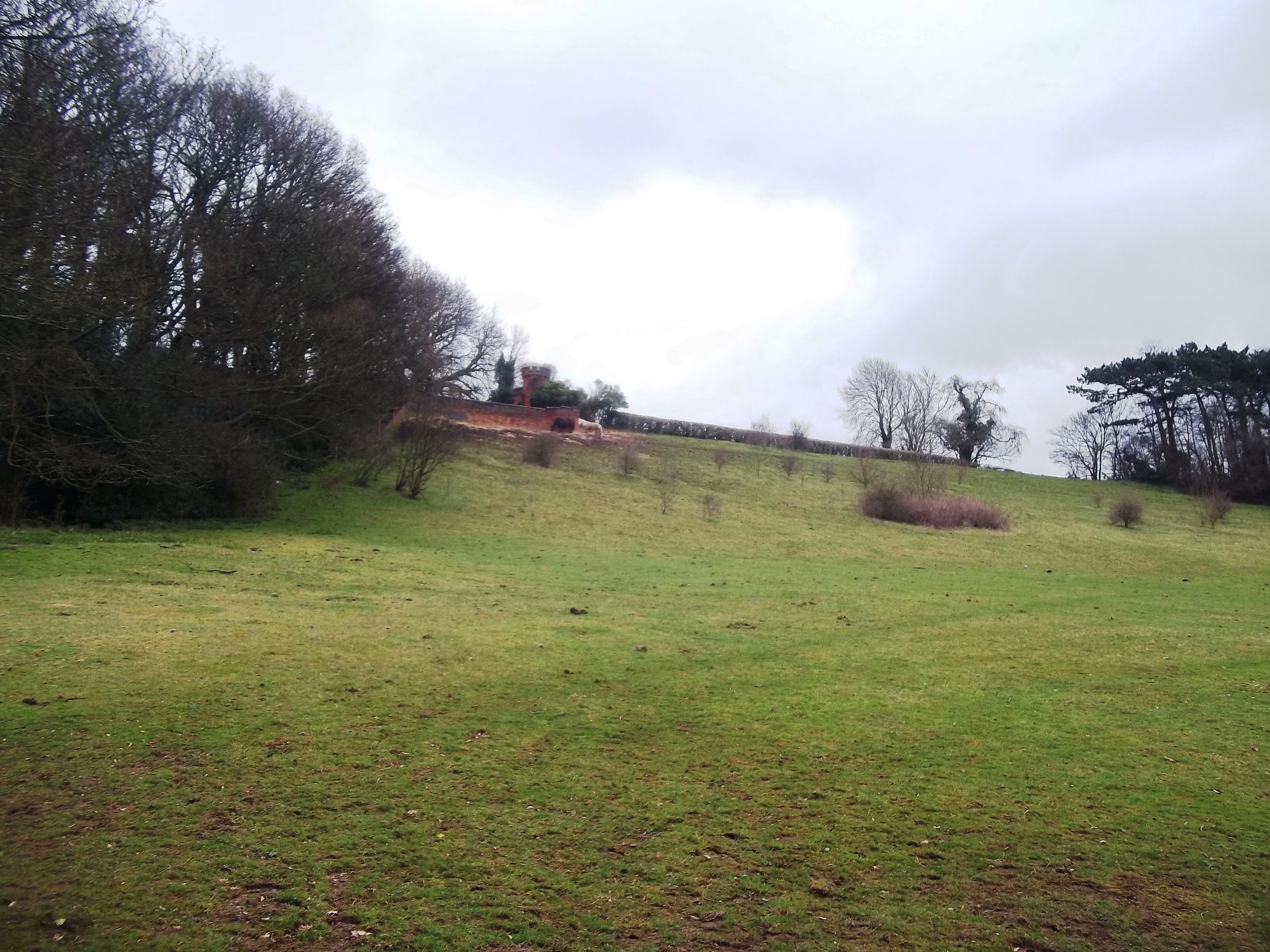
Bladon Castle
Bladon Castle is a folly, partly converted into a country house, located some 600 yards (550 m) southwest of the village of Newton Solney in South Derbyshire...
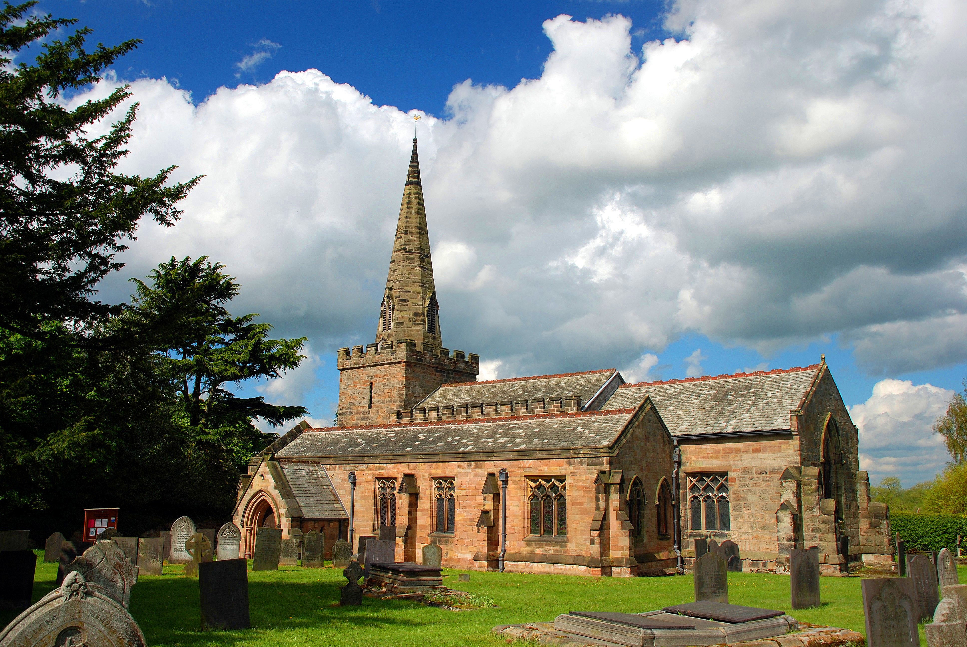
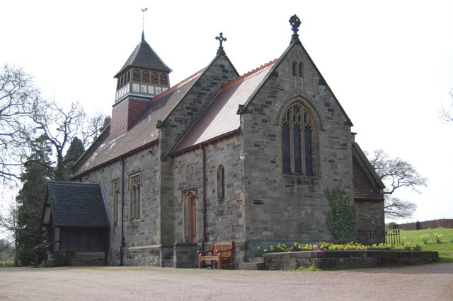
St Mary the Virgin's Church, Newton Solney
St Mary the Virgin's Church, Newton Solney is a Grade II* listed parish church in the Church of England in Newton Solney, Derbyshire. == History == The...

Newton Solney
Newton Solney is a small village and civil parish in South Derbyshire, England, located about two miles (3 km) from the East Staffordshire border, near...
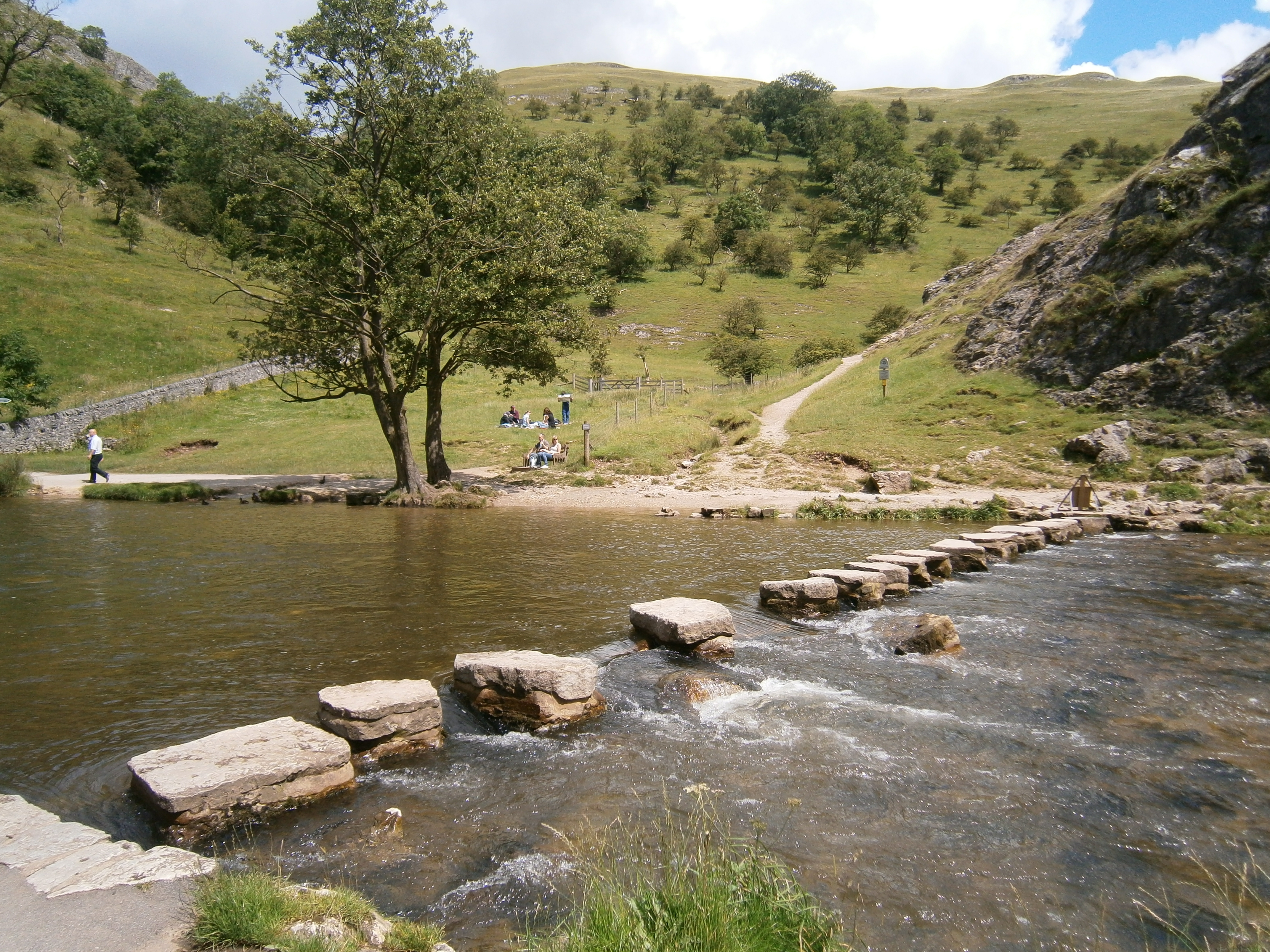
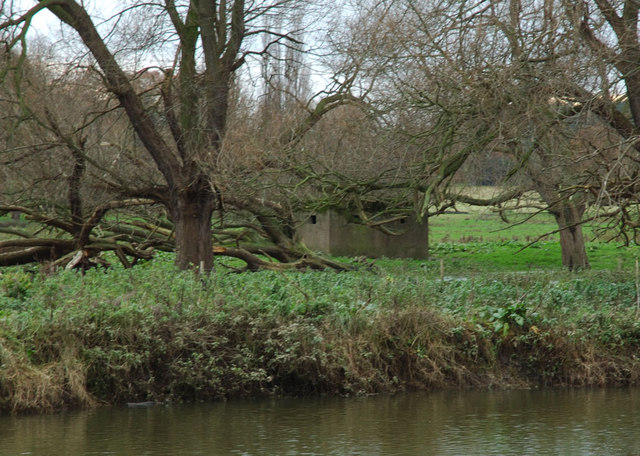
River Dove, central England
The River Dove ( DUV, traditionally DOHV) is the principal river of the southwestern Peak District, in the Midlands of England and is around 45 miles...
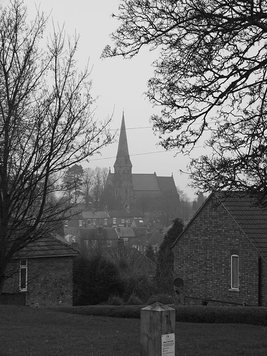
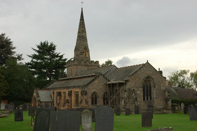
St Mark's, Winshill
St Mark's is the Church of England parish church for the Burton upon Trent suburb of Winshill, east of the town. It is part of the Diocese of Derby. Built...

Burton upon Trent Flour Mills
Burton Flour Mills is a Grade II listed building now used for residential purposes and a hydro-electric power plant on the River Trent in Winshill, Staffordshire...
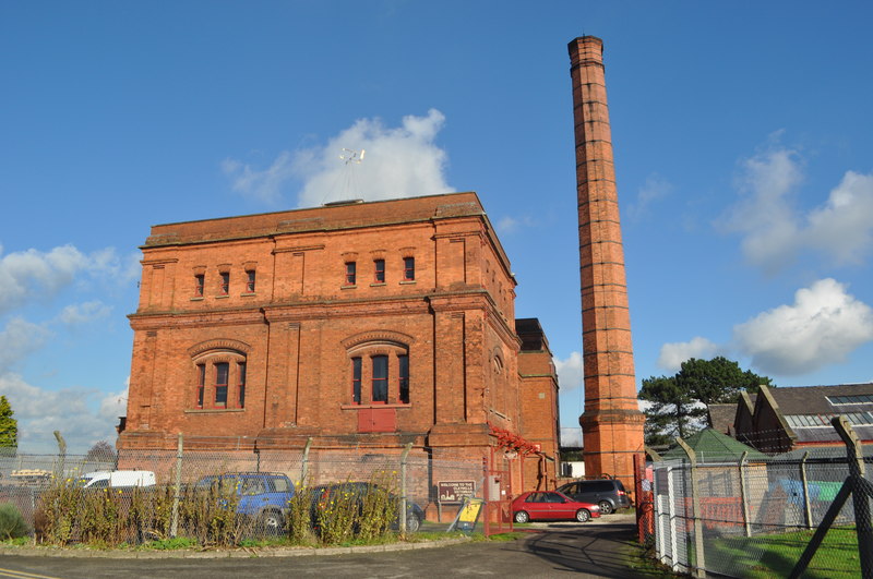
Claymills Pumping Station
Claymills Pumping Station is a restored Victorian sewage pumping station on the north side of Burton upon Trent, Staffordshire, England DE13 0DA. It was...
Burton-on-Trent CC Ground
Burton-on-Trent Cricket Club Ground is a cricket ground in Burton, England used by Derbyshire CCC for 13 first-class matches between 1914 and 1937. The...
Have you been to Wranglands Plantation?
Leave your review of Wranglands Plantation below (or comments, questions and feedback).