Yokecliffe Wood
Wood, Forest in Derbyshire Derbyshire Dales
England
Yokecliffe Wood
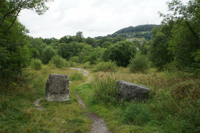
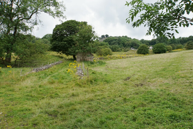
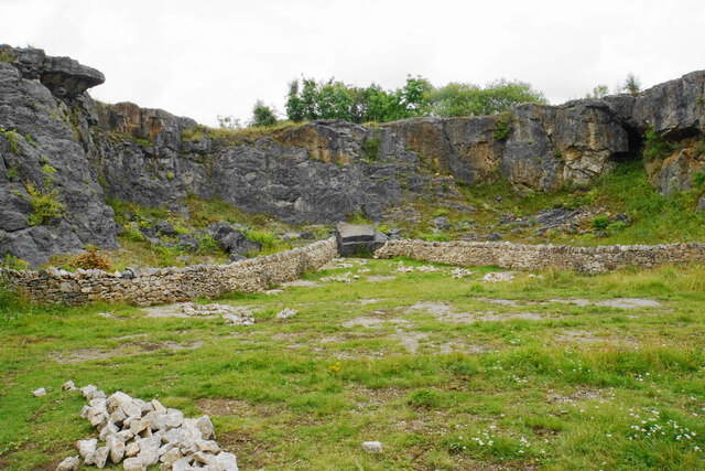
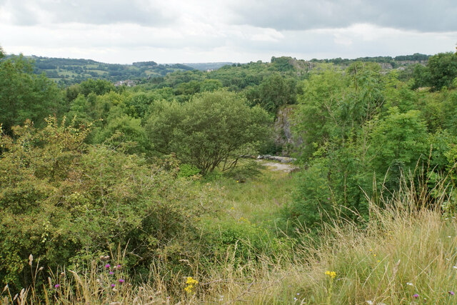
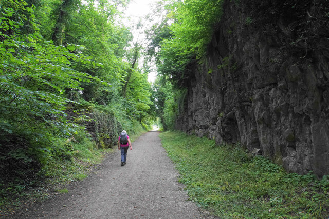
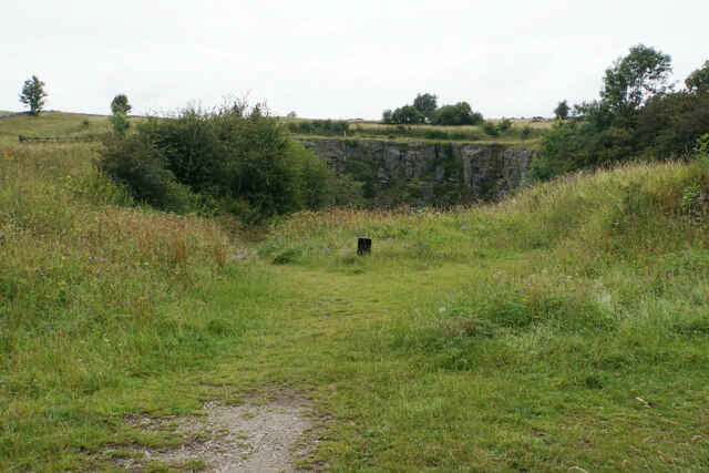
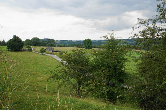
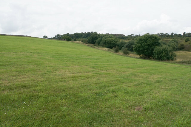
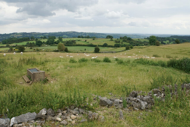
Yokecliffe Wood is a picturesque woodland located in Derbyshire, England. Spanning over 100 acres, it is nestled within the scenic landscape of the Peak District National Park. The wood is characterized by its diverse flora and fauna, making it a haven for nature enthusiasts and wildlife lovers.
The wood is predominantly comprised of broadleaf trees such as oak, beech, and birch, which create a dense canopy that provides shade and shelter for a variety of woodland creatures. The forest floor is adorned with an array of wildflowers, including bluebells, primroses, and wood anemones, which bloom vibrantly during the spring season.
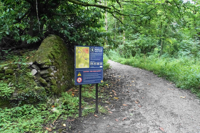
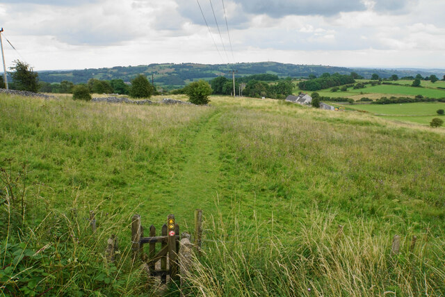
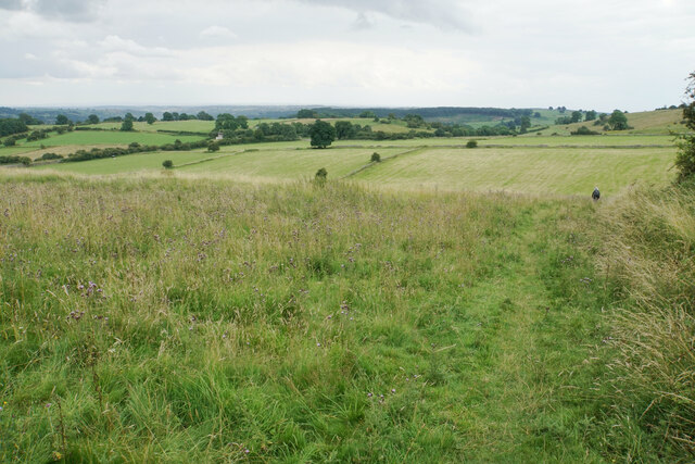
Yokecliffe Wood is crisscrossed by a network of well-maintained footpaths, allowing visitors to explore its beauty while immersing themselves in the tranquility of nature. The paths wind through the wood, leading to open clearings and secluded spots where visitors can sit and admire the surroundings.
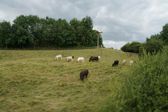
The wood is home to a diverse range of wildlife, including deer, foxes, badgers, and a wide variety of bird species. It provides an important habitat for many endangered and protected species, making it a site of conservation significance.
Yokecliffe Wood offers a range of recreational activities for visitors, including walking, birdwatching, and photography. It is a popular destination for families, nature enthusiasts, and those seeking solace in the natural world.
Overall, Yokecliffe Wood is a charming and vibrant woodland, offering visitors a chance to connect with nature and experience the beauty of Derbyshire's countryside.
If you have any feedback on the listing, please let us know in the comments section below.
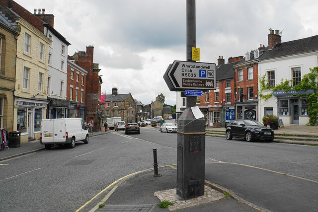
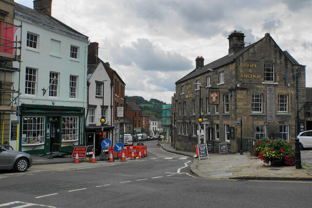
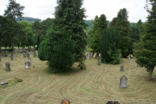
Yokecliffe Wood Images
Images are sourced within 2km of 53.081064/-1.5889059 or Grid Reference SK2753. Thanks to Geograph Open Source API. All images are credited.
Yokecliffe Wood is located at Grid Ref: SK2753 (Lat: 53.081064, Lng: -1.5889059)
Administrative County: Derbyshire
District: Derbyshire Dales
Police Authority: Derbyshire
What 3 Words
///sunbeam.fact.blank. Near Wirksworth, Derbyshire
Nearby Locations
Related Wikis

Godfreyhole
Godfreyhole is a hamlet in Derbyshire, England. It is located at the junction of the B5035 and West End roads, 2 miles (3.2 km) west of Wirksworth, the...

Dream Cave
Dream Cave (sometimes called Dream Hole or Dream Mine) is a natural limestone cavern located near Wirksworth in Derbyshire, England. It was discovered...
Derby Road Ground
Derby Road Ground is a cricket ground in Wirksworth, Derbyshire. The first recorded match on the ground was in 1866, when Wirksworth played an All-England...

Wirksworth
Wirksworth is a market town in the Derbyshire Dales district of Derbyshire, England. Its population of 4,904 in the 2021 census was estimated at 5,220...

St Mary's Church, Wirksworth
St Mary the Virgin is a parish church in the Church of England in Wirksworth, Derbyshire. It is a Grade I listed building. The existing building dates...
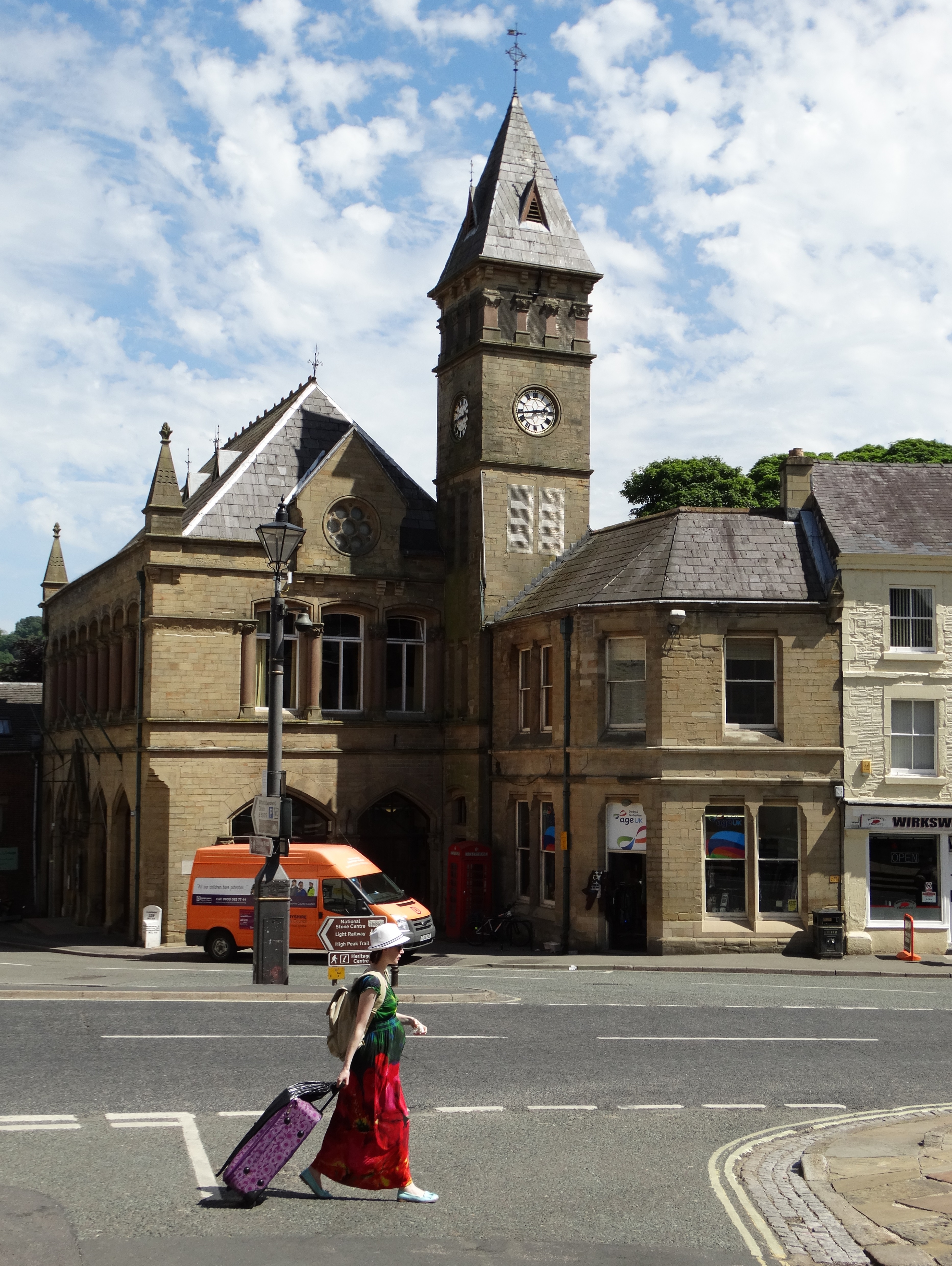
Wirksworth Town Hall
Wirksworth Town Hall is a municipal building in Coldwell Street, Wirksworth, Derbyshire, England. The town hall, which was the headquarters of Wirksworth...
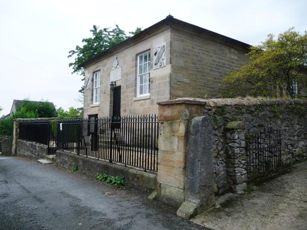
Moot Hall, Wirksworth
The Moot Hall is a judicial building in Chapel Lane in Wirksworth, Derbyshire, England. The building, which is used as the meeting place of the barmote...
Anthony Gell School
Anthony Gell School is a coeducational secondary school and sixth form located in Wirksworth in the English county of Derbyshire.It began as a Free Grammar...
Nearby Amenities
Located within 500m of 53.081064,-1.5889059Have you been to Yokecliffe Wood?
Leave your review of Yokecliffe Wood below (or comments, questions and feedback).