Windmillhill Copse
Wood, Forest in Berkshire Vale of White Horse
England
Windmillhill Copse
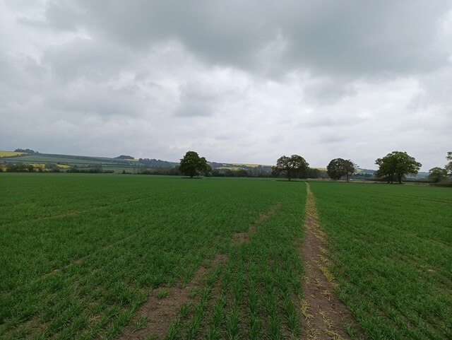
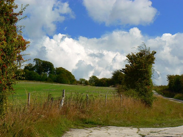
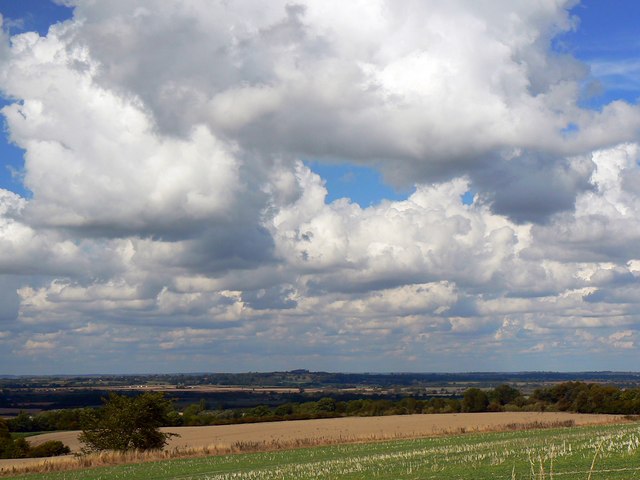
Windmillhill Copse is a picturesque woodland located in Berkshire, England. Covering an area of approximately 30 hectares, this dense forest is situated near the town of Ascot in the eastern part of the county. The copse is well-known for its diverse range of tree species and tranquil atmosphere, making it a popular destination for nature enthusiasts and hikers.
The woodland is primarily composed of native British trees such as oak, beech, and birch, which form a dense canopy that provides shade and shelter for various wildlife. The forest floor is covered in a thick layer of leaf litter, creating a rich habitat for a plethora of flora and fauna. Bluebells, wild garlic, and ferns are some of the common plants that can be found in Windmillhill Copse.
Birdwatchers will be delighted to spot a variety of avian species in the copse, including woodpeckers, tits, and thrushes. Small mammals like squirrels and rabbits can also be seen scurrying among the trees. The copse is also home to a population of deer, which can occasionally be spotted grazing in the early morning or late evening.
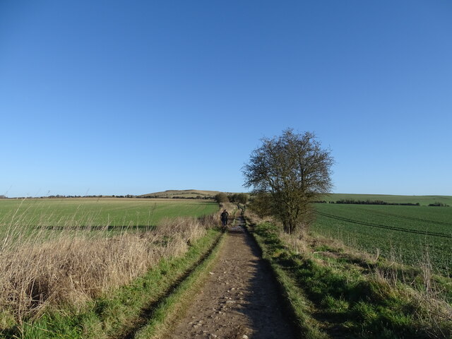
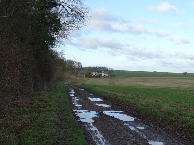
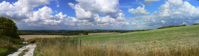
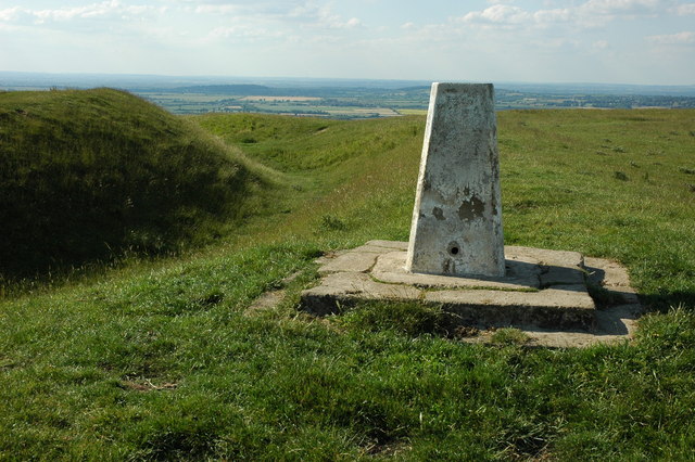
Windmillhill Copse offers several well-marked footpaths that wind through the woodland, allowing visitors to explore its beauty at their own pace. These paths lead to a small hill where an old windmill once stood, providing a panoramic view of the surrounding countryside.
Overall, Windmillhill Copse is a serene and picturesque woodland, offering visitors a chance to immerse themselves in the beauty of nature and escape the hustle and bustle of everyday life.
If you have any feedback on the listing, please let us know in the comments section below.
Windmillhill Copse Images
Images are sourced within 2km of 51.579687/-1.6027286 or Grid Reference SU2786. Thanks to Geograph Open Source API. All images are credited.


Windmillhill Copse is located at Grid Ref: SU2786 (Lat: 51.579687, Lng: -1.6027286)
Administrative County: Oxfordshire
District: Vale of White Horse
Police Authority: Thames Valley
What 3 Words
///weddings.beanbag.outhouse. Near Shrivenham, Oxfordshire
Nearby Locations
Related Wikis
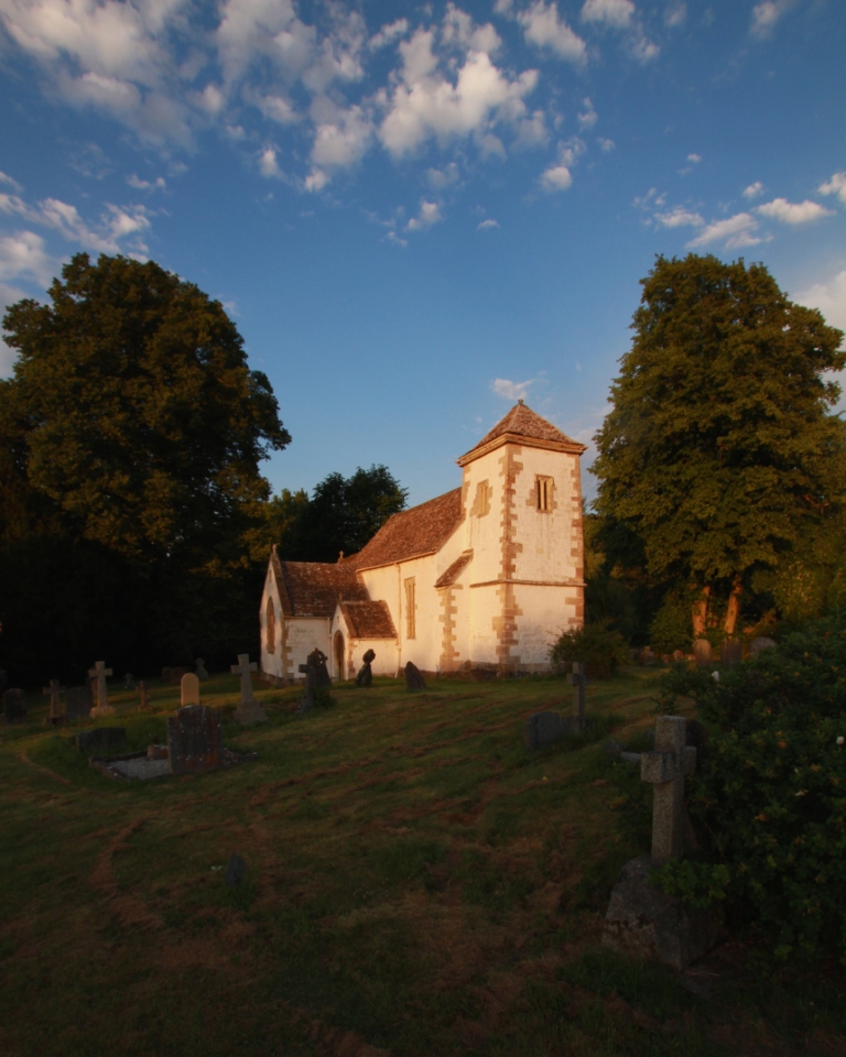
Compton Beauchamp
Compton Beauchamp is a hamlet and civil parish 3 miles (5 km) southeast of Shrivenham in the Vale of White Horse, England. It was part of Berkshire until...

Hardwell Castle
Hardwell Castle or Hardwell Camp is an Iron Age valley fort in the civil parish of Compton Beauchamp in Oxfordshire (previously Berkshire). == Site... ==
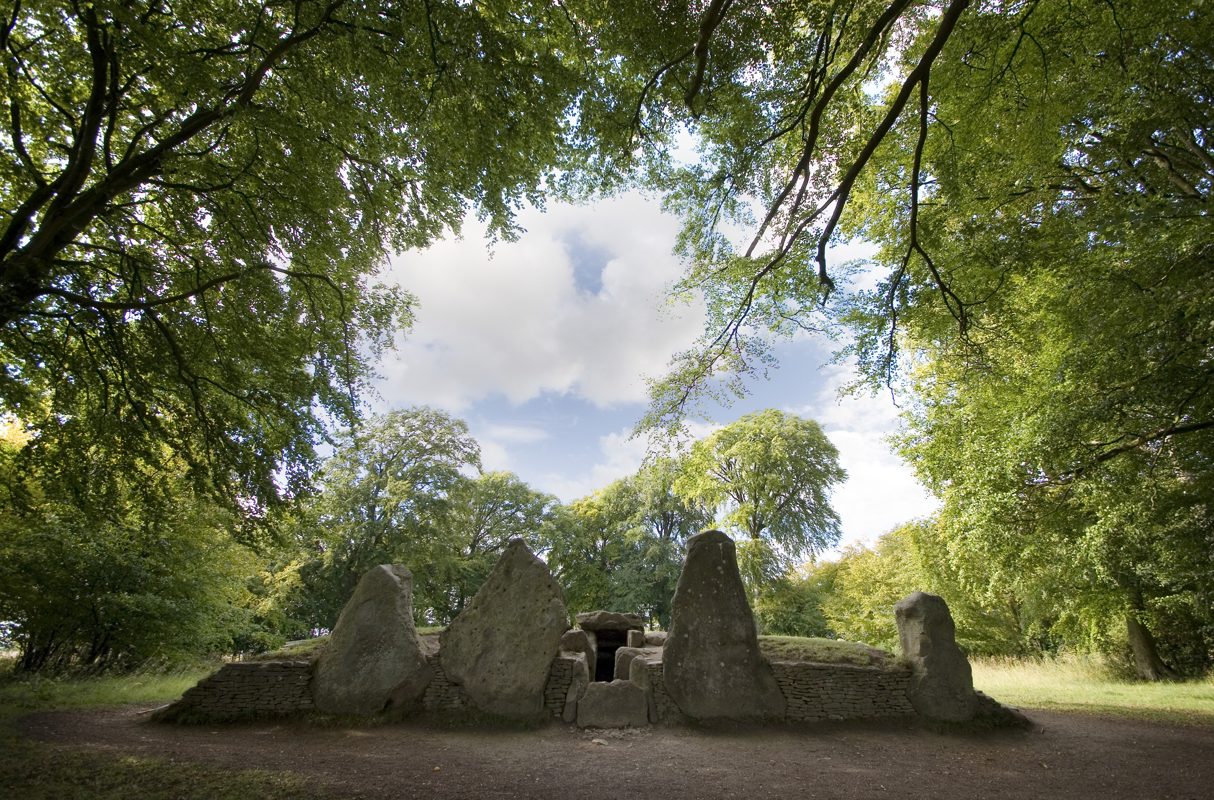
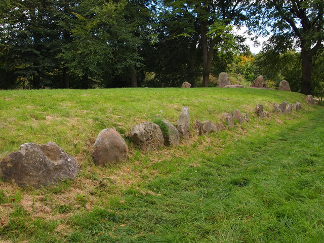
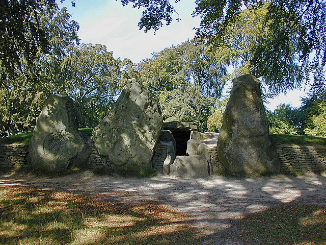
Wayland's Smithy
Wayland's Smithy is an Early Neolithic chambered long barrow located near the village of Ashbury in the south-central English county of Oxfordshire. The...

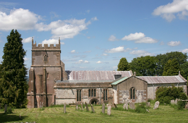
Woolstone, Oxfordshire
Woolstone is a village and civil parish about 4+1⁄2 miles (7 km) south of Faringdon in the Vale of White Horse. Woolstone was part of Berkshire until the...
Ashbury, Oxfordshire
Ashbury is a village and large civil parish at the upper end (west) of the Vale of White Horse. It was part of Berkshire until the 1974 boundary changes...
Berkshire Downs
The Berkshire Downs are a range of chalk downland hills in southern England, part of the North Wessex Downs Area of Outstanding Natural Beauty. The Berkshire...

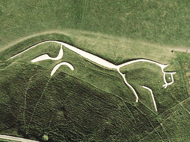
Dragon Hill, Uffington
Dragon Hill is a small hillock immediately below the Uffington White Horse on the border of the civil parishes of Uffington and Woolstone in the English...
Uffington Castle
Uffington Castle is an early Iron Age (with underlying Bronze Age) univallate hillfort in Oxfordshire, England. It covers about 32,000 square metres and...
Nearby Amenities
Located within 500m of 51.579687,-1.6027286Have you been to Windmillhill Copse?
Leave your review of Windmillhill Copse below (or comments, questions and feedback).