Widley Copse
Wood, Forest in Oxfordshire West Oxfordshire
England
Widley Copse

Widley Copse is a picturesque woodland located in Oxfordshire, England. Covering an area of approximately 50 acres, it is a popular destination for nature lovers and outdoor enthusiasts. The copse is nestled within the larger Wytham Woods, which is famous for its rich biodiversity and scientific research.
Widley Copse is characterized by its dense canopy of native tree species, primarily consisting of oak, beech, and birch. The woodland floor is adorned with a carpet of bluebells in the spring, creating a stunning display of vibrant colors. This natural beauty attracts numerous visitors who come to enjoy the tranquil atmosphere and observe the local wildlife.
The copse is home to a variety of animal species, including deer, foxes, badgers, and a wide array of bird species. Birdwatchers often visit Widley Copse to catch a glimpse of rare birds such as woodpeckers, tawny owls, and buzzards. The woodland also serves as a vital habitat for various insects and small mammals.
Visitors to Widley Copse can explore the area through a network of well-maintained footpaths. These trails wind through the woods, allowing visitors to experience the serenity of the natural surroundings. The copse offers opportunities for camping, picnicking, and nature walks, making it an ideal destination for families and outdoor enthusiasts.
Overall, Widley Copse in Oxfordshire provides a peaceful retreat for those seeking to reconnect with nature. Its diverse ecosystem and scenic beauty make it a beloved destination for locals and tourists alike.
If you have any feedback on the listing, please let us know in the comments section below.
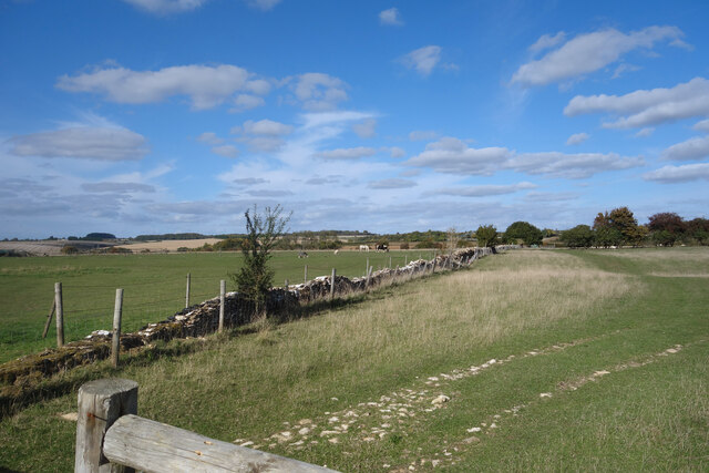
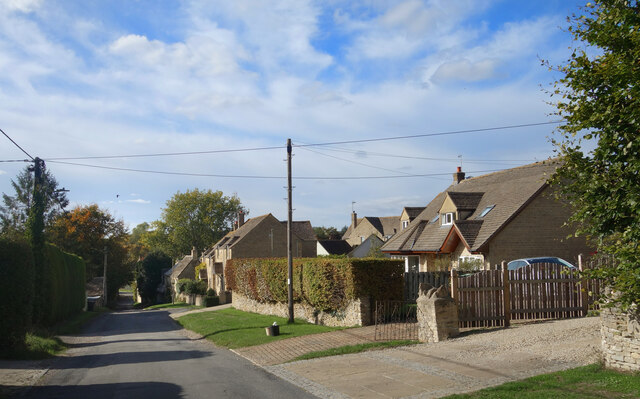
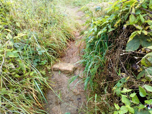
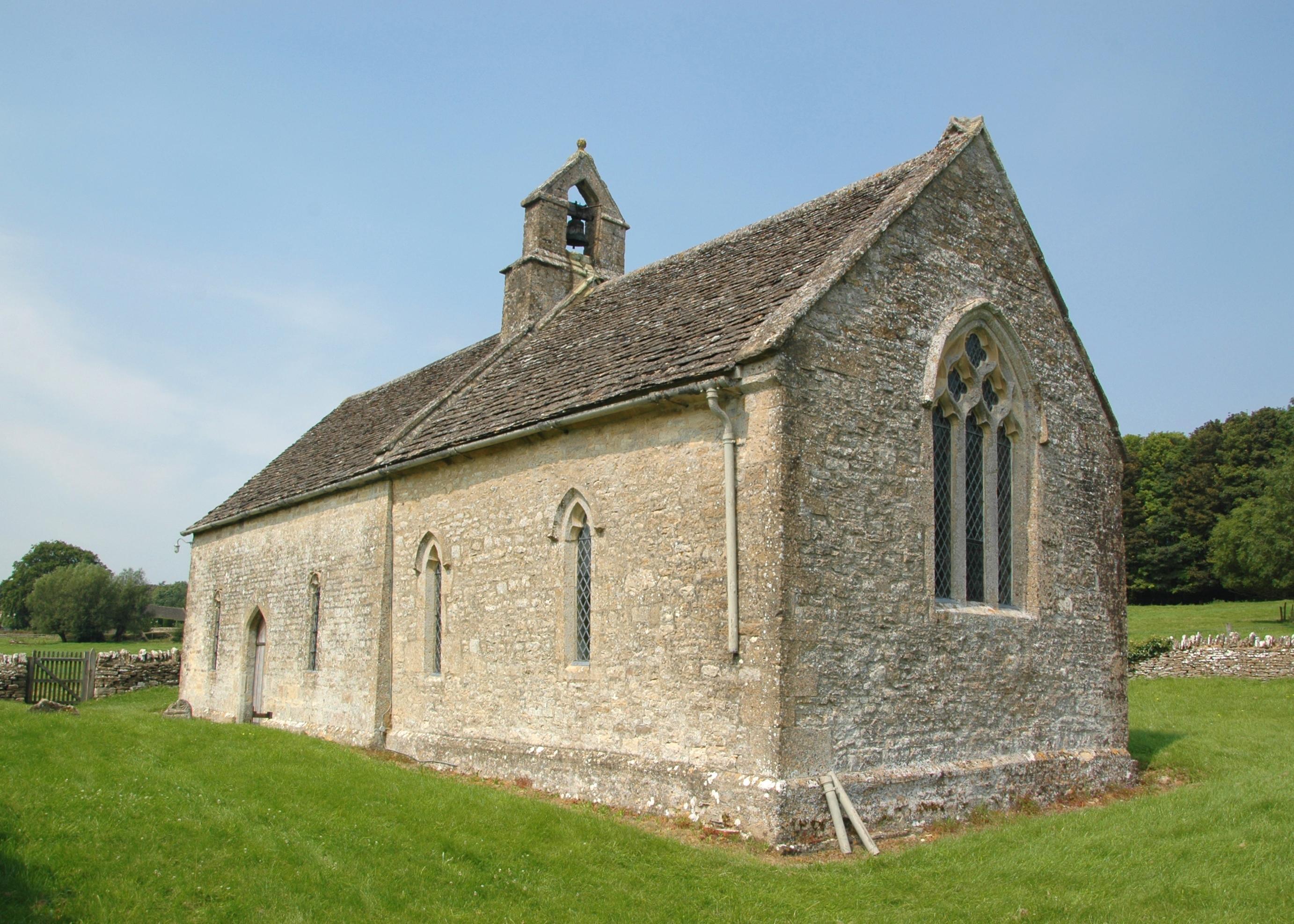
Widley Copse Images
Images are sourced within 2km of 51.825505/-1.602298 or Grid Reference SP2714. Thanks to Geograph Open Source API. All images are credited.


Widley Copse is located at Grid Ref: SP2714 (Lat: 51.825505, Lng: -1.602298)
Administrative County: Oxfordshire
District: West Oxfordshire
Police Authority: Thames Valley
What 3 Words
///helping.reverted.sending. Near Burford, Oxfordshire
Nearby Locations
Related Wikis

Fulbrook, Oxfordshire
Fulbrook is a village and civil parish immediately northeast of Burford in West Oxfordshire. The 2011 Census recorded the parish's population as 437....

Swinbrook and Widford
Swinbrook and Widford is a civil parish in West Oxfordshire district, in the county of Oxfordshire, England. It comprises the village of Swinbrook and...
Swinbrook
Swinbrook is a village and former civil parish, now in the parish of Swinbrook and Widford, in the West Oxfordshire district, in the county of Oxfordshire...
Widford, Oxfordshire
Widford is a deserted medieval village on the River Windrush about 1.5 miles (2.4 km) east of Burford in West Oxfordshire. The village was an exclave of...
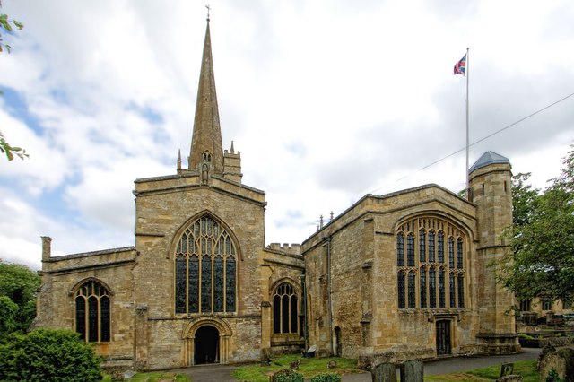
Church of St John the Baptist, Burford
The Anglican Church of St John the Baptist in Burford, Oxfordshire, England is a Grade I listed building.The Church of England parish church is dedicated...
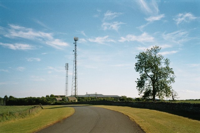
Leafield Technical Centre
Leafield Technical Centre is a former radio transmission station, now turned motorsports centre of excellence, located in the hamlet of Langley, in the...
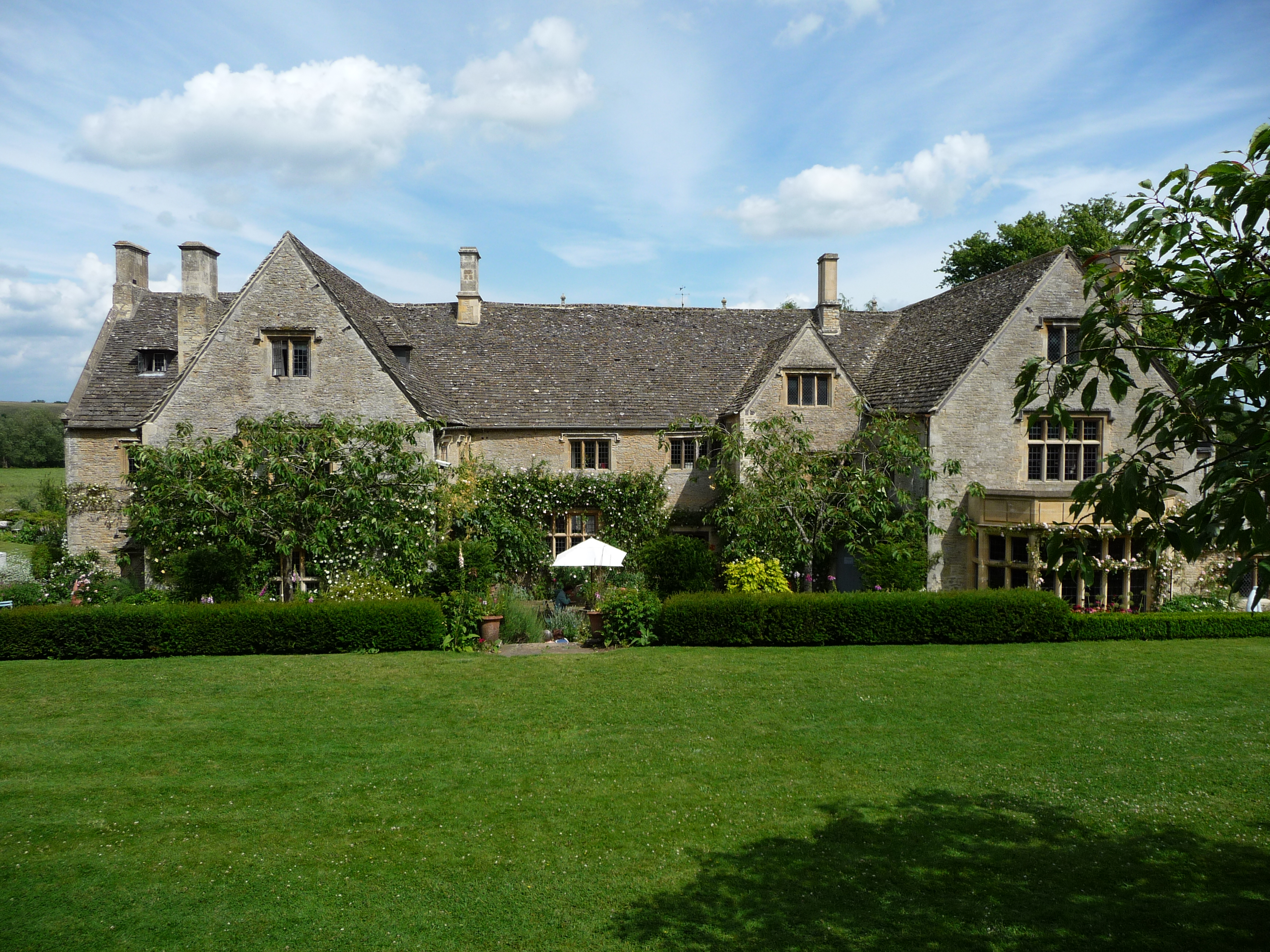
Asthall Manor
Asthall Manor is a gabled Jacobean Cotswold manor house in Asthall, Oxfordshire. It was built in about 1620 and altered and enlarged in about 1916. The...

Burford Methodist Church
Burford Methodist Church is a baroque building in the High Street of Burford, Oxfordshire. It was built between about 1715 and 1730 as a private house...
Nearby Amenities
Located within 500m of 51.825505,-1.602298Have you been to Widley Copse?
Leave your review of Widley Copse below (or comments, questions and feedback).