Middleton Wood
Wood, Forest in Derbyshire Derbyshire Dales
England
Middleton Wood

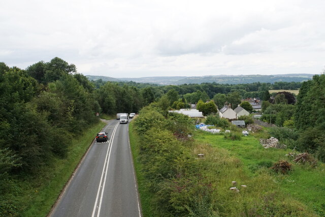
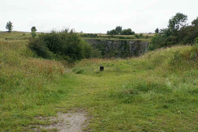
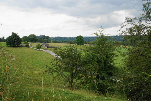
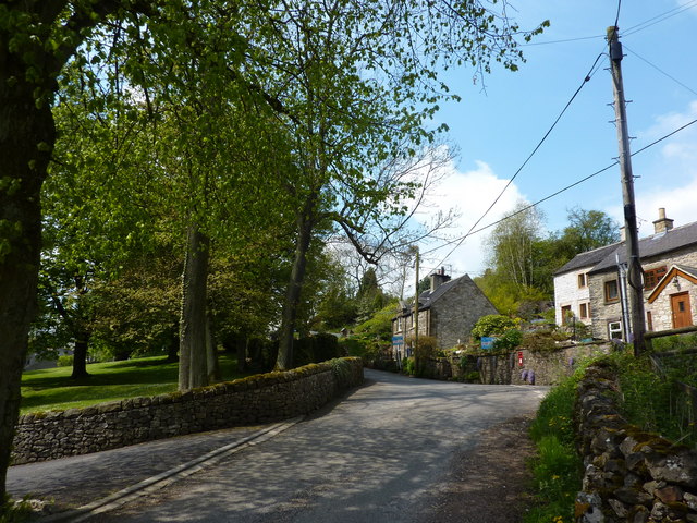
Middleton Wood is a picturesque forest located in Derbyshire, England. It stretches over an area of approximately 500 acres and is known for its rich biodiversity and natural beauty. The wood is situated near the village of Middleton-by-Wirksworth, providing a tranquil retreat for locals and visitors alike.
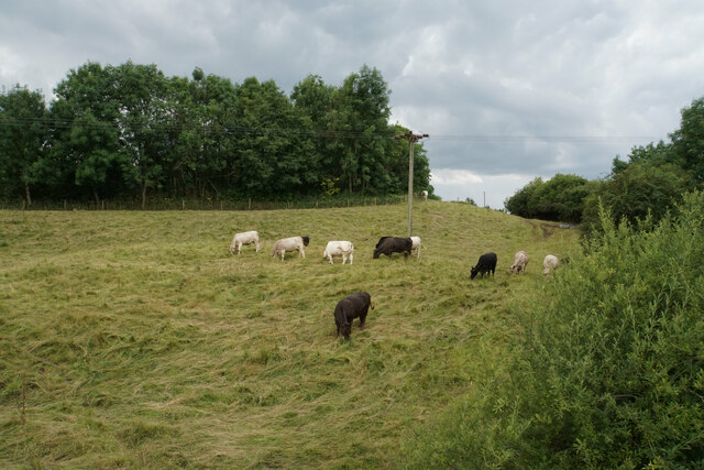
The woodland is primarily composed of broad-leaved trees, including oak, beech, and ash, which create a dense canopy overhead. These trees provide habitat for a variety of wildlife species, such as deer, badgers, and numerous bird species, making it a popular spot for wildlife enthusiasts and birdwatchers.
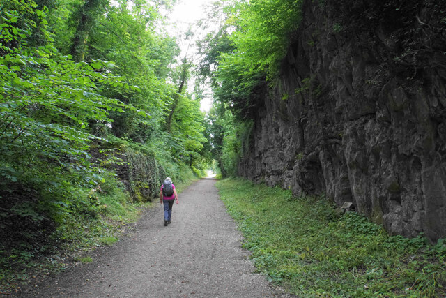
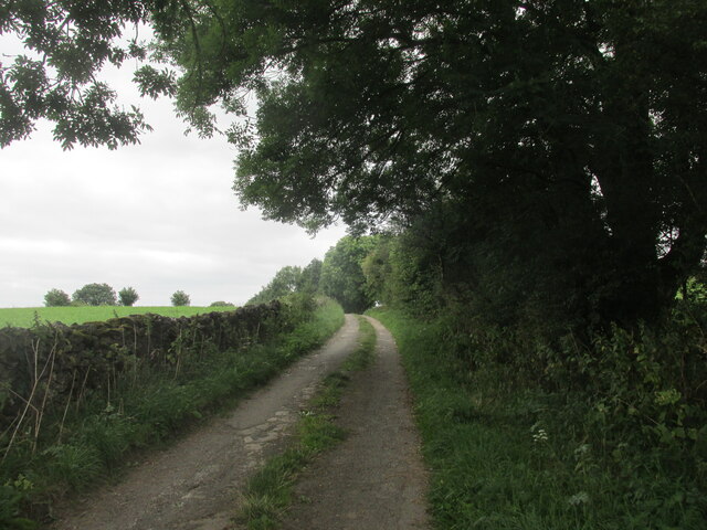
A network of well-maintained trails meanders through Middleton Wood, allowing visitors to explore its diverse habitats and enjoy the peaceful surroundings. The trails offer a range of difficulty levels, catering to both casual strollers and experienced hikers. Along the way, visitors can discover small streams, wildflowers, and ancient trees, adding to the enchanting atmosphere of the wood.
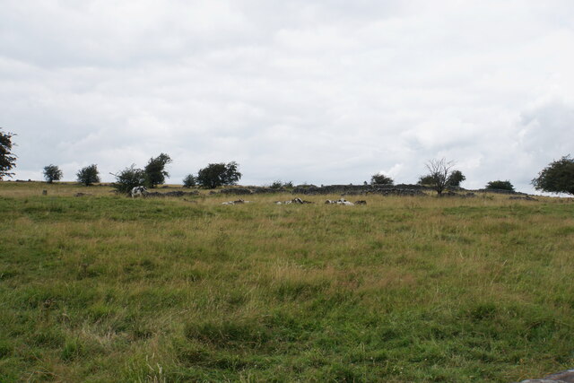
Middleton Wood is also home to several archaeological sites, including remnants of medieval settlements and a Roman lead mine. These historical features add an extra layer of interest for those fascinated by the area's past.
The wood is open to the public year-round, and there are no entrance fees or permits required. Visitors are encouraged to respect the natural environment and follow designated paths to preserve the delicate ecosystems within the wood.
Overall, Middleton Wood offers a tranquil and captivating experience for nature lovers, history enthusiasts, and anyone seeking solace in the beauty of the Derbyshire countryside.
If you have any feedback on the listing, please let us know in the comments section below.
Middleton Wood Images
Images are sourced within 2km of 53.108339/-1.5948601 or Grid Reference SK2756. Thanks to Geograph Open Source API. All images are credited.


Middleton Wood is located at Grid Ref: SK2756 (Lat: 53.108339, Lng: -1.5948601)
Administrative County: Derbyshire
District: Derbyshire Dales
Police Authority: Derbyshire
What 3 Words
///positives.snowballs.watching. Near Cromford, Derbyshire
Nearby Locations
Related Wikis
Slaley, Derbyshire
Slaley is a hamlet in the civil parish of Bonsall, in the Derbyshire Dales district, in the county of Derbyshire, England. The hamlet is located to the...

Middleton-by-Wirksworth
Middleton or Middleton-by-Wirksworth is an upland village and civil parish lying approximately one mile NNW of Wirksworth, Derbyshire, England. Middleton...
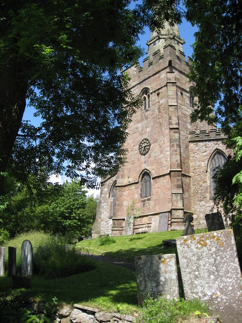
St James the Apostle's Church, Bonsall
St James the Apostle's Church, Bonsall is a Grade II* listed parish church in the Church of England: 101 in Bonsall, Derbyshire. == History == The church...

Bonsall, Derbyshire
Bonsall is a village and civil parish in the Derbyshire Dales on the edge of the Peak District. The civil parish population, including Brightgate and Horse...
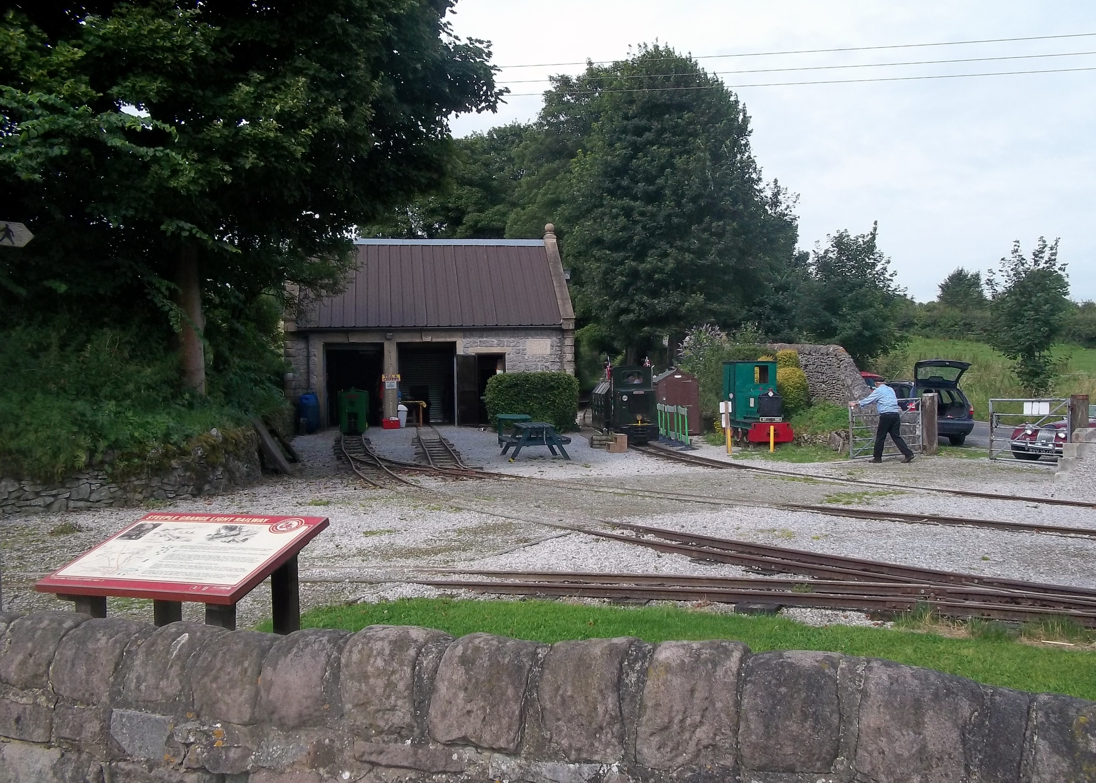
Steeple Grange Light Railway
The Steeple Grange Light Railway is a narrow-gauge heritage railway visitor attraction near Wirksworth in Derbyshire, England. Opened in 1985 on the trackbed...

Hopton Tunnel
Hopton Tunnel is a former railway tunnel in Hopton, Derbyshire. Located on the former Cromford and High Peak Railway. The tunnel was closed along with...

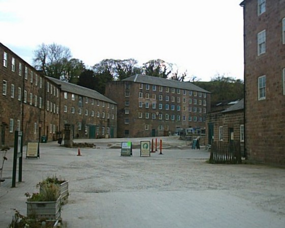
National Stone Centre
The National Stone Centre is a museum, an industrial heritage discovery centre and a Site of Special Scientific Interest at Wirksworth, near Matlock Bath...
Cromford
Cromford () is a village and civil parish in Derbyshire, England, in the valley of the River Derwent between Wirksworth and Matlock. It is 17 miles (27...
Nearby Amenities
Located within 500m of 53.108339,-1.5948601Have you been to Middleton Wood?
Leave your review of Middleton Wood below (or comments, questions and feedback).